Plizio Visual Lab
Beayop

ℹ️Practical info — Beayop
▾
🌤 Weather — 5 days
📍 Nearby
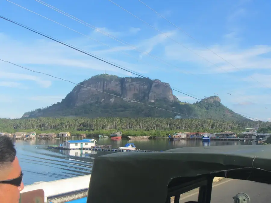
Sights nearby
💡 Tips
- Bring plenty of cash as ATMs are scarce.
- Travel during daylight hours due to limited road lighting.
- Learn a few words of Spanish or local Fang.
- Dress comfortably for the hot and humid climate.
🍽 Food
Staple side dishes found at local village eateries.
Available from small roadside vendors around the center.
Try these at small family-run spots in the village center.
🛍 Shopping · 🧘 Quiet spots
The best spot for fresh produce and basic daily necessities.
Here you can find seasonal fruits straight from the farmers.
Walk carefully along the rural paths at the edge of the woods.
Enjoy the peaceful countryside vibe away from any hustle.
Water temperature…
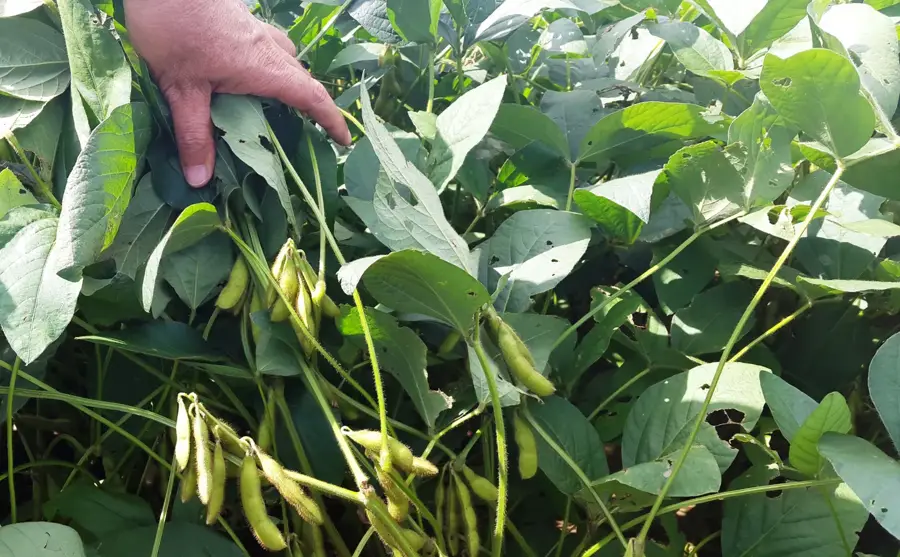
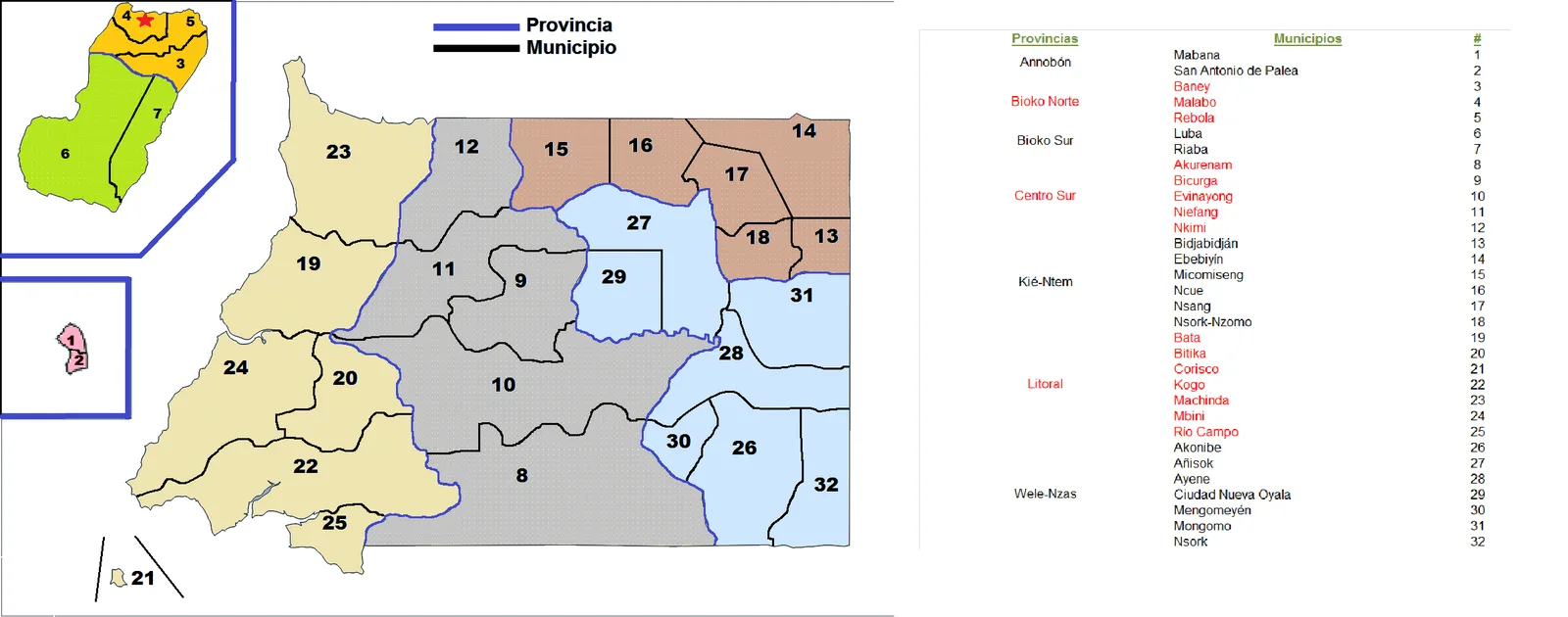
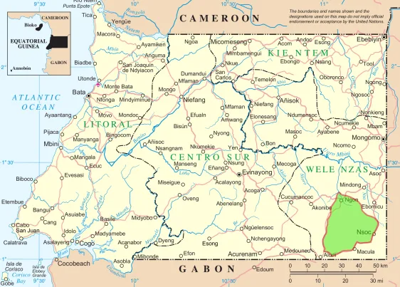
Beayop is a rural community in the interior of Rio Muni, located in the Kié-Ntem province of northeastern Equatorial Guinea. The settlement is situated in a flat to gently undulating region that is extensively used for small-scale subsistence farming. Due to its proximity to the borders of Gabon and Cameroon, Beayop serves as a point for cultural exchange and local cross-border trade. The climate is typical of equatorial Africa, featuring two rainy seasons and constant warmth that promotes the growth of root crops and cocoa. Historically, the area was a site for the migratory movements of Fang clans, who today constitute the majority of the population. The town's architecture is modest and functional, with modern building materials increasingly replacing traditional ones. Beayop functions as a local supply center for surrounding homesteads and plays a role in distributing agricultural products to the markets in Ebebiyín and Mongomo. Despite its remoteness, the community is well-connected to regional infrastructure via a network of rural roads.
- Location: Equatorial Guinea
- Nearby: Mengomeyén (20 km)
Best time to visit & climate
The most pleasant time to visit is Jun–Aug.
| Jan | Feb | Mar | Apr | May | Jun | Jul | Aug | Sep | Oct | Nov | Dec | |
|---|---|---|---|---|---|---|---|---|---|---|---|---|
| Avg °C | 24 | 24 | 24 | 24 | 24 | 23 | 23 | 23 | 23 | 23 | 23 | 24 |
| Rain mm | 70 | 93 | 188 | 173 | 145 | 75 | 30 | 54 | 130 | 263 | 228 | 103 |
Geography
Facts
- Part of the Ebebiyín administrative district.
- Center for the local cultivation of peanuts (groundnuts).
- Important gathering place for Fang clans during ceremonies.
- Situated at an elevation of about 620 meters.
- Located near the Cameroon border in the tri-border area.
- Features a small community health post for the region.
Explore nearby
Notable places around
Route planner — Car & Motorhome
Where do you start? We build the route here, with stops and country notes along the way.
© OpenStreetMap contributors · OpenRouteService
Frequently asked questions
Where is Beayop located?
How do you get to Beayop?
What can you see in Beayop?
Are there tourist facilities in Beayop?
What climate can I expect in Beayop?
Beayop: where is it located?
Beayop: when is the best time to visit?
Beayop: why is it worth visiting?

Nearby cities
Nature
More places