Plizio Visual Lab
Monte Bong
Weather…
Water temperature…
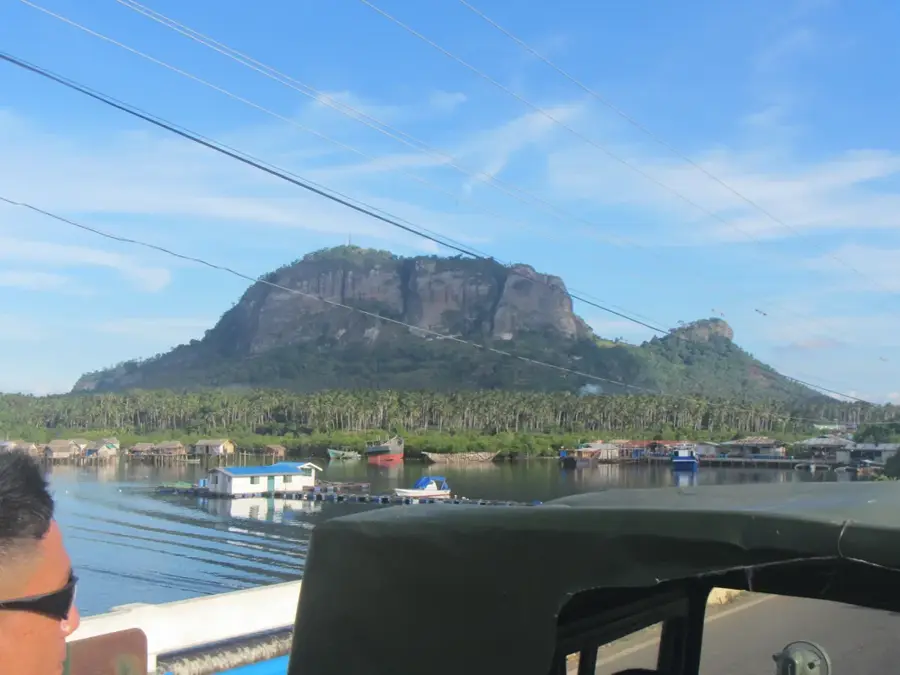
Monte Bong is a significant mountain peak located in the continental region of Equatorial Guinea, known as Rio Muni or Mbini. It is part of the Sierra de Niefang mountain range, which serves as a major geographical transition between the coastal lowlands and the interior crystalline plateau. Reaching an elevation of approximately 1,200 meters above sea level, the mountain is characterized by its dense primary tropical rainforest cover and rugged terrain. This area is a vital hotspot for biodiversity, providing a sanctuary for numerous endemic species of flora and fauna that thrive in the humid, equatorial climate. Geologically, the massif is composed of ancient Precambrian basement rocks, reflecting the long-term tectonic stability of the African Plate in this sector. While it remains relatively inaccessible and unexplored by international tourism, Monte Bong is a crucial landmark for regional conservation efforts and scientific research into Central African montane ecosystems. Its elevation significantly influences local rainfall patterns and supports the headwaters of several regional river systems.
- Location: Equatorial Guinea
- Nearby: Beayop (20 km)
Best time to visit & climate
The most pleasant time to visit is Jun–Aug.
| Jan | Feb | Mar | Apr | May | Jun | Jul | Aug | Sep | Oct | Nov | Dec | |
|---|---|---|---|---|---|---|---|---|---|---|---|---|
| Avg °C | 24 | 24 | 24 | 24 | 24 | 23 | 23 | 23 | 23 | 23 | 23 | 24 |
| Rain mm | 70 | 93 | 188 | 173 | 145 | 75 | 30 | 54 | 130 | 263 | 228 | 103 |
📋 Practical info
Geography
Facts
- The peak reaches an elevation of approximately 1,200 meters above sea level.
- It is located within the Rio Muni mainland region of Equatorial Guinea.
- Monte Bong is part of the ecologically diverse Sierra de Niefang range.
- The mountain is predominantly composed of ancient Precambrian rock.
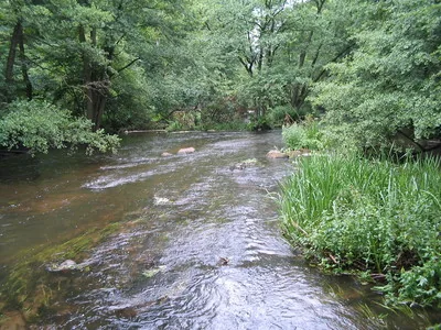
- It serves as a vital watershed for several local river systems.
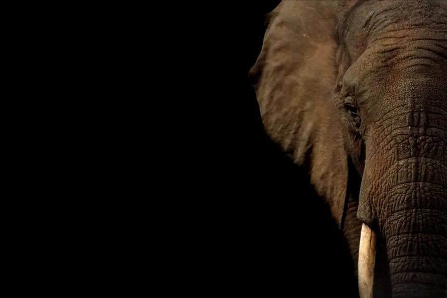
- The slopes provide a pristine habitat for numerous rare Central African species.
Explore nearby
Notable places around
Route planner — Car & Motorhome
Where do you start? We build the route here, with stops and country notes along the way.
© OpenStreetMap contributors · OpenRouteService
Sights nearby
Frequently asked questions
Where is Monte Bong located?
How high is the summit?
Is there mining there?
What is the vegetation like?
Are guides necessary?
Monte Bong: where is it located?
Monte Bong: when is the best time to visit?
Monte Bong: why is it worth visiting?

Nearby cities

Nature
More places