Plizio Visual Lab
Gabal el-Deir
Weather…
Water temperature…
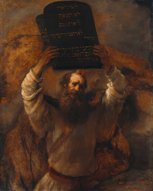
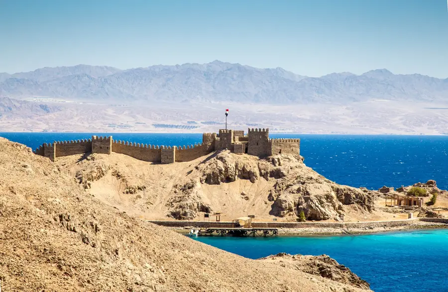
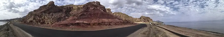
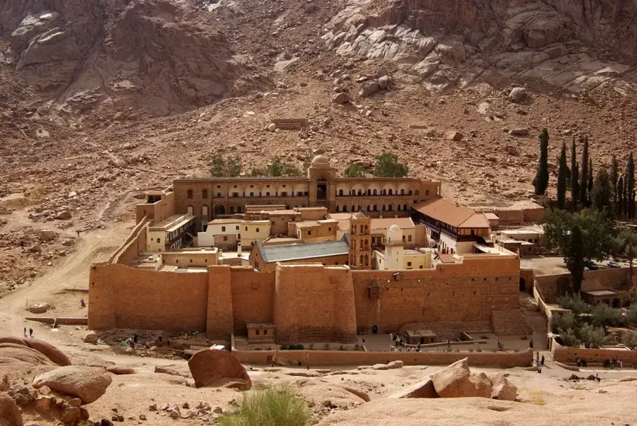
Gabal el-Deir is a prominent mountain in the Sinai Peninsula of Egypt, rising to an elevation of approximately 1,970 meters above sea level. Its name translates to the "Mountain of the Monastery," a reference to its proximity to the historic Saint Catherine's Monastery located in the valley below. Historically, the mountain served as a significant retreat for Christian hermits during the Byzantine era, who carved numerous cells and small chapels directly into the rugged granite cliffs. Geologically, the peak is composed mainly of Precambrian granite, contributing to the stark, reddish landscape that characterizes the South Sinai highlands. Hikers often frequent the trails of Gabal el-Deir to experience panoramic views of Mount Sinai and the surrounding desert wilderness. The area is part of the Saint Catherine Protectorate, a UNESCO World Heritage site recognized for both its unique biodiversity and its immense cultural heritage. Today, the mountain continues to attract visitors interested in its spiritual history and the challenging terrain that has a glimpse into the ascetic life of ancient monks.
- Location: Egypt
- Nearby: El Tor (40 km)
Best time to visit & climate
The most pleasant time to visit is Apr, May, Oct.
| Jan | Feb | Mar | Apr | May | Jun | Jul | Aug | Sep | Oct | Nov | Dec | |
|---|---|---|---|---|---|---|---|---|---|---|---|---|
| Avg °C | 10 | 12 | 16 | 20 | 24 | 27 | 29 | 29 | 26 | 22 | 17 | 12 |
| Rain mm | 3 | 3 | 3 | 1 | 0 | 0 | 0 | 0 | 0 | 1 | 3 | 2 |
📋 Practical info
Geography
Facts
- Elevation of approximately 1,970 meters above sea level
- Name means Mountain of the Monastery in Arabic
- Located within the St. Katherine UNESCO World Heritage site
- Composed mainly of reddish Precambrian granite rock
- Features numerous Byzantine-era hermit cells in the cliffs
- Provides a direct view of Saint Catherine's Monastery
Explore nearby
Notable places around
Route planner — Car & Motorhome
Where do you start? We build the route here, with stops and country notes along the way.
© OpenStreetMap contributors · OpenRouteService
Sights nearby
Frequently asked questions
Why is it called Gabal el-Deir?
Can you climb the mountain?
Are there religious sites there?
How long does the hike take?
Is the path rocky?
Gabal el-Deir: where is it located?
Gabal el-Deir: when is the best time to visit?
Gabal el-Deir: why is it worth visiting?

Nearby cities
History & landmarks
More places