Plizio Visual Lab
Suez Canal Bridge
Weather…
Water temperature…
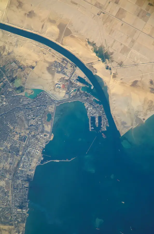
The Suez Canal Bridge, also known as the Mubarak Peace Bridge, is a massive cable-stayed bridge connecting mainland Egypt with the Sinai Peninsula at El Qantara. Inaugurated in 2001, the bridge was a joint project between the Egyptian and Japanese governments, with Japan providing a significant portion of the funding. The bridge features a clearance of 70 meters above the water, allowing even the largest container ships and tankers to pass underneath safely. The total length of the structure is approximately 3.9 kilometers, with a main span of 404 meters. Its iconic pylons reach a height of 154 meters, making it a prominent feature of the flat desert landscape. Beyond its engineering brilliance, the bridge plays a critical role in the economic development of the Sinai region by facilitating land transport between Africa and Asia.
- Location: Egypt
- Top sights: Tell Abu-Seifa · Tjaru
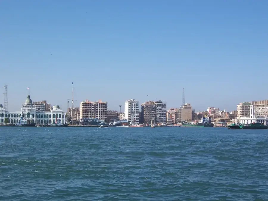
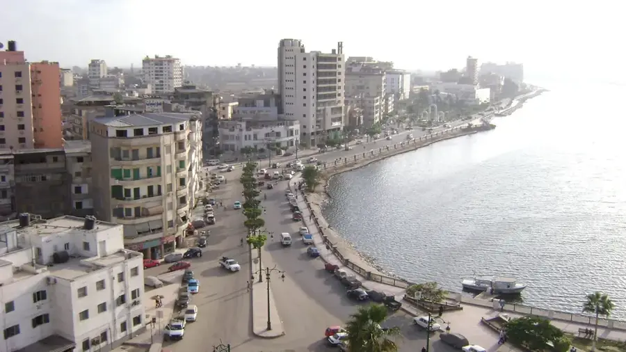
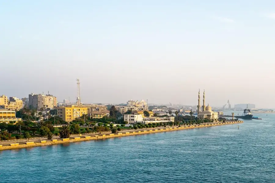
- Nearby: Ismailia (22 km)
Best time to visit & climate
The most pleasant time to visit is Apr, May, Nov.
| Jan | Feb | Mar | Apr | May | Jun | Jul | Aug | Sep | Oct | Nov | Dec | |
|---|---|---|---|---|---|---|---|---|---|---|---|---|
| Avg °C | 14 | 15 | 17 | 20 | 23 | 26 | 28 | 29 | 27 | 24 | 20 | 16 |
| Rain mm | 19 | 15 | 10 | 8 | 1 | 1 | 1 | 0 | 0 | 8 | 13 | 14 |
📋 Practical info
Geography
Facts
- The bridge was inaugurated in 2001
- Vertical clearance over the canal is 70m
- The supporting pylons are 154m high
- Total length is approximately 3.9 km
- Funded largely by the Japanese government
- Located at the city of El Qantara
Explore nearby
Notable places around
Route planner — Car & Motorhome
Where do you start? We build the route here, with stops and country notes along the way.
© OpenStreetMap contributors · OpenRouteService
Sights in the town Suez Canal Bridge (2)
Sights nearby
Frequently asked questions
Where does the Suez Canal Bridge cross the canal?
Are you allowed to stop on the bridge?
How high is the bridge?
Is there a toll fee?
Does the bridge have another name?
Suez Canal Bridge: where is it located?
Suez Canal Bridge: what is there to see?
Suez Canal Bridge: when is the best time to visit?
Suez Canal Bridge: why is it worth visiting?

Nearby cities