Plizio Visual Lab
Gabal el-Asfar

Weather…
Water temperature…
Gabal el-Asfar, also known as the 'Yellow Mountain,' is a prominent elevation located northeast of Cairo at the edge of the Nile Delta. Today, the region is primarily known for its extensive wastewater treatment infrastructure, hosting one of the largest sewage treatment plants in Africa and the Middle East. Historically, the area was a barren desert landscape with shifting sand dunes that gave the mountain its name. Due to the availability of reclaimed water, large portions of the surrounding land have been reclaimed since the early 20th century for forestry experiments and agricultural projects. This has led to the creation of woodlands and plantations in the middle of the desert, serving as a green lung for the expanding Cairo metropolitan area. Geologically, the hill consists of Tertiary sediments and sandstones. Despite the industrial nature of the treatment facilities, Gabal el-Asfar remains an intriguing example of the transformation of desert land into productive green space through modern engineering.
- Location: Egypt
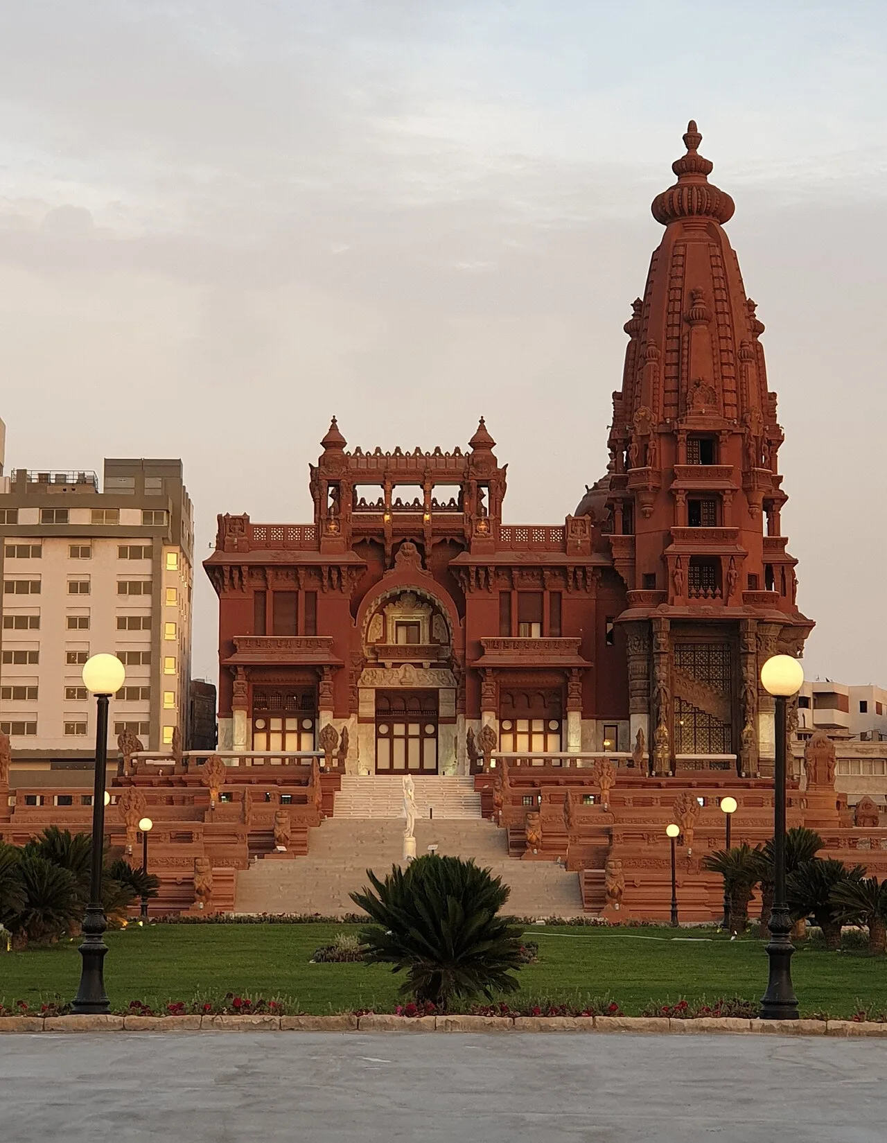
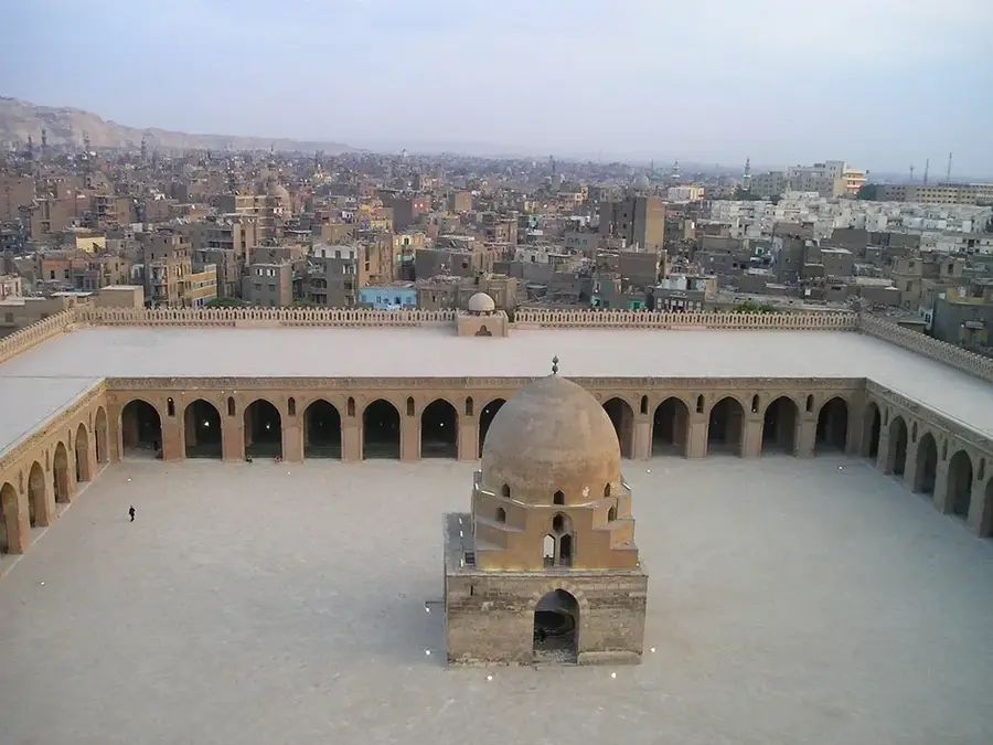
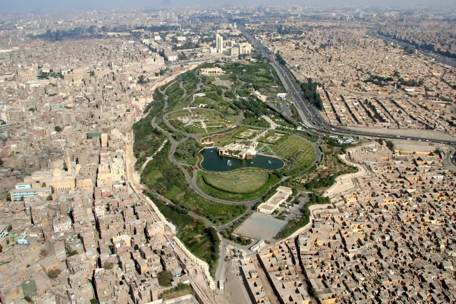
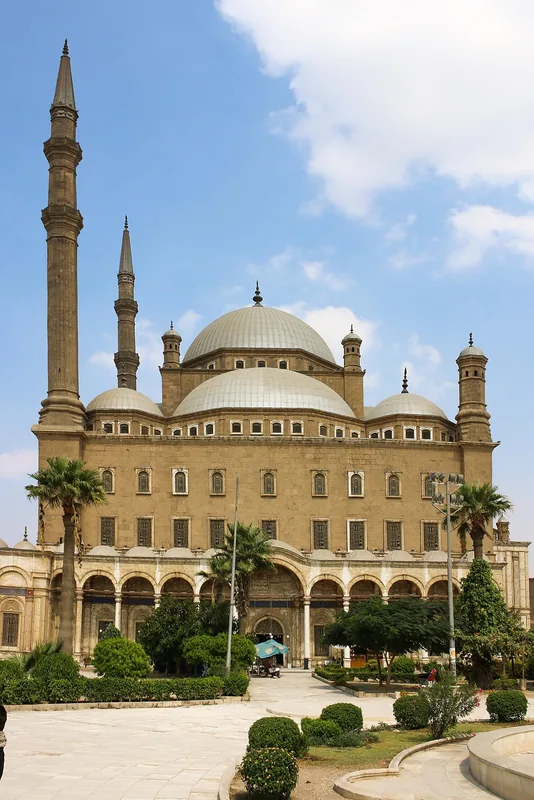
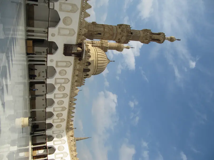
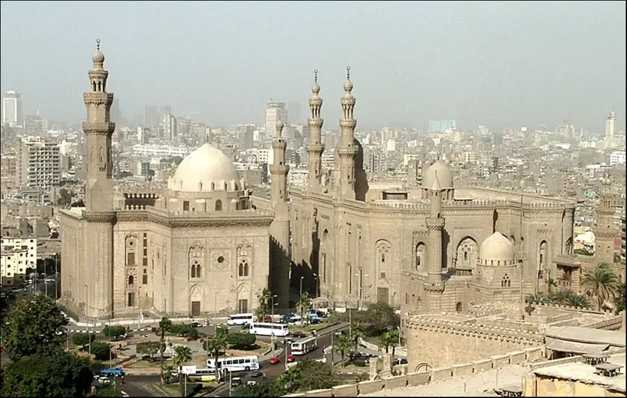
- Top sights: Ancient Heliopolis · Alameer · The two letters
- Nearby: Khanka (8 km)
Best time to visit & climate
The most pleasant time to visit is Apr, Oct, Nov.
| Jan | Feb | Mar | Apr | May | Jun | Jul | Aug | Sep | Oct | Nov | Dec | |
|---|---|---|---|---|---|---|---|---|---|---|---|---|
| Avg °C | 12 | 14 | 17 | 21 | 25 | 29 | 30 | 30 | 28 | 24 | 19 | 14 |
| Rain mm | 8 | 7 | 7 | 9 | 0 | 0 | 0 | 0 | 0 | 5 | 17 | 7 |
📋 Practical info
Geography
Facts
- Located northeast of Cairo at the transition to the Nile Delta.
- Site of one of the largest wastewater treatment plants globally.
- The name refers to the area's characteristic yellow sand dunes.
- Significant for land reclamation efforts since the 1920s.
- Features experimental forestry areas within the desert environment.
- Supplies reclaimed water for local agricultural irrigation projects.
Explore nearby
Notable places around
Route planner — Car & Motorhome
Where do you start? We build the route here, with stops and country notes along the way.
© OpenStreetMap contributors · OpenRouteService
Sights in the town Gabal el-Asfar (7)
Sights nearby
Frequently asked questions
Where is Gabal el-Asfar located?
What is the area known for?
Is the mountain a tourist destination?
Are there archaeological sites there?
What is the soil composition?
Gabal el-Asfar: where is it located?
Gabal el-Asfar: what is there to see?
Gabal el-Asfar: when is the best time to visit?
Gabal el-Asfar: why is it worth visiting?

Nearby cities
History & landmarks


Nature
More places