Plizio Visual Lab
Pucará de Quitoloma

Weather…
Water temperature…
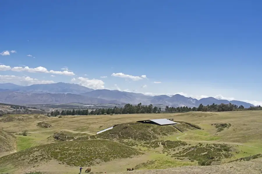
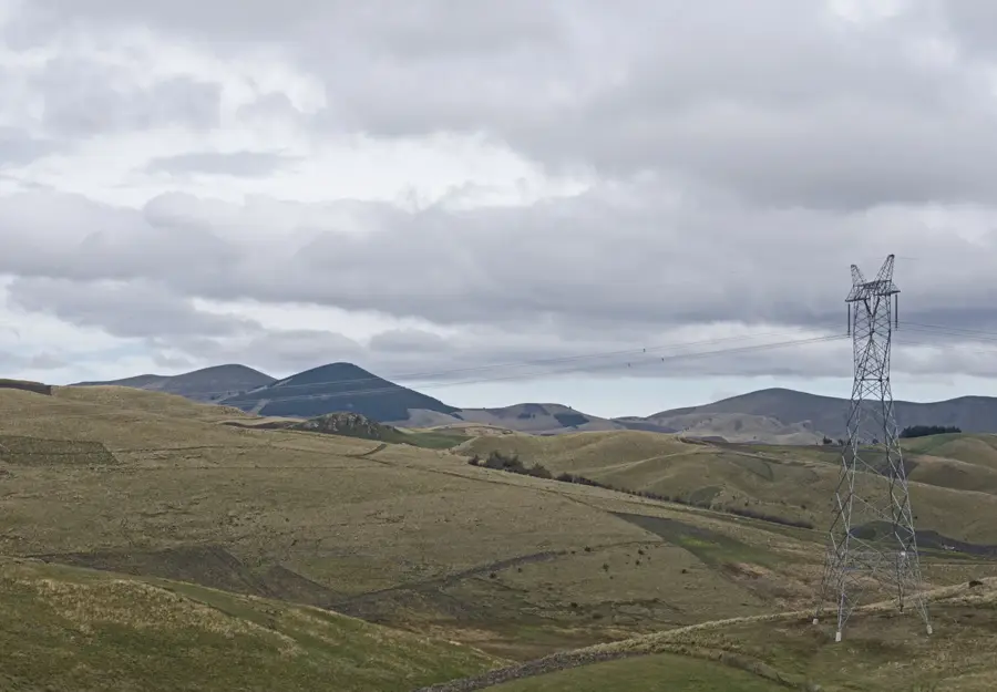
Pucará de Quitoloma is part of the Pambamarca complex and stands as one of the largest and best-preserved Inca fortresses in Ecuador. Located on a mountain ridge at an altitude of approximately 3,780 meters, it was constructed in the late 15th century during the war against the Cayambe-Caranqui peoples. The complex consists of several concentric defensive walls and over 100 structures, including residences, storehouses (qullqas), and ceremonial platforms (ushnus). Quitoloma served as a strategic headquarters for the Inca armies under Huayna Capac to control the northern territories. Its position gives an unobstructed view of the surrounding volcanoes and valleys, underscoring its military significance. Archaeological finds, such as stone sling bullets, testify to the fierce battles that took place here. Today, the site is a major monument of Inca engineering and a testament to the resistance of local peoples against imperial expansion.
- Location: Ecuador
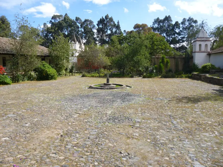
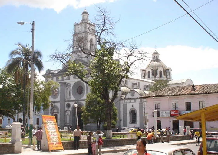
- Top sights: Mirador de Otón · La Bola Guachala · Equator
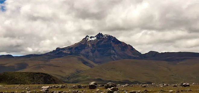
- Nearby: Cayambe (5 km)
Best time to visit & climate
The most pleasant time to visit is Jul–Sep.
| Jan | Feb | Mar | Apr | May | Jun | Jul | Aug | Sep | Oct | Nov | Dec | |
|---|---|---|---|---|---|---|---|---|---|---|---|---|
| Avg °C | 11 | 11 | 11 | 11 | 10 | 9 | 9 | 9 | 10 | 11 | 11 | 11 |
| Rain mm | 117 | 122 | 151 | 164 | 122 | 71 | 52 | 37 | 50 | 93 | 111 | 107 |
📋 Practical info
Geography
Facts
- Largest Inca fortress in the Pambamarca complex
- Situated at a strategic altitude of 3,788 meters
- Consists of more than 100 identified stone structures
- Features 3 concentric defensive walls
- Built during the reign of Huayna Capac (ca. 1490-1500)
- Site of numerous stone sling bullets found from past conflicts
Explore nearby
Notable places around
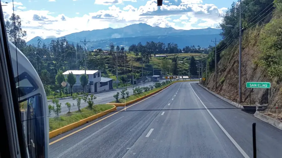
Route planner — Car & Motorhome
Where do you start? We build the route here, with stops and country notes along the way.
© OpenStreetMap contributors · OpenRouteService
Sights in the town Pucará de Quitoloma (8)
Sights nearby
Frequently asked questions
What is Quitoloma?
How is the path?
What should I bring?
Is there an entrance fee?
Can you camp there?
Pucará de Quitoloma: where is it located?
Pucará de Quitoloma: what is there to see?
Pucará de Quitoloma: when is the best time to visit?
Pucará de Quitoloma: why is it worth visiting?

Nearby cities

History & landmarks


More places