Plizio Visual Lab
Ribta

ℹ️Practical info — Ribta
▾
🌤 Weather — 5 days
📍 Nearby
Sights nearby
💡 Tips
- Bring plenty of water and snacks, as local amenities are limited.
- The coastline is rocky in places; wear sturdy water shoes if you plan to wade.
- Best visited early morning or late afternoon to avoid the intense midday heat.
- Respect local customs and dress modestly when walking through the settlement.
🍽 Food
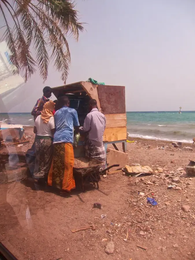
Fresh catches available at simple coastal food stalls.
Traditional Djiboutian soup, ask at local family-run eateries.
Somali spiced tea, great for a late afternoon break near the water.
🛍 Shopping · 🧘 Quiet spots
Small informal stalls selling daily necessities.
Occasionally sold by locals near the beach.
Enjoy a quiet walk along the undeveloped coastline.
Observe the simple daily life and desert-meets-ocean landscape.
Water temperature…
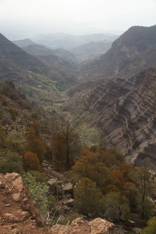
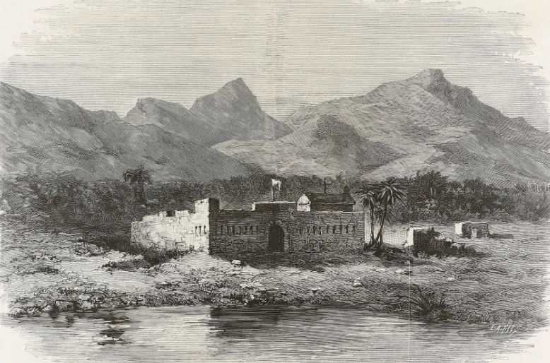
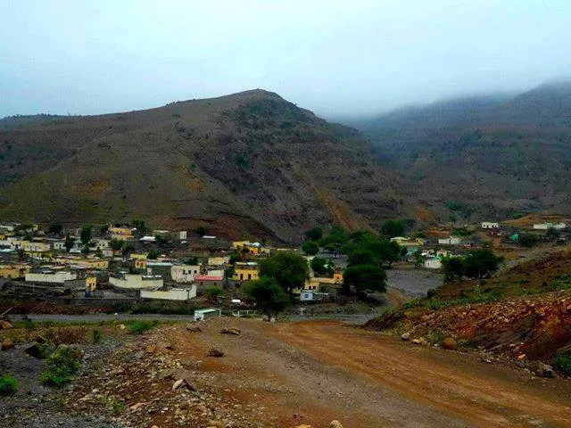
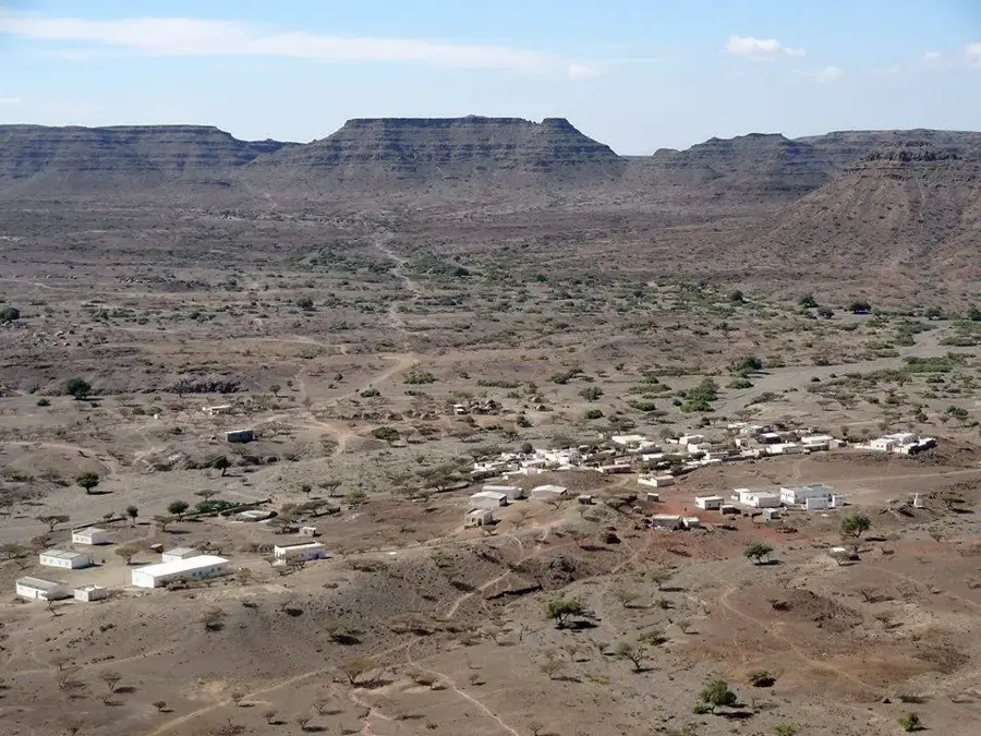
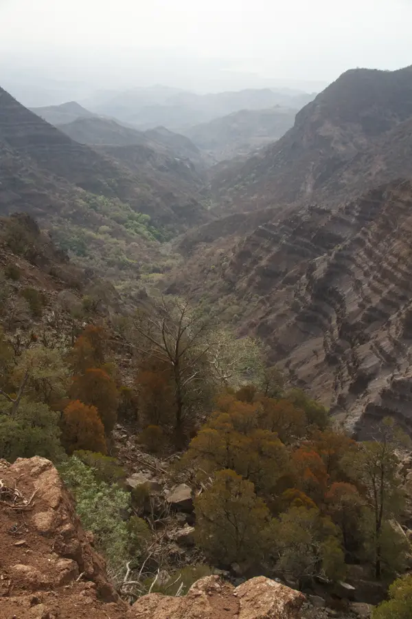
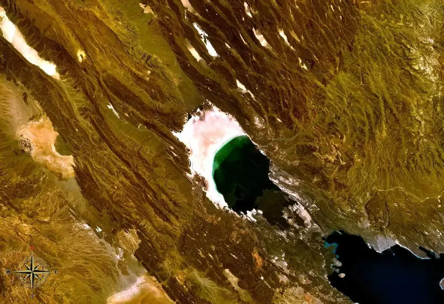
Ribta is a small, isolated settlement located in the mountainous landscape of the Tadjourah Region of Djibouti. Its position at a higher altitude provides a relative respite from the intense heat of the country's coastal plains and deserts. The terrain around Ribta is characterized by steep slopes, rocky outcrops, and deep wadis (dry valleys) that fill with water during the rare but heavy rains. The local population, mainly Afar pastoralists, has adapted their way of life to this challenging environment. They practice transhumance, moving their herds of goats and camels between different grazing grounds according to the seasons. The settlement itself is centered around a reliable water source, which is vital for both humans and livestock. Dwellings are often constructed from local stone, providing sturdy and durable shelter. Due to its remote location, access to Ribta is difficult, which contributes to its isolation and the preservation of a traditional way of life largely untouched by the modern world.
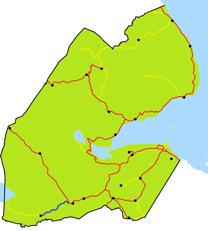
- Location: Djibouti
- Nearby: Sagallou (12 km)
Best time to visit & climate
The most pleasant time to visit is Jan, Feb, Dec.
| Jan | Feb | Mar | Apr | May | Jun | Jul | Aug | Sep | Oct | Nov | Dec | |
|---|---|---|---|---|---|---|---|---|---|---|---|---|
| Avg °C | 24 | 25 | 26 | 28 | 31 | 34 | 34 | 34 | 33 | 29 | 27 | 25 |
| Rain mm | 6 | 6 | 20 | 51 | 27 | 7 | 17 | 27 | 31 | 21 | 10 | 14 |
Geography
Facts
- Located in a mountainous region known for its rugged topography.
- The altitude results in more moderate temperatures than in the plains.
- The local economy is based on transhumance, the seasonal migration of livestock.
- The settlement is built around a vital perennial water source.
- Architecture makes use of local stone for construction.
- Ribta's remote location limits access to modern amenities and markets.
Explore nearby
Notable places around
Route planner — Car & Motorhome
Where do you start? We build the route here, with stops and country notes along the way.
© OpenStreetMap contributors · OpenRouteService
Sights in the town Ribta (1)
Frequently asked questions
Where is Ribta located?
Is Ribta accessible to tourists?
What can you see in the surroundings of Ribta?
Is there medical care in Ribta?
How is the mobile signal in Ribta?
Ribta: where is it located?
Ribta: when is the best time to visit?
Ribta: why is it worth visiting?

Nearby cities

History & landmarks
Nature
More places