Plizio Visual Lab
Mount Hemed

Weather…
Water temperature…
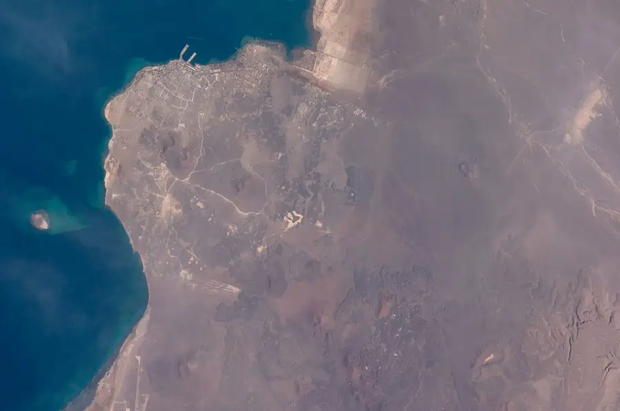
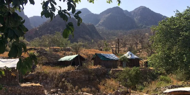
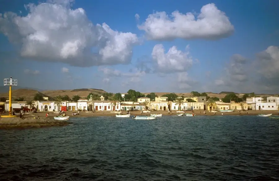
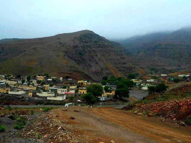
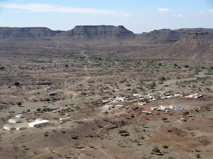
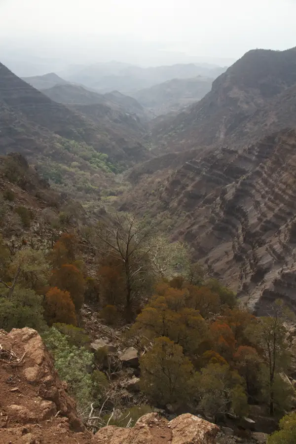
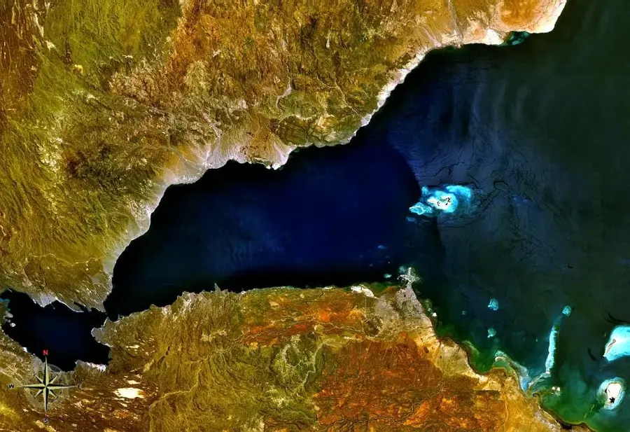
Mount Hemed is a prominent volcanic elevation in the southern part of Djibouti, not far from the border with Ethiopia. It is characterized by its distinct conical shape, stemming from its origin as a shield volcano. The rock consists primarily of dark basalt, which over millennia has developed a rough, dark patina due to weathering. Mount Hemed is located in one of the driest regions of the country, resulting in extremely sparse vegetation consisting of only a few thorny shrubs. For the local Issa-Somali population, the mountain was historically a vital point for monitoring grazing lands and caravan routes. The surrounding plain is crisscrossed by tectonic fissures, highlighting the dynamic geological nature of this region on the edge of the Afar Triangle. Today, Mount Hemed is mainly of interest to geologists studying Djibouti's volcanic history.
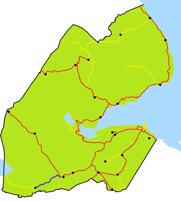
- Location: Djibouti
- Top sights: Gabone · Ouren Dô · Kaloulouwtoh Enef
- Nearby: Dorra (12 km)
Best time to visit & climate
The most pleasant time to visit is Jan, Feb, Dec.
| Jan | Feb | Mar | Apr | May | Jun | Jul | Aug | Sep | Oct | Nov | Dec | |
|---|---|---|---|---|---|---|---|---|---|---|---|---|
| Avg °C | 22 | 23 | 25 | 27 | 30 | 33 | 32 | 31 | 31 | 27 | 25 | 23 |
| Rain mm | 9 | 9 | 25 | 58 | 35 | 11 | 46 | 67 | 51 | 23 | 11 | 18 |
📋 Practical info
Geography
Facts
- Mount Hemed reaches an elevation of 1103 meters above sea level.
- It belongs to the Dikhil administrative region in southwestern Djibouti.
- The rock formations date back to the late Tertiary and early Pleistocene.
- The mountain lies in a zone of low seismic activity within the rift system.
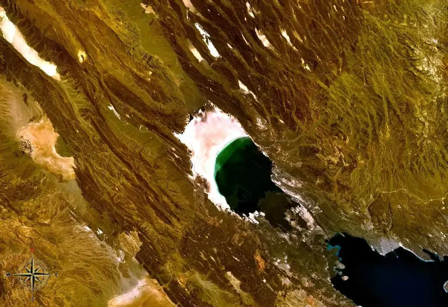
- From the summit, Lake Abbe can be seen to the west in good weather.
- There are no permanent water sources on the mountain, preventing settlement.
Explore nearby
Notable places around
Route planner — Car & Motorhome
Where do you start? We build the route here, with stops and country notes along the way.
© OpenStreetMap contributors · OpenRouteService
Sights in the town Mount Hemed (3)
Sights nearby
Frequently asked questions
What is Mount Hemed?
How do you reach the mountain?
What is the main attraction?
Are there animals there?
Is camping allowed?
Mount Hemed: where is it located?
Mount Hemed: what is there to see?
Mount Hemed: when is the best time to visit?
Mount Hemed: why is it worth visiting?

Nearby cities

History & landmarks
Nature
More places