Plizio Visual Lab
Puntarenas-Naranjo Ferry Terminal
Weather…
Water temperature…
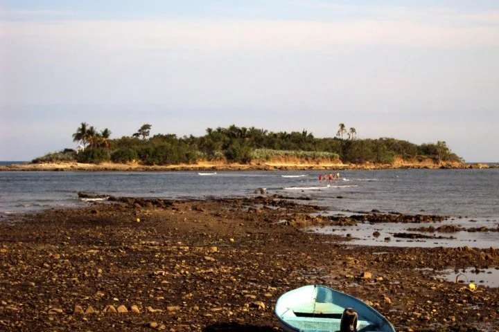
The ferry terminal in Puntarenas serves as the most critical logistical link for passengers and freight moving between mainland Costa Rica and the Nicoya Peninsula. The route to Playa Naranjo is primarily operated by the Coonatramar cooperative, providing a vital shortcut that bypasses the lengthy drive around the Tempisque Bridge. Thousands of commuters, tourists, and supply trucks utilize this service daily, cutting travel time by several hours and significantly reducing the road transport's carbon footprint. The terminal features modern infrastructure, including spacious waiting areas, heavy-duty loading ramps, and streamlined ticketing systems to handle high traffic volumes. Economically, the ferry is the backbone for supplying the peninsula with essential food, construction materials, and consumer goods. Furthermore, it plays a pivotal role in boosting tourism in popular coastal areas like Tambor and Santa Teresa by making them much more accessible. The facility's strategic importance is underlined by ongoing investments in larger, more fuel-efficient vessels designed to navigate the Gulf of Nicoya safely year-round.
- Location: Costa Rica
- Nearby: Santa Elena (8 km)
Best time to visit & climate
The most pleasant time to visit is Jan, Feb, Dec.
| Jan | Feb | Mar | Apr | May | Jun | Jul | Aug | Sep | Oct | Nov | Dec | |
|---|---|---|---|---|---|---|---|---|---|---|---|---|
| Avg °C | 27 | 28 | 29 | 29 | 28 | 27 | 27 | 27 | 26 | 26 | 26 | 26 |
| Rain mm | 14 | 8 | 10 | 48 | 198 | 190 | 150 | 186 | 259 | 288 | 132 | 34 |
📋 Practical info
Geography
Facts
- Connects Puntarenas with Playa Naranjo.
- Operated by the Coonatramar cooperative.
- Crossing takes approximately 60 to 75 minutes.
- Transports over 1 million passengers annually.
- Vital route for the logistics of the Nicoya Peninsula.
- Reduces travel distance by about 150 kilometers.
Explore nearby
Notable places around
Route planner — Car & Motorhome
Where do you start? We build the route here, with stops and country notes along the way.
© OpenStreetMap contributors · OpenRouteService
Sights in the town Puntarenas-Naranjo Ferry Terminal (1)
Sights nearby
Frequently asked questions
Where is the ferry terminal in Puntarenas located?
Where do the ferries go from here?
Do I need to book ferry tickets in advance?
How long does the crossing to Paquera take?
Are there food options at the terminal?
Puntarenas-Naranjo Ferry Terminal: where is it located?
Puntarenas-Naranjo Ferry Terminal: when is the best time to visit?
Puntarenas-Naranjo Ferry Terminal: why is it worth visiting?

Nearby cities

History & landmarks

More places