Plizio Visual Lab
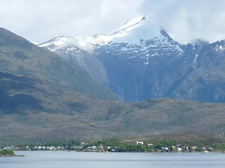
Puerto Puntarenas
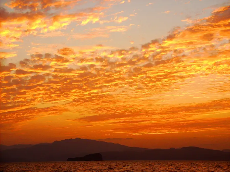
Weather…
Water temperature…
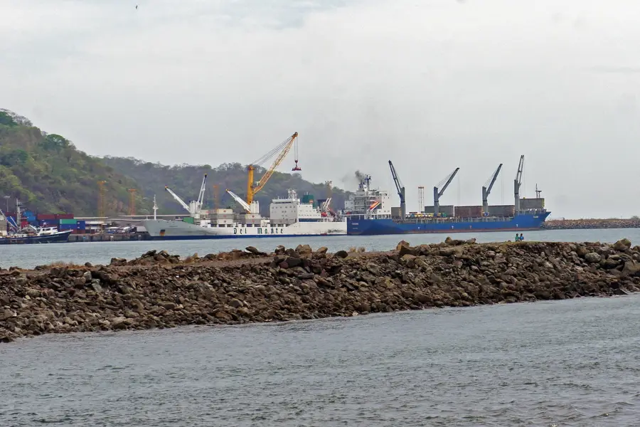
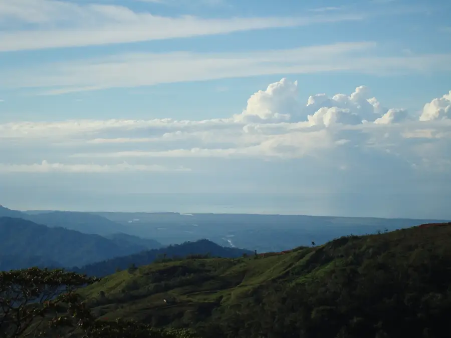
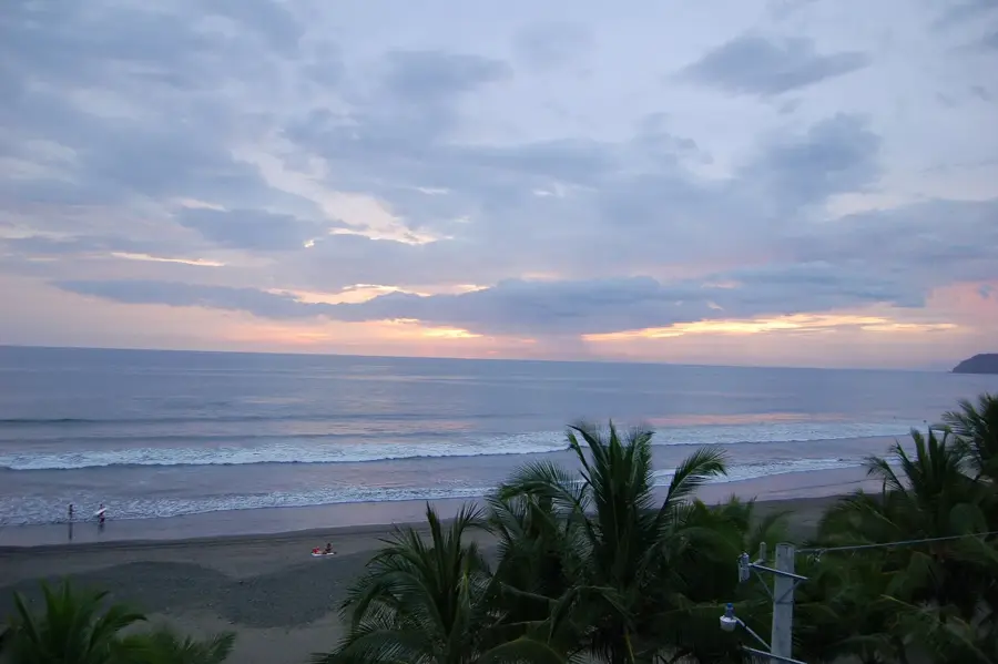
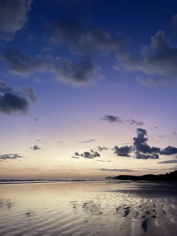
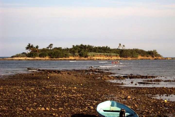
The Port of Puntarenas is one of the most significant maritime hubs on Costa Rica's Pacific coast, boasting a rich commercial history that shaped the nation. Officially declared a free port in 1840, it served as the primary gateway for exporting Costa Rican coffee to European markets before the development of Atlantic ports. Geographically, the city sits on a narrow sand spit extending into the Gulf of Nicoya, providing a protected anchorage for vessels. While much of the industrial cargo traffic was diverted to the nearby, deeper Puerto Caldera in 1981, Puntarenas remains a critical destination for international cruise ships and a center for the artisanal fishing industry. The port's infrastructure is essential for the region's logistics, hosting ferry terminals that connect the mainland with the Nicoya Peninsula. Today, its economic importance is characterized by a blend of tourism, maritime services, and its historical status as the 'Pearl of the Pacific,' attracting thousands of visitors annually.
- Location: Costa Rica
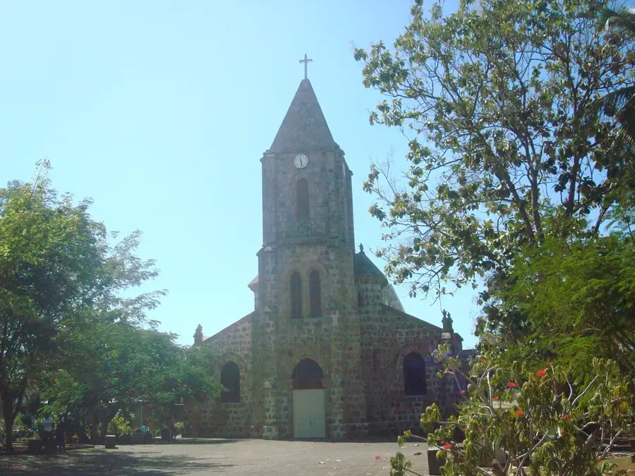
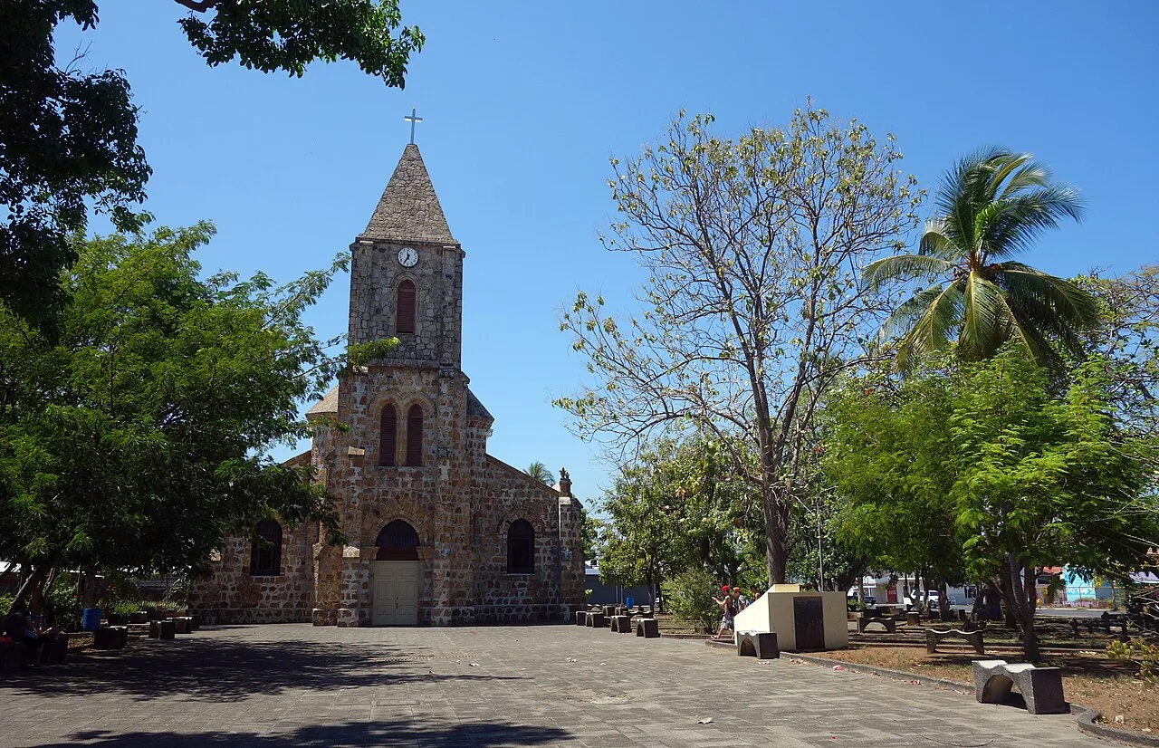
- Top sights: Roman Catholic Diocese of Puntarenas · Puntarenas Cathedral · Puntarenas Province
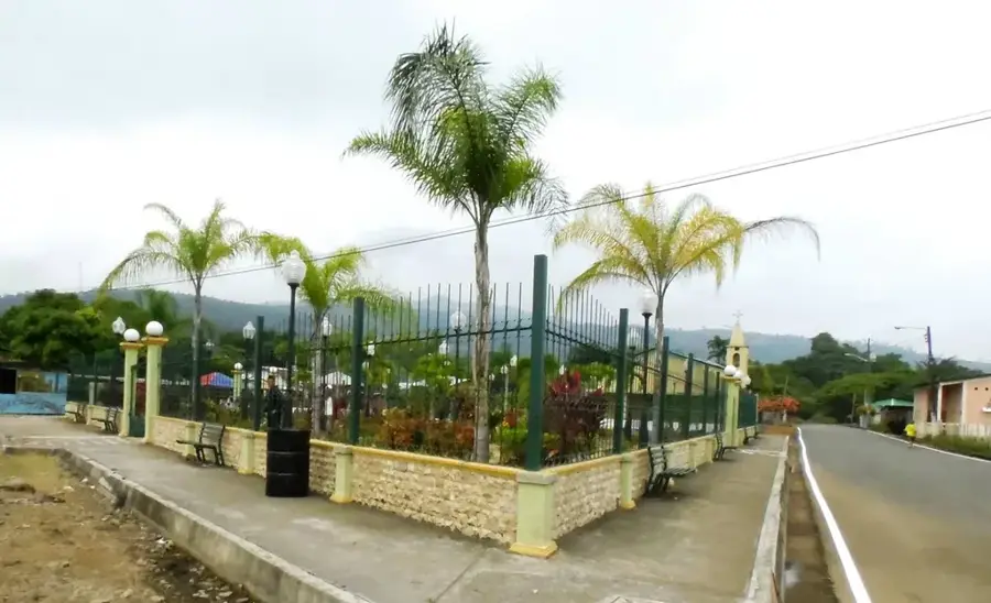
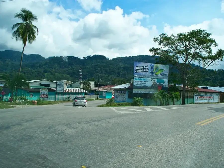
- Nearby: Chacarita (6 km)
Best time to visit & climate
The most pleasant time to visit is Jan, Feb, Dec.
| Jan | Feb | Mar | Apr | May | Jun | Jul | Aug | Sep | Oct | Nov | Dec | |
|---|---|---|---|---|---|---|---|---|---|---|---|---|
| Avg °C | 27 | 28 | 29 | 29 | 28 | 27 | 27 | 27 | 26 | 26 | 26 | 26 |
| Rain mm | 14 | 8 | 10 | 48 | 198 | 190 | 150 | 186 | 259 | 288 | 132 | 34 |
📋 Practical info
Geography
Facts
- Declared an official free port in 1840.
- Located in the sheltered waters of the Nicoya Gulf.
- Terminus for the Pacific Railroad completed in 1910.
- Features a pier extending 600 meters into the sea.
- Primary hub for international cruise ships in the west.
- Significant center for the national tuna fishing fleet.
Explore nearby
Notable places around
Route planner — Car & Motorhome
Where do you start? We build the route here, with stops and country notes along the way.
© OpenStreetMap contributors · OpenRouteService
Sights in the town Puerto Puntarenas (3)
Sights nearby
Frequently asked questions
What is the Puntarenas Terminal?
Can you walk on the pier?
What happens here during the cruise season?
Are there good seafood restaurants there?
Is the port far from the center?
Puerto Puntarenas: where is it located?
Puerto Puntarenas: what is there to see?
Puerto Puntarenas: when is the best time to visit?
Puerto Puntarenas: why is it worth visiting?

Nearby cities
History & landmarks

More places