Plizio Visual Lab
Te-Kai-Nuku Marae
Weather…
Water temperature…
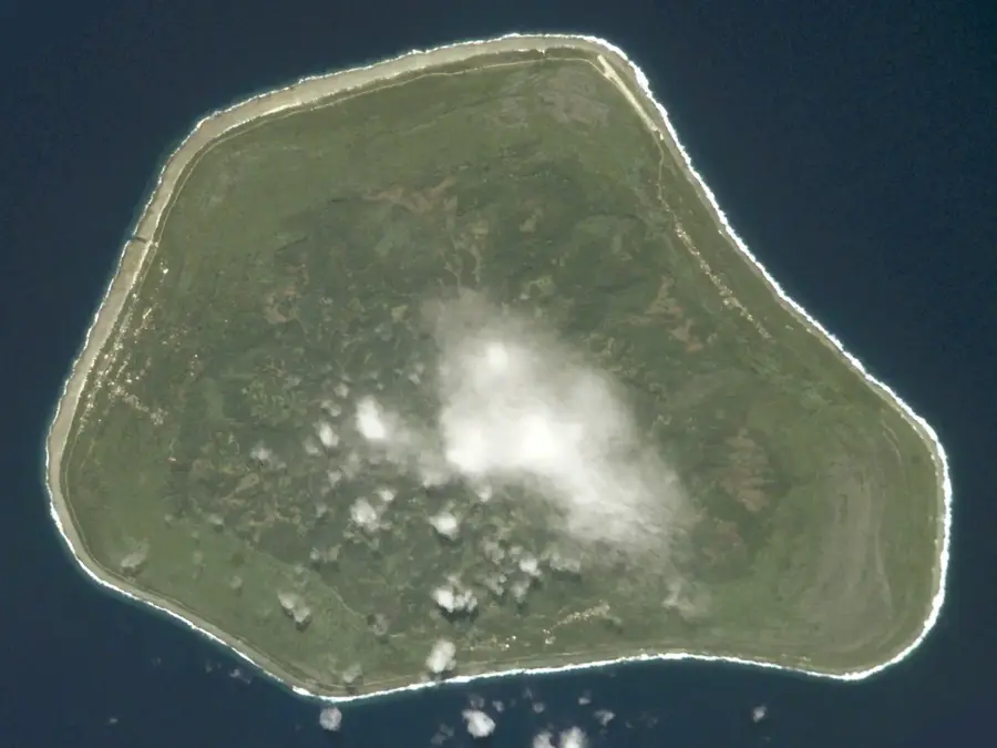
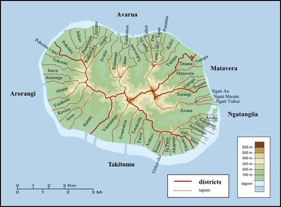
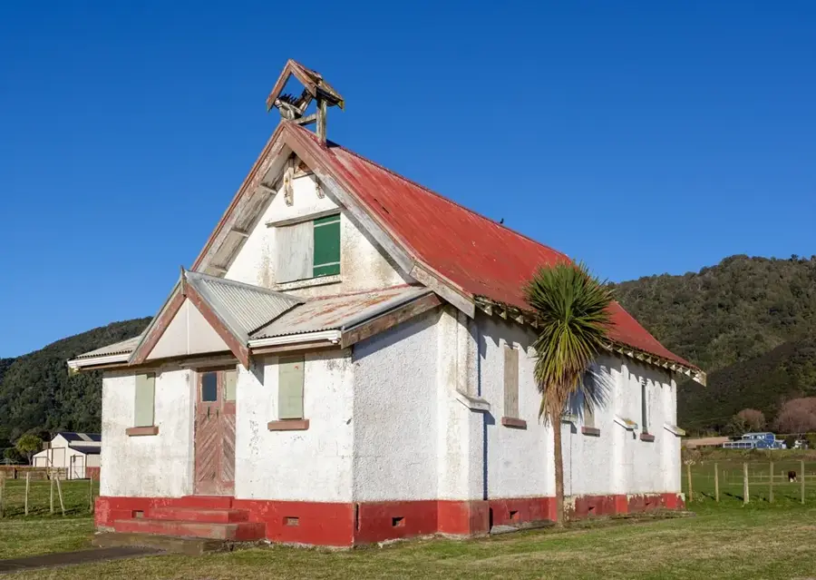
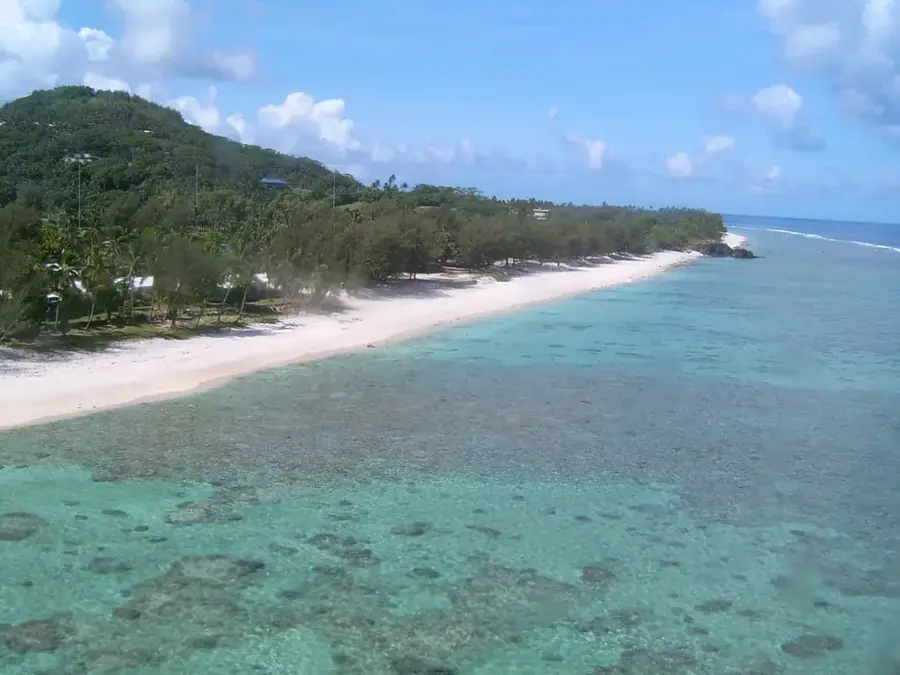
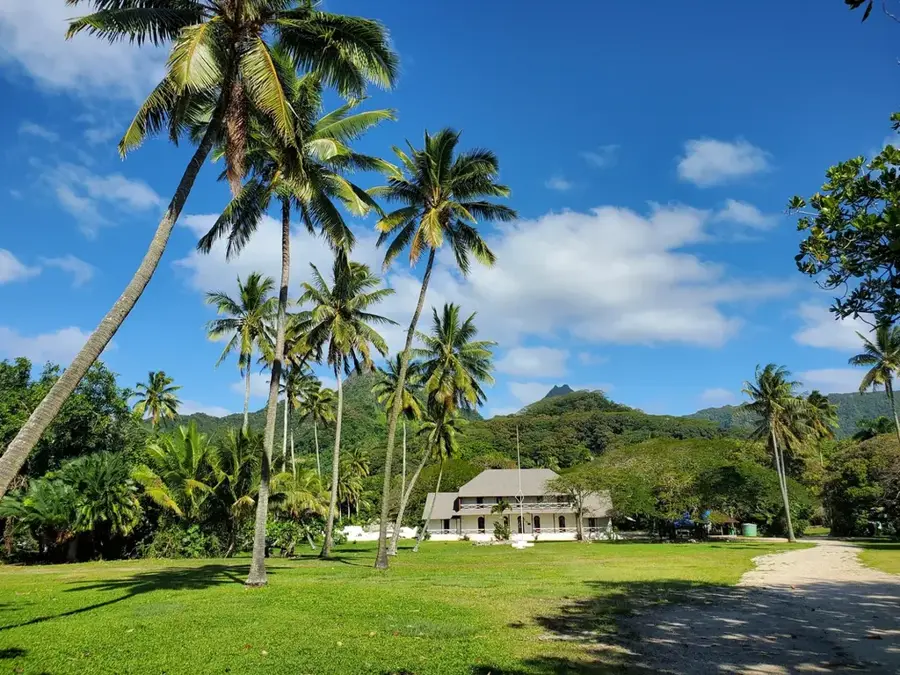
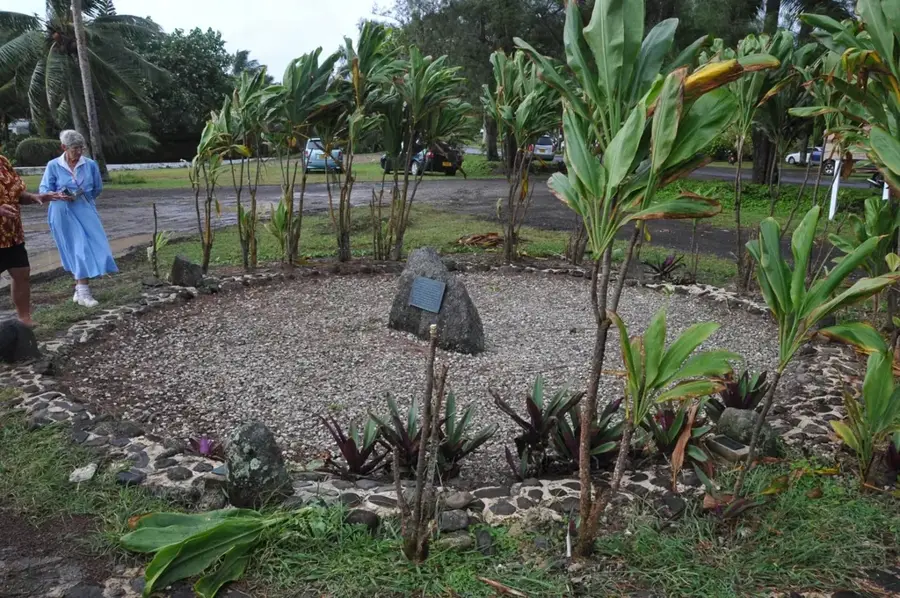
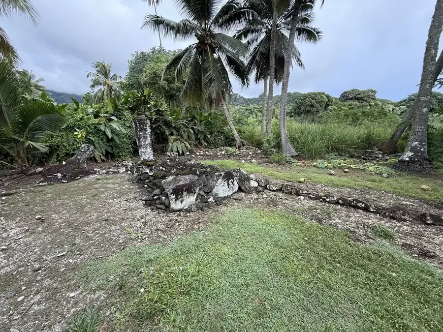
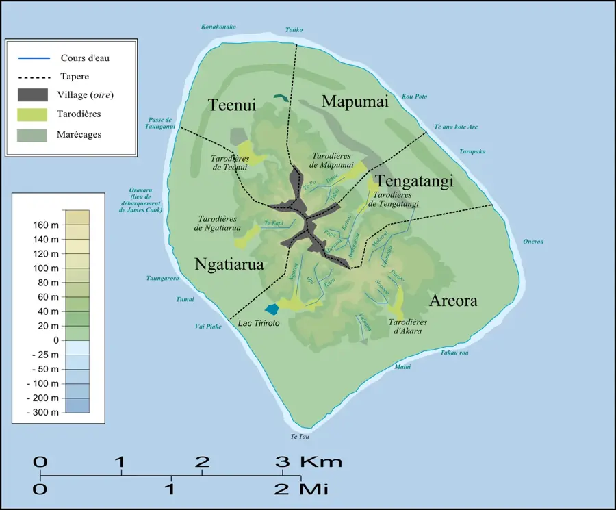
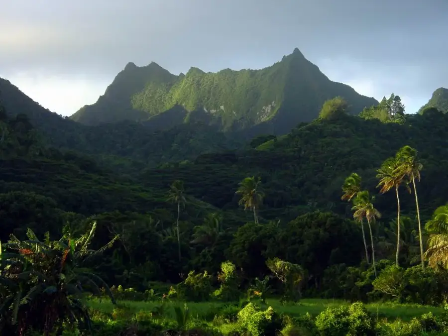
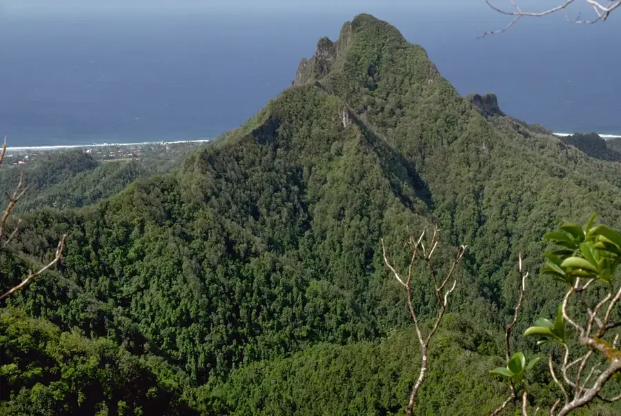
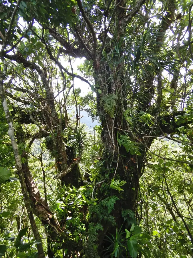
Te-Kai-Nuku Marae is a premier ceremonial and historical landmark on Mangaia Island, the second largest in the Cook Islands. This ancient site serves as a testament to the complex social hierarchy and spiritual depth of the Polynesian ancestors. The marae is constructed with carefully placed coral limestone and basalt blocks, forming a sacred courtyard that once hosted pivotal rituals, tribal meetings, and religious ceremonies. According to local oral history, Te-Kai-Nuku is deeply intertwined with the genealogy of the island's high chiefs and was regarded as a vessel for spiritual power, or Mana. Today, the remains of the stone structures offer a rare glimpse into pre-colonial architecture and the communal systems that governed island life for centuries. As a protected part of the cultural heritage, the site remains a vital link for the people of Mangaia to their ancestral traditions and identity.
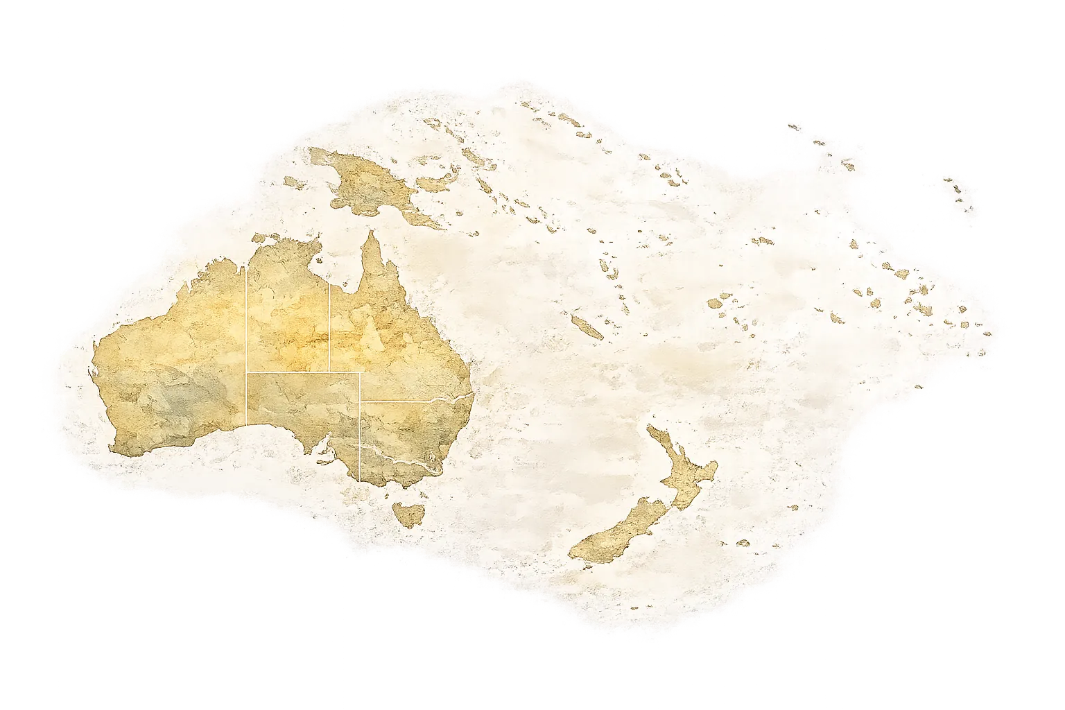
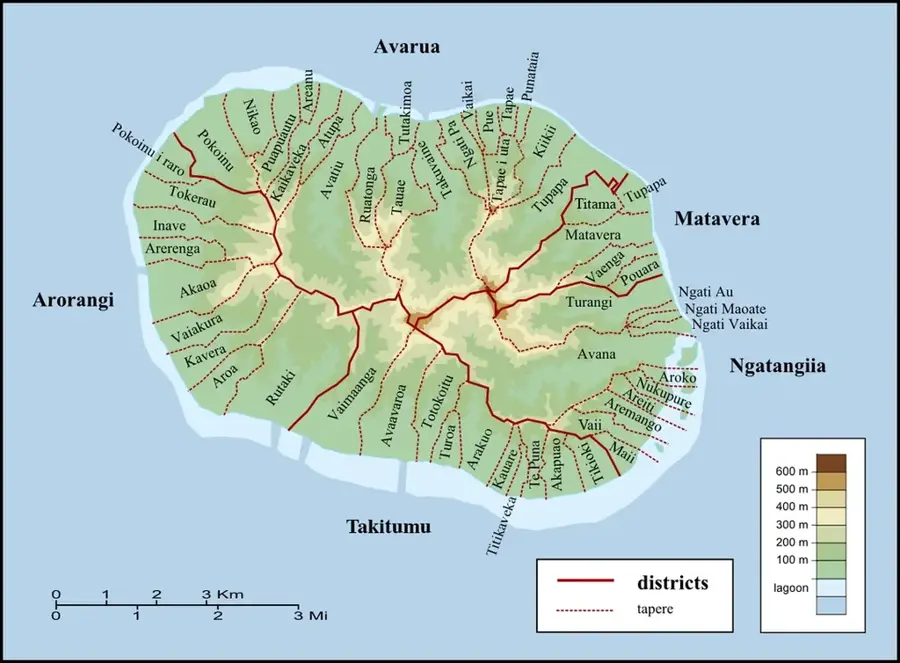
- Location: Cook Islands
- Nearby: Oneroa (4 km)
Best time to visit & climate
The most pleasant time to visit is Jun, Aug, Sep.
| Jan | Feb | Mar | Apr | May | Jun | Jul | Aug | Sep | Oct | Nov | Dec | |
|---|---|---|---|---|---|---|---|---|---|---|---|---|
| Avg °C | 26 | 27 | 27 | 26 | 25 | 24 | 23 | 22 | 23 | 23 | 24 | 25 |
| Rain mm | 170 | 184 | 181 | 146 | 123 | 65 | 86 | 66 | 86 | 83 | 135 | 170 |
📋 Practical info
Geography
Facts
- The marae is about 30 meters long and 15 meters wide.
- It is located in the interior of Mangaia.
- The name means 'The Food of the Land'.
- The site dates from before 1500 CE.
- It was sacred to the Ngāti Tane tribe.
- Excavations uncovered stone tools and fishhooks.
Explore nearby
Notable places around
Route planner — Car & Motorhome
Where do you start? We build the route here, with stops and country notes along the way.
© OpenStreetMap contributors · OpenRouteService
Sights in the town Te-Kai-Nuku Marae (1)
Sights nearby
Frequently asked questions
What is a Marae?
Where is Te-Kai-Nuku Marae located?
Can you visit the site without a guide?
What structures can be seen there?
Are there any taboos for visitors?
Te-Kai-Nuku Marae: where is it located?
Te-Kai-Nuku Marae: when is the best time to visit?
Te-Kai-Nuku Marae: why is it worth visiting?
Nearby cities

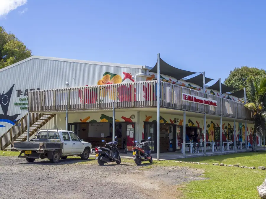
History & landmarks


Nature
More places