Plizio Visual Lab
Te Atukura

Weather…
Water temperature…
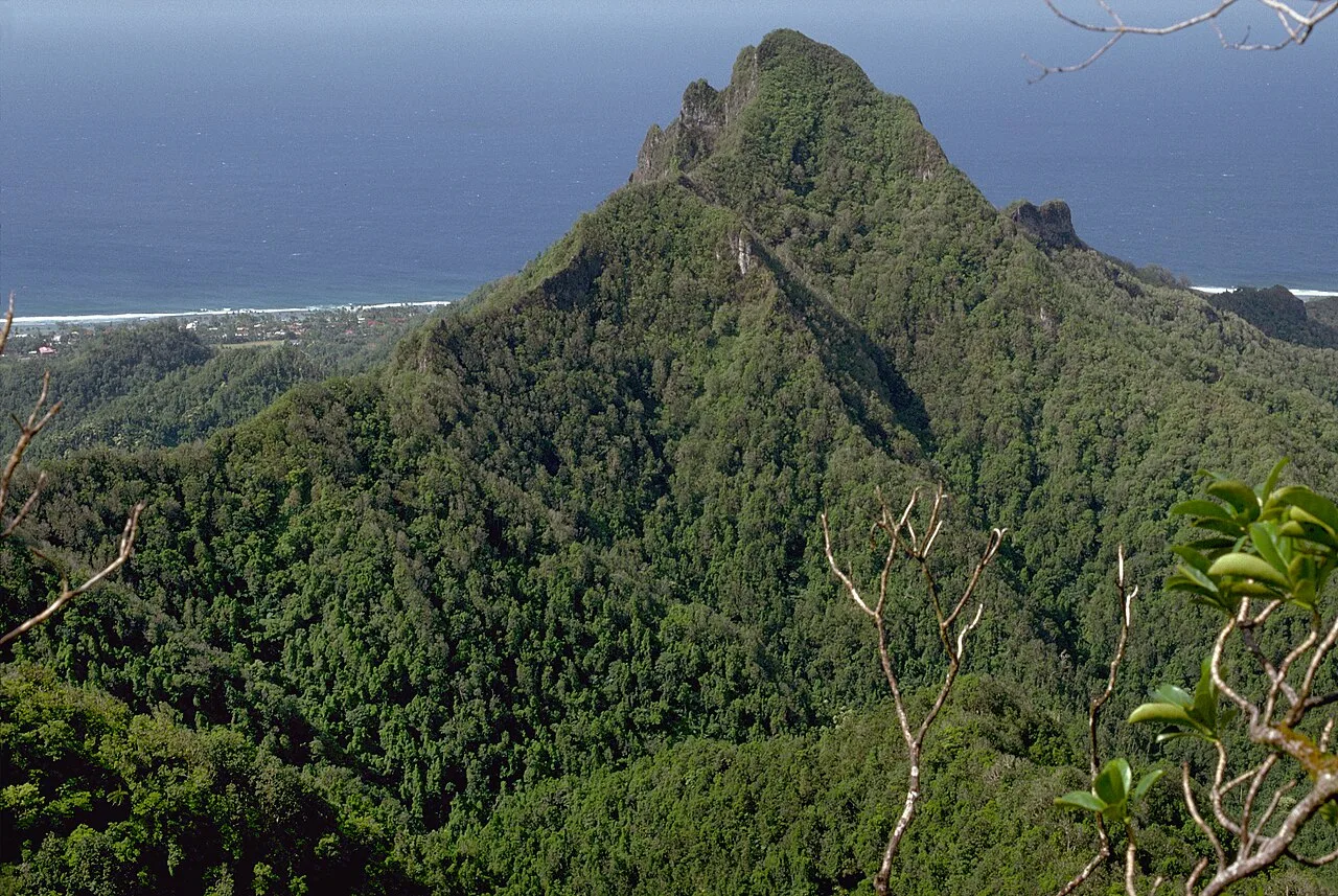
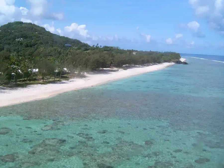
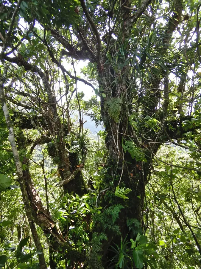
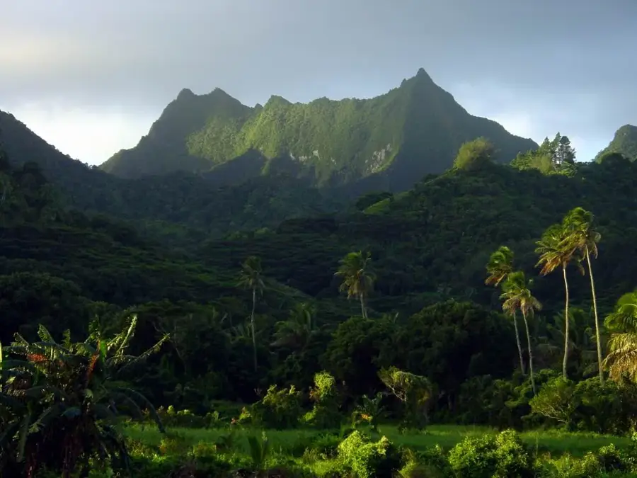
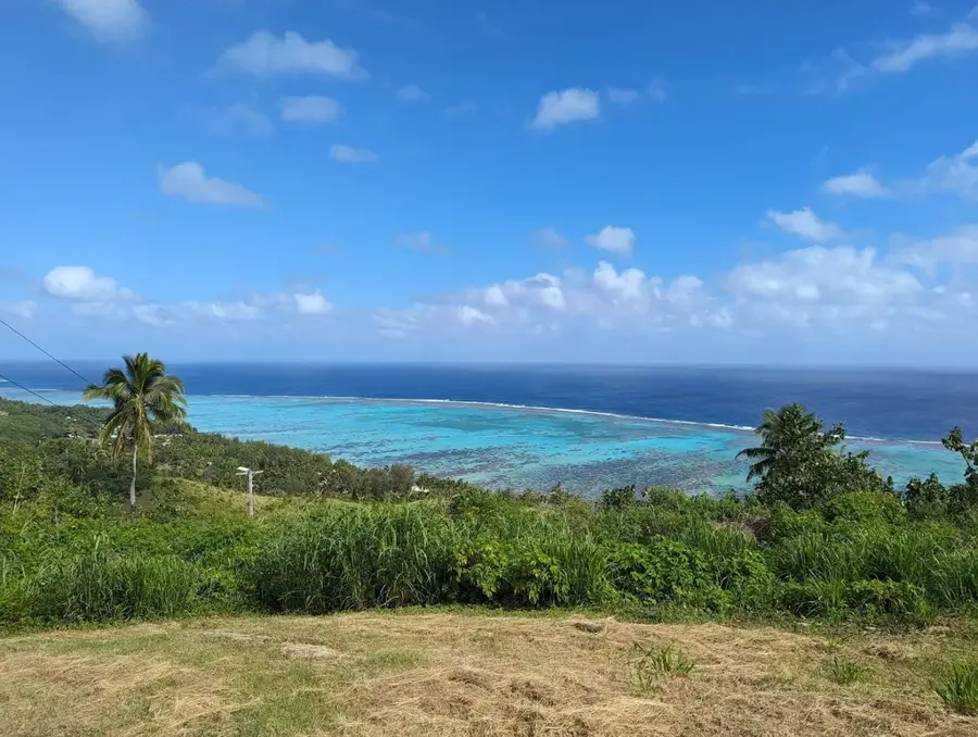
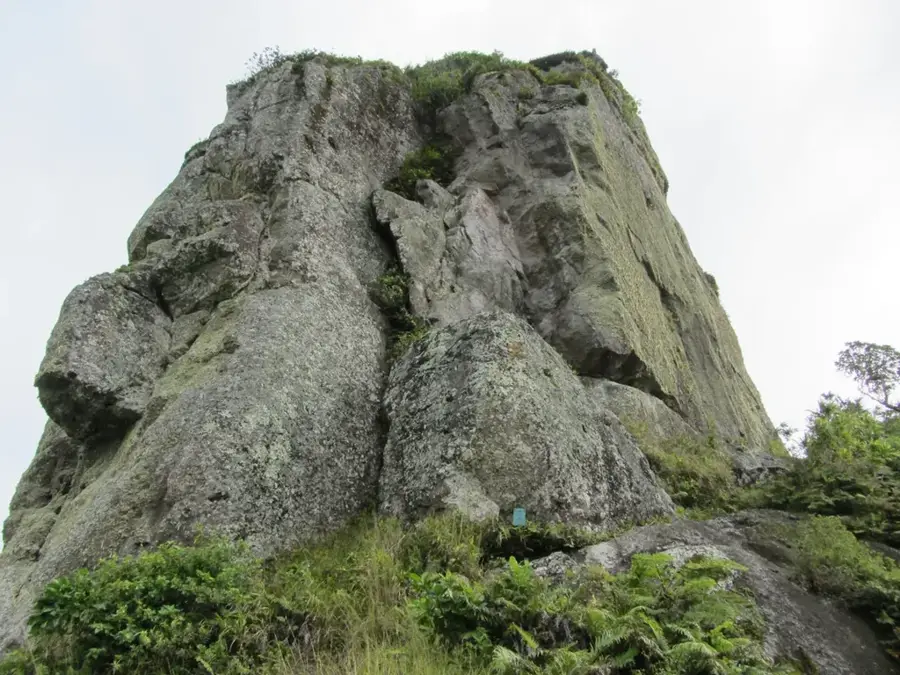
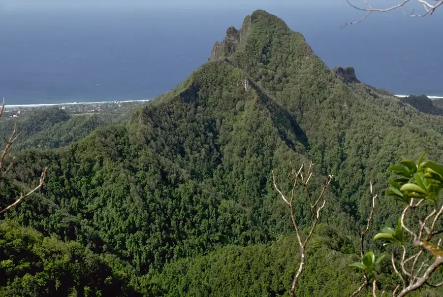
Te Atukura is a formidable peak rising to 638 meters in the rugged heart of Rarotonga, making it the third-highest point on the island. As an integral part of the Te Manga mountain massif, its serrated silhouette is a defining feature of the interior skyline. Reaching the summit of Te Atukura is considered one of the most demanding treks in the Cook Islands, requiring hikers to navigate nearly vertical slopes, slippery clay paths, and dense tropical rainforest. The peak is shrouded in a unique cloud forest environment that serves as a sanctuary for rare endemic flora and fauna, adapted to the cool, moist conditions of the high ridges. From the top, adventurers are rewarded with an awe-inspiring panorama of the island's jagged interior, the turquoise lagoons, and the vast expanse of the Pacific Ocean. It represents the raw, volcanic power that formed the island and remains a premier destination for those seeking to experience the untamed wilderness of Polynesia.
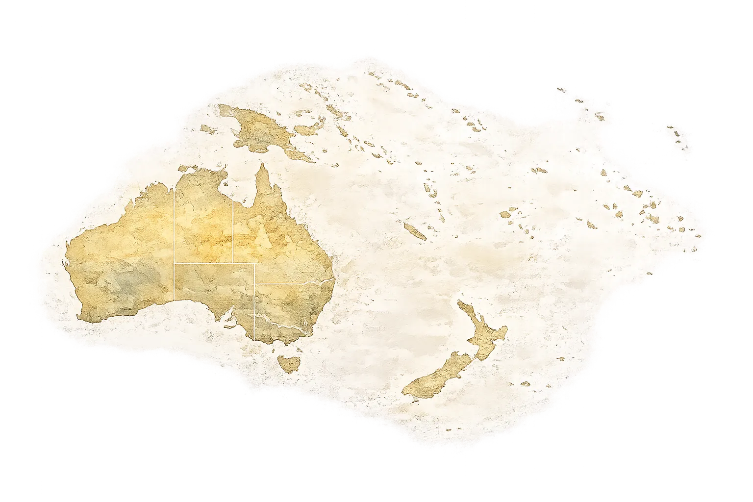
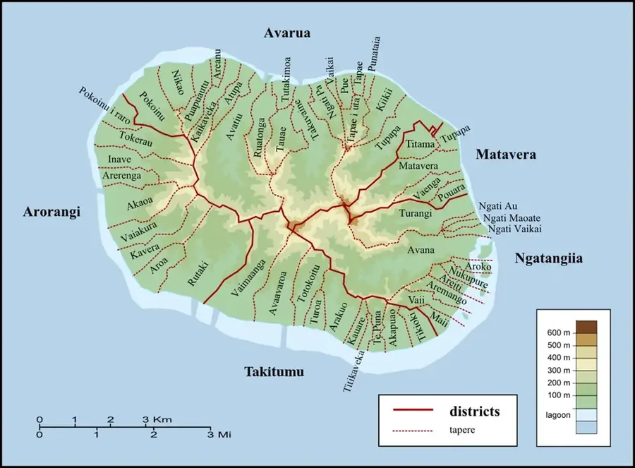
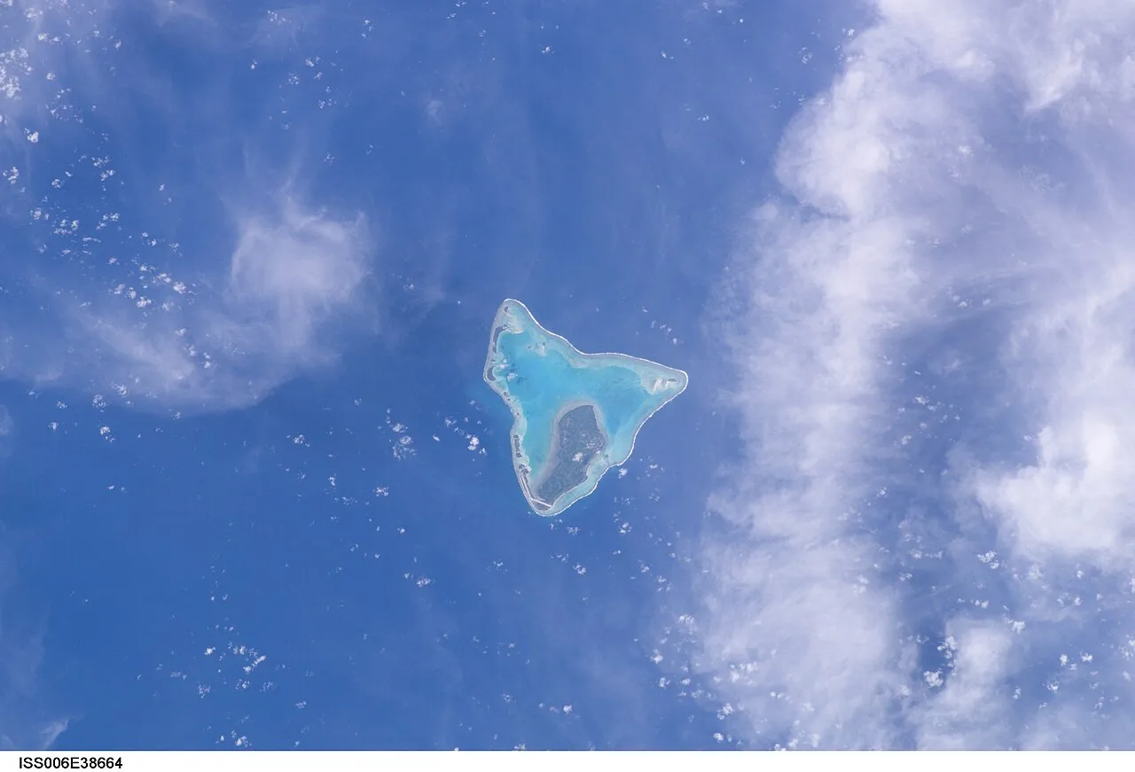
- Location: Cook Islands
- Top sights: Te Kou · Te Manga · Clear View
- Nearby: Ngatangiia (4 km)
Best time to visit & climate
The most pleasant time to visit is Jun–Aug.
| Jan | Feb | Mar | Apr | May | Jun | Jul | Aug | Sep | Oct | Nov | Dec | |
|---|---|---|---|---|---|---|---|---|---|---|---|---|
| Avg °C | 26 | 27 | 27 | 26 | 25 | 24 | 23 | 23 | 23 | 24 | 25 | 26 |
| Rain mm | 195 | 202 | 198 | 166 | 150 | 62 | 77 | 63 | 83 | 95 | 144 | 175 |
📋 Practical info
Geography
Facts
- Height: 623 m (disputed highest)
- Location: central massif
- Rock type: basalt
- Ascent time: 8+ hours
- Difficulty: extreme
- Name meaning: lighthouse
Explore nearby
Notable places around
Route planner — Car & Motorhome
Where do you start? We build the route here, with stops and country notes along the way.
© OpenStreetMap contributors · OpenRouteService
Sights in the town Te Atukura (7)
Good View of Needle
Viewpoint offering a good view of the Te Rua Manga rock needle.
Takitumu Conservation Area
Nature reserve on the southeastern coast of Rarotonga.
Maungatea
Maungatea is a mountain in the Cook Islands, a volcanic peak.
Sights nearby
Frequently asked questions
Is Te Atukura the highest mountain in Rarotonga?
Is there a marked hiking trail?
How high is the summit?
What is the terrain like?
Can you do the trek alone?
Te Atukura: where is it located?
Te Atukura: what is there to see?
Te Atukura: when is the best time to visit?
Te Atukura: why is it worth visiting?
Nearby cities

History & landmarks
Nature

More places