Plizio Visual Lab
Djoue River
Weather…
Water temperature…
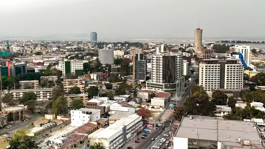
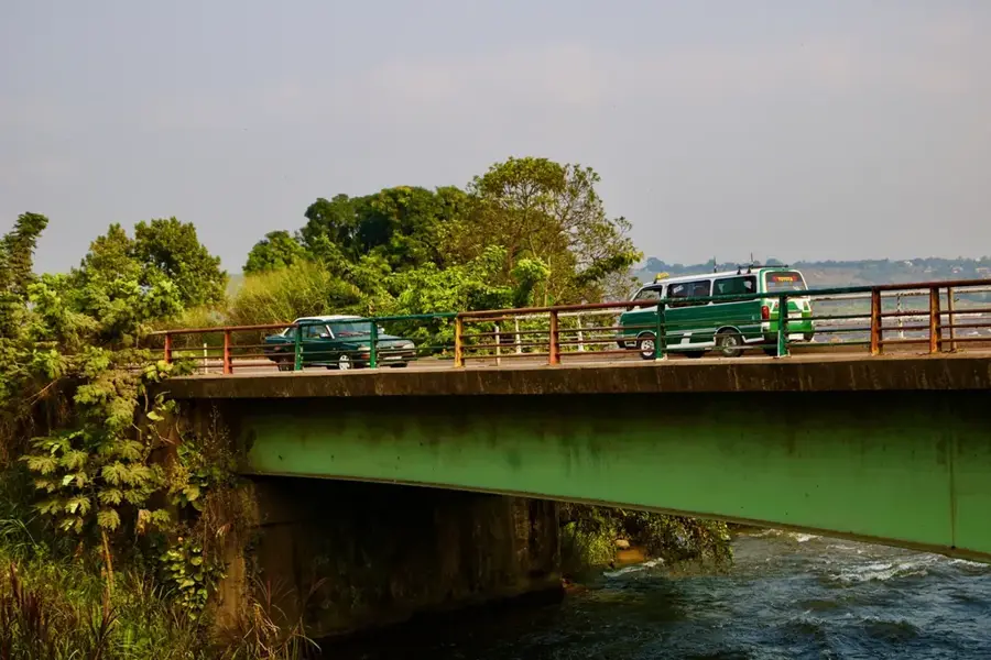
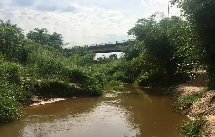
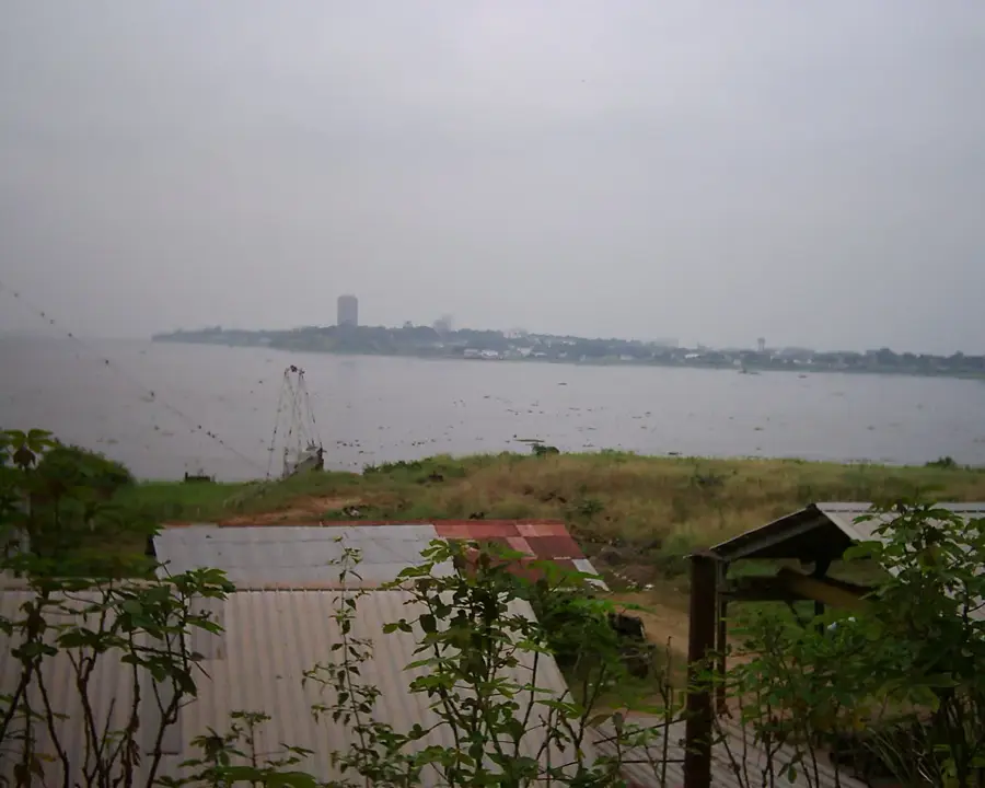
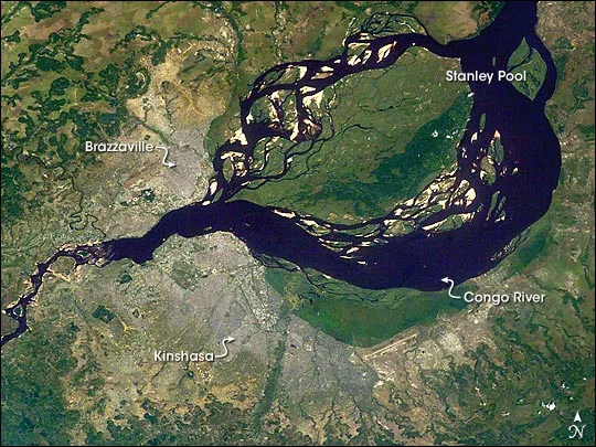
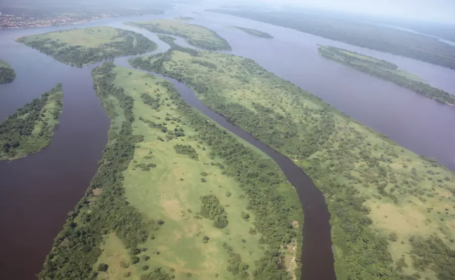
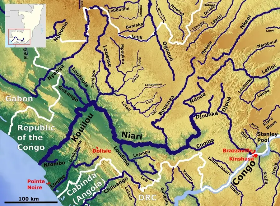
The Djoué River is a prominent waterway in the Republic of the Congo and a significant right-bank tributary of the Congo River, joining it near the capital, Brazzaville. Originating in the central plateaus, the river flows through rugged terrain, creating various rapids and rocky sections along its course. It is most famous for the Djoué Rapids near its confluence, which offer a dramatic landscape of churning water and ancient rock formations. Historically and economically, the river is vital due to the Djoué Dam, commissioned in 1953 as the nation's first hydroelectric power plant to supply Brazzaville with electricity. The riverbanks feature a mix of gallery forest and rocky outcrops, hosting a variety of local flora and avian species. Despite its proximity to the growing urban center, portions of the river maintain their natural integrity and are popular for recreation and artisanal fishing. The Djoué continues to be a cornerstone of the regional geography and a testament to the early industrial development of the Congo's energy sector.
- Location: Congo - Brazzaville
- Top sights: Madibou · Livingstone Falls · Makélékélé
- Nearby: Loufoulakari Falls (37 km)
Best time to visit & climate
The most pleasant time to visit is Jun–Aug.
| Jan | Feb | Mar | Apr | May | Jun | Jul | Aug | Sep | Oct | Nov | Dec | |
|---|---|---|---|---|---|---|---|---|---|---|---|---|
| Avg °C | 25 | 26 | 26 | 26 | 25 | 24 | 24 | 25 | 26 | 26 | 25 | 25 |
| Rain mm | 166 | 165 | 207 | 207 | 149 | 14 | 3 | 13 | 57 | 176 | 278 | 249 |
📋 Practical info
Geography
Facts
- The Djoué River meets the Congo River at a point marked by significant rapids.
- The Djoué hydroelectric dam began operations in 1953 to power the capital city.
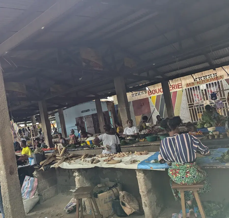
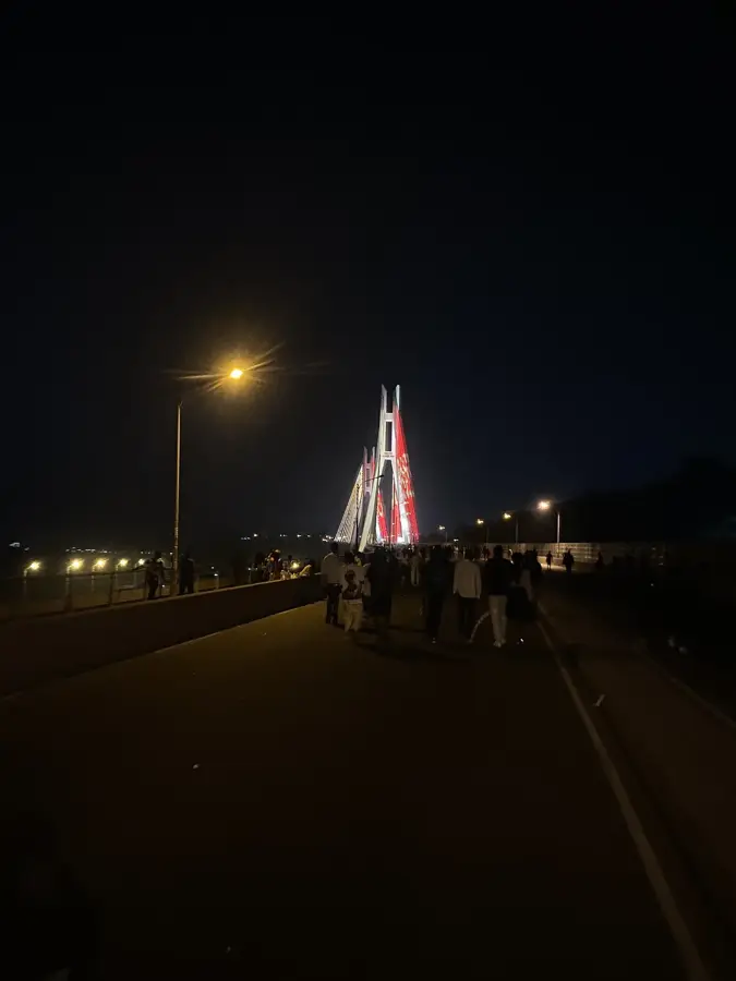
- The river's rocky landscape is a popular weekend destination for Brazzaville residents.
- It serves as a natural boundary for several southern districts of the capital.
- The confluence area is characterized by large, smooth granite boulders.
- The river basin is part of the larger Congo River drainage system in Central Africa.
Explore nearby
Notable places around
Route planner — Car & Motorhome
Where do you start? We build the route here, with stops and country notes along the way.
© OpenStreetMap contributors · OpenRouteService
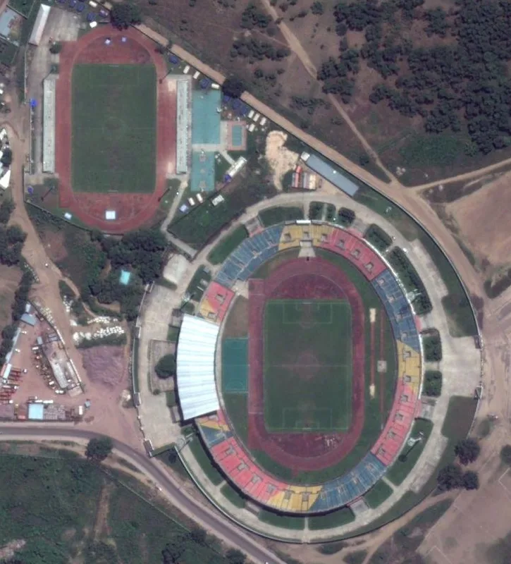
Sights in the town Djoue River (3)
Sights nearby
Frequently asked questions
Where does the Djoué flow into?
Can you see rapids there?
Are there recreational activities at the river?
Is the river navigable?
How is the water quality?
Djoue River: where is it located?
Djoue River: what is there to see?
Djoue River: when is the best time to visit?
Djoue River: why is it worth visiting?

Nearby cities
History & landmarks
Nature

More places