Plizio Visual Lab
Mount Habakari
Weather…
Water temperature…
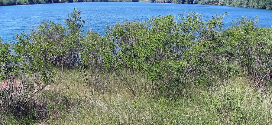
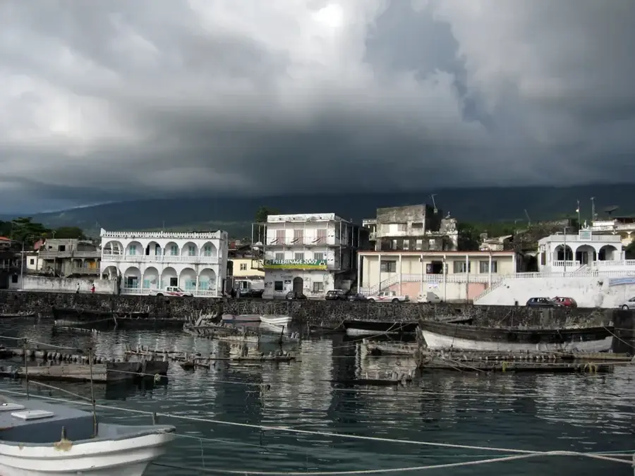
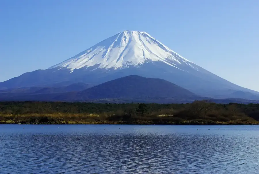
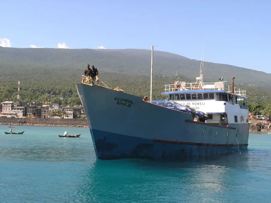
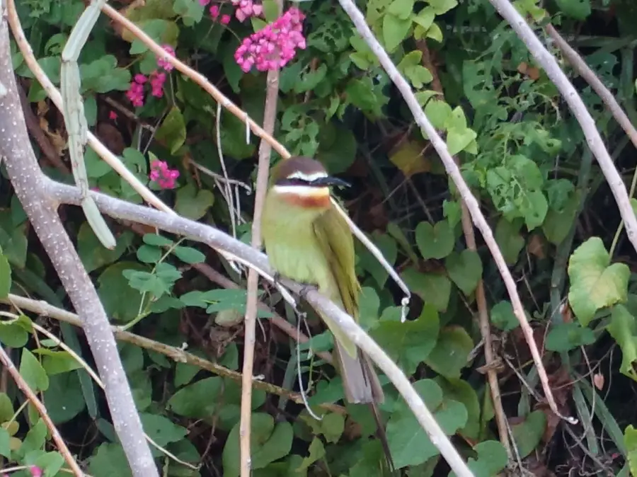
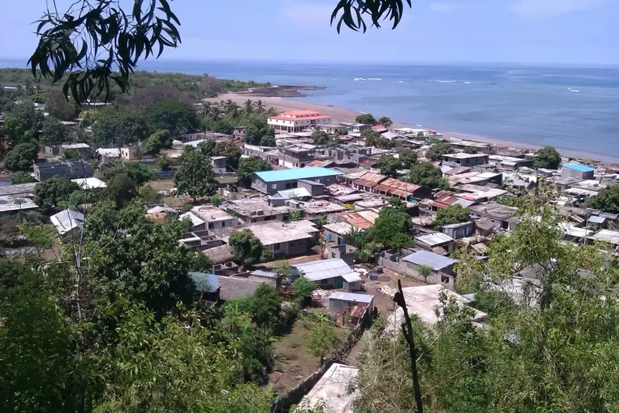
Mount Habakari, standing at an elevation of approximately 790 meters, is the highest peak on Mohéli island in the Comoros archipelago. This mountain forms the topographic backbone of the smallest of the three main islands and is blanketed in dense tropical rainforest. The region is of outstanding ecological significance as it hosts numerous endemic plant and animal species, including the Mohéli white-eye. Geologically, the mountain is composed of volcanic rocks that have been sculpted by erosion over millions of years, leading to a highly rugged relief. Precipitation levels on Mount Habakari are significantly higher than in coastal areas due to orographic lift, making it a vital water catchment area for the island. Numerous streams originate from the mountain slopes, irrigating agricultural lands in the lower-lying valleys. For hikers, the ascent to the summit provides insights into pristine ecosystems that are protected as part of the Mohéli National Park. The preservation of these montane forests is critical for safeguarding biodiversity and ensuring the sustainable water supply for the local population.
Best time to visit & climate
The most pleasant time to visit is Feb, Mar, Dec.
| Jan | Feb | Mar | Apr | May | Jun | Jul | Aug | Sep | Oct | Nov | Dec | |
|---|---|---|---|---|---|---|---|---|---|---|---|---|
| Avg °C | 10 | 11 | 10 | 10 | 9 | 8 | 8 | 7 | 7 | 8 | 9 | 10 |
| Rain mm | 88 | 65 | 87 | 88 | 114 | 104 | 95 | 92 | 81 | 65 | 59 | 68 |
📋 Practical info
Geography
Facts
- Mount Habakari is the highest point on Mohéli island, reaching 790 meters.
- The mountain is located within the Mohéli National Park, established in 2001.
- Annual precipitation at the summit often exceeds 3,000 millimeters.
- It is home to the endemic Mohéli white-eye bird (Zosterops mouliensis).
- The geological structure consists of basaltic lava flows from the Pliocene epoch.
- From the summit, the neighboring islands of Anjouan and Grande Comore are visible on clear days.
Explore nearby
Notable places around
Route planner — Car & Motorhome
Where do you start? We build the route here, with stops and country notes along the way.
© OpenStreetMap contributors · OpenRouteService
Sights nearby
Frequently asked questions
How high is Mount Habakari?
How difficult is the climb?
Are there marked hiking trails?
What can you see from the summit?
When should you start the tour?
Mount Habakari: where is it located?
Mount Habakari: when is the best time to visit?
Mount Habakari: why is it worth visiting?

Nearby cities


History & landmarks

Nature

More places