Plizio Visual Lab
Hamboda Plateau

Weather…
Water temperature…
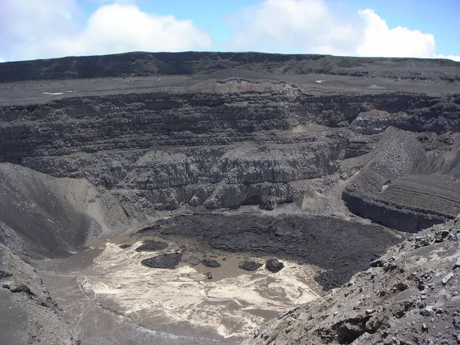
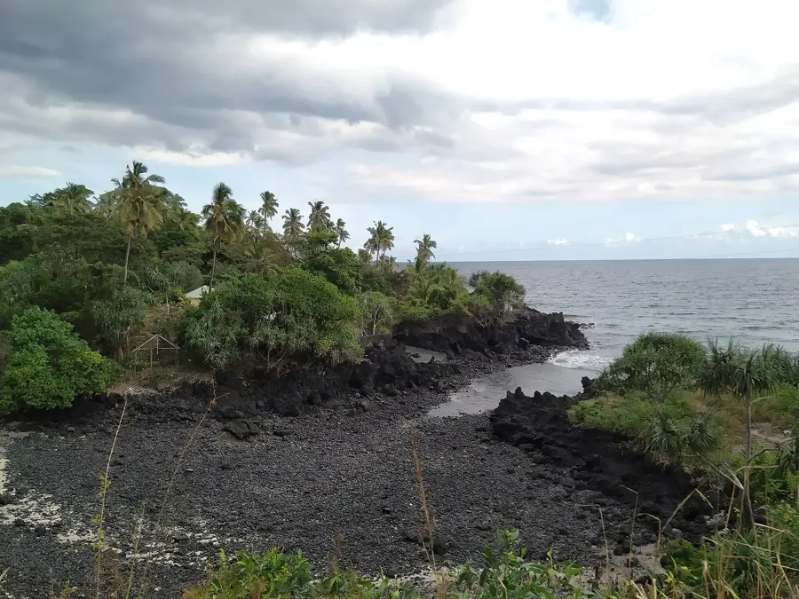
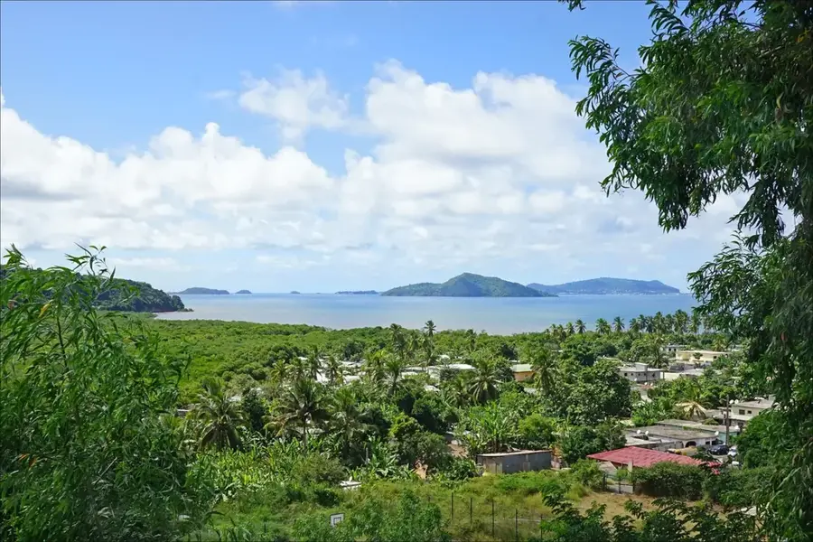
The Hamboda Plateau is an expansive upland area located in the central and southern reaches of Anjouan Island, offering a distinct contrast to the island's otherwise jagged volcanic peaks. Formed by ancient, thick sequences of lava flows that have leveled out over time, the plateau features a rolling topography with deep, fertile soils. This high-altitude region serves as one of Anjouan's most critical agricultural zones, where a cooler and more humid climate allows for the successful cultivation of root crops, legumes, and tropical fruits. The plateau often experiences orographic rainfall and persistent mists, which sustain the lush greenery and replenish the groundwater reserves that feed the island's many permanent streams. Historically, the Hamboda Plateau has been home to resilient farming communities that utilize traditional land management techniques to prevent erosion on its undulating surface. The open landscape provides sweeping views across the southern coastline and is a preferred route for inland travel between mountain villages. As a vital natural reservoir and food source, the plateau is central to the ecological and economic stability of Anjouan, embodying the island's unique blend of volcanic power and agricultural richness.
Best time to visit & climate
The most pleasant time to visit is Jan, Feb, Dec.
| Jan | Feb | Mar | Apr | May | Jun | Jul | Aug | Sep | Oct | Nov | Dec | |
|---|---|---|---|---|---|---|---|---|---|---|---|---|
| Avg °C | 10 | 10 | 10 | 10 | 9 | 8 | 8 | 7 | 7 | 8 | 8 | 10 |
| Rain mm | 84 | 67 | 88 | 88 | 113 | 106 | 95 | 94 | 82 | 66 | 63 | 71 |
📋 Practical info
Geography
Facts
- Hamboda Plateau is situated in the south-central part of Anjouan.
- Its average elevation ranges from 400 to 600 meters.
- The plateau was formed by extensive, ancient volcanic lava sheets.
- It is a primary production area for cassava and sweet potatoes.
- Persistent mountain mists contribute to its high soil moisture.
- The area acts as a key drainage basin for southern Anjouan rivers.
Explore nearby
Notable places around
Route planner — Car & Motorhome
Where do you start? We build the route here, with stops and country notes along the way.
© OpenStreetMap contributors · OpenRouteService
Sights nearby
Frequently asked questions
What is the Hamboda Plateau?
Can you hike on the plateau?
Do I need a guide?
What flora and fauna are there?
How is the weather on the plateau?
Hamboda Plateau: where is it located?
Hamboda Plateau: when is the best time to visit?
Hamboda Plateau: why is it worth visiting?

Nearby cities
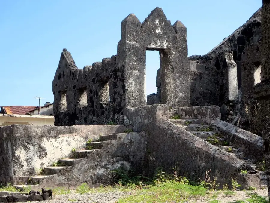


History & landmarks
More places