Plizio Visual Lab
Pointe de Bangoi

Weather…
Water temperature…
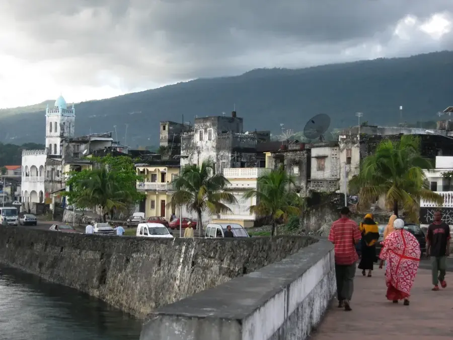
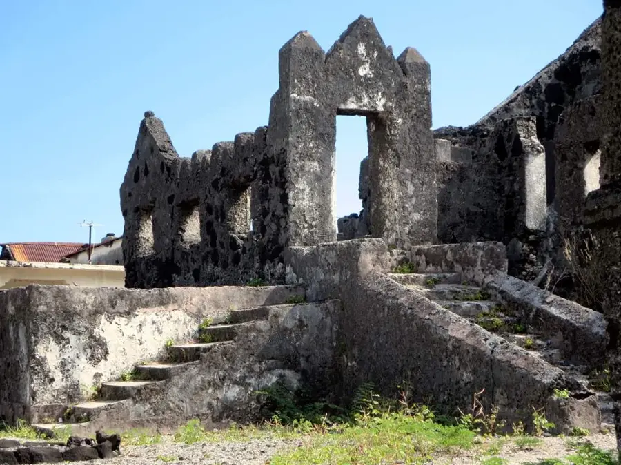
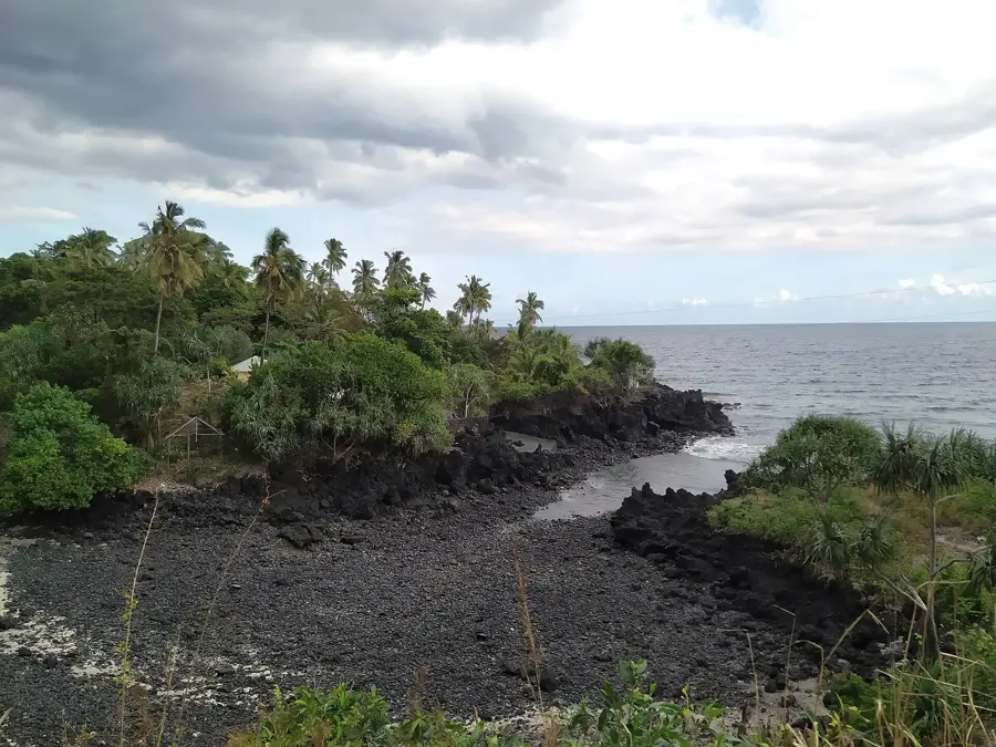
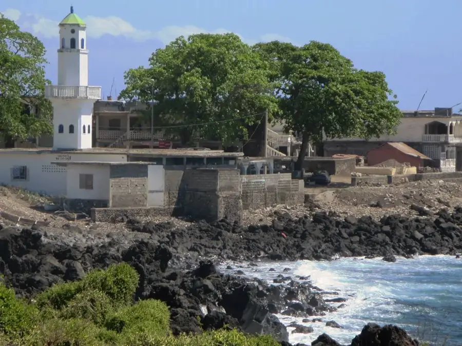
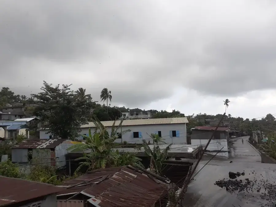
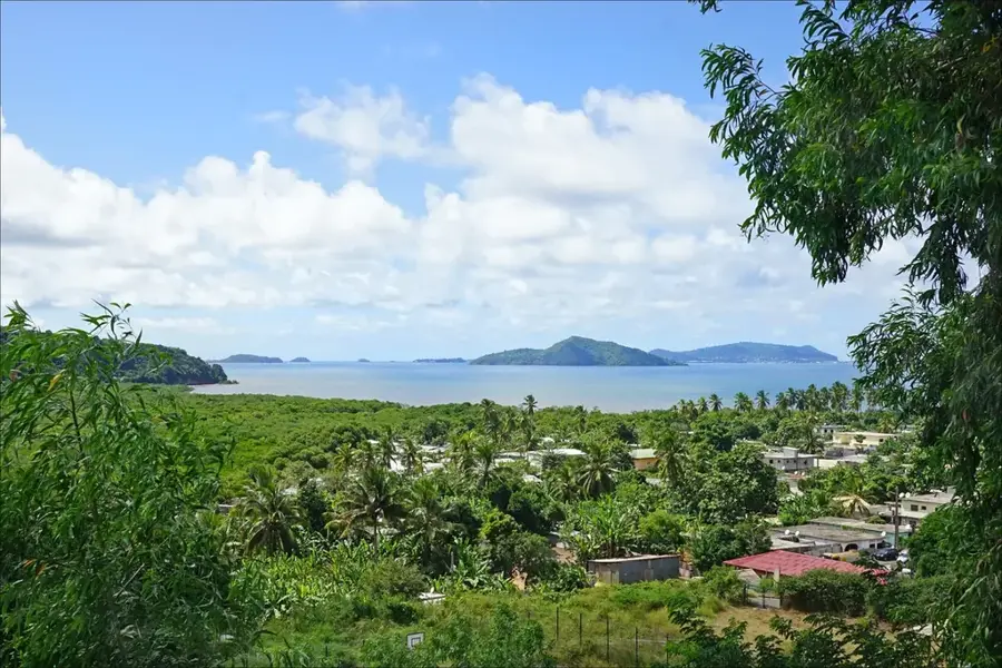
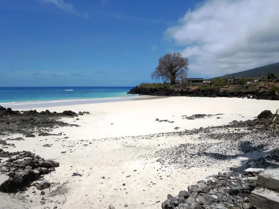
Pointe de Bangoi marks the northernmost tip of Grande Comore island and serves as a prominent geographic landmark within the Comoros archipelago. This headland is characterized by its rugged volcanic rock formations, which are direct evidence of the island's dynamic geological formation. The nearby village of Bangoi Kouni is well-known for its traditional architecture and coastal fishing practices. The coastline here is particularly exposed, offering expansive views over the Indian Ocean while the maritime climate dictates the local growth of hardy vegetation. Historically, this point served as a vital navigational aid for mariners traveling along the East African coastal routes. The geological composition primarily consists of dark basaltic rock, shaped during historical eruptions of the nearby Mount Karthala volcano. Today, the area is a destination for nature-oriented hikers focusing on the pristine volcanic coastal landscape and its unique geomorphology. The strategic location of Pointe de Bangoi remains significant for the maritime boundary definitions of the Comorian state.
Best time to visit & climate
The most pleasant time to visit is Jan, Feb, Dec.
| Jan | Feb | Mar | Apr | May | Jun | Jul | Aug | Sep | Oct | Nov | Dec | |
|---|---|---|---|---|---|---|---|---|---|---|---|---|
| Avg °C | 10 | 10 | 10 | 10 | 9 | 8 | 8 | 7 | 7 | 8 | 8 | 9 |
| Rain mm | 84 | 67 | 88 | 91 | 116 | 108 | 96 | 95 | 83 | 68 | 64 | 72 |
📋 Practical info
Geography
Facts
- Pointe de Bangoi is the northernmost geographic point of Grande Comore island.
- The region is characterized by dark basaltic rocks of volcanic origin.
- The nearby village of Bangoi Kouni sits at an elevation of about 15 meters above sea level.
- The coastline serves as a navigation landmark for shipping in the Indian Ocean.
- The area belongs administratively to the Mitsamiouli-Mboudé prefecture.
- Hiking trails connect the surrounding settlements directly to the cliffs of the headland.
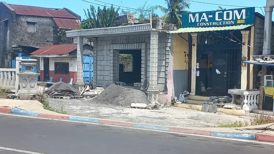
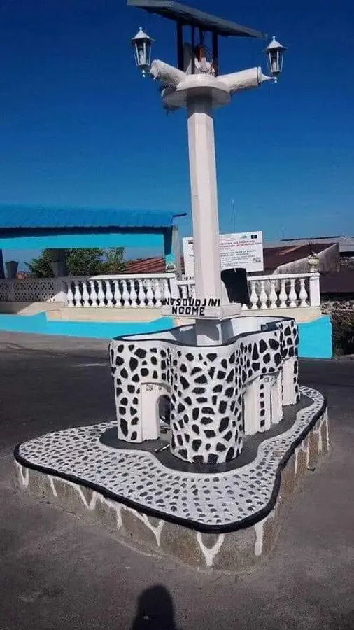
Explore nearby
Notable places around
Route planner — Car & Motorhome
Where do you start? We build the route here, with stops and country notes along the way.
© OpenStreetMap contributors · OpenRouteService
Sights nearby
Frequently asked questions
Where is Pointe de Bangoi located?
What makes this place special?
Can you swim there?
Is the place suitable for families?
How do you reach the headland?
Pointe de Bangoi: where is it located?
Pointe de Bangoi: when is the best time to visit?
Pointe de Bangoi: why is it worth visiting?

Nearby cities
History & landmarks
More places