Plizio Visual Lab
Nevado del Tolima
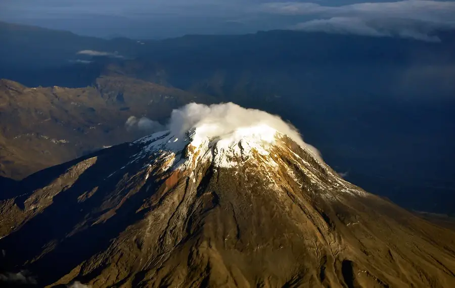
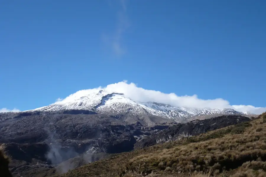
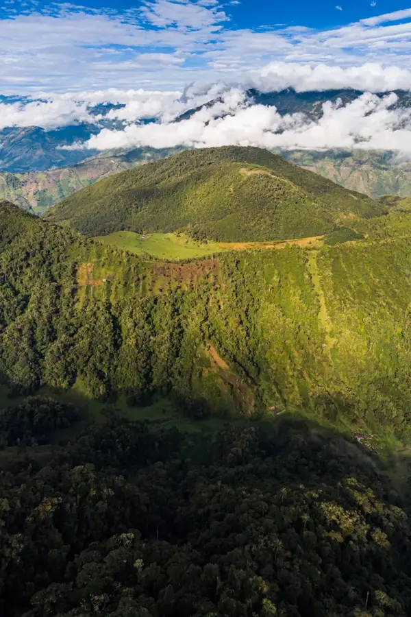
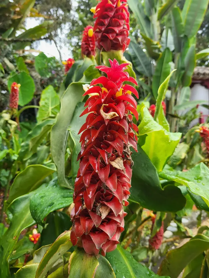
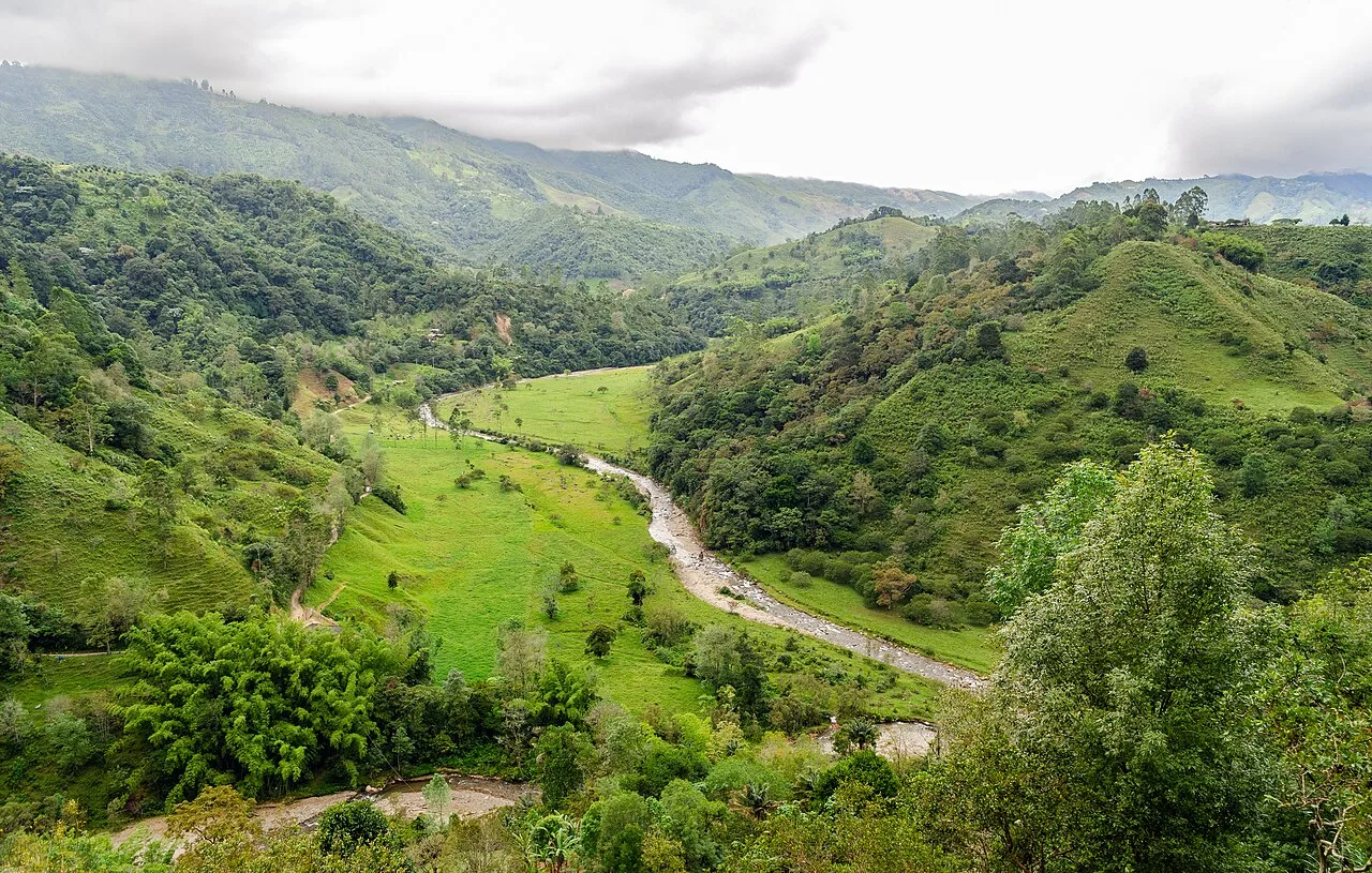
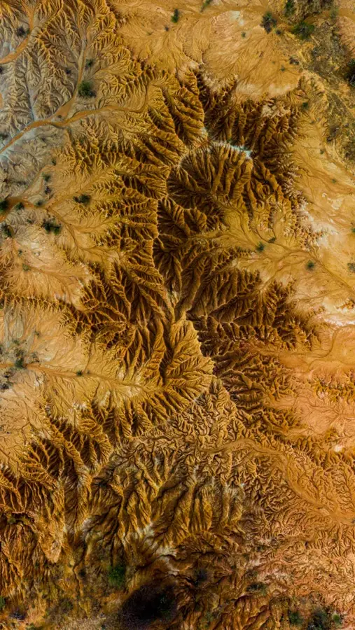
Nevado del Tolima is an imposing stratovolcano in the Central Cordillera of Colombia, reaching an elevation of 5,215 meters. Its nearly excellent conical shape makes it one of the most aesthetically pleasing mountains in the country and a landmark of the Tolima region. Located within the Los Nevados National Natural Park, the volcano was formed over the last 40,000 years through successive eruptive events. The summit crater has a diameter of approximately 200 meters and contains a small glacier, which is steadily retreating due to global warming trends. Historical records indicate volcanic activity during the 19th century, and it is currently classified as dormant but potentially hazardous. Climbing Tolima is considered technically challenging for mountaineers, involving a trek through various ecological zones, including cloud forests and high-altitude paramo. Furthermore, the mountain serves as a crucial water source for the city of Ibagué and surrounding agricultural activities.
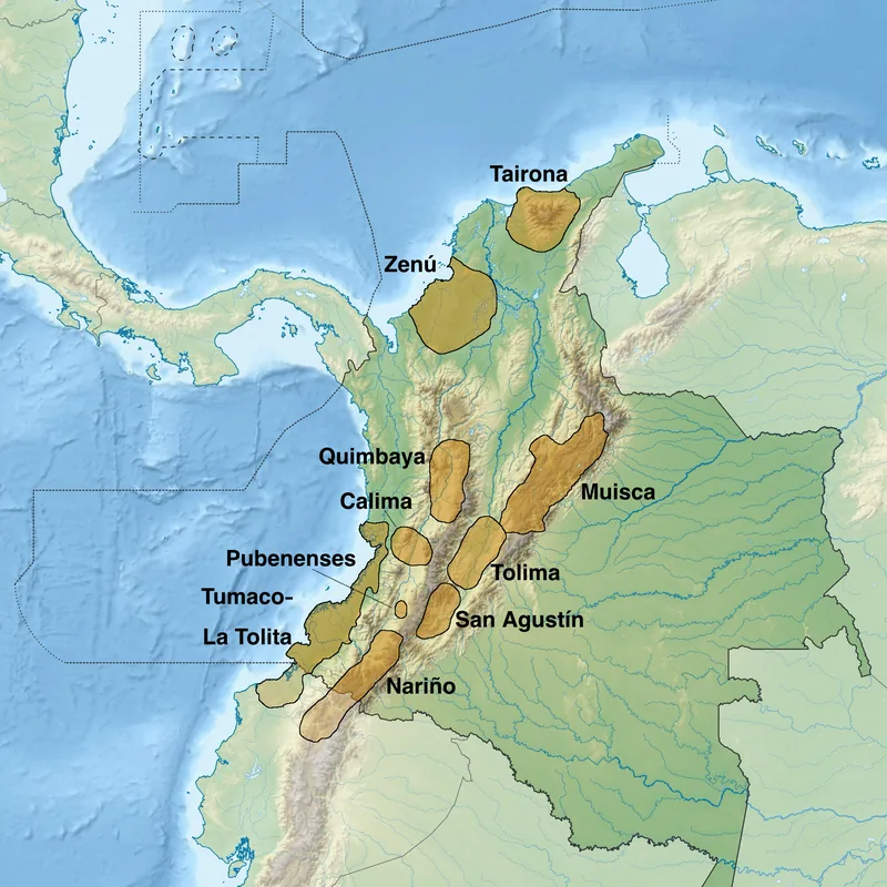
- Location: Colombia
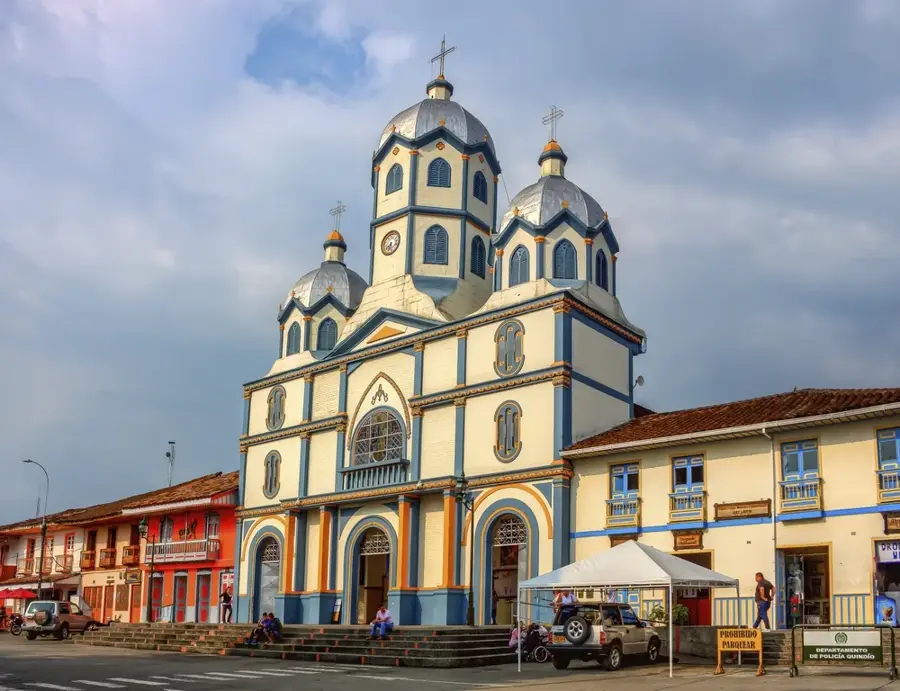
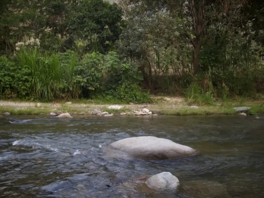
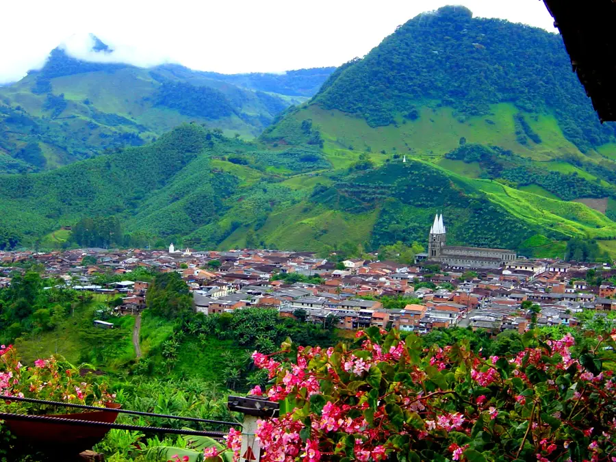
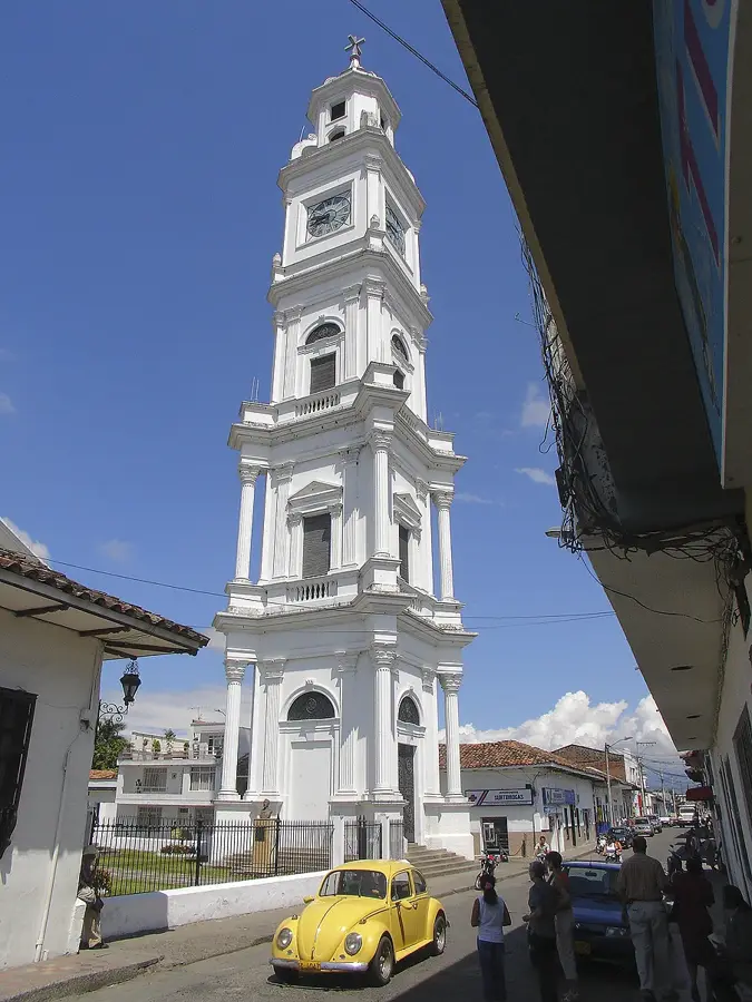
- Top sights: Cañón del Rio Combeima · El Rancho Hot Spring Bath Pools · Mirador
- Nearby: Termales de Santa Rosa de Cabal (33 km)
Best time to visit & climate
The most pleasant time to visit is Jan, Feb, Aug.
| Jan | Feb | Mar | Apr | May | Jun | Jul | Aug | Sep | Oct | Nov | Dec | |
|---|---|---|---|---|---|---|---|---|---|---|---|---|
| Avg °C | 15 | 16 | 16 | 16 | 15 | 15 | 15 | 15 | 15 | 15 | 15 | 15 |
| Rain mm | 87 | 104 | 145 | 193 | 168 | 113 | 90 | 92 | 110 | 194 | 191 | 146 |
📋 Practical info
Geography
Facts
- Elevation of 5,215 meters
- Nearly perfect symmetrical cone shape
- Last major eruption occurred approx. 3,600 years ago
- Summit crater diameter of 200 meters
- Located inside Los Nevados National Natural Park
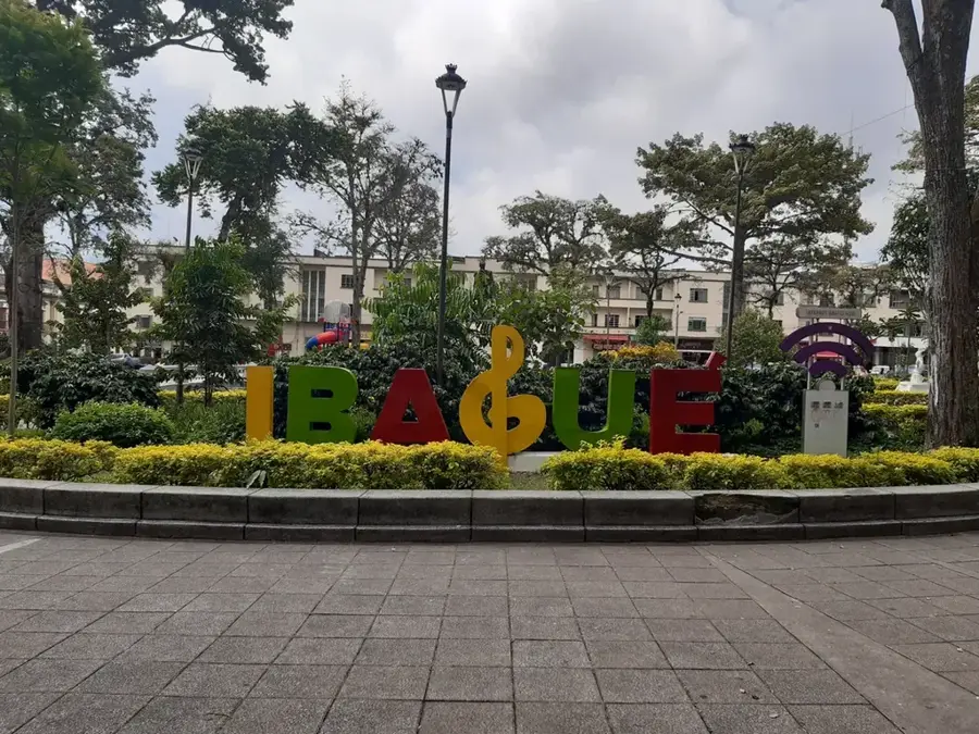
- Essential water source for the city of Ibagué
Explore nearby
Notable places around
Route planner — Car & Motorhome
Where do you start? We build the route here, with stops and country notes along the way.
© OpenStreetMap contributors · OpenRouteService
Sights in the town Nevado del Tolima (6)
Sights nearby
Frequently asked questions
What does Tolima look like?
Can you go hiking there?
Where does the tour start?
How high is it?
Are there paramos there?
Nevado del Tolima: where is it located?
Nevado del Tolima: what is there to see?
Nevado del Tolima: when is the best time to visit?
Nevado del Tolima: why is it worth visiting?

Nearby cities

History & landmarks
More places