Plizio Visual Lab
Nevado del Ruiz
Weather…
Water temperature…
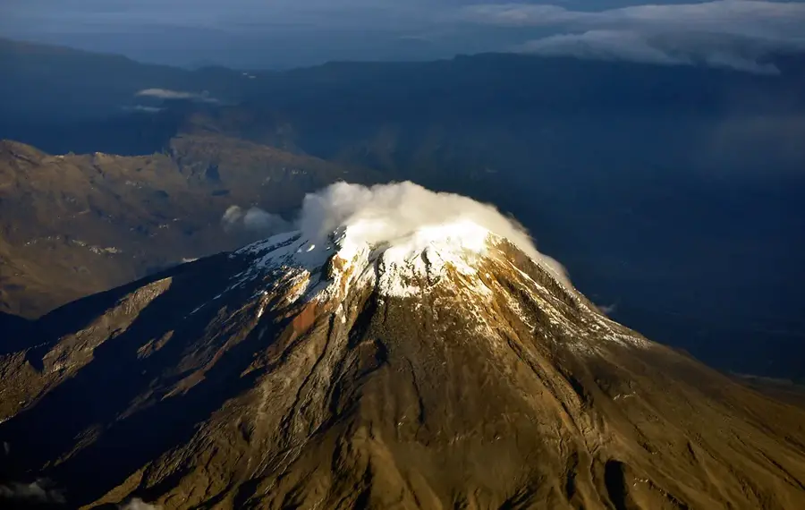
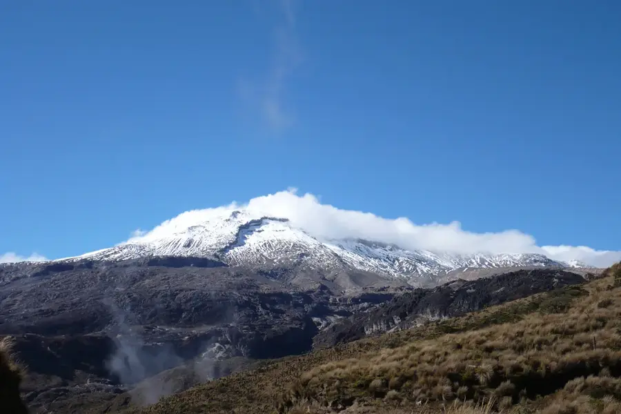
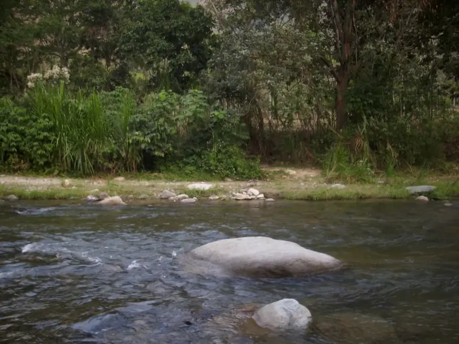
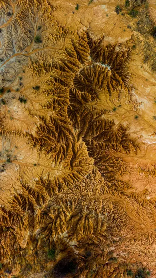
Nevado del Ruiz is an active stratovolcano located in the Caldas Department of Colombia, reaching an elevation of 5,321 meters. It is part of the Los Nevados National Natural Park and is characterized by its broad, ice-covered summit. The volcano is constructed from layers of lava, ash, and pyroclastic flows accumulated over thousands of years. It gained international notoriety following the catastrophic eruption on November 13, 1985, when massive mudflows known as lahars decimated the town of Armero. This event claimed over 23,000 lives and remains one of the deadliest volcanic disasters of the 20th century. Despite the persistent volcanic threat, the area is a vital site for scientific research in glaciology and volcanology. Currently, the mountain is among the most heavily monitored volcanoes in the world to mitigate future risks. The ongoing recession of its summit glacier is also raising concerns regarding the water supply for the surrounding agricultural regions.
- Location: Colombia
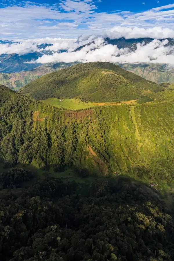
- Top sights: Mirador del Ruiz · Mirador 4157m · Cerro Gualí
- Nearby: Termales de Santa Rosa de Cabal (33 km)
Best time to visit & climate
The most pleasant time to visit is Jan, Feb, Jul.
| Jan | Feb | Mar | Apr | May | Jun | Jul | Aug | Sep | Oct | Nov | Dec | |
|---|---|---|---|---|---|---|---|---|---|---|---|---|
| Avg °C | 16 | 17 | 17 | 16 | 16 | 16 | 16 | 16 | 16 | 16 | 16 | 16 |
| Rain mm | 113 | 118 | 161 | 217 | 202 | 146 | 130 | 142 | 150 | 221 | 215 | 173 |
📋 Practical info
Geography
Facts
- Elevation of 5,321 meters
- 1985 eruption destroyed the town of Armero
- Part of Los Nevados National Natural Park
- Volcano type: Active stratovolcano
- Lahars reached speeds of up to 60 km/h
- Glacial ice has decreased by 60% since 1985
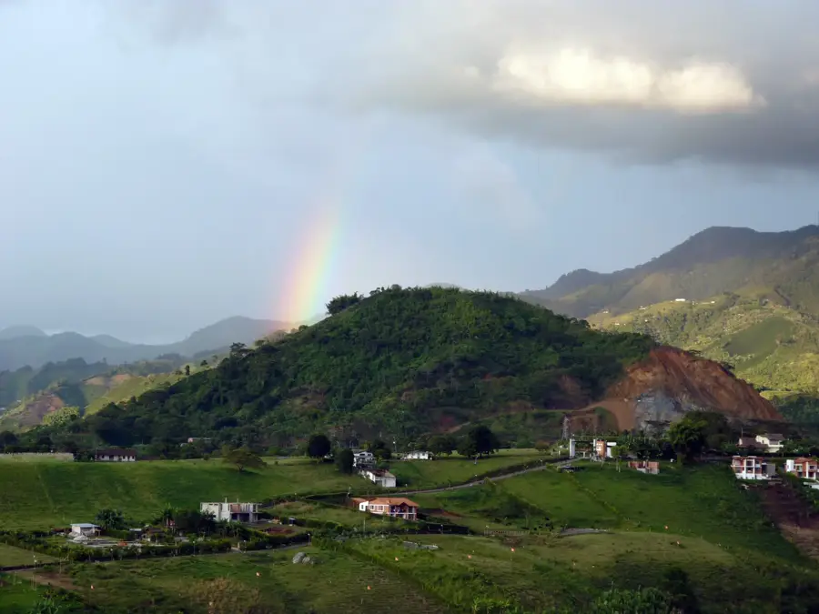
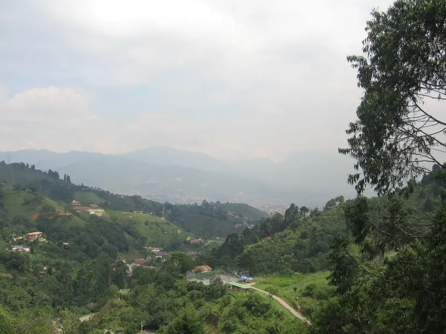
Explore nearby
Notable places around
Route planner — Car & Motorhome
Where do you start? We build the route here, with stops and country notes along the way.
© OpenStreetMap contributors · OpenRouteService
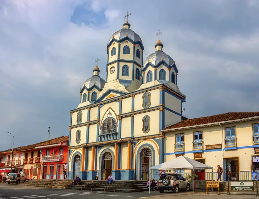
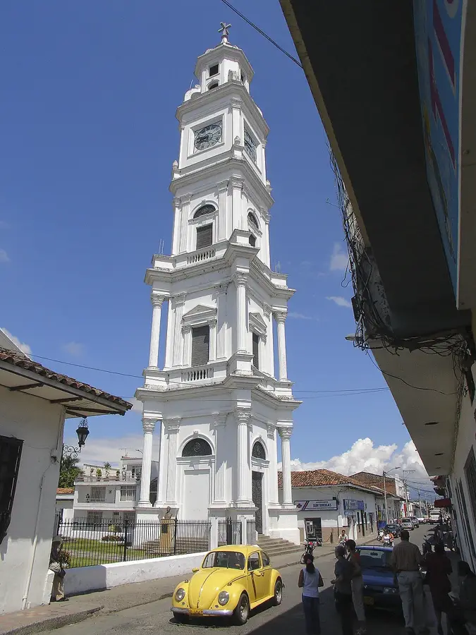
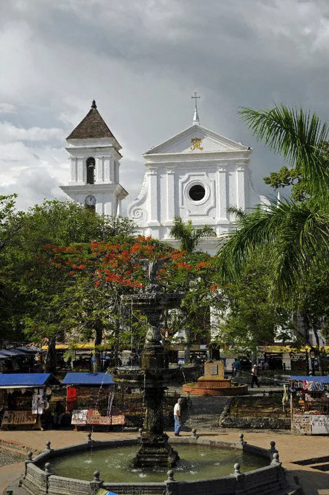
Sights in the town Nevado del Ruiz (4)
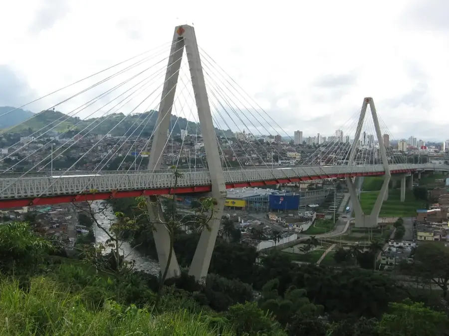
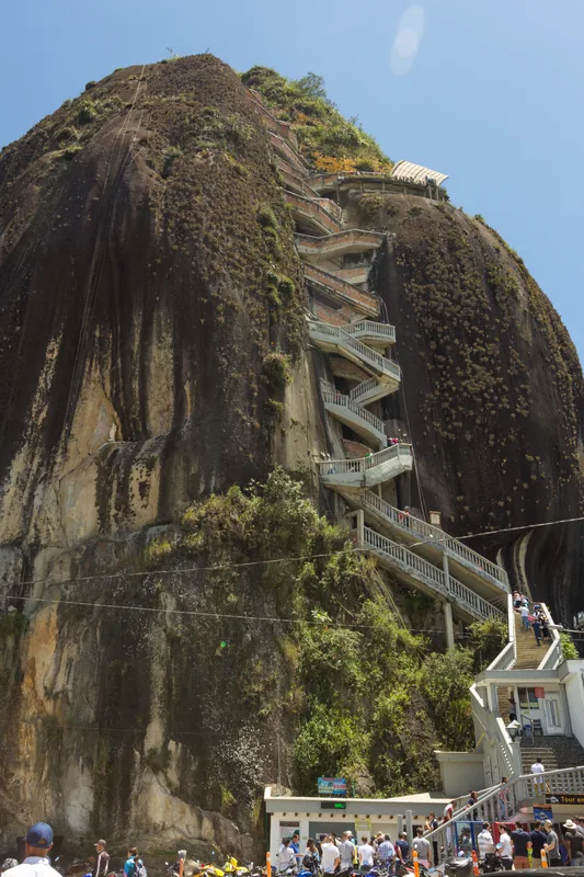
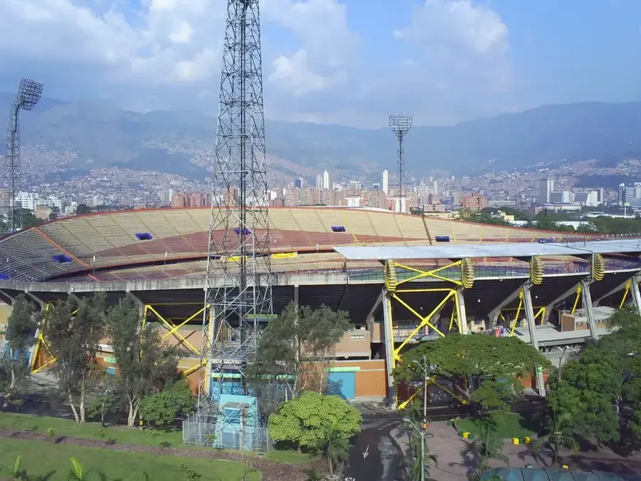
Sights nearby
Frequently asked questions
Is the volcano still active?
What happened in 1985?
Can you visit the national park?
Are there hot springs?
How high is the mountain?
Nevado del Ruiz: where is it located?
Nevado del Ruiz: what is there to see?
Nevado del Ruiz: when is the best time to visit?
Nevado del Ruiz: why is it worth visiting?

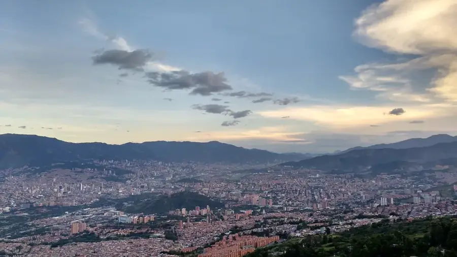
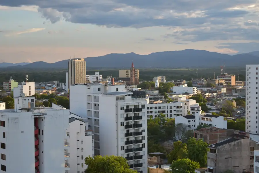
Nearby cities
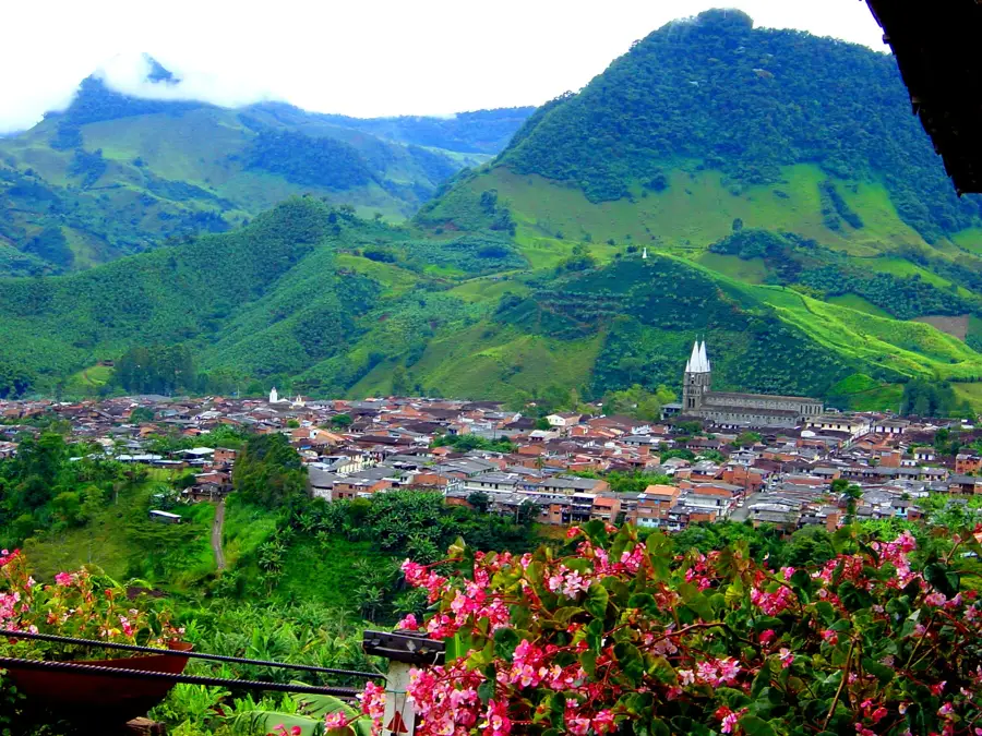

History & landmarks
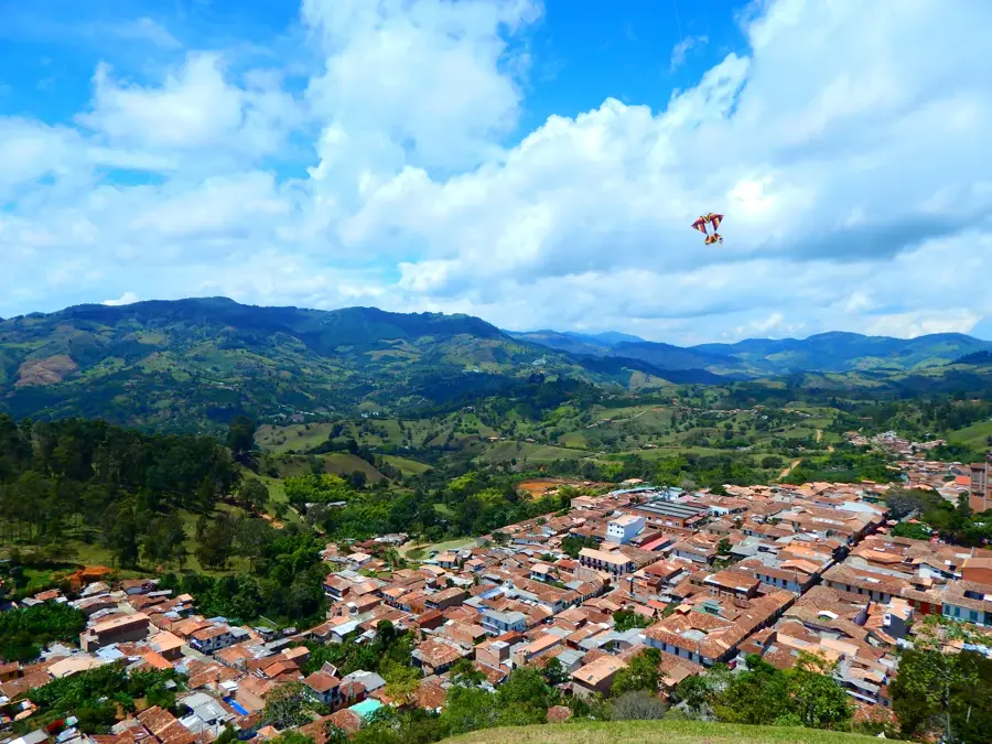
More places