Plizio Visual Lab
Cueva de los Guácharos
Weather…
Water temperature…
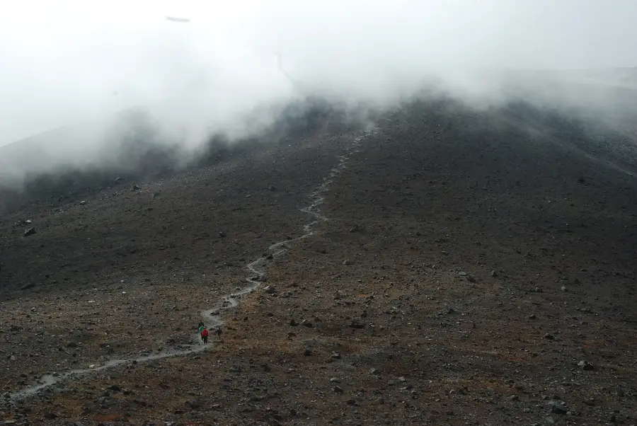
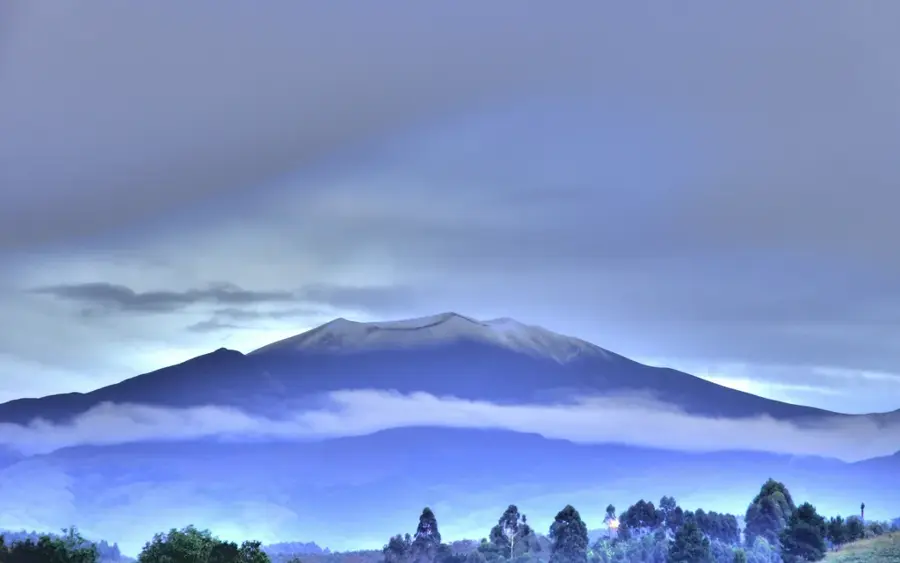
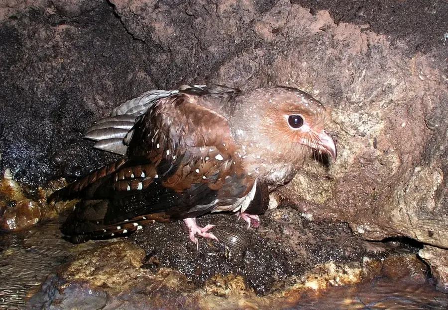
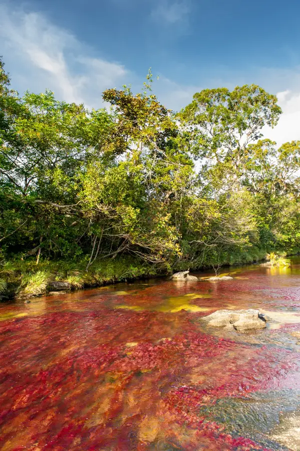
Cueva de los Guácharos National Park was established on November 9, 1960, making it Colombia's oldest protected area. Spanning approximately 9,000 hectares across the Huila and Caquetá departments, it is located on the slopes of the Cordillera Oriental. The park is named after the Guácharo or oilbird (Steatornis caripensis), a unique nocturnal bird that nests in the region's vast limestone cave systems. These birds play a crucial ecological role by dispersing seeds from the fatty fruits they consume throughout the forest. Beyond its namesake avian residents, the park provides a habitat for endangered species such as the spectacled bear and the mountain tapir. Geologically, the area is characterized by its karst landscape, featuring deep canyons and intricate cave formations carved by the Suaza River. Protecting the local watershed is vital for maintaining the ecological corridors between the Amazon basin and the Andean highlands. Today, the park serves as a key site for biological research and eco-tourism, allowing visitors to explore the intersection of subterranean and cloud forest environments.
- Location: Colombia
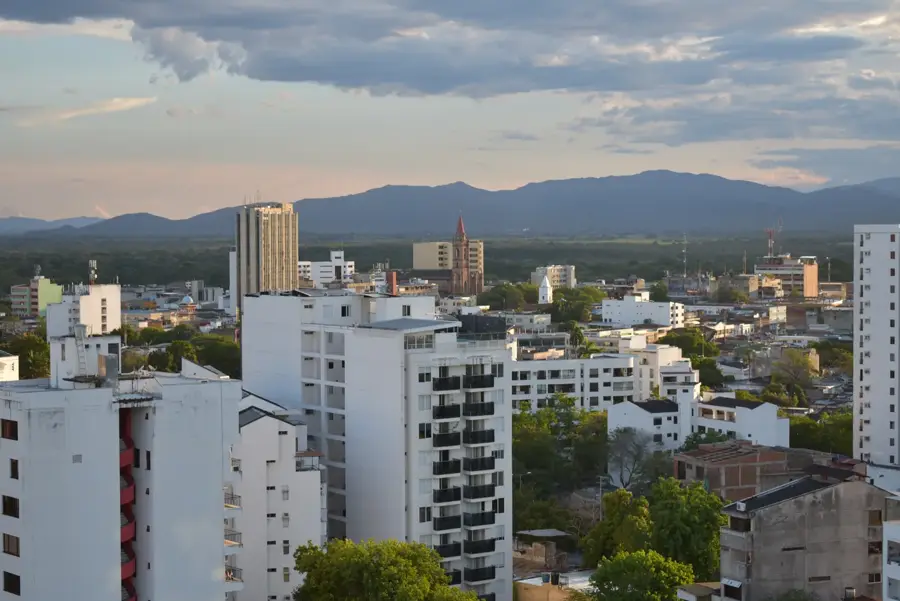
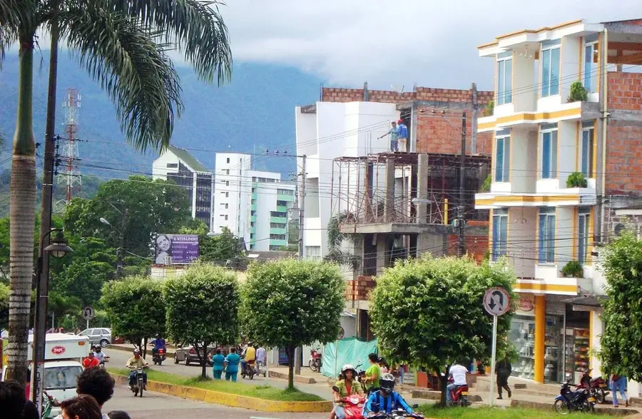
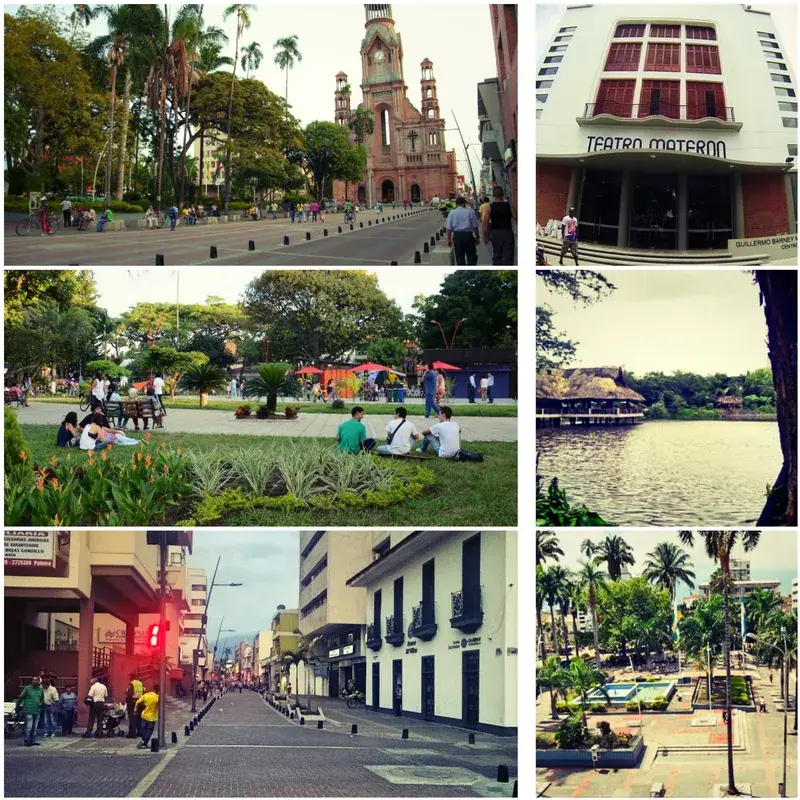
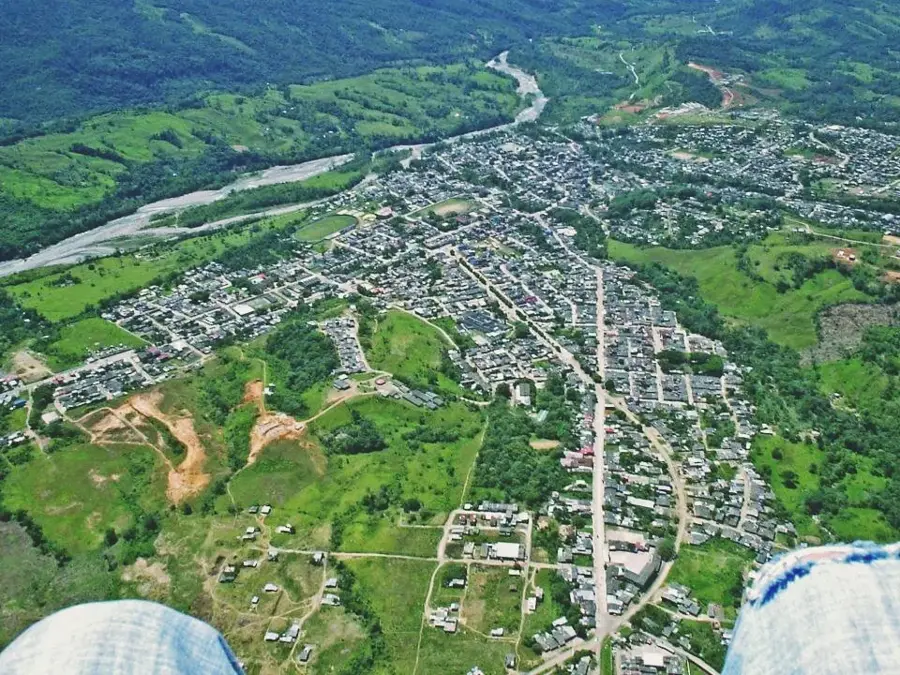
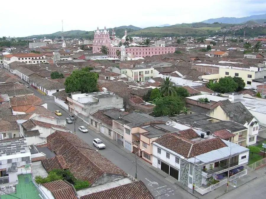
- Nearby: Pitalito (9 km)
Best time to visit & climate
The most pleasant time to visit is Jan, Aug, Sep.
| Jan | Feb | Mar | Apr | May | Jun | Jul | Aug | Sep | Oct | Nov | Dec | |
|---|---|---|---|---|---|---|---|---|---|---|---|---|
| Avg °C | 20 | 20 | 20 | 19 | 19 | 18 | 18 | 19 | 20 | 20 | 19 | 19 |
| Rain mm | 88 | 97 | 133 | 151 | 131 | 100 | 69 | 52 | 68 | 136 | 175 | 129 |
📋 Practical info
Geography
Facts
- Established on November 9, 1960, as Colombia's first national park.
- The park covers a total area of approximately 9,000 hectares.
- Elevation ranges from 1,650 to 2,800 meters above sea level.
- Home to the Oilbird, the world's only nocturnal fruit-eating bird.
- The cave formations were created by the erosion of the Suaza River.
- Protects vital cloud forest ecosystems in the Huila and Caquetá regions.
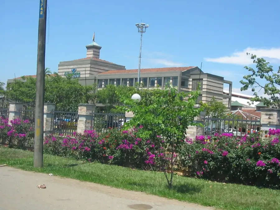
Explore nearby
Notable places around
Route planner — Car & Motorhome
Where do you start? We build the route here, with stops and country notes along the way.
© OpenStreetMap contributors · OpenRouteService
Sights nearby
Frequently asked questions
Where is this national park located?
What is a 'Guácharo'?
Is the hike demanding?
Must you visit the caves?
When is the best time to visit?
Cueva de los Guácharos: where is it located?
Cueva de los Guácharos: when is the best time to visit?
Cueva de los Guácharos: why is it worth visiting?

Nearby cities
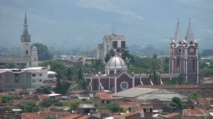
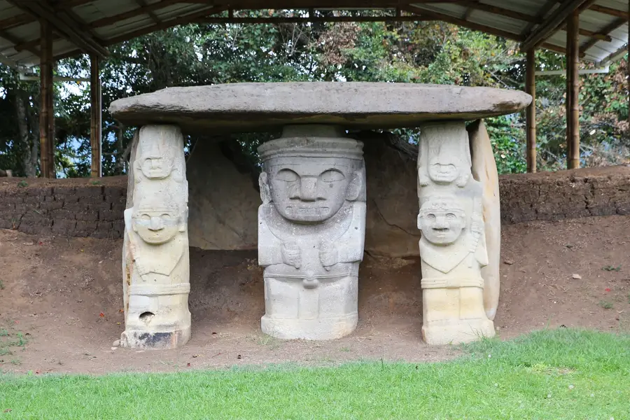
History & landmarks

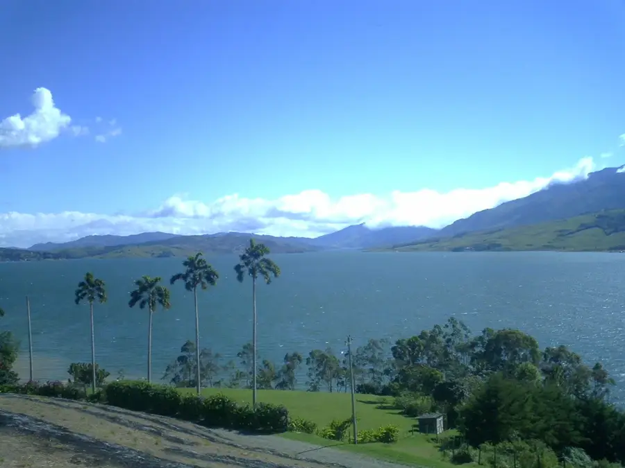
Nature
More places