Plizio Visual Lab
Colombian Massif
Weather…
Water temperature…
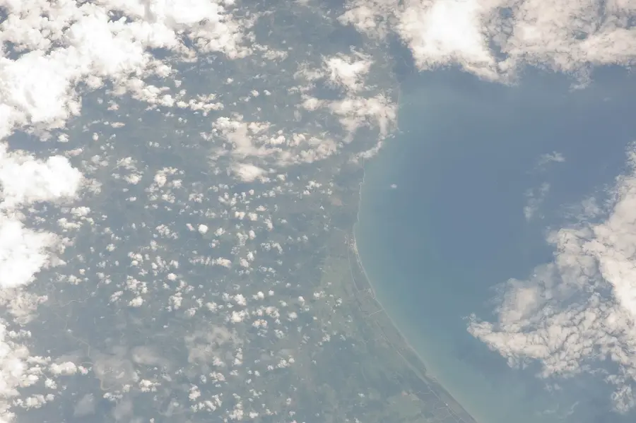
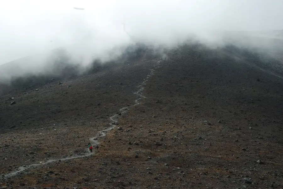
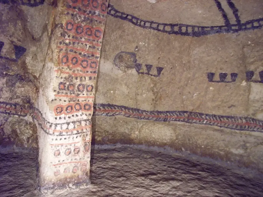
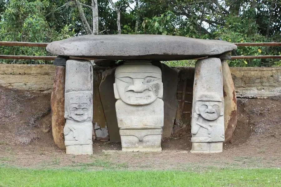
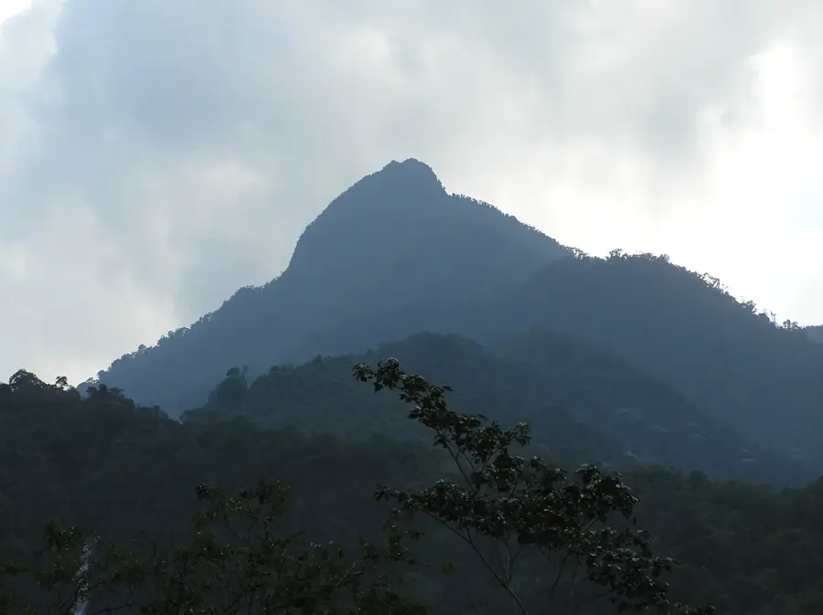
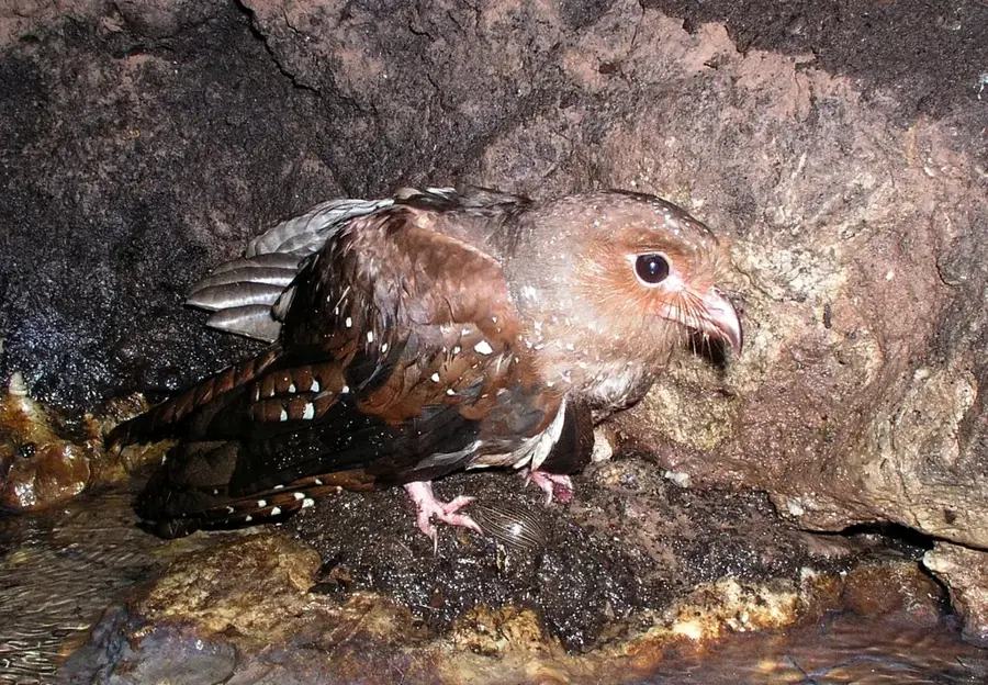
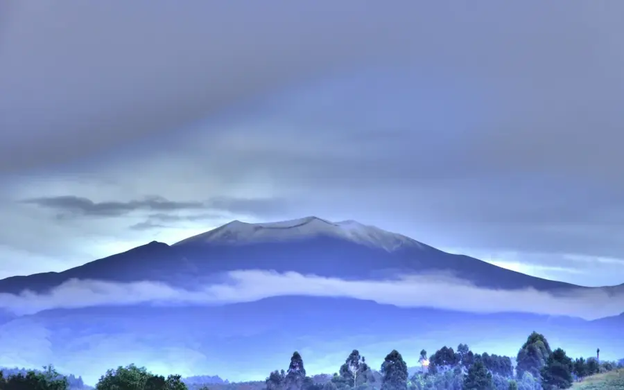
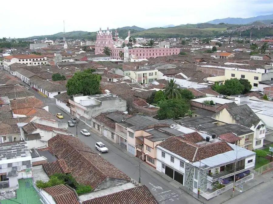
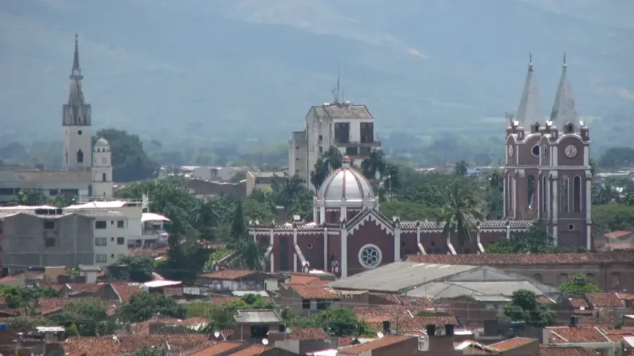
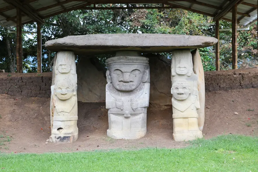
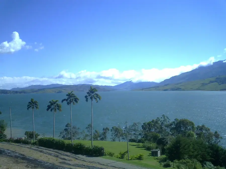
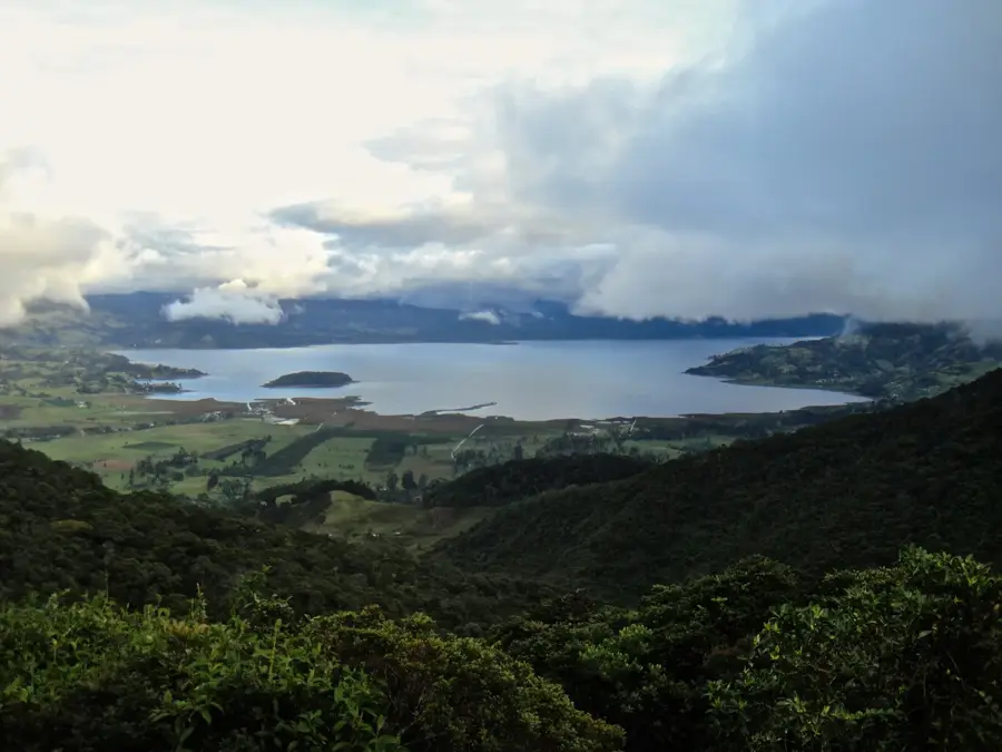
The Colombian Massif, also known as the 'Estrella Fluvial' (Fluvial Star), is a major mountain knot in the southern Andes of Colombia, where the three main mountain ranges branch off. It is considered the most important water source in the country, as four of Colombia's largest rivers originate here: the Magdalena, the Cauca, the Patía, and the Caquetá. This region spans the departments of Cauca, Huila, and Nariño and is characterized by a wild, untouched landscape with paramo ecosystems and dense cloud forests. Due to its exceptional biodiversity and ecological significance, it was declared a Biosphere Reserve by UNESCO. The massif is home to the Puracé National Park, famous for its eponymous active volcano and sulfur springs. Besides its ecological function, the region is of great archaeological importance, as the San Agustín site with its prehistoric stone statues is located nearby. The massif plays a crucial role in water supply and energy generation for much of Colombia and is a sacred territory for several indigenous communities that have lived there in harmony with nature for centuries.
- Location: Colombia
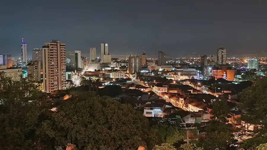
- Nearby: Jamundí (38 km)
Best time to visit & climate
The most pleasant time to visit is Jan, Aug, Sep.
| Jan | Feb | Mar | Apr | May | Jun | Jul | Aug | Sep | Oct | Nov | Dec | |
|---|---|---|---|---|---|---|---|---|---|---|---|---|
| Avg °C | 16 | 16 | 16 | 16 | 15 | 15 | 15 | 15 | 16 | 16 | 16 | 16 |
| Rain mm | 72 | 81 | 117 | 138 | 113 | 72 | 48 | 34 | 53 | 126 | 166 | 114 |
📋 Practical info
Geography
Facts
- Source of the Magdalena and Cauca rivers
- Known as the 'Estrella Fluvial' (Fluvial Star)
- UNESCO Biosphere Reserve since 1979
- Hosts the Puracé National Park
- Most important water reservoir in the country
- Near the San Agustín archaeological site
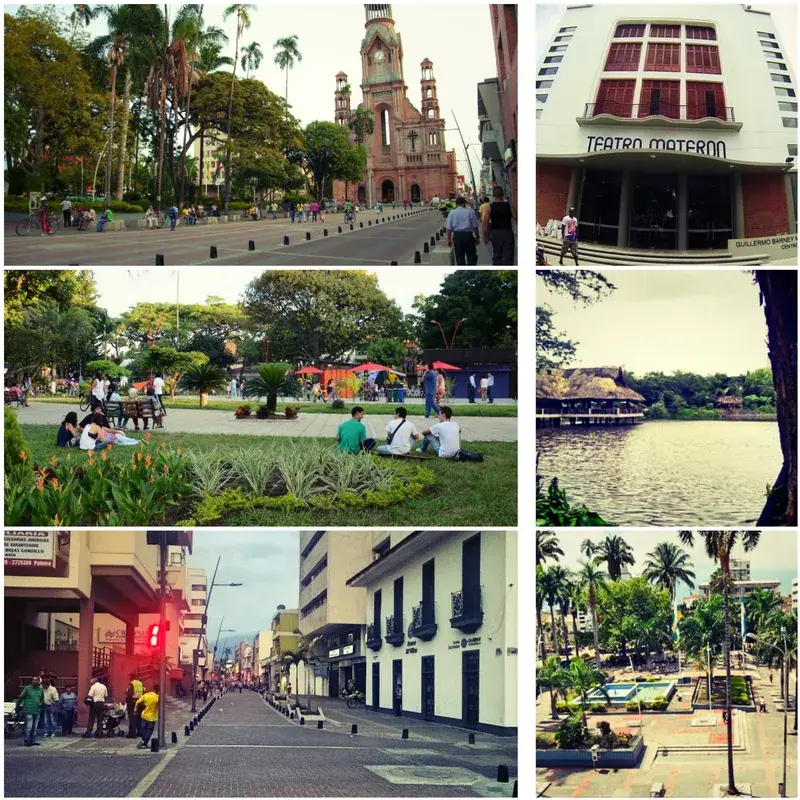
Explore nearby
Notable places around
Route planner — Car & Motorhome
Where do you start? We build the route here, with stops and country notes along the way.
© OpenStreetMap contributors · OpenRouteService
Sights in the town Colombian Massif (1)
Sights nearby
Frequently asked questions
What is the Macizo Colombiano?
Which rivers originate here?
Is it also called the 'water castle'?
Which archaeological site is nearby?
What is the terrain like?
Colombian Massif: where is it located?
Colombian Massif: when is the best time to visit?
Colombian Massif: why is it worth visiting?

Nearby cities
History & landmarks
Nature
More places