Plizio Visual Lab
Puracé Volcano
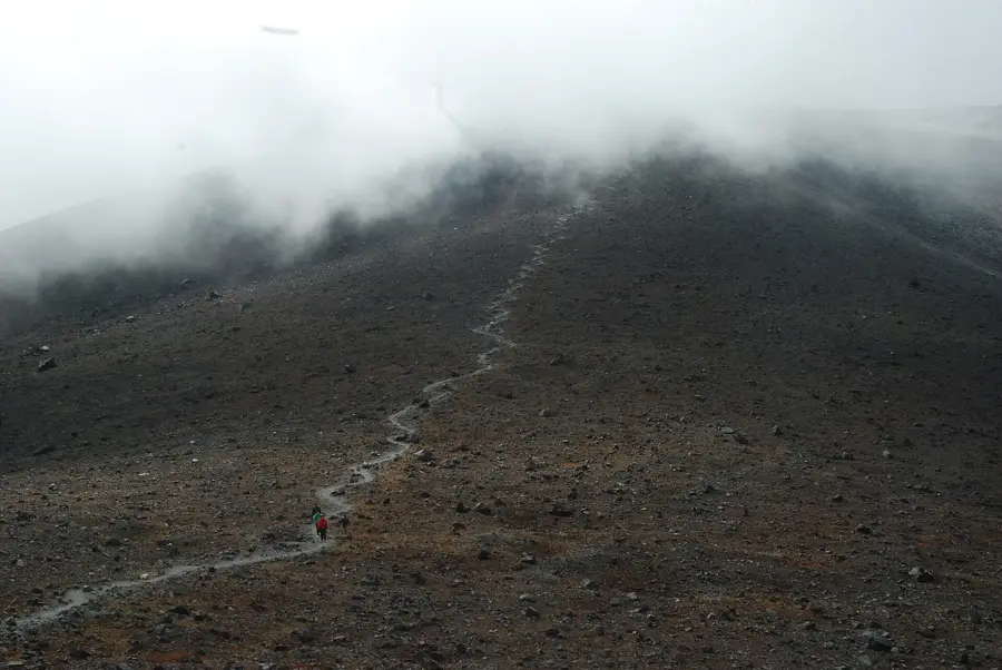
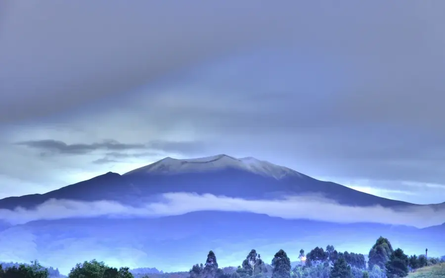
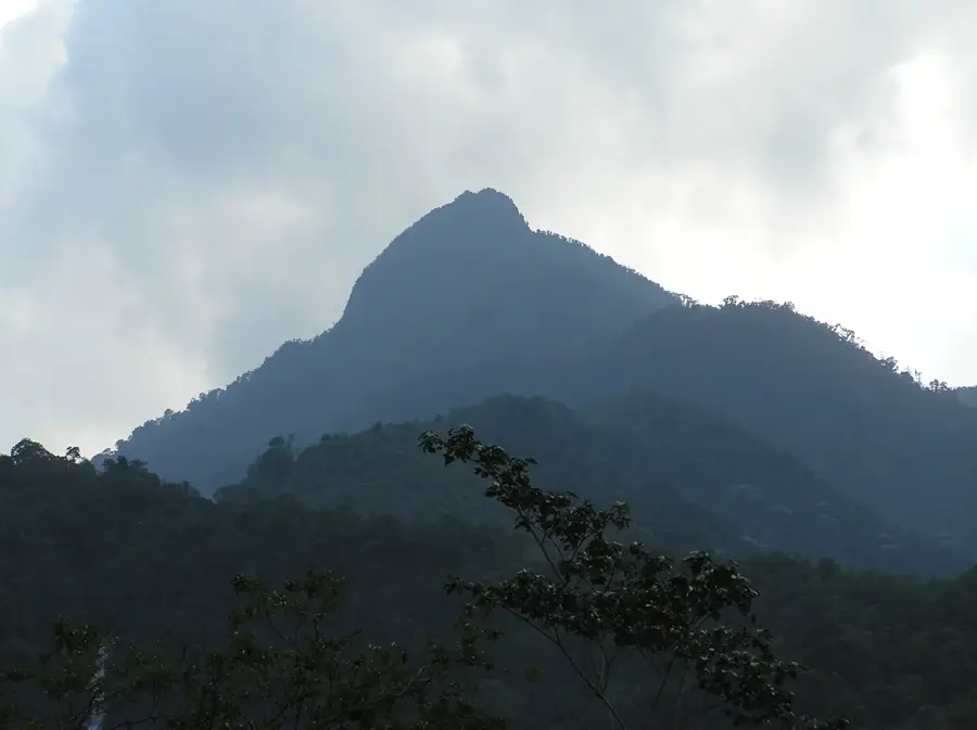
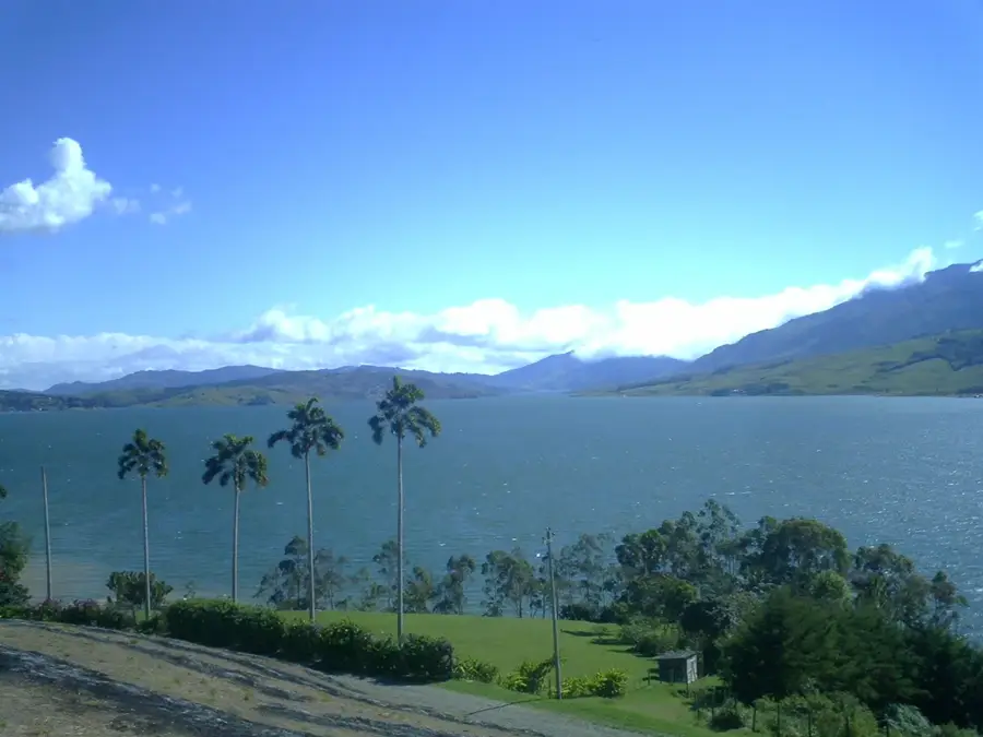
Puracé Volcano is an active stratovolcano located in southwestern Colombia, approximately 25 kilometers from the city of Popayán. It reaches an elevation of 4,646 meters and is part of the Coconuco volcanic chain in the Central Cordillera. The name 'Puracé' originates from the indigenous Coconuco language and translates to 'mountain of fire.' The volcano is well-known for its intense fumarolic activity and the numerous sulfur springs found on its slopes. The surrounding area is protected within the Puracé National Natural Park, famous for its diverse wildlife, including the Andean condor. Geologically, the volcano is characterized by frequent explosive eruptions in the past, with the last major event occurring in 1977. The landscape is dominated by high-altitude paramo ecosystems and striking volcanic rock formations. For the local communities, the volcano is both a source of geothermal energy and a cultural landmark, requiring continuous monitoring due to its active status.
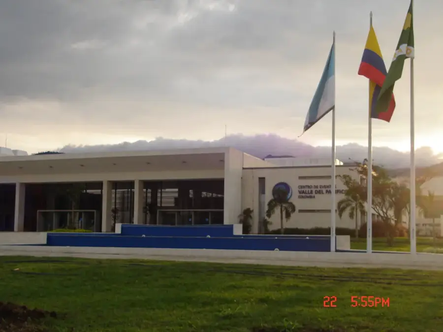
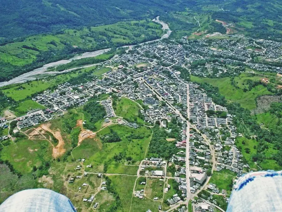
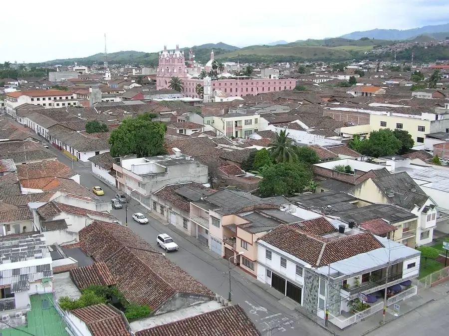
- Location: Colombia
- Top sights: Condor Viewpoint · Mirador laguna andulbio · Thermales de san juan
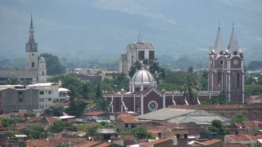
- Nearby: Jamundí (29 km)
Best time to visit & climate
The most pleasant time to visit is Jul–Sep.
| Jan | Feb | Mar | Apr | May | Jun | Jul | Aug | Sep | Oct | Nov | Dec | |
|---|---|---|---|---|---|---|---|---|---|---|---|---|
| Avg °C | 15 | 15 | 15 | 15 | 15 | 14 | 14 | 14 | 15 | 15 | 15 | 15 |
| Rain mm | 61 | 72 | 106 | 131 | 105 | 56 | 38 | 27 | 45 | 118 | 158 | 102 |
📋 Practical info
Geography
Facts
- Elevation of 4,646 meters
- Part of the Coconuco volcanic chain
- Last major eruption occurred in 1977
- Habitat for the Andean Condor
- Significant sulfur deposits near the crater
- Average temperature at the summit is 3-5°C
Explore nearby
Notable places around
Route planner — Car & Motorhome
Where do you start? We build the route here, with stops and country notes along the way.
© OpenStreetMap contributors · OpenRouteService
Sights in the town Puracé Volcano (4)
Sights nearby
Frequently asked questions
Can you hike to the crater?
Where is the volcano?
Are there condors there?
What does it smell like at the peak?
Are there thermal springs?
Puracé Volcano: where is it located?
Puracé Volcano: what is there to see?
Puracé Volcano: when is the best time to visit?
Puracé Volcano: why is it worth visiting?

Nearby cities
History & landmarks
Nature
More places