Plizio Visual Lab
Magangué
ℹ️Practical info — Magangué
▾
🌤 Weather — 5 days
📍 Nearby
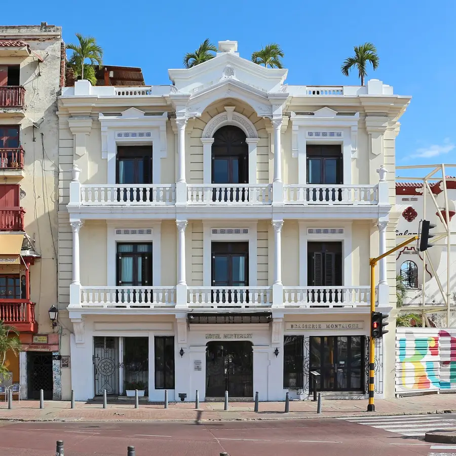
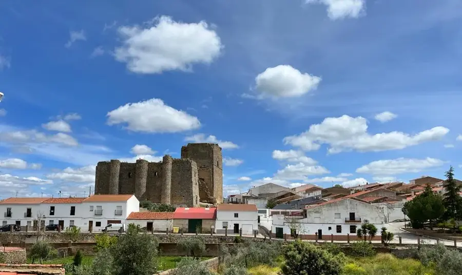
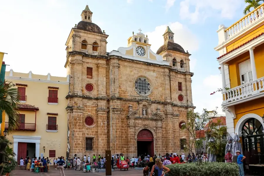
Sights nearby
💡 Tips
- Very hot and humid tropical climate; stay out of the midday sun.
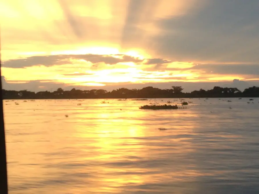
- It's a major river port; taking a boat ride on the Magdalena River is a must.
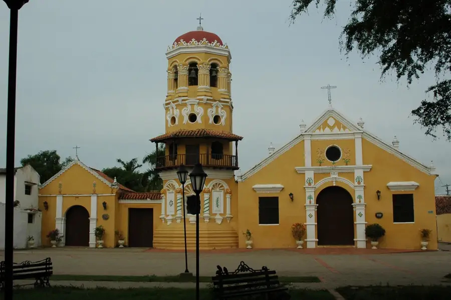
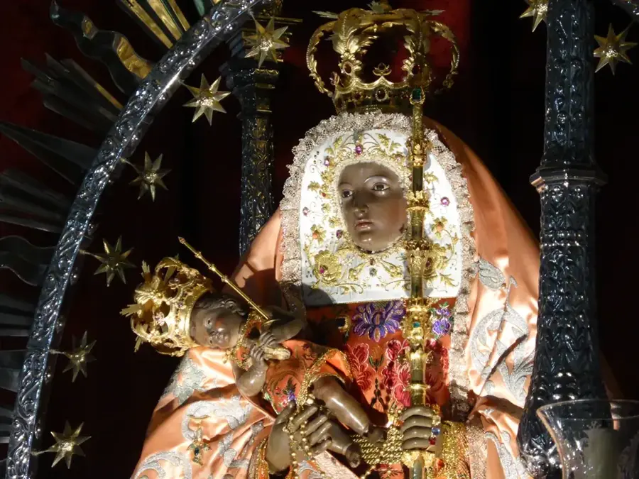
- Visit the Cathedral of Nuestra Señora de la Candelaria.
- Seafood and river fish are the staples here.
🍽 Food
Fried local river fish, best at riverside eateries.
Traditional yam and cheese soup, available in local comedores.
Refreshing local palm fruit juice.
🛍 Shopping · 🧘 Quiet spots
Great place to see the daily catch and local river trade.
Area to find local artisanal items and daily goods.
Walk along the Magdalena River at sunset.
A quiet square to sit in the shade.
Water temperature…
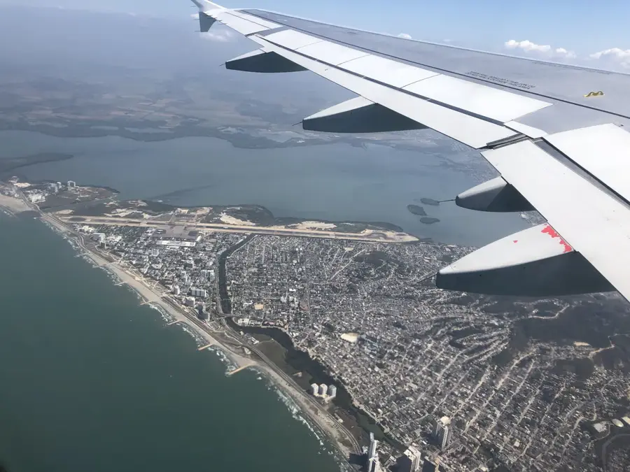
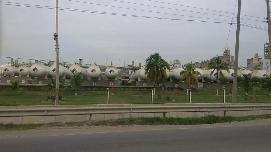
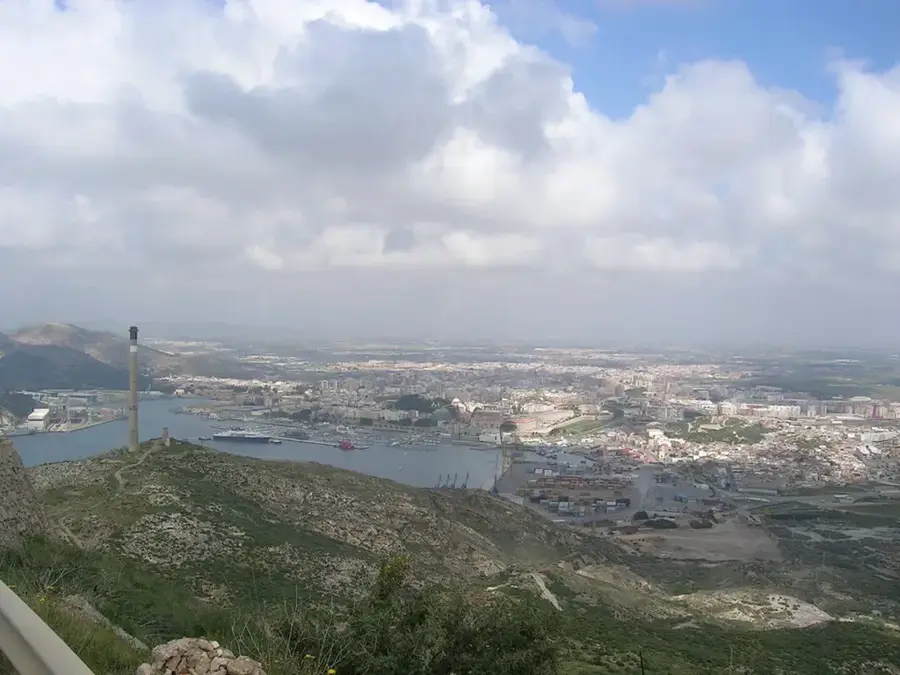
Magangué is a major port city in the Bolívar Department, strategically positioned on the banks of the Magdalena River, Colombia's most important waterway. Founded in 1610 by Diego de Carvajal, the settlement evolved into a vital commercial hub due to its location at the confluence of the San Jorge and Magdalena rivers. The city serves as a critical link in inland trade, connecting the plains of Bolívar and Sucre with the Caribbean coastal ports. Economically, Magangué is heavily dependent on commercial fishing, particularly the bocachico, as well as large-scale rice cultivation and cattle ranching. Its bustling riverfront markets and active port operations define the local daily life and cultural identity. Over the past few decades, the city has transformed into a significant regional center for healthcare and education, providing essential services to the southern part of the department and maintaining its status as a key inland logistics node.
- Location: Colombia
- Top sights: Parque verde Punta de Piedra · Antonio Nariño · Virgen de la Candelaria
- Nearby: Sabanalarga (44 km)
- Population: ~123.982 (2022)
Best time to visit & climate
The most pleasant time to visit is Jan, Feb, Dec.
| Jan | Feb | Mar | Apr | May | Jun | Jul | Aug | Sep | Oct | Nov | Dec | |
|---|---|---|---|---|---|---|---|---|---|---|---|---|
| Avg °C | 29 | 31 | 31 | 30 | 29 | 28 | 28 | 28 | 27 | 27 | 27 | 28 |
| Rain mm | 12 | 9 | 25 | 81 | 128 | 105 | 135 | 118 | 119 | 121 | 108 | 42 |
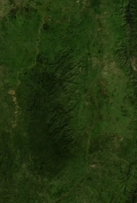
Geography
Facts
- Founded on October 20, 1610, by the Spaniard Diego de Carvajal.
- Located at an average elevation of just 30 meters above sea level.
- The second-most populous city in the Bolívar Department after Cartagena.
- A major commercial hub for the bocachico fish trade in northern Colombia.
- Home to the Cathedral of Nuestra Señora de la Candelaria.
- The city experiences a tropical climate with an average temperature of 28°C.
Explore nearby
Notable places around
Route planner — Car & Motorhome
Where do you start? We build the route here, with stops and country notes along the way.
© OpenStreetMap contributors · OpenRouteService
Sights in the town Magangué (5)
Frequently asked questions
Where is Magangué located?
How is the climate there?
What is the Cathedral of Our Lady of Candela?
What is the best way to travel there?
What is the local food?
Magangué: where is it located?
Magangué: what is there to see?
Magangué: when is the best time to visit?
Magangué: why is it worth visiting?

Nearby cities
History & landmarks
More places