Plizio Visual Lab
Picos
ℹ️Practical info — Picos
▾
🌤 Weather — 5 days
📍 Nearby
Sights nearby
💡 Tips
- Picos is located in a striking valley; the viewpoints from the main road above the town are spectacular.
- It's a great starting point for hiking in the interior of Santiago.
- The local market days are animated and the best time to see the town alive.
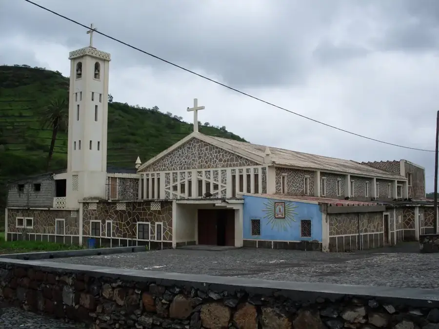
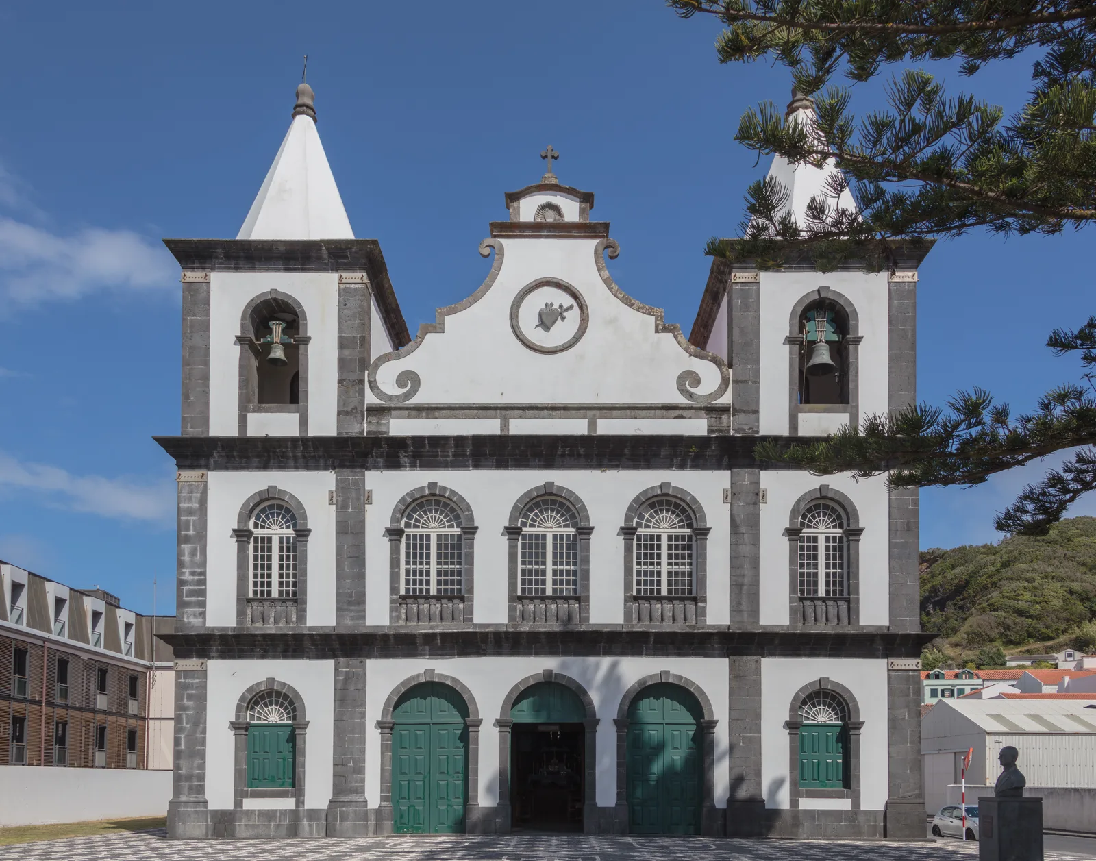
- Stop by the local church, which provides a beautiful contrast against the green mountains.
🍽 Food
A comforting fish broth available at small local eateries.
Enjoy this fried dough as a breakfast snack with local coffee.
A classic Cape Verdean dessert combination found in small shops.
🛍 Shopping · 🧘 Quiet spots
Buy fresh mangoes and sugarcane directly from farmers.
Small shops offering local jams and basic supplies.
Walk down into the Ribeira for absolute tranquility and lush scenery.
A calm spot to sit and enjoy the mountain breeze.
Water temperature…
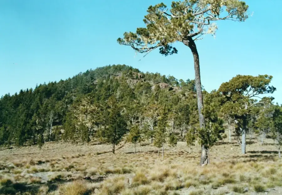
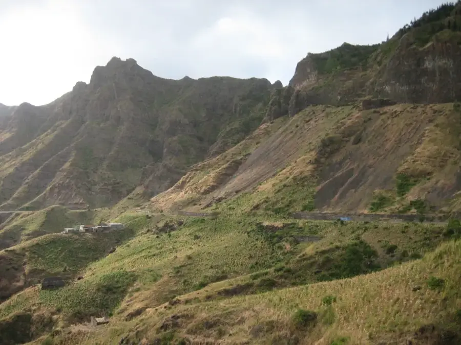
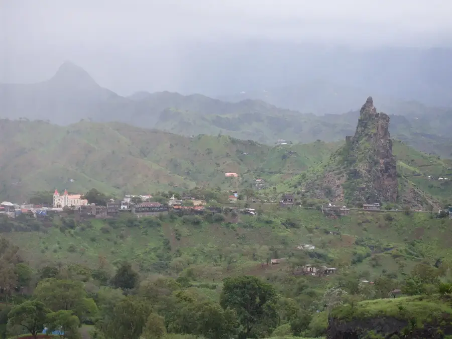
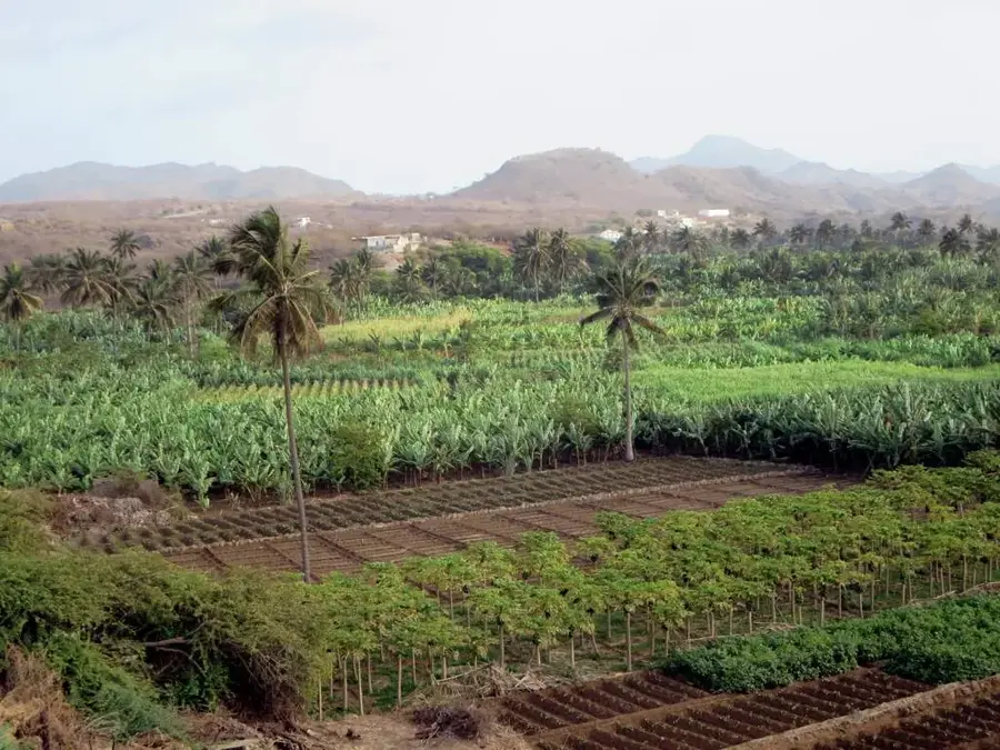
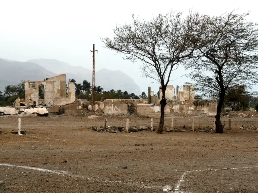
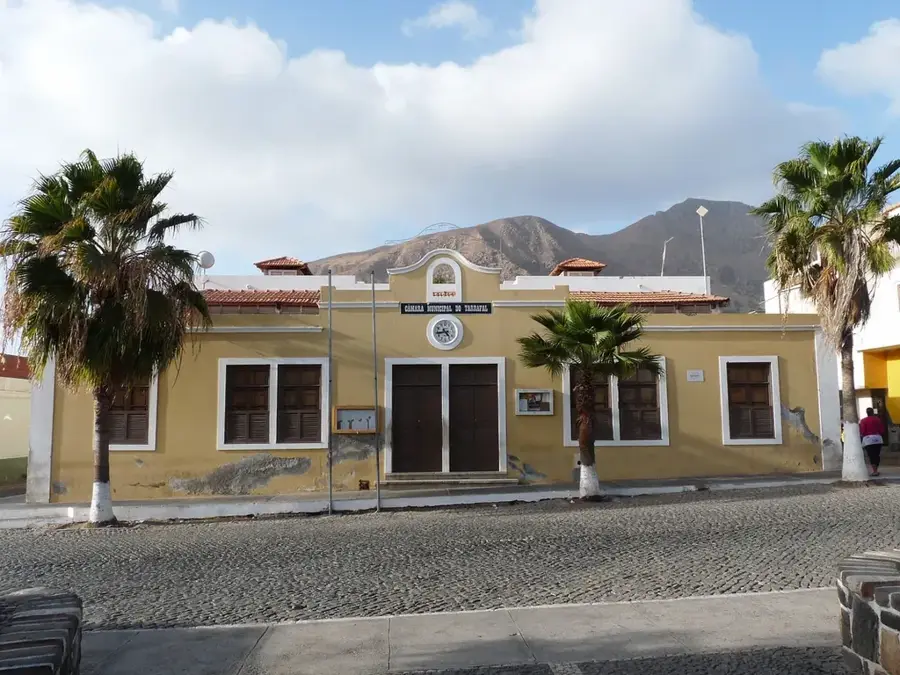
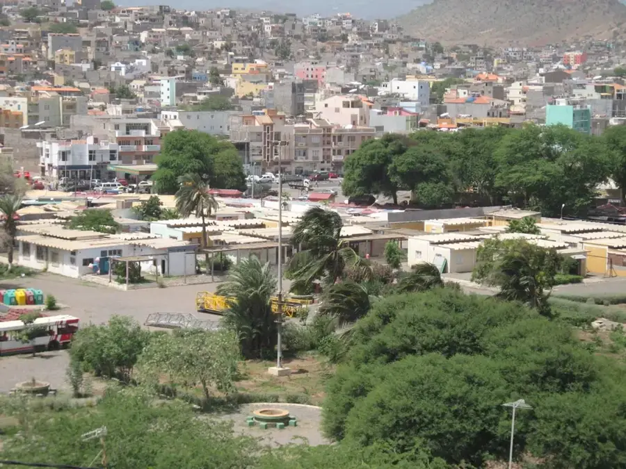
Picos, officially known as Achada Igreja, is the administrative seat of the São Salvador do Mundo municipality, located in the mountainous heart of Santiago Island. The town is situated at an elevation of approximately 400 meters, surrounded by jagged peaks and deep valleys that characterize the island's interior. As a central highland hub, Picos plays a significant role in supporting the local agricultural economy, where rain-fed farming of staples like maize and beans is the primary livelihood. Historically, the rugged terrain around Picos provided refuge for runaway slaves, shaping a resilient and independent local community. The town's architecture is anchored by the prominent Church of São Salvador do Mundo, which sits at its highest point. Its strategic location makes it a favored starting point for hikers aiming to reach Pico de Antónia, the highest summit on Santiago. Despite its rural setting, Picos remains a crucial link for development initiatives in the central regions of the island.
- Location: Cape Verde
- Nearby: João Teves (5 km)
- Population: ~2.040 (2026)
Best time to visit & climate
The most pleasant time to visit is Feb–Apr.
| Jan | Feb | Mar | Apr | May | Jun | Jul | Aug | Sep | Oct | Nov | Dec | |
|---|---|---|---|---|---|---|---|---|---|---|---|---|
| Avg °C | 23 | 22 | 22 | 23 | 23 | 24 | 25 | 27 | 27 | 27 | 26 | 24 |
| Rain mm | 22 | 20 | 8 | 5 | 4 | 4 | 12 | 56 | 82 | 45 | 37 | 30 |
Geography
Facts
- Picos is situated at an altitude of approximately 400 meters.
- The town became a municipal seat in 2005 with the creation of São Salvador do Mundo.
- It is located about 25 kilometers northwest of the capital, Praia.
- The main church is dedicated to São Salvador do Mundo (Savior of the World).
- The surrounding area is a major producer of maize and beans.
- Picos is a traditional gateway to the Pico de Antónia mountain range.
Explore nearby
Notable places around
Route planner — Car & Motorhome
Where do you start? We build the route here, with stops and country notes along the way.
© OpenStreetMap contributors · OpenRouteService
Sights in the town Picos (1)
Frequently asked questions
Is hiking in Picos worth it?
What is the difficulty level of the trails?
What is special about the architecture?
Are there water sources?
How to get to Picos?
Picos: where is it located?
Picos: when is the best time to visit?
Picos: why is it worth visiting?

Nearby cities


History & landmarks
More places