Plizio Visual Lab
Topo de Coroa
Weather…
Water temperature…
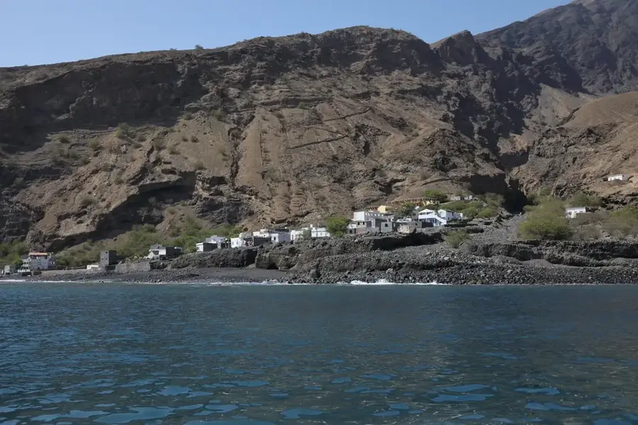
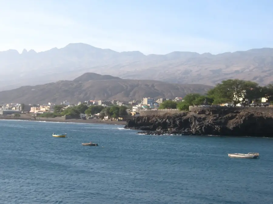
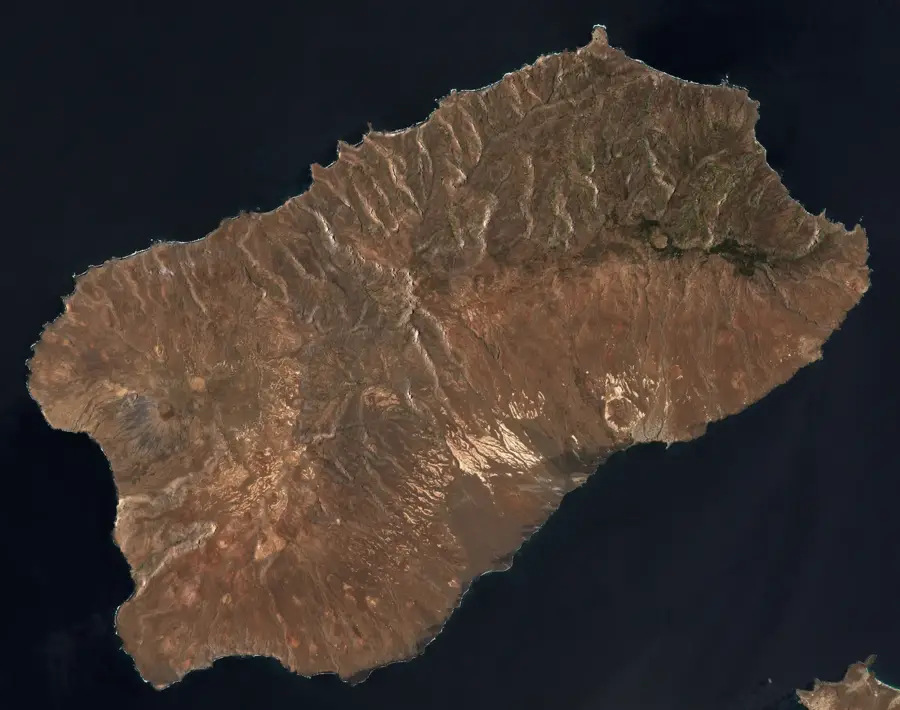
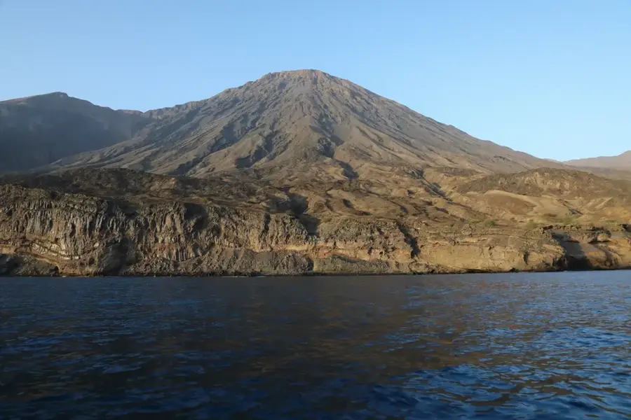
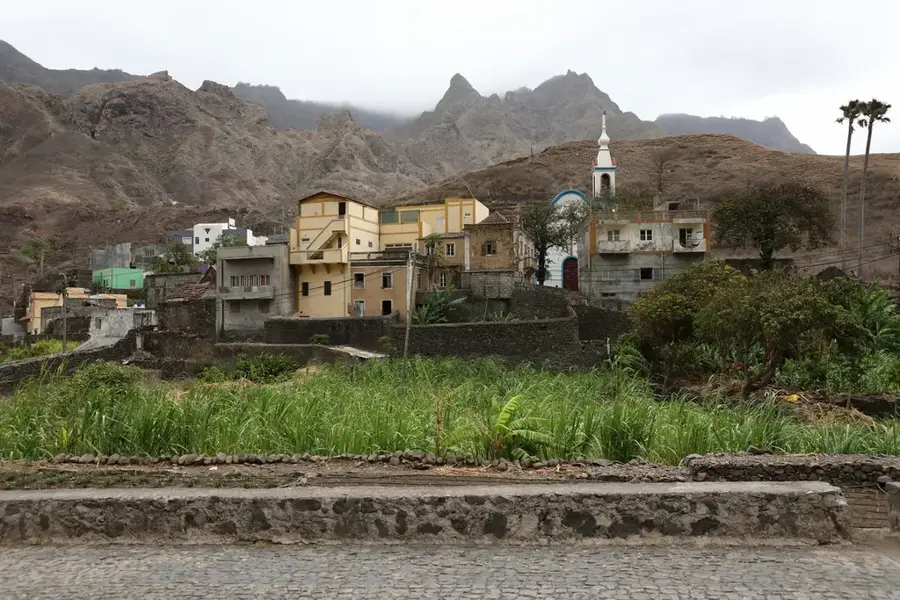
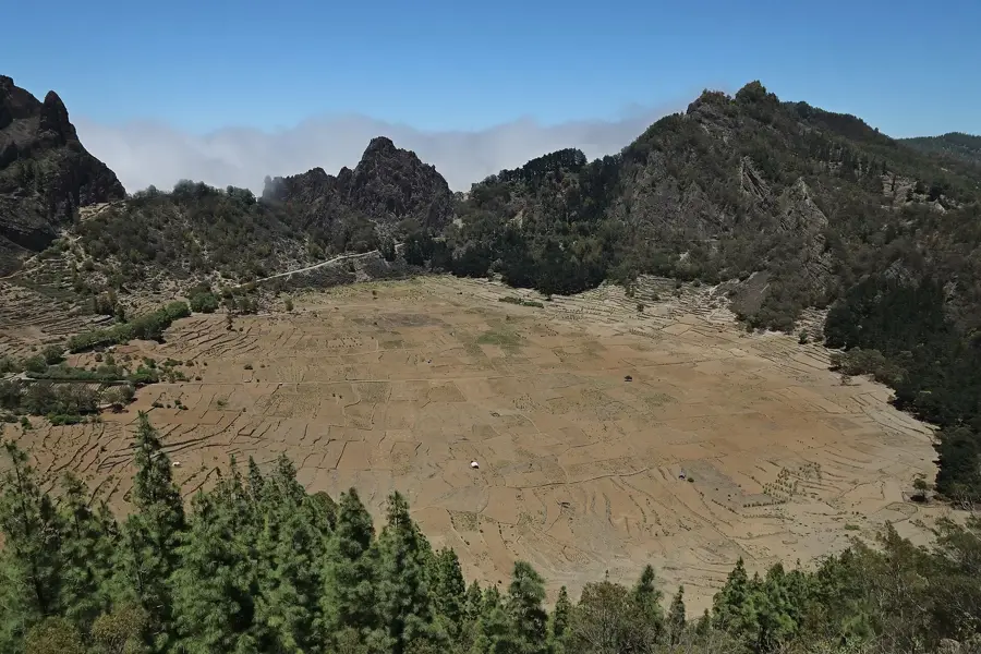
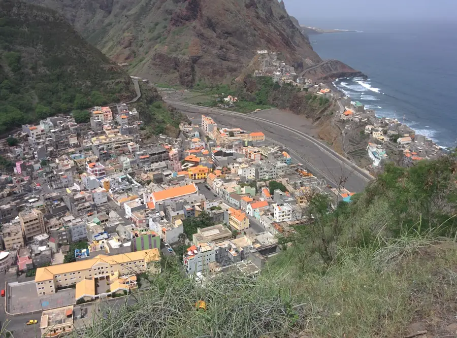
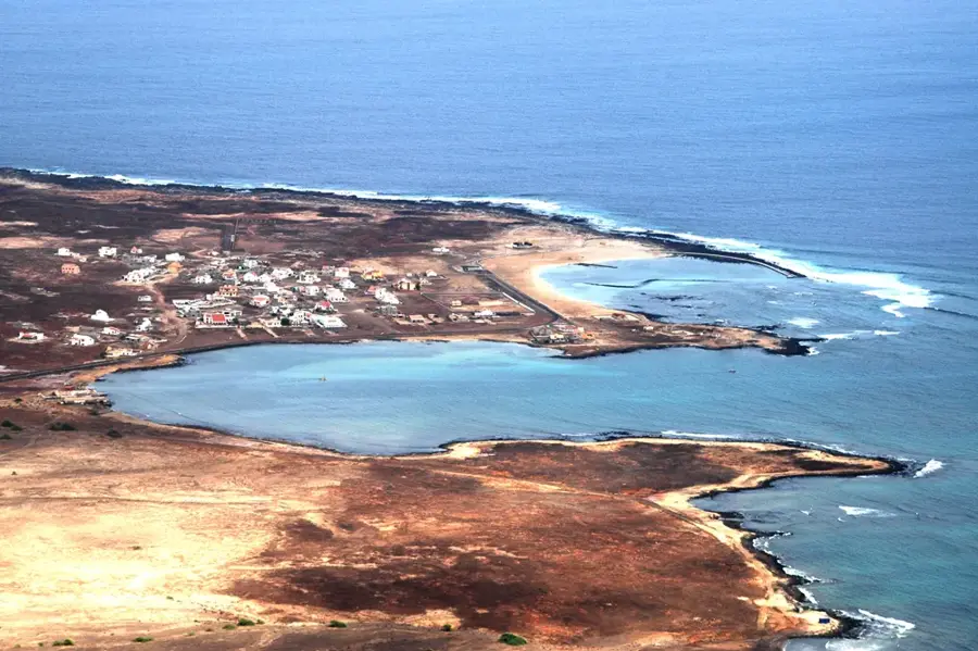
Topo de Coroa reaches an elevation of 1979 meters, making it the highest point on the island of Santo Antão and the second highest peak in Cape Verde. Located in the western, more arid region of the island, this volcanic massif stands as a prominent landmark. It is part of a high plateau characterized by deep erosional gullies and dramatic escarpments, typical of Santo Antão's rugged terrain. In stark contrast to the lush, green valleys of the northeast, the area surrounding Topo de Coroa is sparsely vegetated but hosts several rare endemic plant species. Geologically composed primarily of basaltic rocks, the mountain showcases the island's complex volcanic history. Trekking to the summit is a demanding endeavor due to its isolation, but it provides unparalleled views of the island's wild western coast and the vast Atlantic Ocean.
- Location: Cape Verde
- Nearby: Porto Novo (26 km)
Best time to visit & climate
The most pleasant time to visit is Feb–Apr.
| Jan | Feb | Mar | Apr | May | Jun | Jul | Aug | Sep | Oct | Nov | Dec | |
|---|---|---|---|---|---|---|---|---|---|---|---|---|
| Avg °C | 22 | 22 | 22 | 22 | 23 | 24 | 25 | 26 | 27 | 26 | 25 | 24 |
| Rain mm | 25 | 19 | 11 | 10 | 3 | 5 | 7 | 20 | 41 | 23 | 29 | 30 |
📋 Practical info
Geography
Facts
- Highest peak on Santo Antão (1979m)
- Second highest elevation in Cape Verde
- Volcanic origin composed of basaltic rock
- Located in the arid western part of the island
- Habitat for several endemic plant species
- A remote and challenging trekking destination
Explore nearby
Notable places around
Route planner — Car & Motorhome
Where do you start? We build the route here, with stops and country notes along the way.
© OpenStreetMap contributors · OpenRouteService
Sights in the town Topo de Coroa (1)
Sights nearby
Frequently asked questions
Where is Topo de Coroa located?
How do you reach the start of the hike?
Is the area inhabited?
What should you definitely bring?
What is the view from the summit?
Topo de Coroa: where is it located?
Topo de Coroa: when is the best time to visit?
Topo de Coroa: why is it worth visiting?

Nearby cities

History & landmarks
More places