Plizio Visual Lab
Cova de Paúl
Weather…
Water temperature…
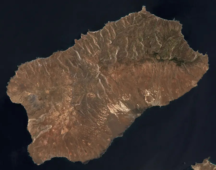
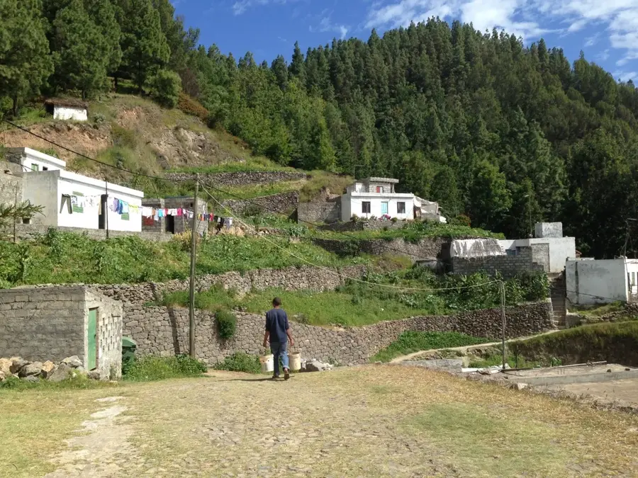
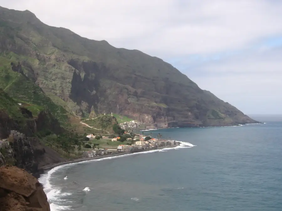
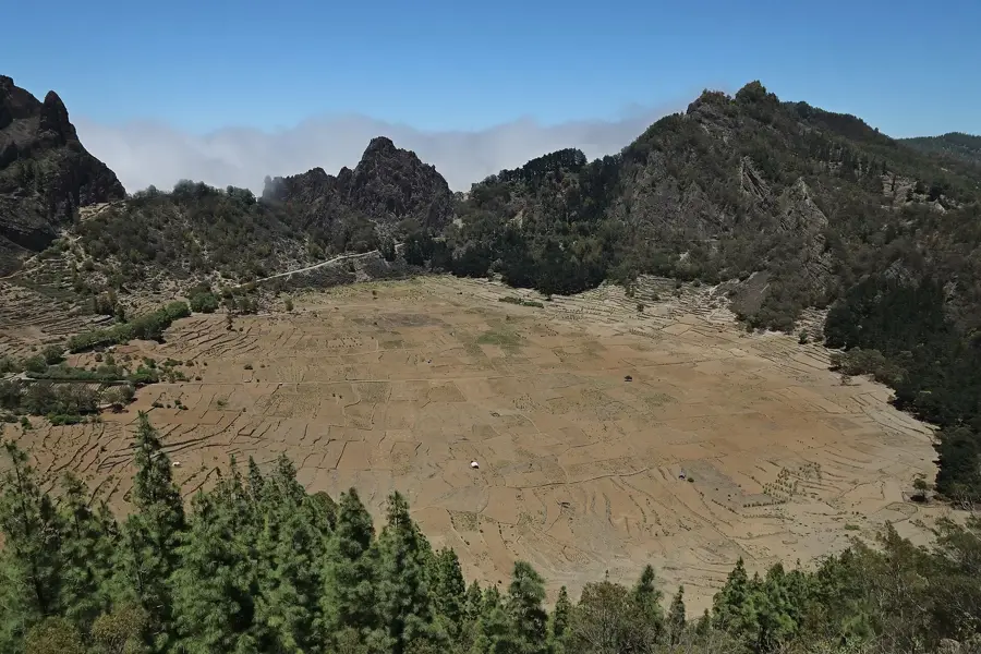
Cova de Paúl is a massive volcanic crater located in the central highlands of Santo Antão island, renowned as one of the most fertile agricultural regions in Cape Verde. The crater floor sits at an elevation of approximately 1,000 meters and benefits from regular rainfall and frequent cloud cover, which sustains its lively green landscape. Farmers utilize almost every square meter of the floor to grow maize, beans, potatoes, and high-quality coffee within this natural amphitheater. The steep crater walls rise sharply around the depression, often shrouded in mist that creates a mystical and serene environment. Geologically, it is a collapse caldera formed during the island's violent volcanic past several million years ago. Popular hiking trails link the crater to the deep Paúl Valley, descending through dramatic switchbacks toward the northern coast. Cova de Paúl stands as a testament to the ingenuity of the local population in managing vertical landscapes for sustainable agriculture.
- Location: Cape Verde
- Top sights: Farol de Fontes Pereira de Melo · Pico da Cruz
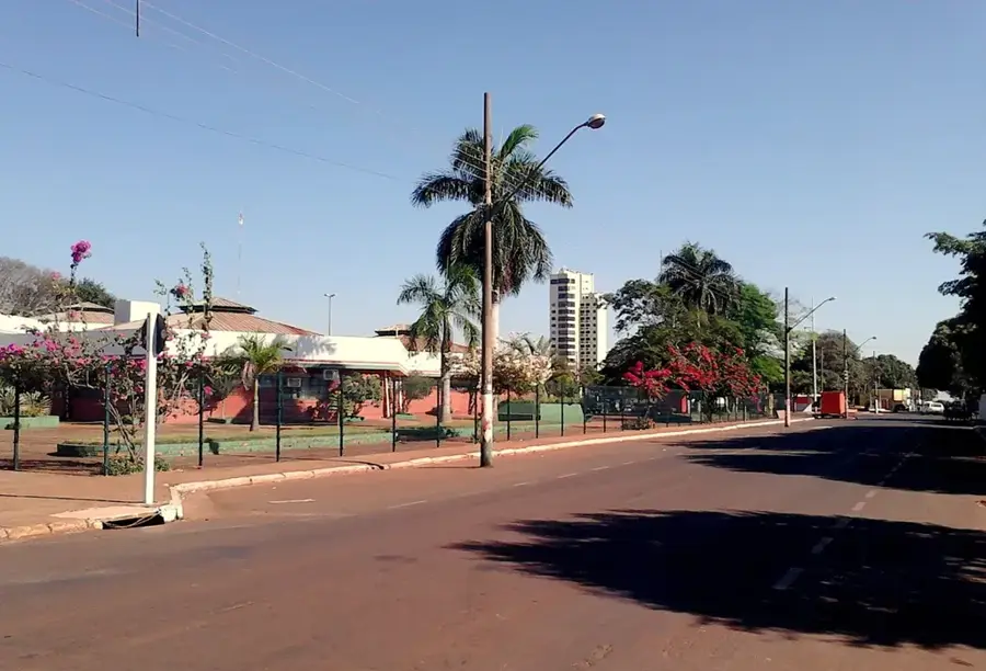
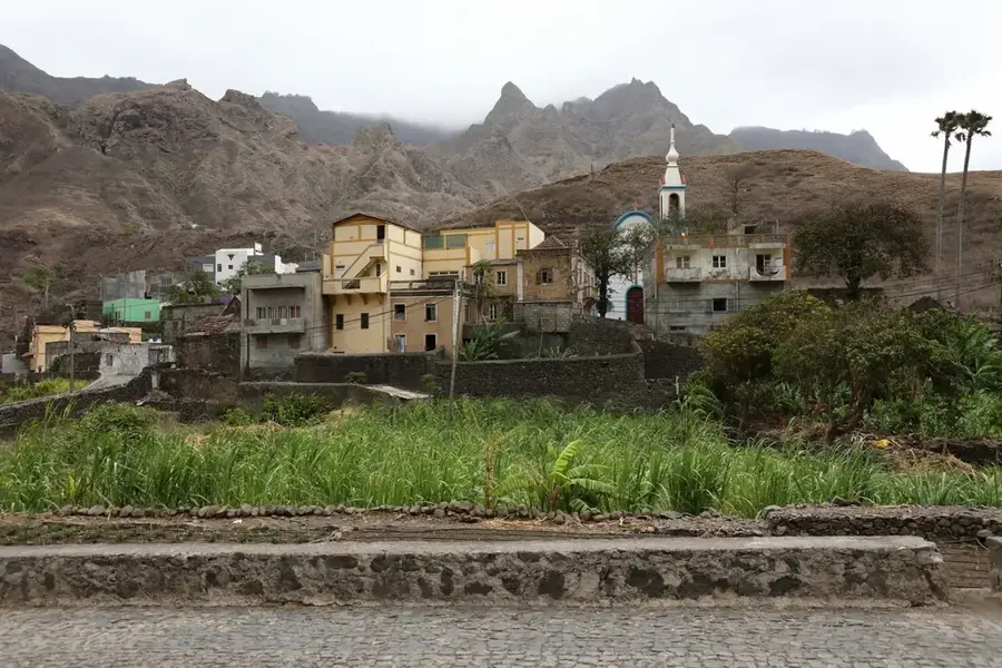
- Nearby: Vila das Pombas (4 km)
Best time to visit & climate
The most pleasant time to visit is Mar–May.
| Jan | Feb | Mar | Apr | May | Jun | Jul | Aug | Sep | Oct | Nov | Dec | |
|---|---|---|---|---|---|---|---|---|---|---|---|---|
| Avg °C | 21 | 21 | 21 | 22 | 22 | 23 | 24 | 26 | 26 | 26 | 24 | 23 |
| Rain mm | 41 | 37 | 19 | 14 | 7 | 7 | 9 | 28 | 46 | 27 | 37 | 50 |
📋 Practical info
Geography
Facts
- The floor of the crater is situated at an average elevation of 1,000 meters.
- The diameter of the caldera measures approximately 1 kilometer at its widest point.
- Annual rainfall here is significantly higher than the coastal average of 200 mm.
- The coffee grown inside the crater is one of the few varieties produced in Cape Verde.
- The hiking descent into the Paúl Valley covers an elevation drop of over 800 meters.
- Cova is part of the Cova-Paul-Ribeira da Torre Natural Park, established in 2003.
Explore nearby
Notable places around
Route planner — Car & Motorhome
Where do you start? We build the route here, with stops and country notes along the way.
© OpenStreetMap contributors · OpenRouteService
Sights in the town Cova de Paúl (2)
Sights nearby
Frequently asked questions
What is Cova de Paúl?
Can you hike in the crater?
What plants grow there?
What is the climate like in the crater?
Where does the famous descent start?
Cova de Paúl: where is it located?
Cova de Paúl: what is there to see?
Cova de Paúl: when is the best time to visit?
Cova de Paúl: why is it worth visiting?

Nearby cities
History & landmarks
More places