Plizio Visual Lab
Monte Joaquim
Weather…
Water temperature…
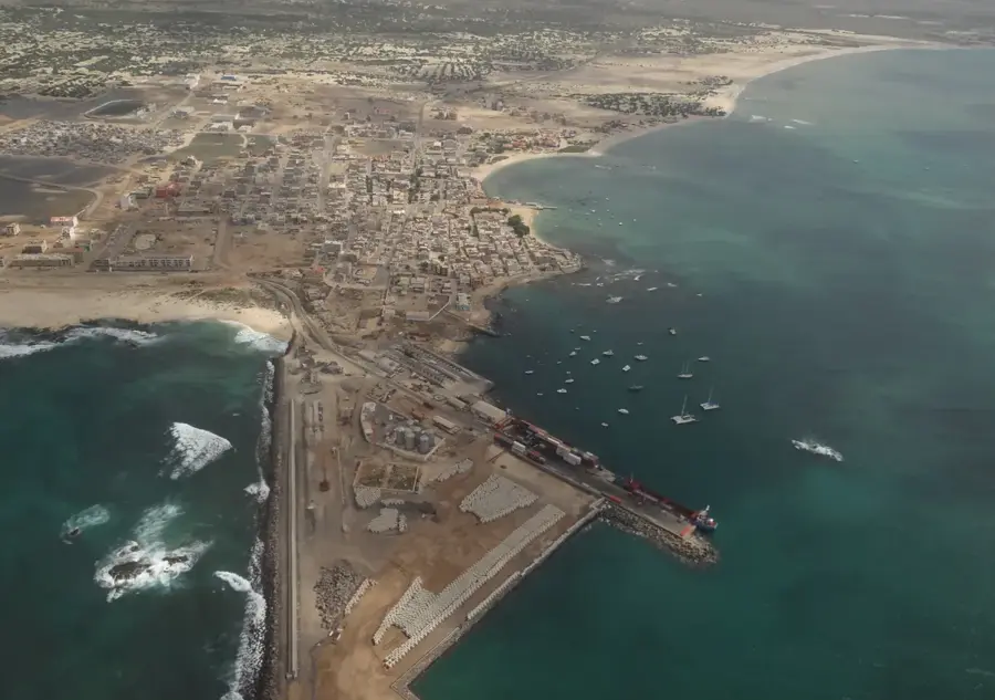
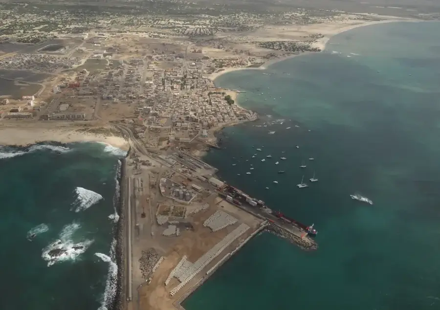
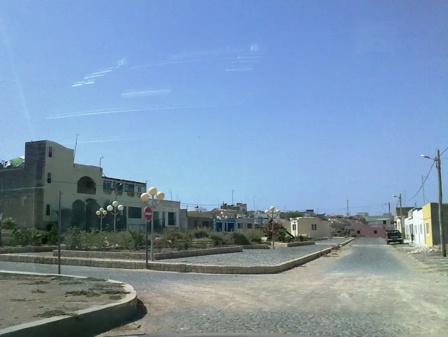
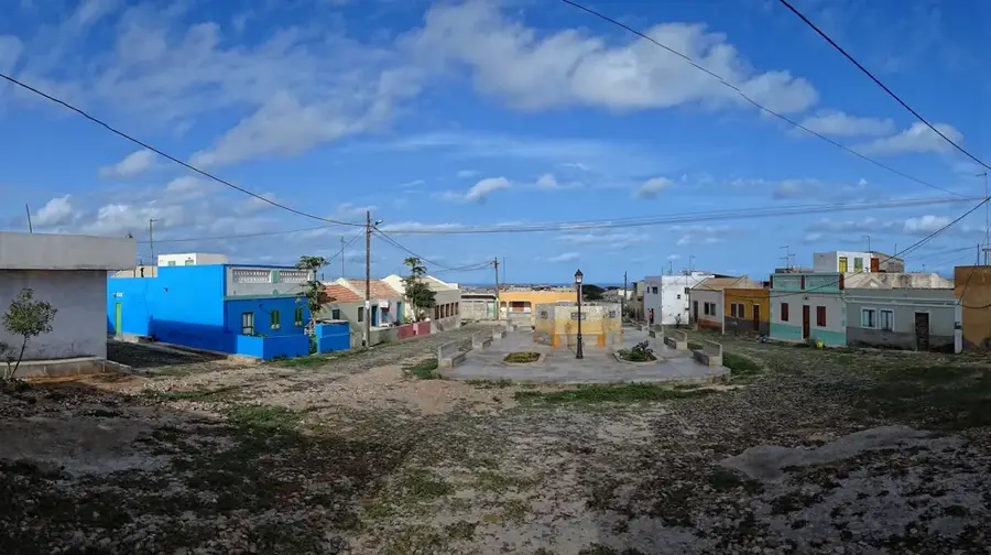
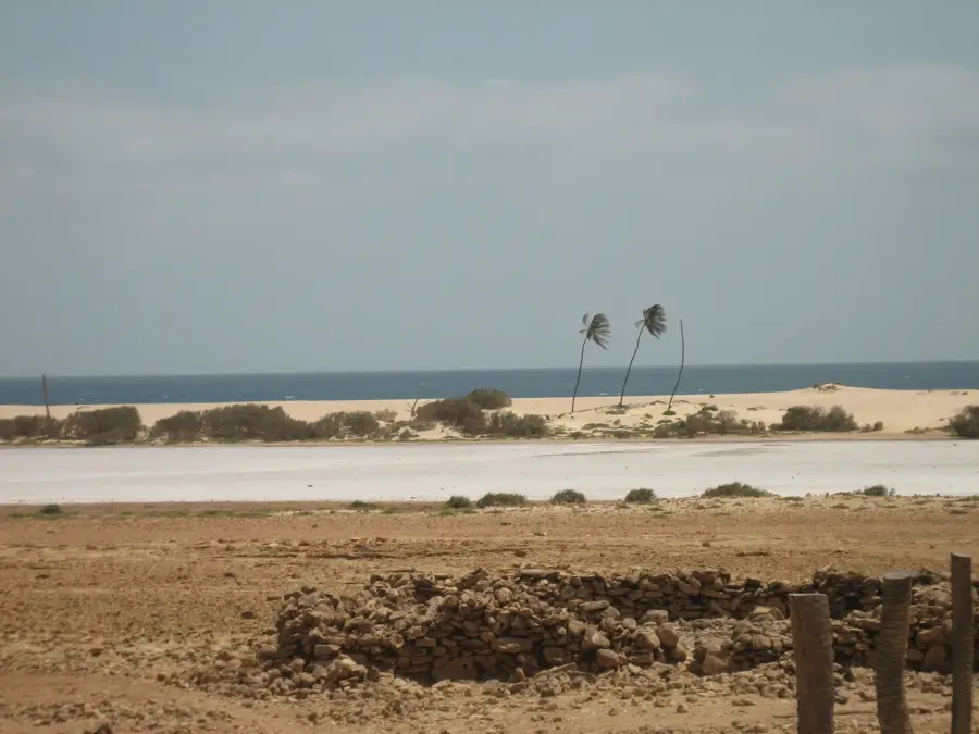
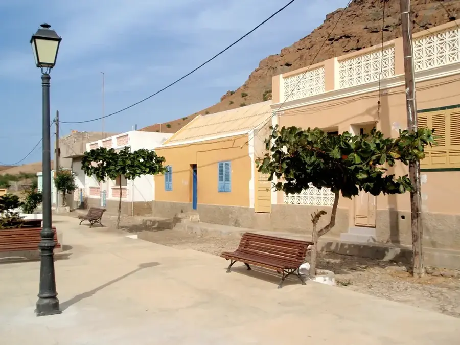
Monte Joaquim is a prominent elevation on the island of Maio in Cape Verde, reaching a height of approximately 203 meters above sea level. Although Maio is predominantly flat and famous for its extensive sandy beaches, Monte Joaquim serves as an important topographical landmark in the northern part of the island. Geologically, it is an isolated remnant of volcanic activity, composed primarily of basaltic and phonolitic rocks. The landscape surrounding the mountain is characterized by acacia forests and sparse grazing land, typical of the island's semi-arid climate. Historically, the region around Monte Joaquim was significant for limestone and salt extraction, which sustained Maio's economy for centuries. From its summit, visitors can enjoy expansive views of the northern coast and the vast plains that characterize the island. The mountain also serves as a vital habitat for various bird species and reptiles that find refuge in the relatively undisturbed nature of the island's north. Hiking to Monte Joaquim has insights into one of the most pristine regions of the island, far from the main settlements, showcasing the quiet beauty of Cape Verdean nature.
- Location: Cape Verde
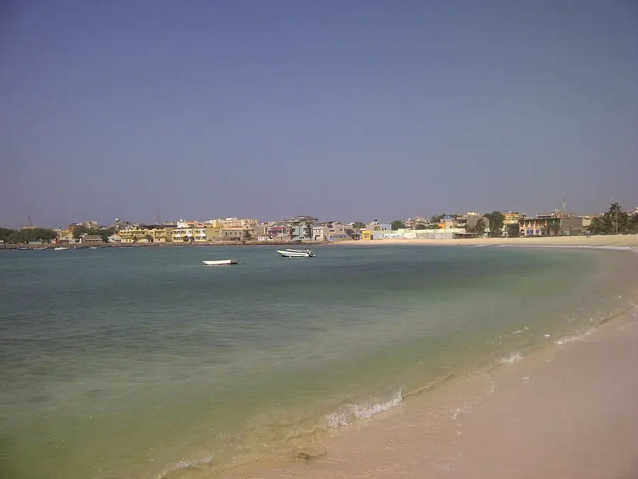
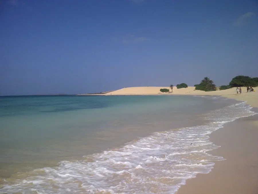
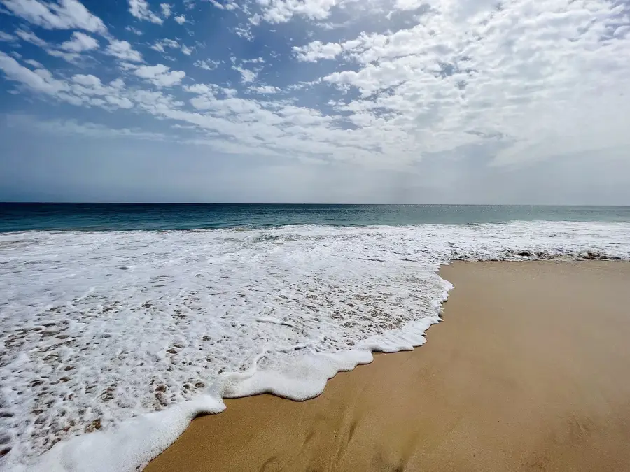
- Top sights: Praia de Carvão · Praia de Abrohla · Praia de Lancha
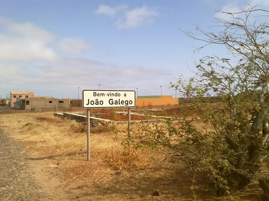
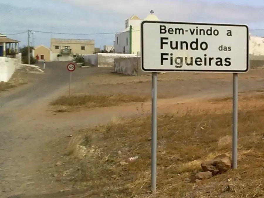
- Nearby: Estância de Baixo (9 km)
Best time to visit & climate
The most pleasant time to visit is Feb–Apr.
| Jan | Feb | Mar | Apr | May | Jun | Jul | Aug | Sep | Oct | Nov | Dec | |
|---|---|---|---|---|---|---|---|---|---|---|---|---|
| Avg °C | 22 | 22 | 22 | 22 | 23 | 23 | 25 | 26 | 27 | 27 | 25 | 24 |
| Rain mm | 21 | 21 | 8 | 5 | 4 | 3 | 8 | 38 | 58 | 33 | 31 | 27 |
📋 Practical info
Geography
Facts
- The peak reaches an elevation of 203 meters (666 feet).
- It is located in the northern, less developed part of Maio Island.
- The mountain is part of the oldest volcanic structures in Cape Verde.
- Large-scale acacia plantations surround the base to prevent soil erosion.
- The summit offers a clear view of the Atlantic towards the east.
- Historically, it served as a lookout for coastal defense.
Explore nearby
Notable places around
Route planner — Car & Motorhome
Where do you start? We build the route here, with stops and country notes along the way.
© OpenStreetMap contributors · OpenRouteService
Sights in the town Monte Joaquim (3)
Sights nearby
Frequently asked questions
What is Monte Joaquim?
Can you see the sea from there?
Is the mountain inhabited?
What flora grows there?
Can you hike there?
Monte Joaquim: where is it located?
Monte Joaquim: what is there to see?
Monte Joaquim: when is the best time to visit?
Monte Joaquim: why is it worth visiting?

Nearby cities
More places