Plizio Visual Lab
Monte Fontainhas
Weather…
Water temperature…
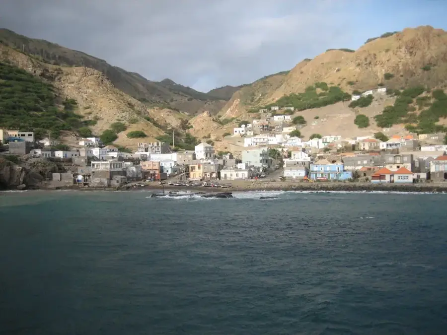
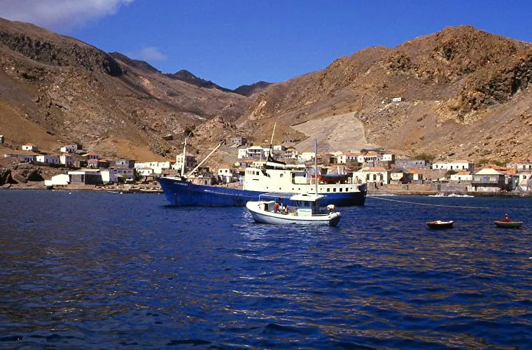
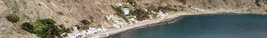
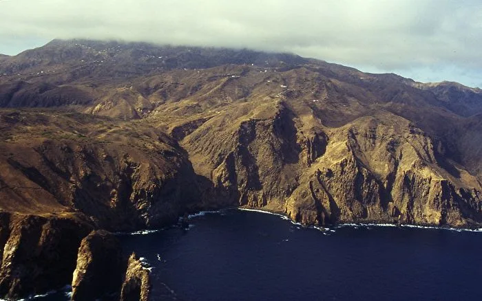
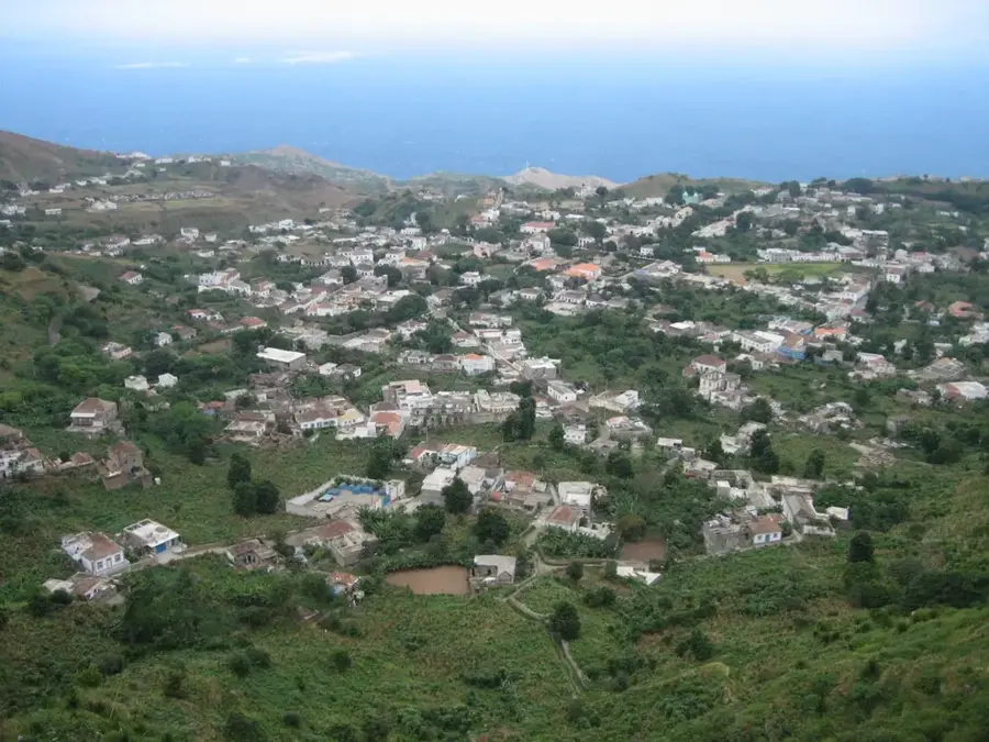
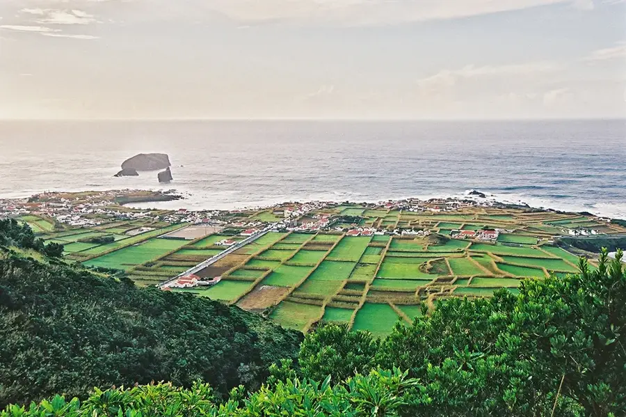
Monte Fontainhas stands as the highest peak on Brava Island in Cape Verde, reaching an elevation of 976 meters above sea level. This volcanic mountain dominates the landscape of the smallest inhabited island in the archipelago and is frequently shrouded in dense trade wind clouds. These climatic conditions foster a moist microclimate, making the mountain's surroundings significantly greener and more fertile than most other regions in Cape Verde. The area supports various agricultural activities, including the cultivation of coffee, citrus fruits, and maize on terraced slopes. Geologically, the mountain is composed primarily of phonolite and other volcanic rocks, surrounded by deep valleys and steep ridges carved by erosion. Hiking trails leading from the town of Nova Sintra offer expansive views of the nearby islands of Fogo and Santiago when the mist clears. For the local community, the mountain is of immense importance as a natural water reservoir, as the persistent fog condenses on the slopes to feed the island's springs.
- Location: Cape Verde
- Top sights: Miradouro de Mato Grande · Miradouro de Cutelo Mentira · Miradouro Mato Grande
- Nearby: São Filipe (23 km)
Best time to visit & climate
The most pleasant time to visit is Mar–May.
| Jan | Feb | Mar | Apr | May | Jun | Jul | Aug | Sep | Oct | Nov | Dec | |
|---|---|---|---|---|---|---|---|---|---|---|---|---|
| Avg °C | 23 | 22 | 22 | 22 | 23 | 24 | 25 | 26 | 27 | 27 | 26 | 24 |
| Rain mm | 23 | 29 | 11 | 8 | 6 | 5 | 13 | 56 | 83 | 47 | 47 | 41 |
📋 Practical info
Geography
Facts
- Highest elevation on Brava Island at 976 meters.
- Geologically composed of volcanic phonolite rocks.
- Provides views of the active Pico do Fogo volcano.
- The moist microclimate supports coffee and citrus farming.
- Frequently covered in thick clouds due to trade winds.
- Acts as a primary water source for the island's springs.
Explore nearby
Notable places around
Route planner — Car & Motorhome
Where do you start? We build the route here, with stops and country notes along the way.
© OpenStreetMap contributors · OpenRouteService
Sights in the town Monte Fontainhas (3)
Miradouro Mato Grande
Viewpoint near Monte Fontainhas, with a panorama of green hills and the sea.
Sights nearby
Frequently asked questions
Is Monte Fontainhas the highest point of Brava?
What is the vegetation like at the summit?
Are there marked hiking trails?
Can you see São Filipe (Fogo) from there?
Is an ascent possible for children?
Monte Fontainhas: where is it located?
Monte Fontainhas: what is there to see?
Monte Fontainhas: when is the best time to visit?
Monte Fontainhas: why is it worth visiting?

Nearby cities
More places