Plizio Visual Lab
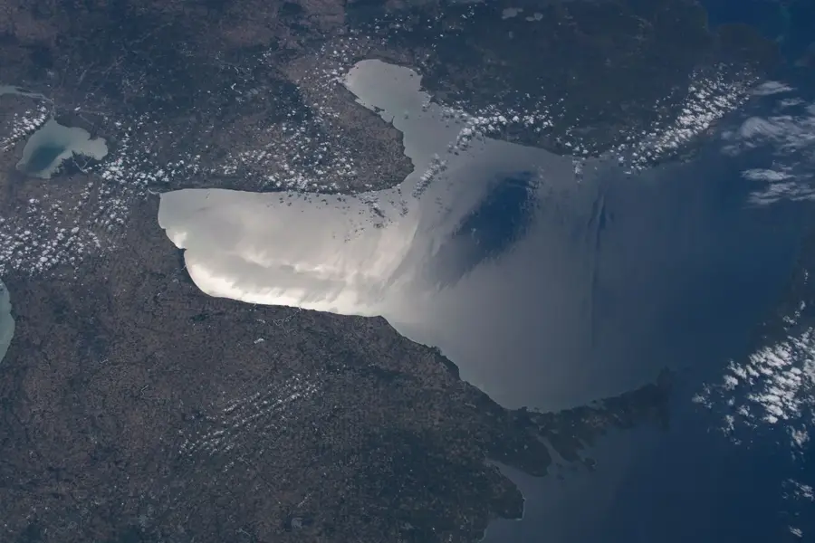
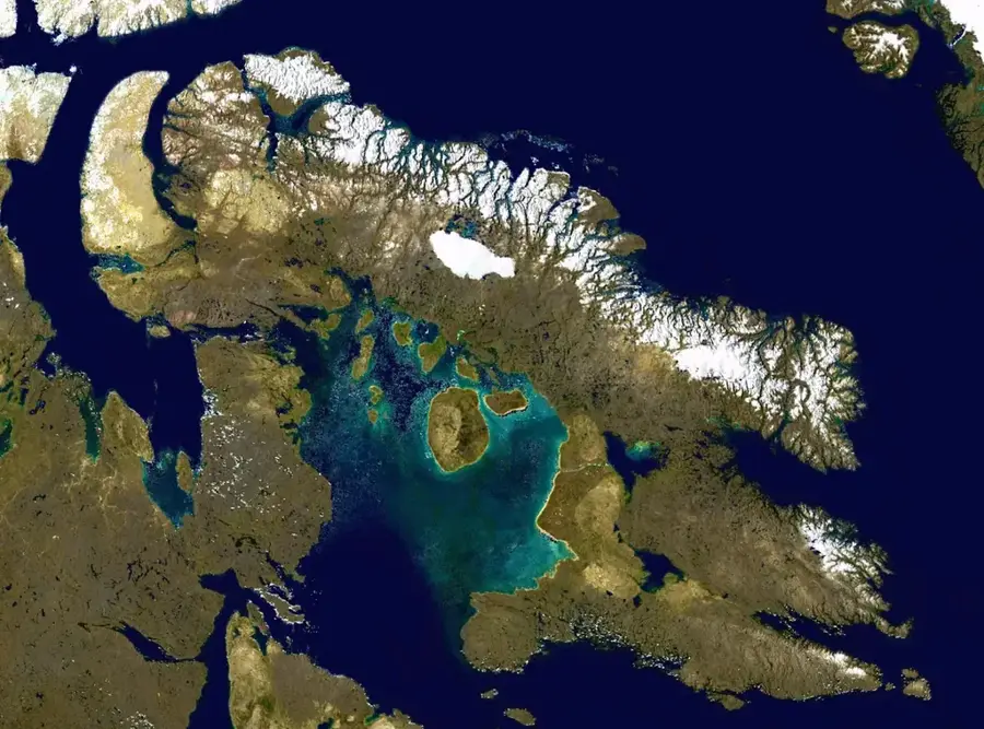
Baffin Island
Weather…
Water temperature…
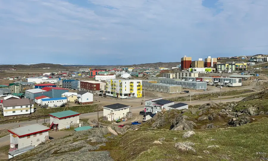
Baffin Island, located in the territory of Nunavut, is Canada's largest island and the fifth largest in the world. Situated within the Arctic Archipelago, it is defined by an extreme wilderness of glaciers, deep fjords, and the rugged Baffin Mountains. The island is home to Auyuittuq National Park, renowned for its dramatic peaks such as Mount Thor and Mount Asgard. The population is predominantly Inuit, residing in small settlements like the capital city of Iqaluit, maintaining deep cultural ties to the land and sea. The wildlife is distinctly Arctic, with polar bears, narwhals, belugas, and large caribou herds surviving in the harsh environment. Geologically, Baffin Island consists mainly of Precambrian rock from the Canadian Shield. The island plays a vital role in Arctic research, particularly concerning climate change and the recession of ice caps like the Penny Ice Cap. Economically, mining, most notably the Mary River iron mine, alongside ecotourism and traditional arts are significant. Accessibility is almost entirely restricted to air travel, which enhances its isolation and the preservation of its pristine natural state.
Best time to visit & climate
The most pleasant time to visit is Jun–Aug.
| Jan | Feb | Mar | Apr | May | Jun | Jul | Aug | Sep | Oct | Nov | Dec | |
|---|---|---|---|---|---|---|---|---|---|---|---|---|
| Avg °C | -31 | -31 | -27 | -18 | -8 | 0 | 5 | 3 | -4 | -12 | -21 | -27 |
| Rain mm | 16 | 12 | 19 | 26 | 46 | 68 | 80 | 83 | 61 | 59 | 36 | 23 |
📋 Practical info
Geography
Facts
- The island covers a total land area of 507,451 square kilometers.
- Mount Thor features the world's greatest vertical drop at 1,250 meters.
- Iqaluit was officially designated as a city as recently as 2001.
- The island is named after the English navigator and explorer William Baffin.
- Approximately 13,000 people live permanently across the entire island.
- The Mary River Mine exports high-grade iron ore across the North Atlantic.
Route planner — Car & Motorhome
Where do you start? We build the route here, with stops and country notes along the way.
© OpenStreetMap contributors · OpenRouteService
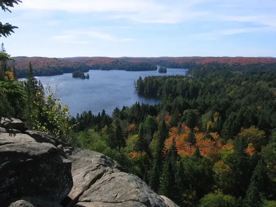
Sights nearby
Frequently asked questions
How do you get to Baffin Island?
What can you see there?
When can you see the Northern Lights?
Are there national parks?
What is the climate like?
Baffin Island: where is it located?
Baffin Island: when is the best time to visit?
Baffin Island: why is it worth visiting?

History & landmarks
More places