Plizio Visual Lab
Saint John River
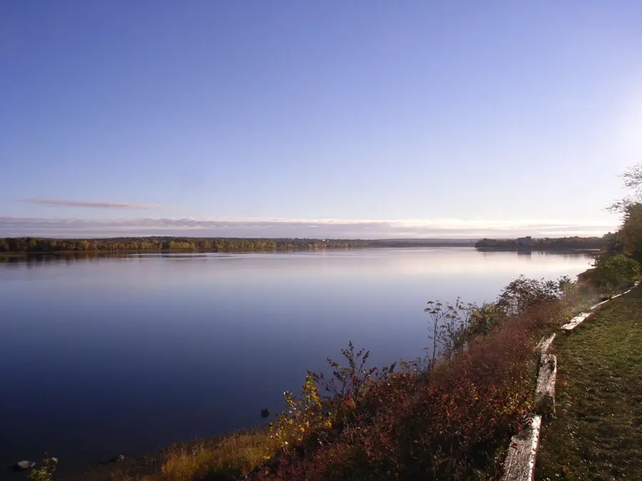
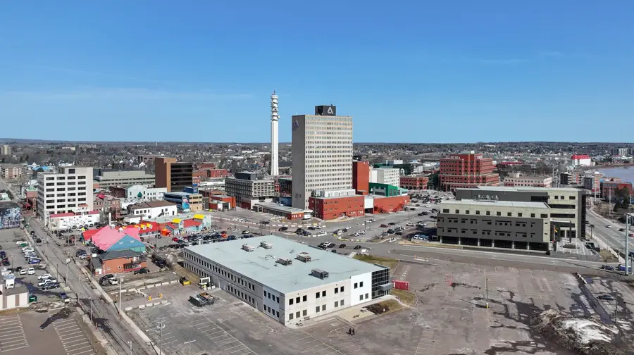
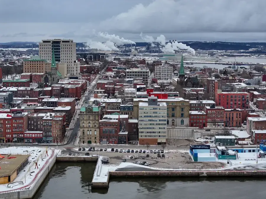
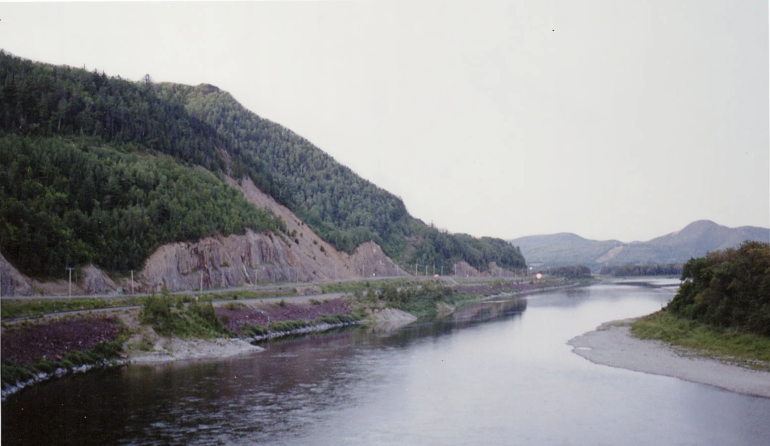
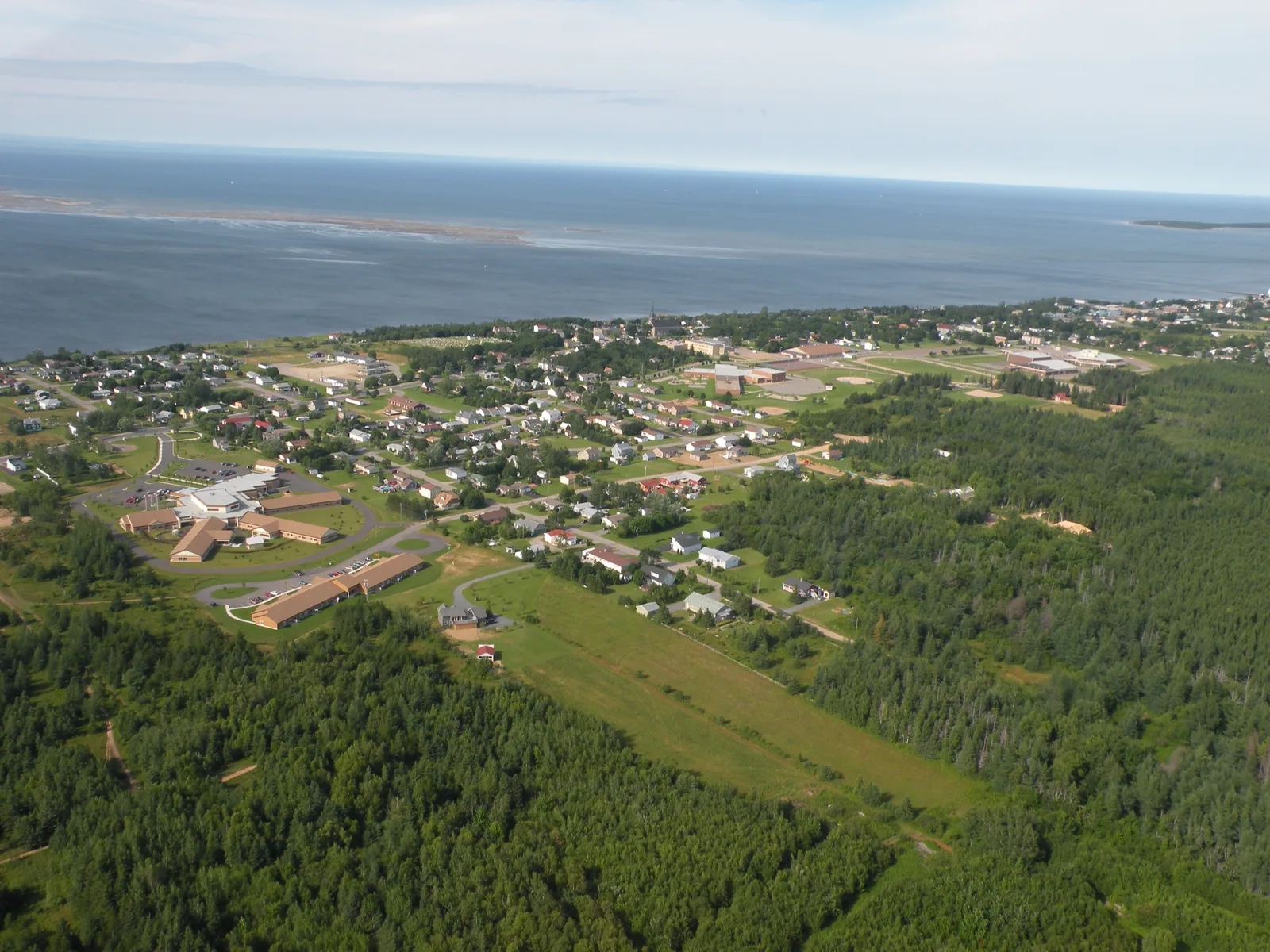
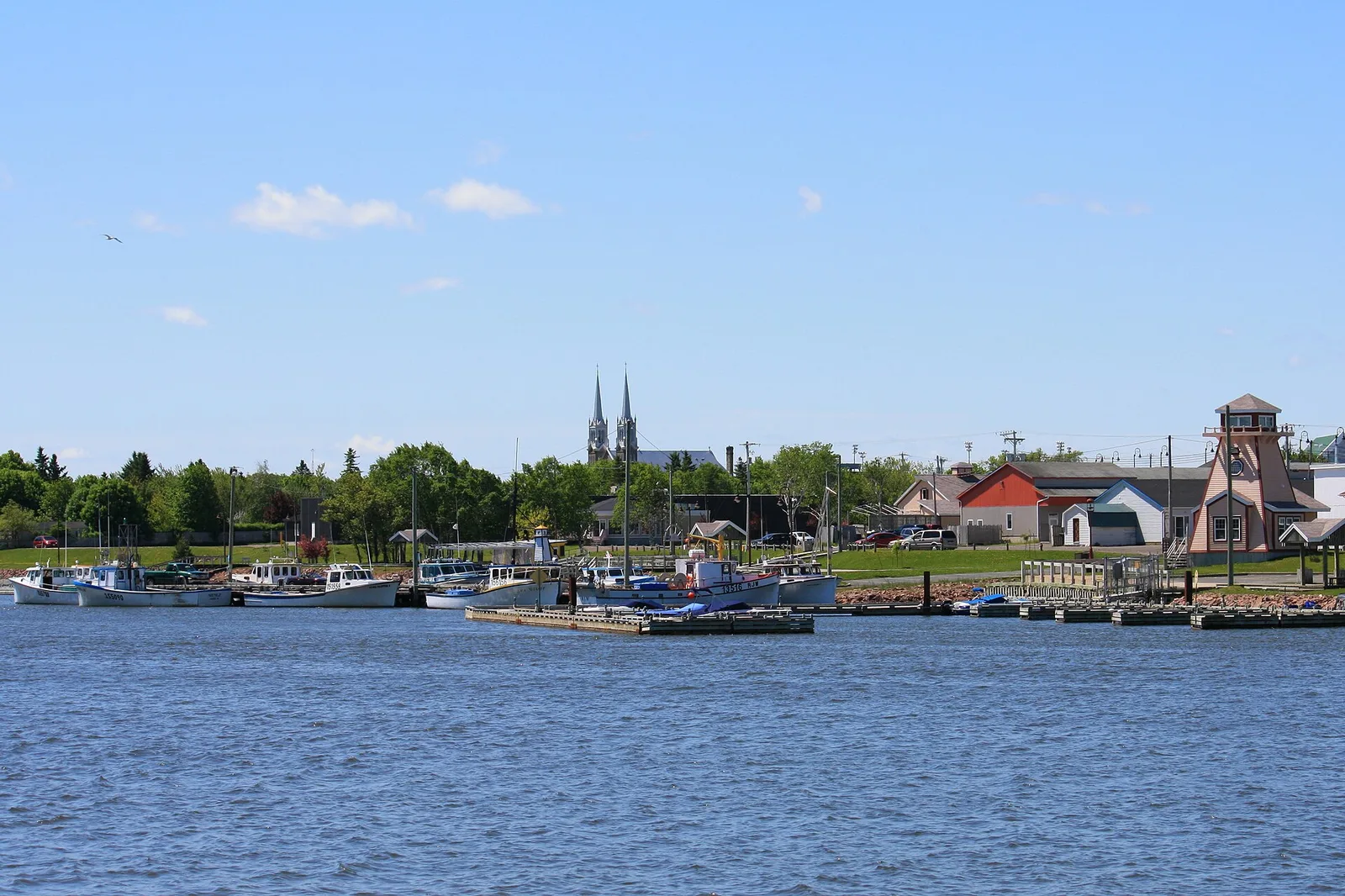
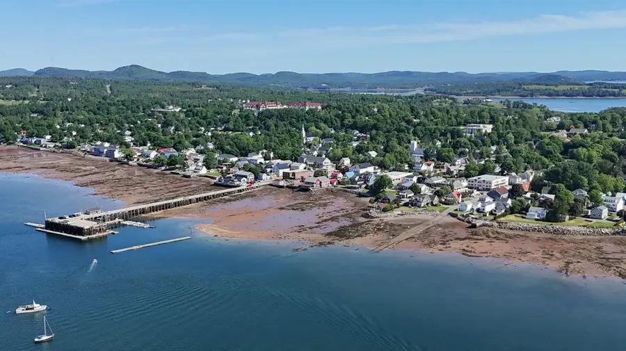
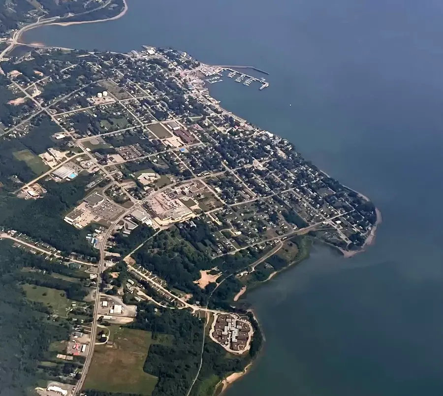
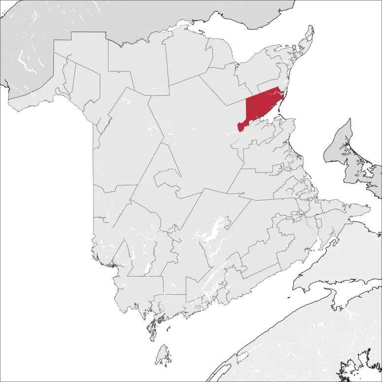
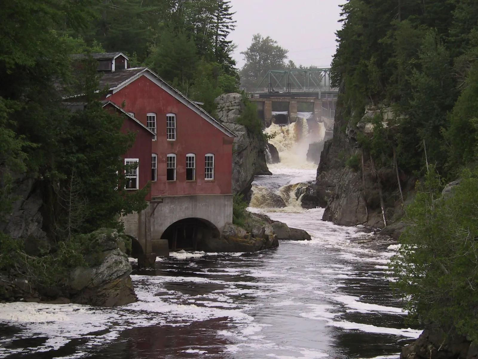
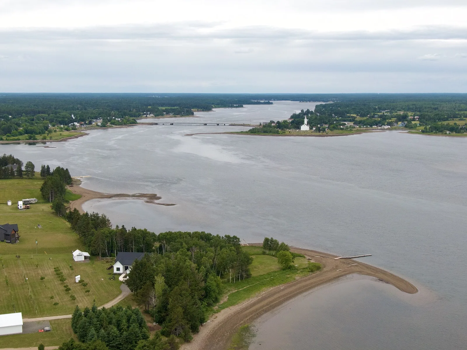
The Saint John River is a prominent waterway in northeastern North America, stretching approximately 673 kilometers (418 miles) from its headwaters. Originating in the northern Maine woods of the United States, it flows through the Canadian province of New Brunswick before emptying into the Bay of Fundy at the city of Saint John. The indigenous Wolastoqiyik people call the river Wolastoq, meaning "beautiful river," a name that reflects its historical and cultural significance to their ancient heritage. European contact was first documented in 1604 when Samuel de Champlain and Pierre Dugua de Mons arrived at its mouth on the feast day of Saint John the Baptist. The river basin covers an area of over 55,000 square kilometers and is essential for the region's forestry industry and hydroelectric power generation, notably at the massive Mactaquac Dam. A world-renowned phenomenon occurs at its mouth known as the Reversing Falls, where the massive tides of the Bay of Fundy force the river to flow upstream twice daily. The fertile Saint John River Valley is also a key agricultural hub, particularly famous for its extensive potato farming operations.
- Location: Canada
- Top sights: Lookout Point · Trinity Cross · Cobalt Art Gallery
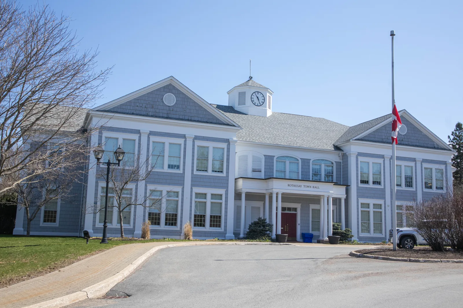
- Nearby: Rothesay (9 km)
Best time to visit & climate
The most pleasant time to visit is Jul–Sep.
| Jan | Feb | Mar | Apr | May | Jun | Jul | Aug | Sep | Oct | Nov | Dec | |
|---|---|---|---|---|---|---|---|---|---|---|---|---|
| Avg °C | -8 | -7 | -2 | 4 | 10 | 15 | 18 | 18 | 14 | 8 | 2 | -4 |
| Rain mm | 88 | 88 | 91 | 95 | 100 | 109 | 95 | 87 | 98 | 127 | 127 | 132 |
📋 Practical info
Geography
Facts
- The river spans a total length of approximately 673 kilometers.
- Its drainage basin covers an area exceeding 55,000 square kilometers.
- The river was named by Samuel de Champlain on June 24, 1604.
- The Reversing Falls phenomenon is caused by tides reaching up to 8 meters.
- The Mactaquac Dam is the primary source of hydroelectric power in the region.
- A portion of the river defines the international boundary between Canada and the US.
Explore nearby
Notable places around
Route planner — Car & Motorhome
Where do you start? We build the route here, with stops and country notes along the way.
© OpenStreetMap contributors · OpenRouteService
Sights in the town Saint John River (17)
Saint John Jewish Historical Museum🏛 museum
Museum documenting the Jewish history of Saint John, New Brunswick.
Sights nearby
Frequently asked questions
Where does the Saint John River flow?
What are the 'Reversing Falls'?
Is the valley known for agriculture?
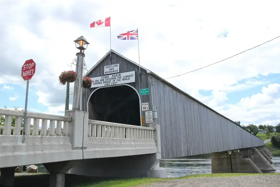
Are there covered bridges on the river?
Can you go boating on the river?
Saint John River: where is it located?
Saint John River: what is there to see?
Saint John River: when is the best time to visit?
Saint John River: why is it worth visiting?

Nearby cities