Plizio Visual Lab
White Volta
Weather…
Water temperature…
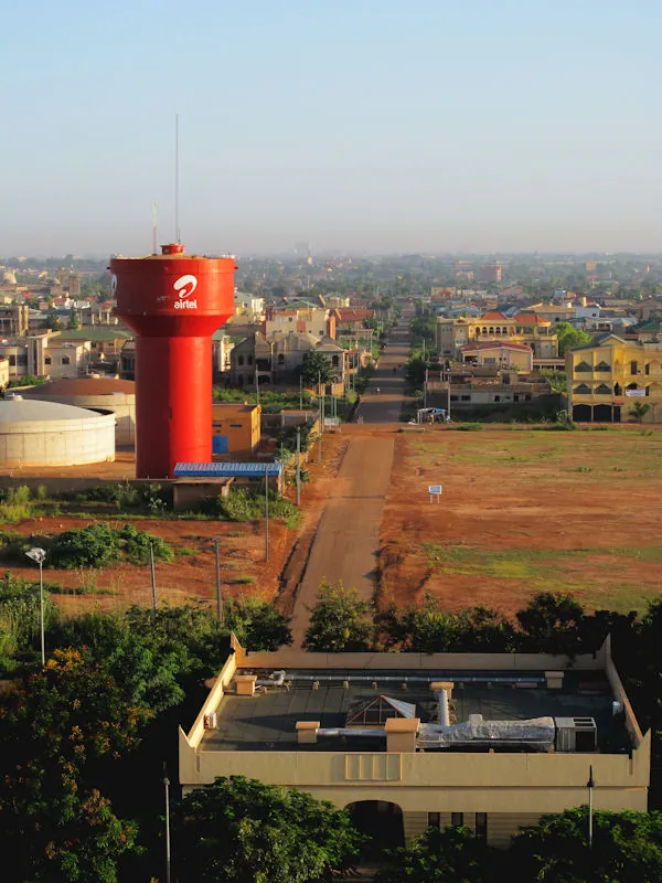
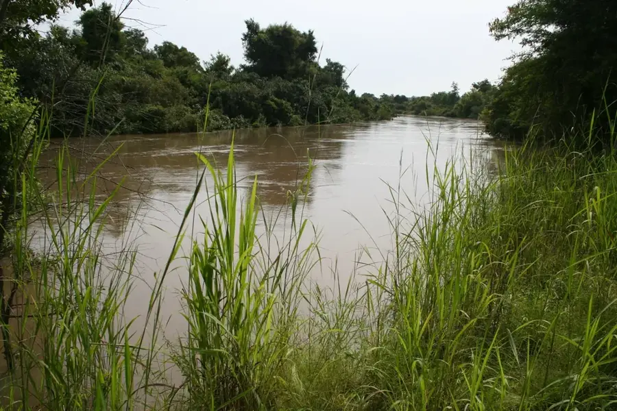
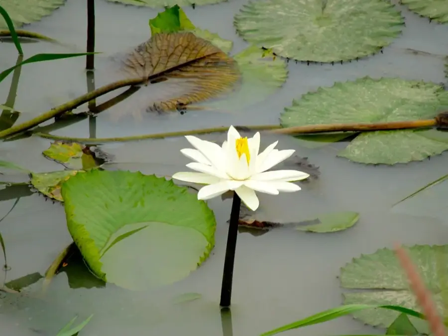
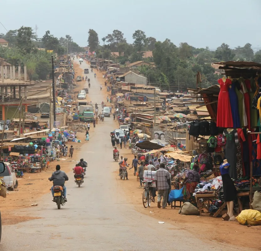
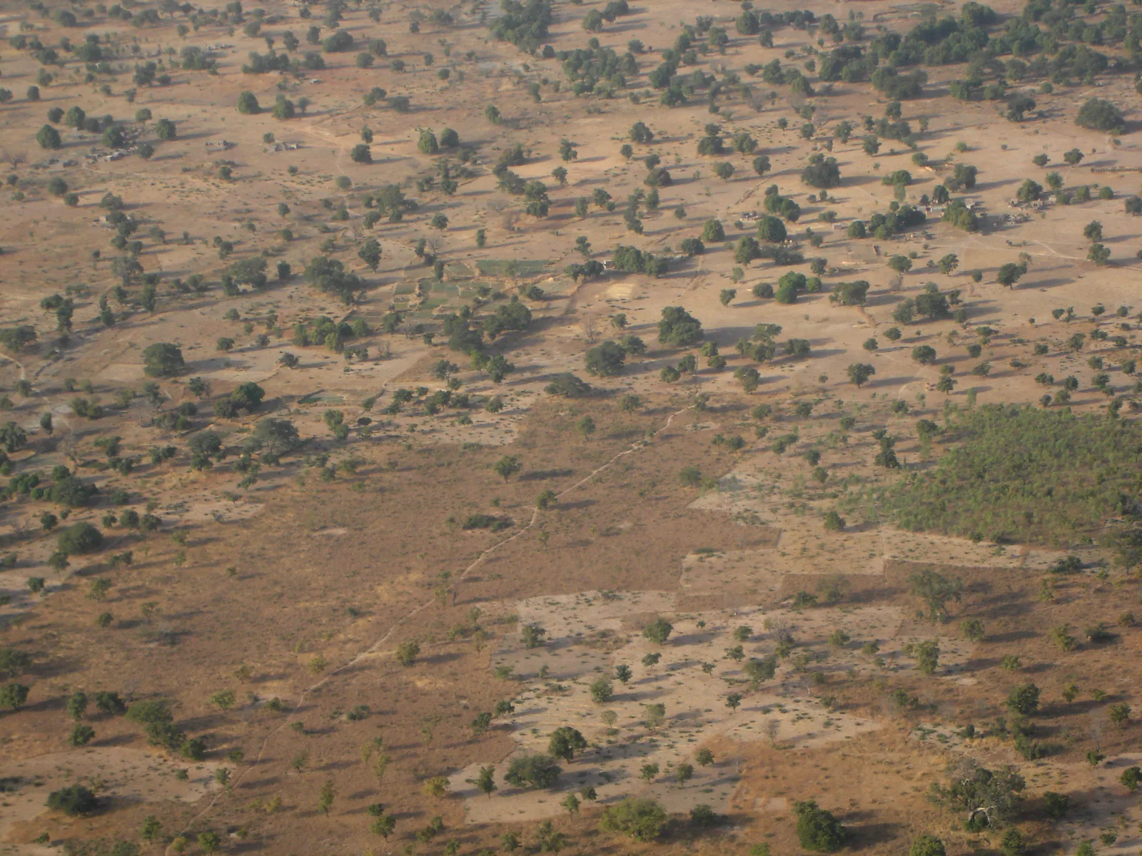
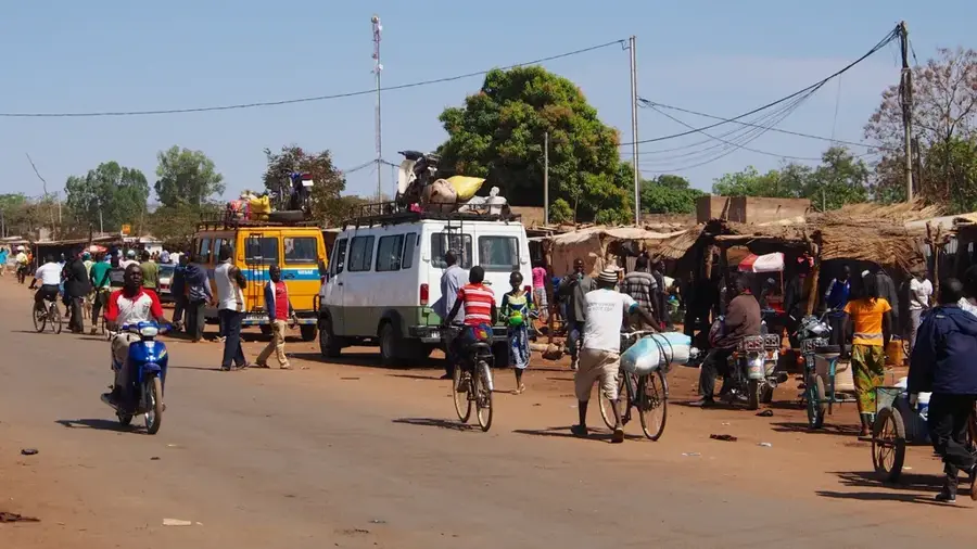
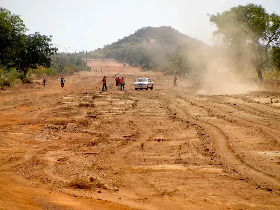
The White Volta, locally known as the Nakambé, is one of West Africa's most important rivers with a total length of approximately 1,140 kilometers, serving as the backbone of water supply for central Burkina Faso. It originates in the country's drier northern regions and flows southward across the central plateaus before crossing the border into Ghana. The river's flow is highly seasonal and is significantly regulated by the Bagré Dam, completed in 1994, which serves both hydroelectric power generation and large-scale irrigation. The river valley is densely populated and represents one of the country's most productive agricultural zones, where rice, onions, and various vegetables are grown. Ecologically, the riparian zones form crucial gallery forests that provide refuge for many animal species despite intensive land use. However, the river is threatened by increasing siltation and pollution from agricultural fertilizers. In recent years, climate fluctuations have led to more extreme flooding and longer droughts, posing major challenges for water resource management. Nevertheless, the White Volta remains the life-giving element for millions of people in Burkina Faso's central and eastern regions.
- Location: Burkina Faso
- Nearby: Kombissiri (8 km)
Best time to visit & climate
The most pleasant time to visit is Jan, Nov, Dec.
| Jan | Feb | Mar | Apr | May | Jun | Jul | Aug | Sep | Oct | Nov | Dec | |
|---|---|---|---|---|---|---|---|---|---|---|---|---|
| Avg °C | 24 | 27 | 31 | 32 | 32 | 29 | 27 | 26 | 26 | 28 | 27 | 24 |
| Rain mm | 1 | 2 | 4 | 38 | 69 | 97 | 173 | 236 | 156 | 49 | 1 | 0 |
📋 Practical info
Geography
Facts
- Total length: 1,140 km (about 700 miles)
- Local name: Nakambé River
- Key infrastructure: Bagré Dam, completed in 1994
- Basin area: Over 100,000 km²
- Flow pattern: Highly seasonal, peaking August to October
- Economy: Hub for rice and vegetable cultivation in Burkina Faso
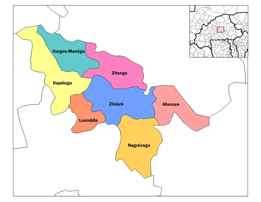
Explore nearby
Notable places around
Route planner — Car & Motorhome
Where do you start? We build the route here, with stops and country notes along the way.
© OpenStreetMap contributors · OpenRouteService
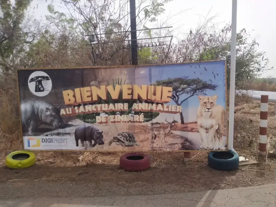
Sights in the town White Volta (1)
Sights nearby
Frequently asked questions
Where does the river originate?
Are there boat trips?
What fish are in the river?
Is the water clean?
How wide is the river?
White Volta: where is it located?
White Volta: when is the best time to visit?
White Volta: why is it worth visiting?

Nearby cities


History & landmarks
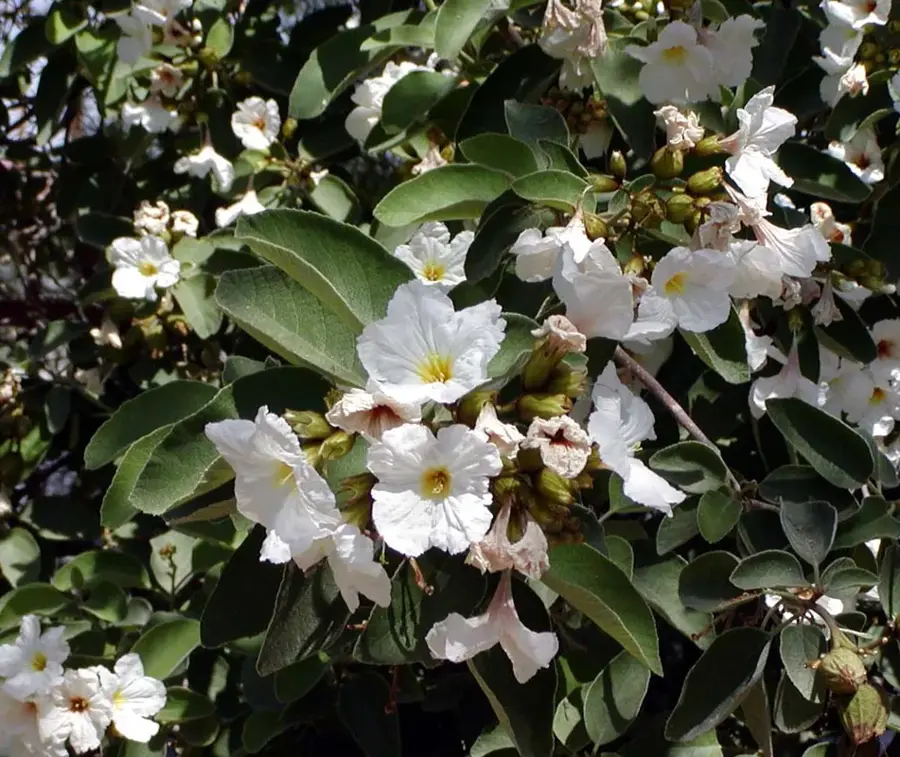
Nature
More places