Plizio Visual Lab
Sugarloaf Mountain
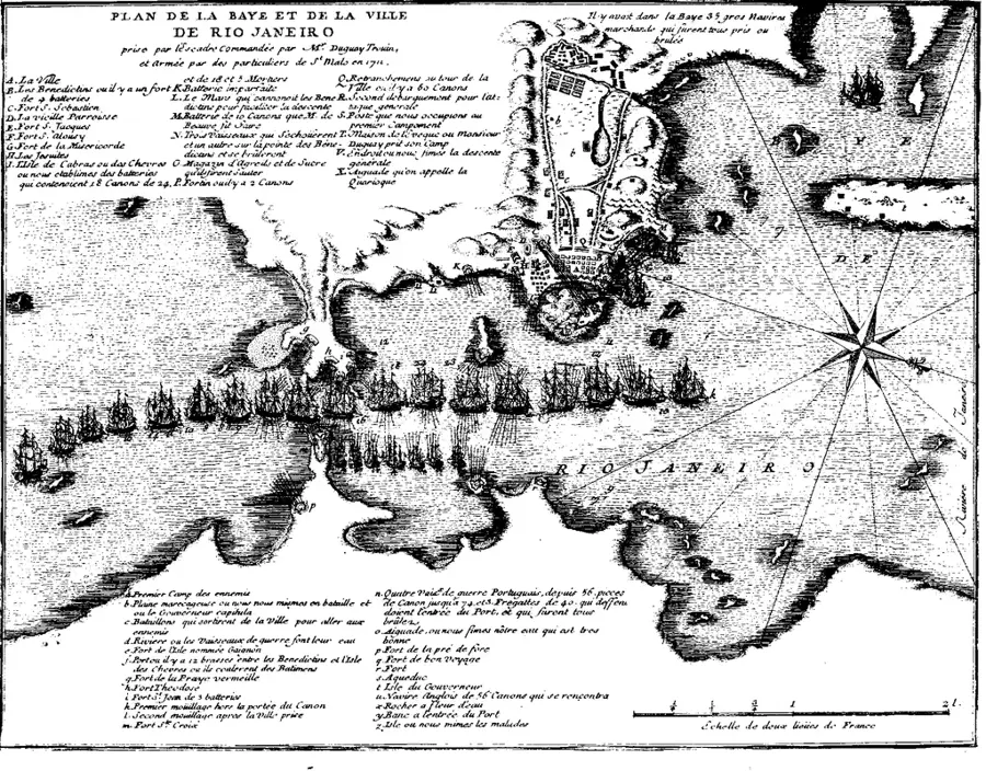
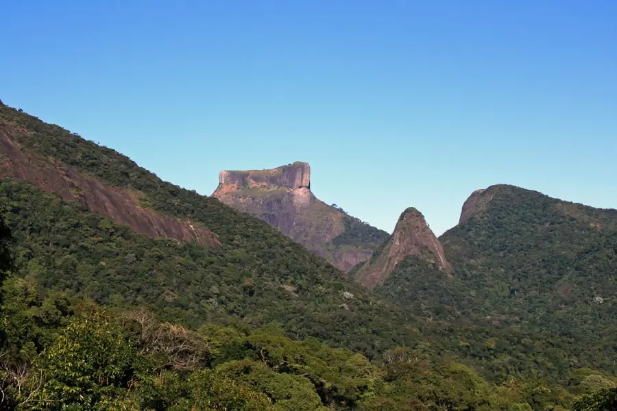
Sugarloaf Mountain (Pão de Açúcar) is an iconic peak situated at the mouth of Guanabara Bay in Rio de Janeiro, rising 396 meters above the Atlantic Ocean. This granite and gneiss monolith was formed roughly 600 million years ago through tectonic activity during the Precambrian period. Its name dates back to the 16th century, referring to the conical shape of 'sugarloaves' used to transport refined sugar by sea. The summit was made accessible to the public in 1912 with the opening of a cable car system, the 'Bondinho,' which was one of the first of its kind globally and has since carried millions of passengers. In 2012, the mountain was designated a UNESCO World Heritage site as part of Rio's cultural landscape. Beyond tourism, Sugarloaf is a world-class destination for rock climbing, featuring over 270 established routes across its steep, smooth stone faces.
- Location: Brazil
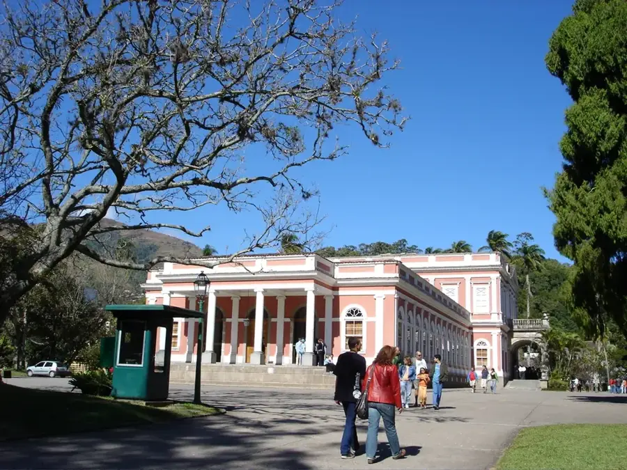
- Top sights: Forte Tamandaré da Lage · Forte Duque de Caxias · Earth Science Museum
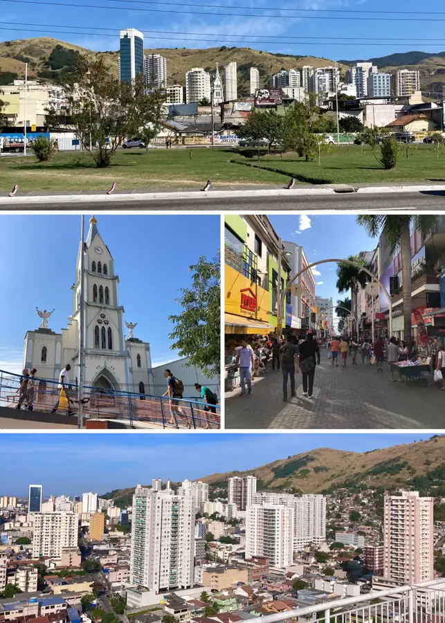
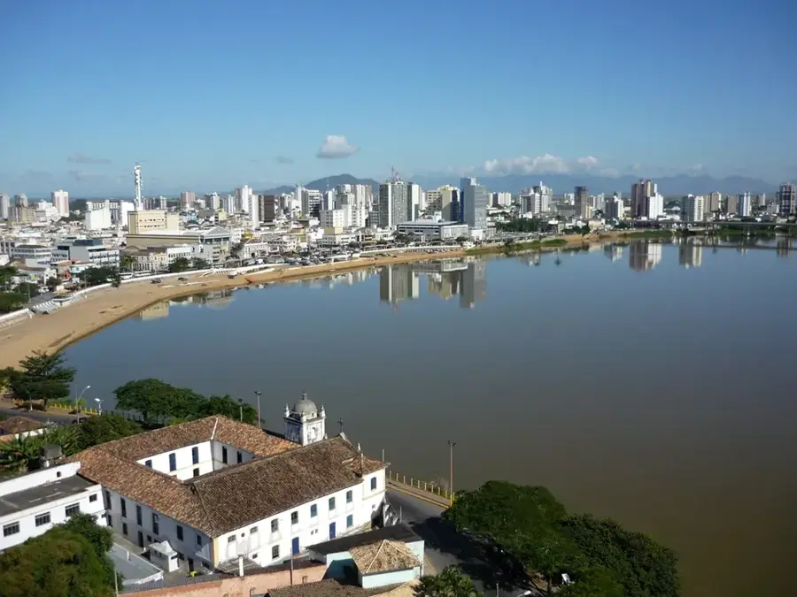
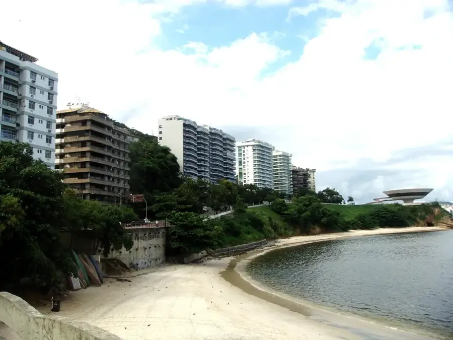
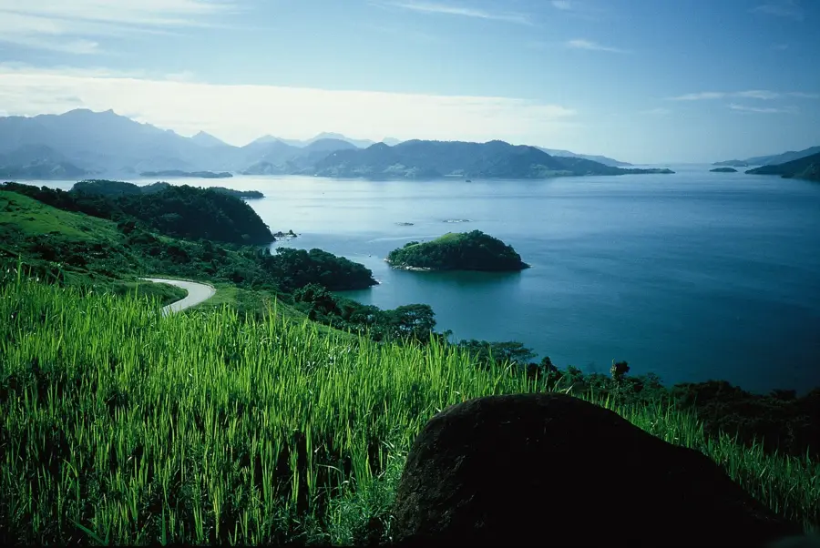
- Nearby: Niterói (6 km)
Best time to visit & climate
The most pleasant time to visit is Jun–Aug.
| Jan | Feb | Mar | Apr | May | Jun | Jul | Aug | Sep | Oct | Nov | Dec | |
|---|---|---|---|---|---|---|---|---|---|---|---|---|
| Avg °C | 26 | 26 | 25 | 24 | 22 | 22 | 21 | 21 | 22 | 23 | 23 | 25 |
| Rain mm | 208 | 152 | 173 | 101 | 71 | 49 | 45 | 42 | 69 | 108 | 220 | 232 |
📋 Practical info
Geography
Facts
- The mountain rises to a height of 396 meters
- Formed from 600-million-year-old granite and gneiss
- The first cable car line was inaugurated in 1912
- Designated as a UNESCO World Heritage site in 2012
- Named after the conical sugar molds used in the 16th century
- Features more than 270 distinct rock climbing routes
Explore nearby
Notable places around
Route planner — Car & Motorhome
Where do you start? We build the route here, with stops and country notes along the way.
© OpenStreetMap contributors · OpenRouteService
Sights in the town Sugarloaf Mountain (18)
Sights nearby
Frequently asked questions
How do you get to Sugarloaf Mountain?
When is the best time to visit?
Should you buy tickets in advance?
Can you hike up the mountain?
Are there restaurants at the summit?
Sugarloaf Mountain: where is it located?
Sugarloaf Mountain: what is there to see?
Sugarloaf Mountain: when is the best time to visit?
Sugarloaf Mountain: why is it worth visiting?

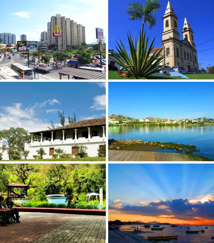
Nearby cities


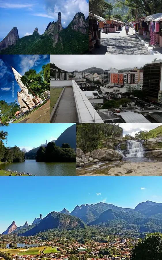
History & landmarks


More places