Plizio Visual Lab
Una National Park

Weather…
Water temperature…
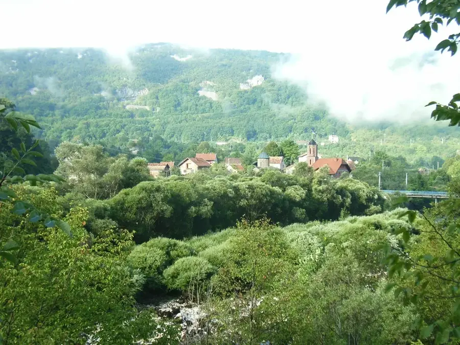
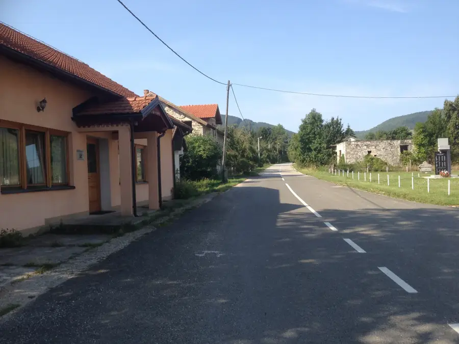
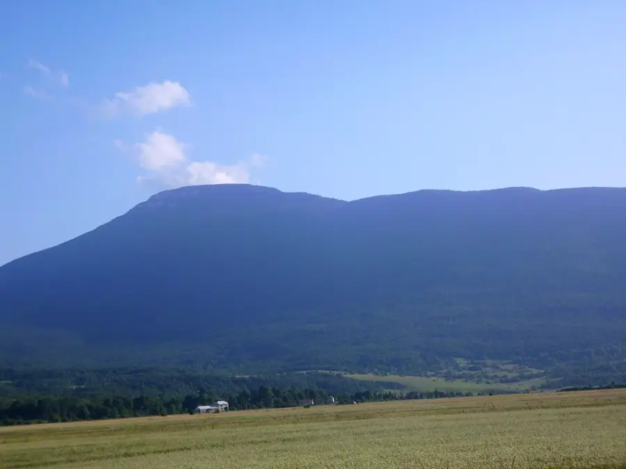
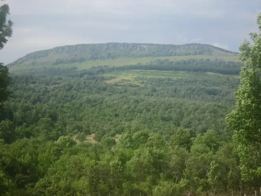
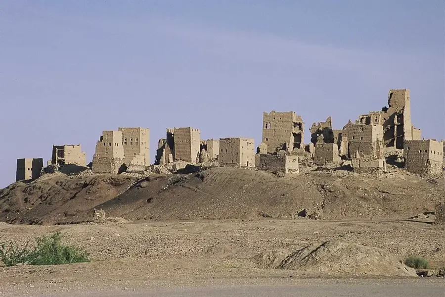
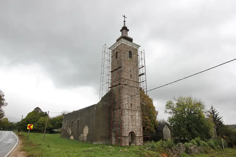
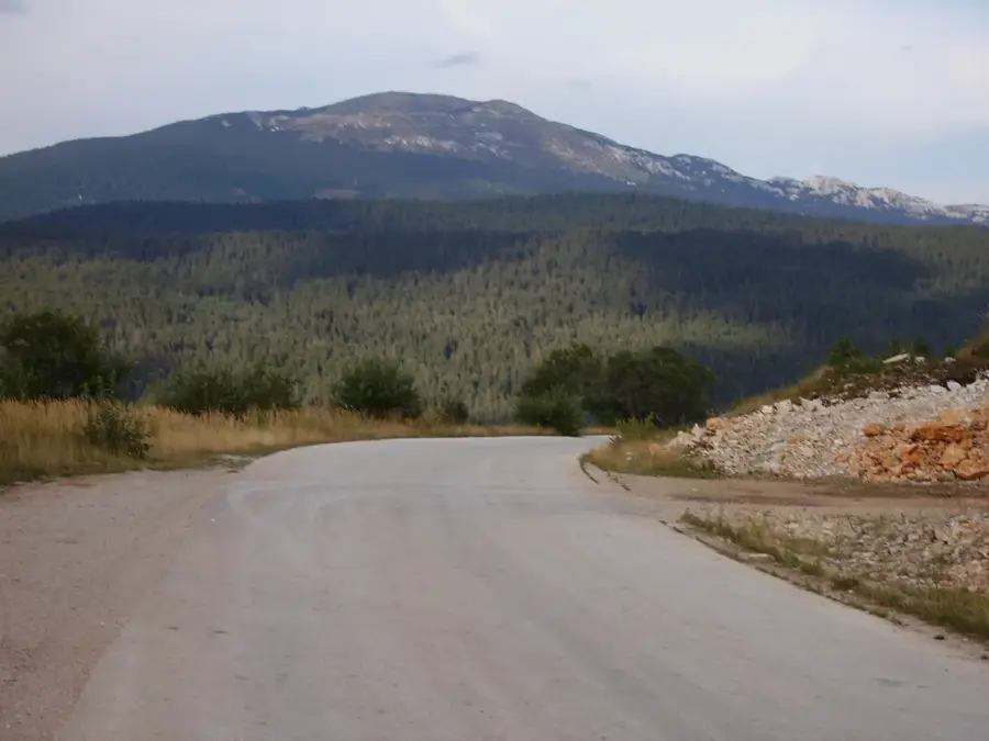
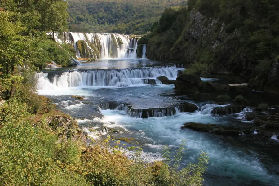
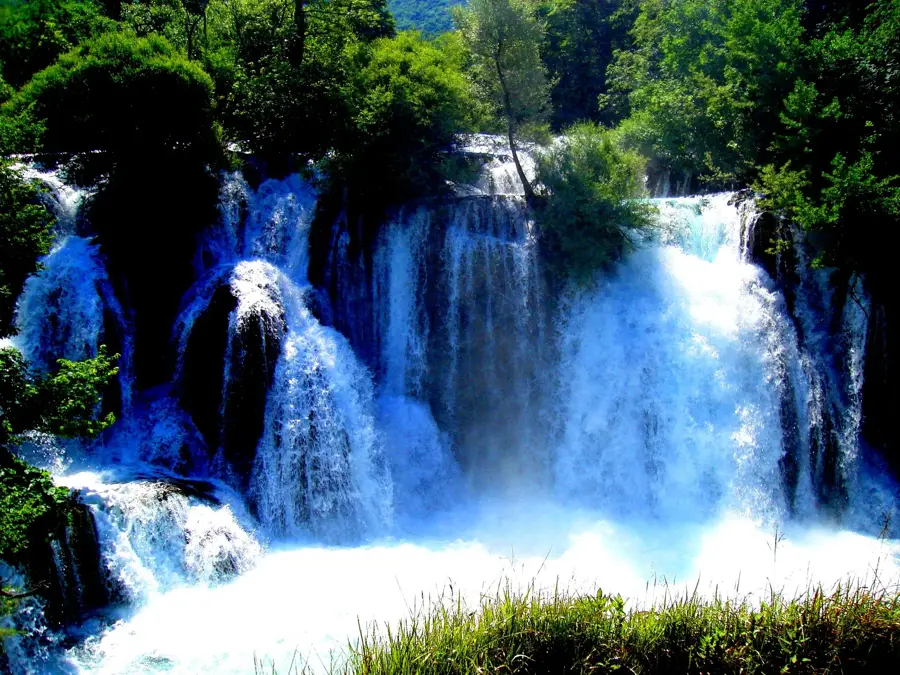
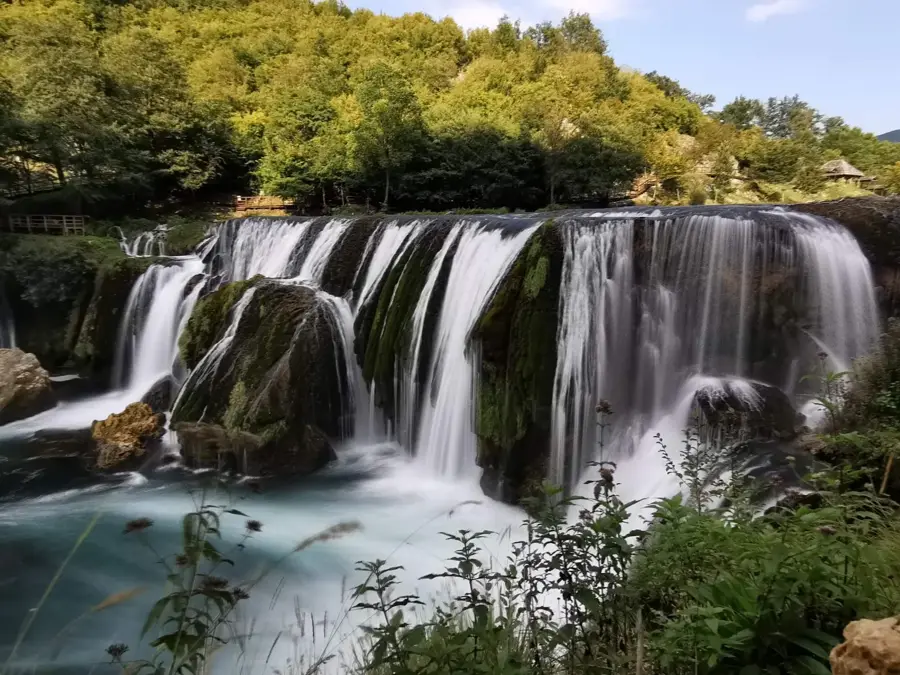
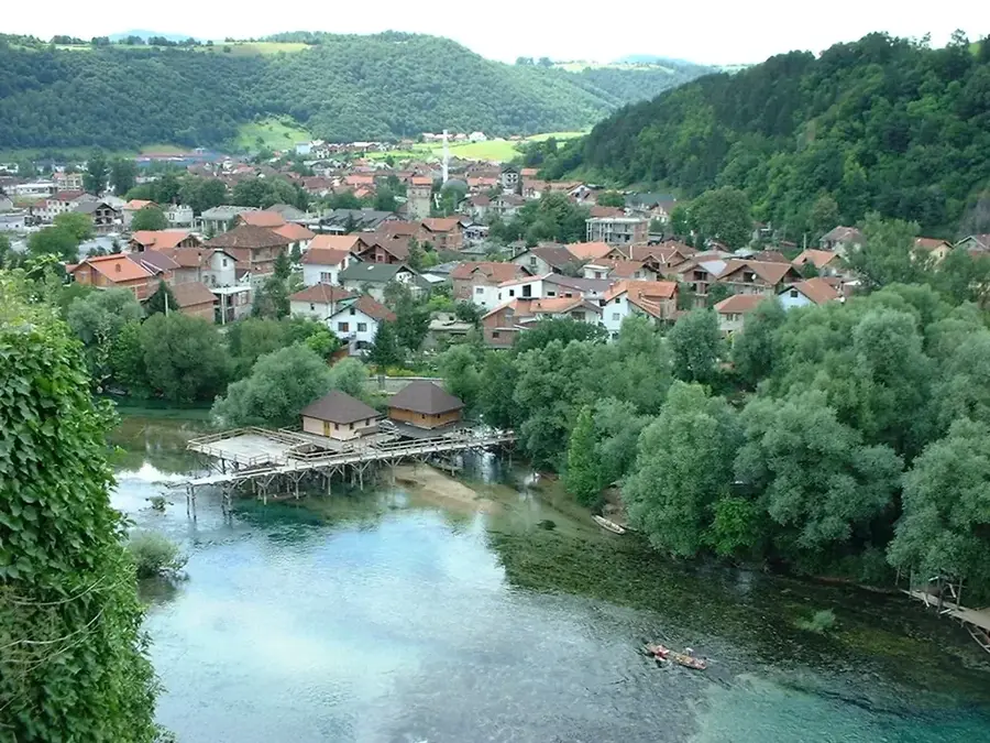
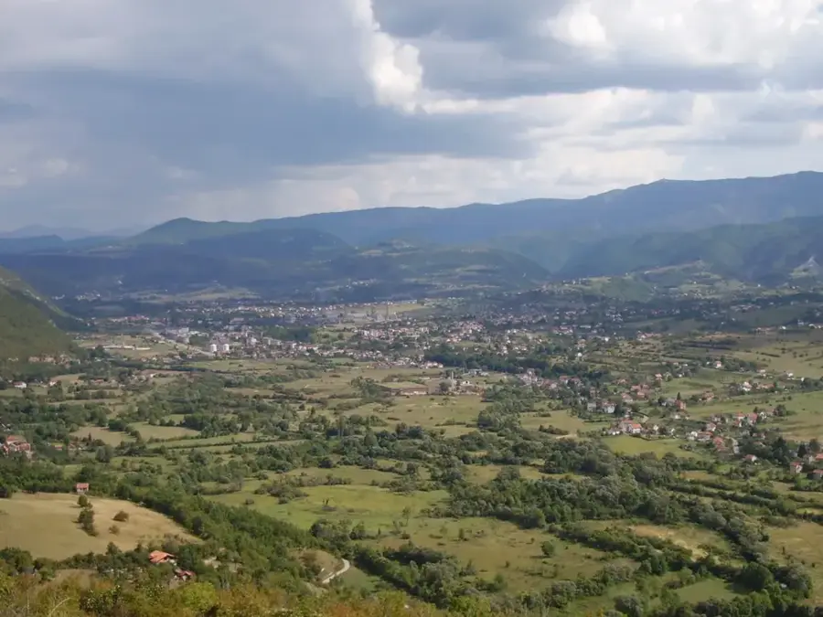
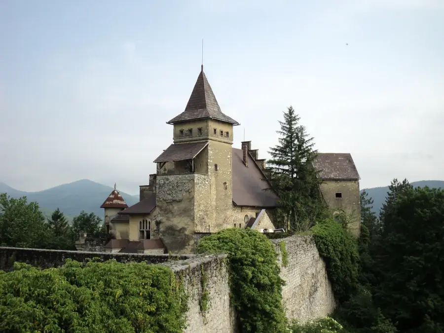
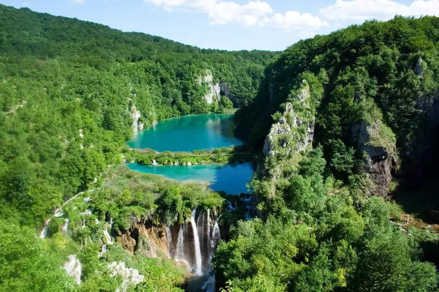
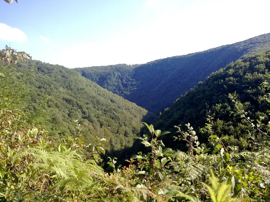
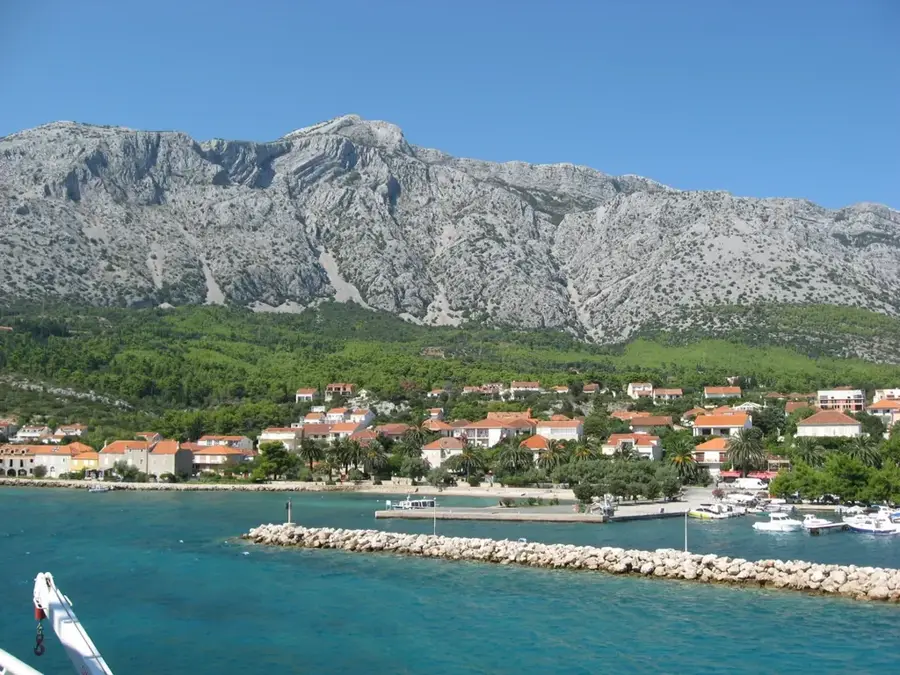
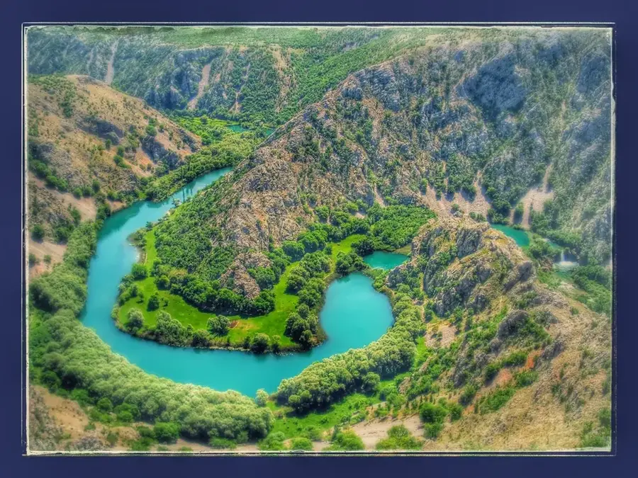
Una National Park, established in 2008, is located in the northwestern part of Bosnia and Herzegovina near the city of Bihać. The park covers the upper reaches of the Una and Unac rivers, preserving a unique fluvial landscape characterized by dramatic waterfalls and deep canyons. The most famous landmark within the park is Štrbački buk, a 24.5-meter high waterfall formed by tectonic activity and limestone deposits. The region is celebrated for its extraordinary biodiversity, including numerous endemic plant species and a rich aquatic fauna that makes it a world-class destination for fly fishing. Historically, the Una valley has been inhabited since ancient times, with ruins of Roman settlements and medieval fortresses like Ostrovica dotting the landscape. The park plays a crucial role in regional sustainable tourism, offering activities such as rafting, hiking, and nature photography while maintaining strict conservation standards. The pristine quality of the water, known for its distinct emerald green hue, is a primary focus of the park's environmental protection efforts.
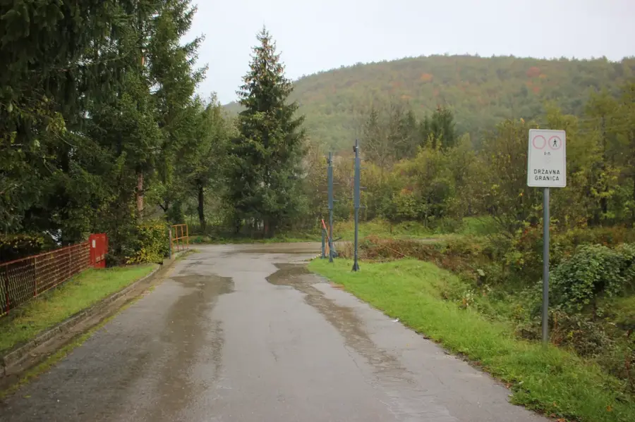
- Location: Bosnia and Herzegovina
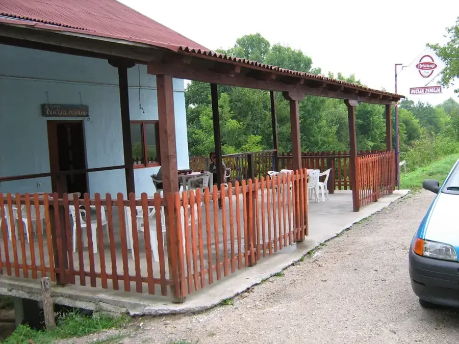
- Top sights: Piloti · Havala
- Nearby: Štrbački Buk (9 km)
Best time to visit & climate
The most pleasant time to visit is Jun–Aug.
| Jan | Feb | Mar | Apr | May | Jun | Jul | Aug | Sep | Oct | Nov | Dec | |
|---|---|---|---|---|---|---|---|---|---|---|---|---|
| Avg °C | -1 | 0 | 4 | 9 | 13 | 17 | 19 | 20 | 14 | 10 | 5 | 1 |
| Rain mm | 92 | 92 | 80 | 82 | 89 | 76 | 54 | 71 | 113 | 105 | 129 | 109 |
📋 Practical info
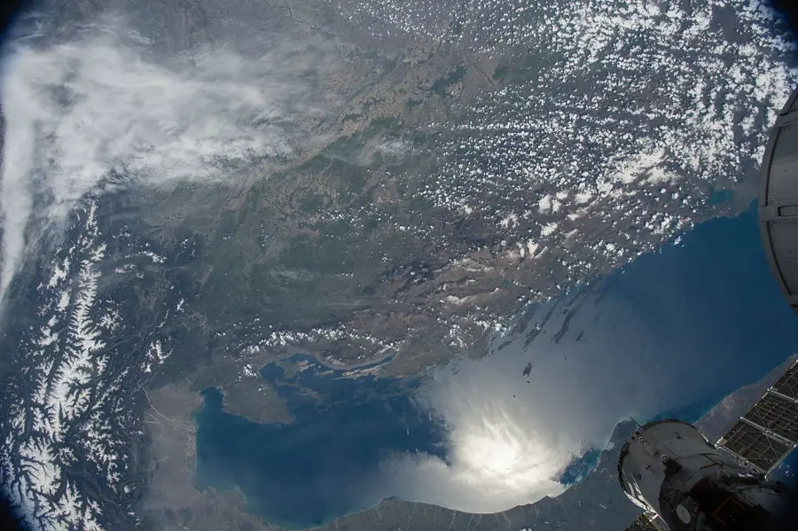
Geography
Facts
- National Park status granted in the year 2008
- Štrbački buk waterfall stands at 24.5 meters high
- Total area of the park is approximately 198 sq km
- Protects the valleys of the Una and Unac rivers
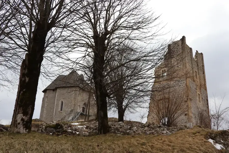
- Contains the medieval Ostrovica fortress
- Major center for international rafting events
Explore nearby
Notable places around
Route planner — Car & Motorhome
Where do you start? We build the route here, with stops and country notes along the way.
© OpenStreetMap contributors · OpenRouteService
Sights in the town Una National Park (2)
Sights nearby
Frequently asked questions
What is the highlight of Una National Park?
Is rafting possible in the national park?
How much does it cost to enter the park?
Are the paths accessible?
Are there picnic spots?
Una National Park: where is it located?
Una National Park: what is there to see?
Una National Park: when is the best time to visit?
Una National Park: why is it worth visiting?
Nearby cities
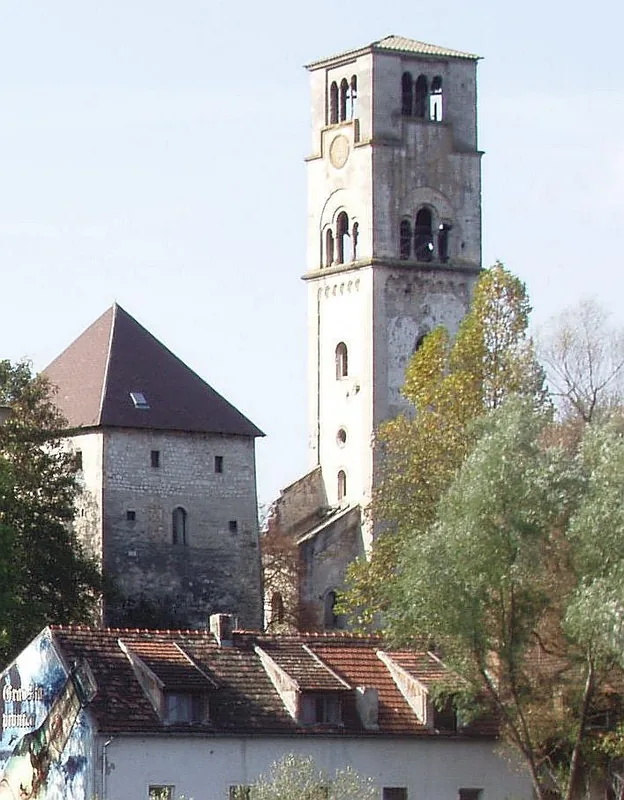

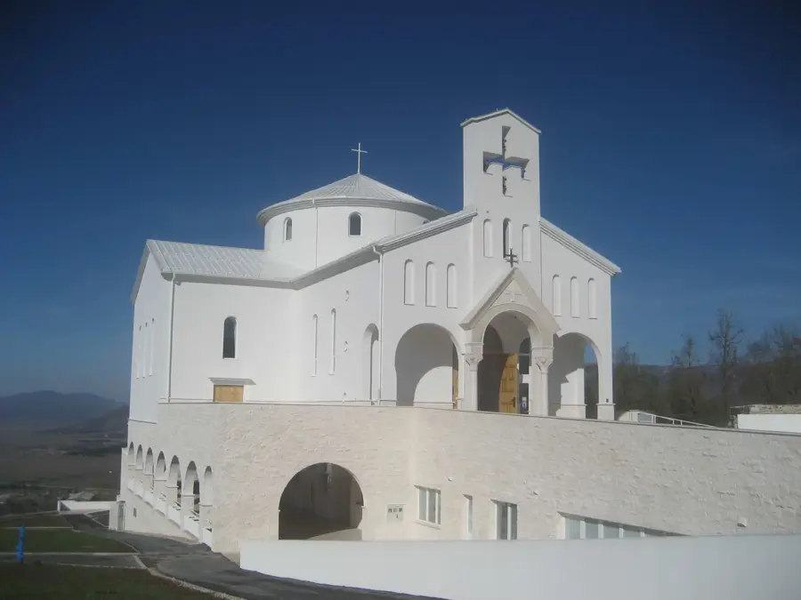
History & landmarks
Nature

More places