Plizio Visual Lab
Bliha Waterfall

Weather…
Water temperature…
The Bliha Waterfall, often referred to as "Blihin skok" (Bliha's Jump), is a remarkable natural monument located near Sanski Most in northwestern Bosnia and Herzegovina. It is formed by the Bliha River, which plunges from a height of approximately 56 meters over a sheer limestone cliff into a deep, crystal-clear pool below. The roar of the falling water and the fine mist it creates generate a mystical atmosphere within the narrow, forested canyon that shelters the site. The waterfall has been officially designated as a protected natural monument and is accessible via a well-maintained walking trail that leads through pristine surroundings. During the spring thaw, the waterfall reaches its peak volume, offering a powerful and spectacular display of nature's force. Geologically, the formation is a classic example of karst activity, where water has sculpted the soft limestone over millennia. The surrounding area also features several caves and hiking paths, making it an under-the-radar destination for eco-tourism and nature photography enthusiasts seeking tranquil beauty.
Explore on the map
How well do you know Bosnia and Herzegovina?
Find cities, landscapes and regions in 10 varied challenges on the interactive map.
Your journey, your memory
A postcard from Bliha Waterfall
Turn your own photo into a personal postcard with a local stamp. Free and no sign-up required.
Create a postcard- Location: Bosnia and Herzegovina
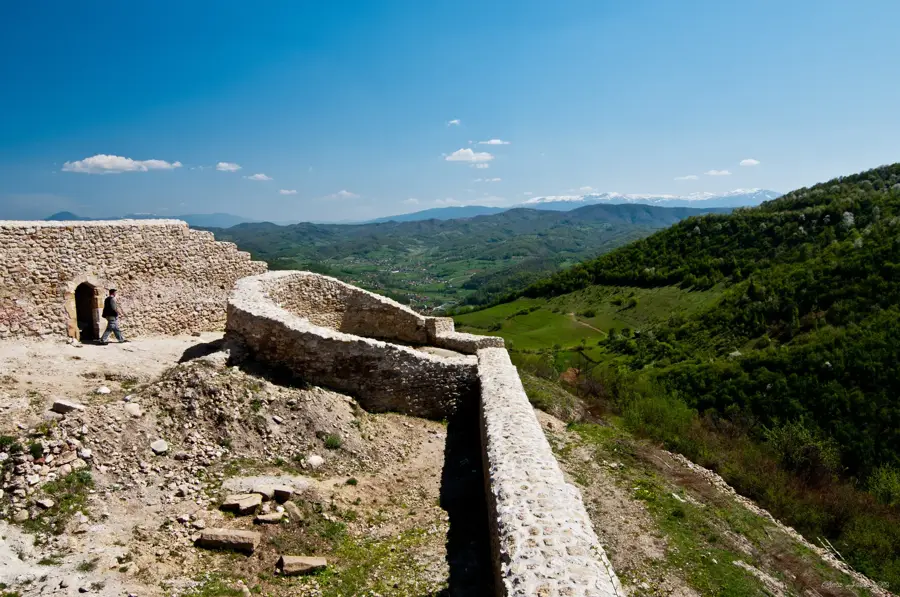
- Highlights: Tvrđava Stari Grad · Spomenik turskim šehidima · Fatihova Musalla
- Nearby: Sanski Most (10 km)
Best time to visit & climate
The most pleasant time to visit is Jun–Aug.
| Jan | Feb | Mar | Apr | May | Jun | Jul | Aug | Sep | Oct | Nov | Dec | |
|---|---|---|---|---|---|---|---|---|---|---|---|---|
| Avg °C | 0 | 1 | 6 | 11 | 15 | 19 | 22 | 22 | 16 | 11 | 6 | 1 |
| Rain mm | 81 | 85 | 77 | 82 | 103 | 86 | 69 | 82 | 121 | 104 | 114 | 92 |
📋 Practical info
Geography
Facts
- The waterfall is located 14 kilometers west of the town of Sanski Most.
- The water plunges from a total height of 56 meters.
- The waterfall was designated as a geomorphological natural monument as early as 1954.
- It is situated in a canyon surrounded by dense mixed forest.
- The water temperature remains very low even during the peak of summer.
- The hiking trail to the waterfall was recently modernized and improved for safety.
Explore nearby
Notable places around
Route planner — Car & Motorhome
Where do you start? We build the route here, with stops and country notes along the way.
© OpenStreetMap contributors · OpenRouteService
Sights in the town Bliha Waterfall (3)
Sights nearby
Frequently asked questions
How high is the Bliha Waterfall?
How do you reach the waterfall?
Are there dining facilities at the waterfall?
When does the waterfall have the most water?
Is the trail suitable for children?
Bliha Waterfall: where is it located?
Bliha Waterfall: what is there to see?
Bliha Waterfall: when is the best time to visit?
Bliha Waterfall: why is it worth visiting?
Nearby cities