Plizio Visual Lab
Tucabaca Valley Reserve
Weather…
Water temperature…
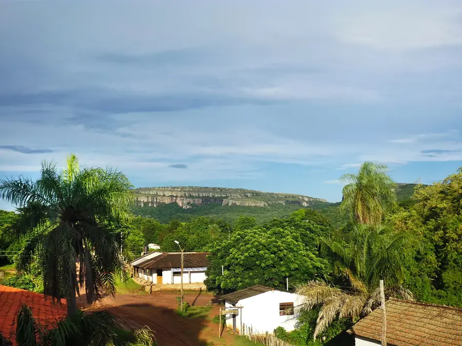
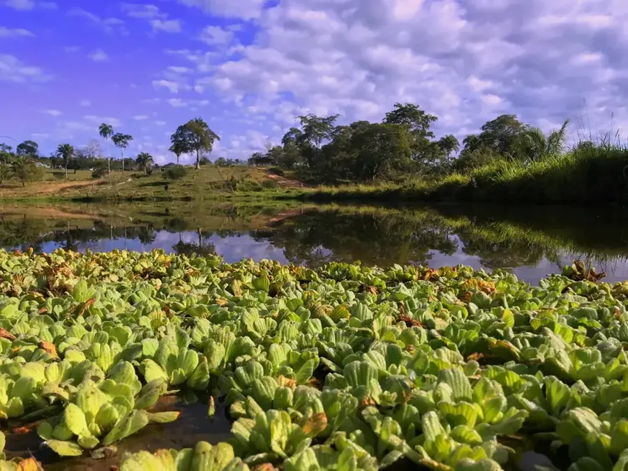
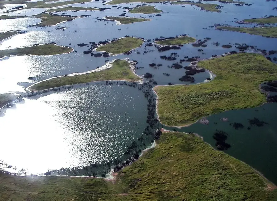
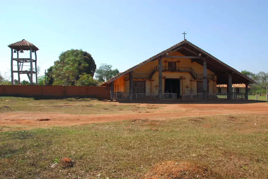
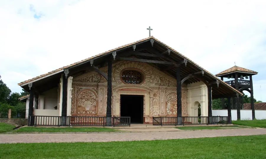
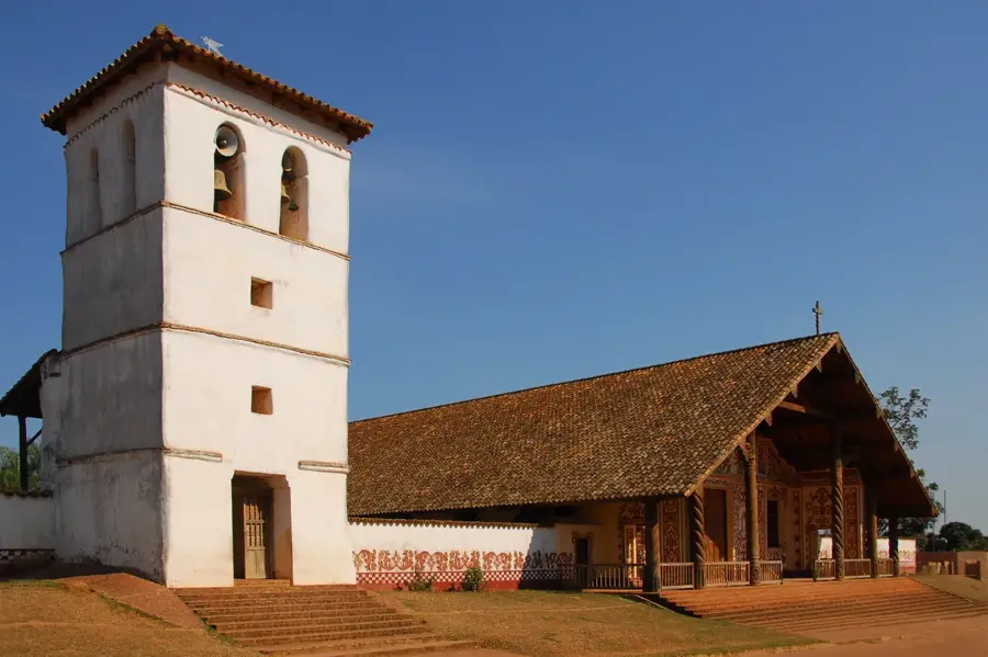
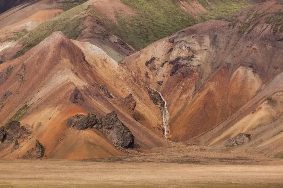
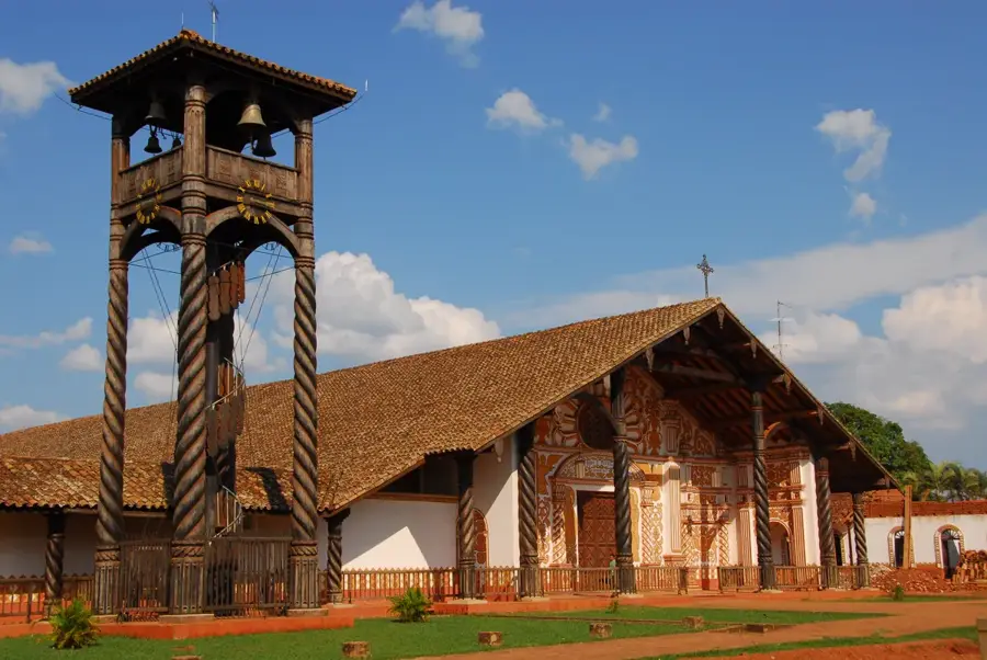
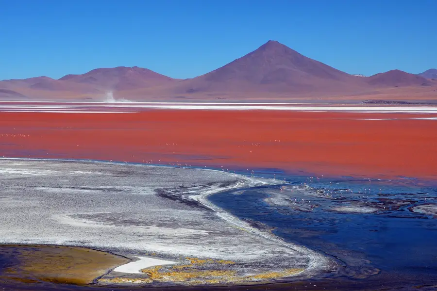
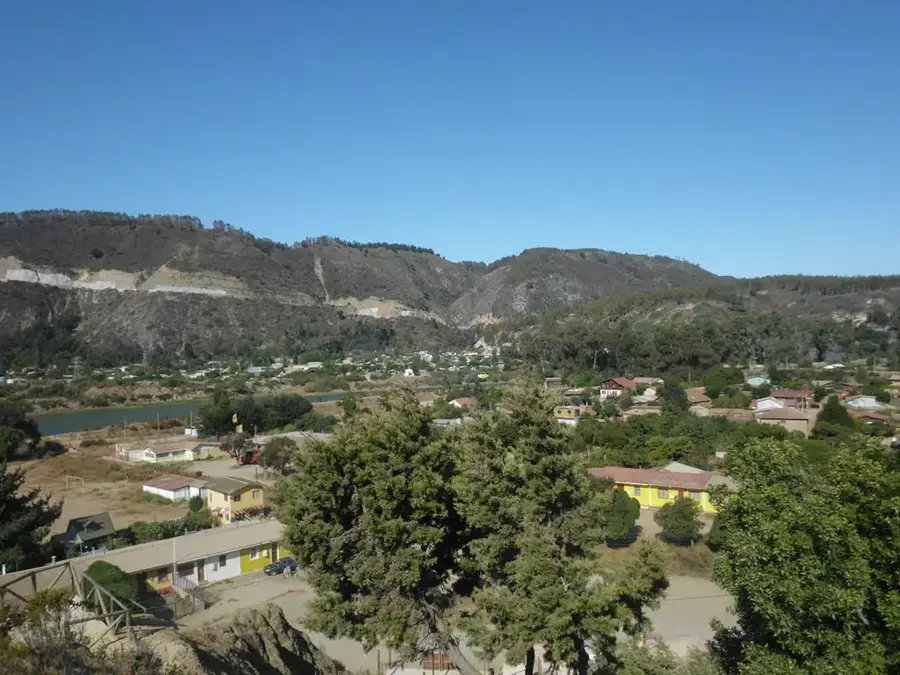
The Tucabaca Valley Municipal Reserve in the Santa Cruz Department protects one of Bolivia's most precious ecosystems: the Chiquitano Dry Forest. This area is regarded as the best-preserved tropical dry forest in the world and sustains an extraordinary level of biodiversity. The reserve encompasses the Serranía de Santiago, a mountain range featuring spectacular rock formations and caves containing rock paintings that date back thousands of years. From the viewpoints above the village of Santiago de Chiquitos, visitors are treated to expansive vistas of the verdant valley, which is crisscrossed by rivers vital to the region's water security. The climate is defined by distinct dry and rainy seasons, to which the local flora has perfectly adapted over eons. Beyond its ecological importance, the reserve is famous for its geological formations known as 'Monigotes,' towering monoliths shaped by millions of years of erosion. It serves as a key destination for ecotourism, aiming to harmonize environmental preservation with the economic progress of the local Chiquitano indigenous communities.
- Location: Bolivia
- Top sights: El Puente · Aguas Calientes Beirut
Best time to visit & climate
The most pleasant time to visit is Jun–Aug.
| Jan | Feb | Mar | Apr | May | Jun | Jul | Aug | Sep | Oct | Nov | Dec | |
|---|---|---|---|---|---|---|---|---|---|---|---|---|
| Avg °C | 28 | 28 | 28 | 26 | 23 | 23 | 23 | 25 | 28 | 30 | 29 | 29 |
| Rain mm | 142 | 127 | 114 | 89 | 78 | 27 | 21 | 18 | 38 | 83 | 112 | 143 |
📋 Practical info
Geography
Facts
- The reserve was established at the municipal level in the year 2000.
- It covers an expansive area of approximately 262,305 hectares.
- The Chiquitano forest is the largest intact tropical dry forest in South America.
- Rock paintings found within the reserve are estimated to be 1,500 to 4,000 years old.
- The highest peaks of the Serranía de Santiago reach about 1,100 meters.
- Rivers originating in the valley feed into the massive Pantanal wetlands.
Explore nearby
Notable places around
Route planner — Car & Motorhome
Where do you start? We build the route here, with stops and country notes along the way.
© OpenStreetMap contributors · OpenRouteService
Sights in the town Tucabaca Valley Reserve (2)
Sights nearby
Frequently asked questions
Where is the Tucabaca Valley Reserve located?
What is the main attraction of the reserve?
Is a guide required for the visit?
When is the best time to visit?
Are there sanitary facilities available?
Tucabaca Valley Reserve: where is it located?
Tucabaca Valley Reserve: what is there to see?
Tucabaca Valley Reserve: when is the best time to visit?
Tucabaca Valley Reserve: why is it worth visiting?

History & landmarks
Nature
More places