Plizio Visual Lab
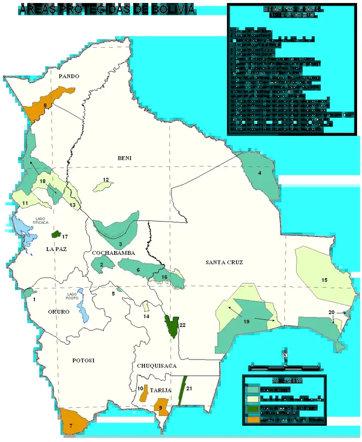
Serranía de Chiquitos

Weather…
Water temperature…
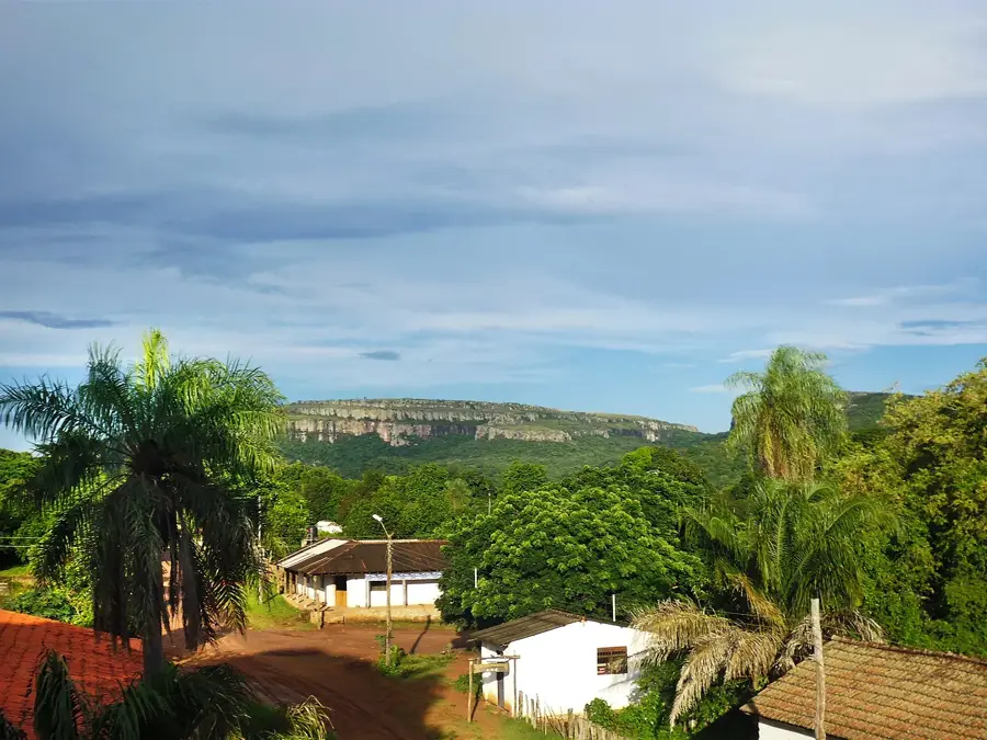
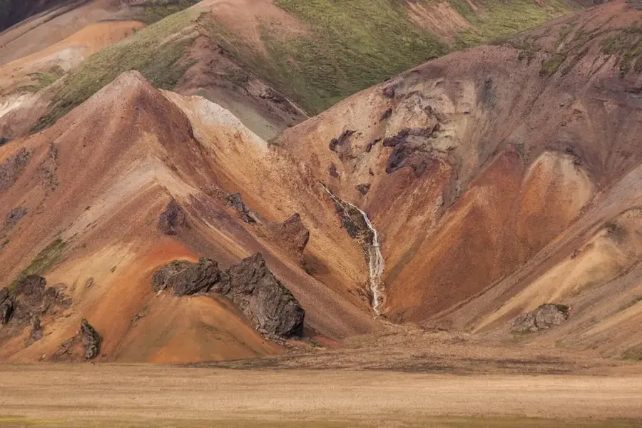
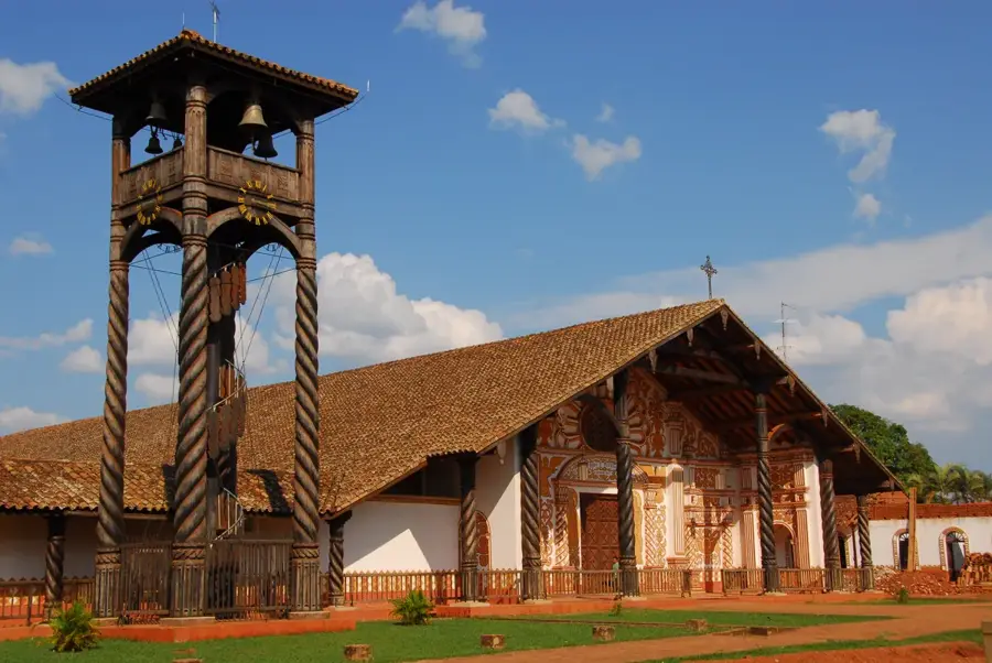
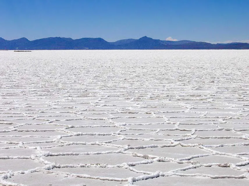
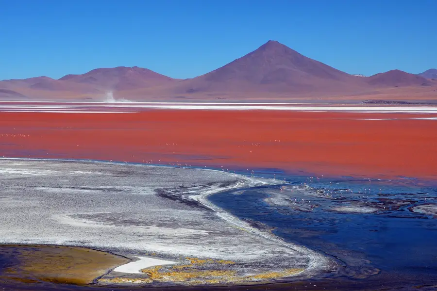
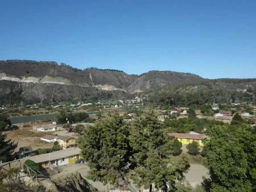
The Serranía de Chiquitos is a geologically ancient mountain range in eastern Bolivia, rising in the Santa Cruz Department and notable for its striking table mountains and cliffs. This region is part of the Precambrian shield and hosts the Chiquitano dry forest, one of the best-preserved tropical dry forest ecosystems in the world. The landscape is defined by bizarre rock formations, hidden caves, and crystal-clear streams that form small oases at lower elevations. Historically, the area is closely linked to the Jesuit Missions of the Chiquitos, which are part of the UNESCO World Heritage list and continue to shape the region's cultural identity today. Scientifically, the Serranía is of great interest for researching the geological evolution of South America and the adaptation strategies of flora to seasonal dryness. Ecologically, the area provides habitat for specialized animal species such as the puma, various armadillos, and a multitude of endemic birds. Despite tourism development around towns like Santiago de Chiquitos, the Serranía preserves its wild and untouched character. Preserving this landscape is crucial for protecting biodiversity in the Chaco-Amazon transition zone.
Best time to visit & climate
The most pleasant time to visit is Jun–Aug.
| Jan | Feb | Mar | Apr | May | Jun | Jul | Aug | Sep | Oct | Nov | Dec | |
|---|---|---|---|---|---|---|---|---|---|---|---|---|
| Avg °C | 27 | 27 | 27 | 26 | 23 | 22 | 23 | 25 | 27 | 29 | 28 | 28 |
| Rain mm | 149 | 126 | 106 | 75 | 69 | 33 | 26 | 24 | 41 | 78 | 103 | 122 |
📋 Practical info
Geography
Facts
- The Serranía de Chiquitos belongs to the Precambrian Central Brazilian Shield.
- The Tucavaca Valley is a major protected area within this region.
- The highest elevation in the range is approximately 1,200 meters.
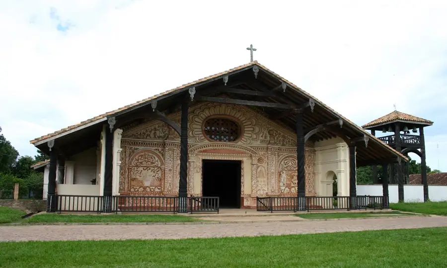
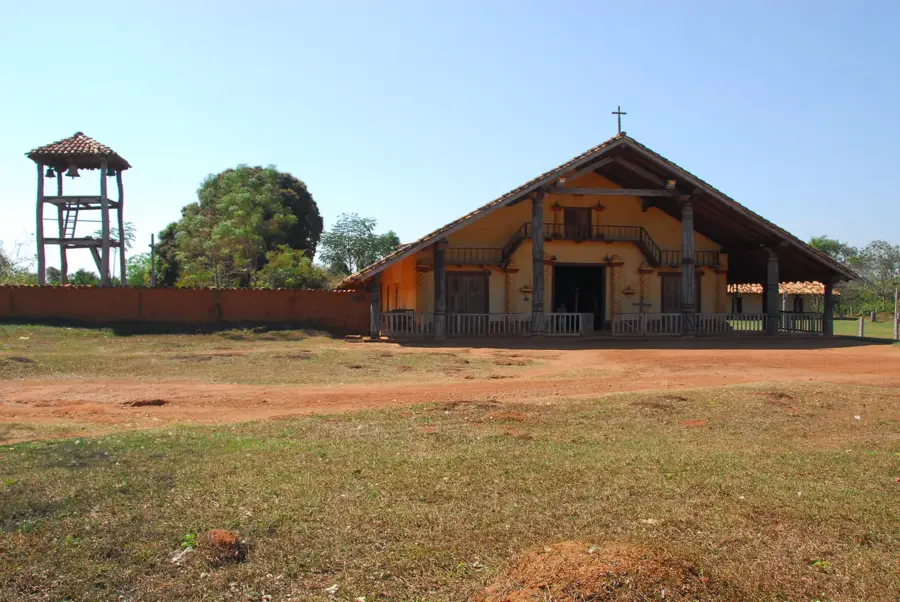
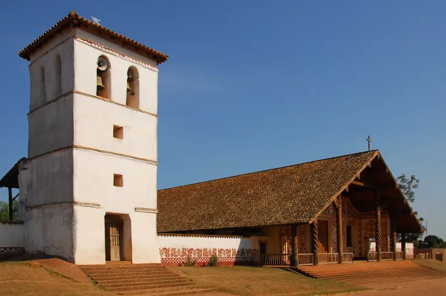
- Santiago de Chiquitos was founded in 1754 as a Jesuit mission.
- It hosts rare rock paintings indicating a long indigenous history.
- The Chiquitano dry forest is considered the world's largest intact dry forest.
Explore nearby
Notable places around
Route planner — Car & Motorhome
Where do you start? We build the route here, with stops and country notes along the way.
© OpenStreetMap contributors · OpenRouteService
Sights nearby
Frequently asked questions
What is the highlight of these mountains?
Are there easy hiking trails?
How is the climate?
Are there local restaurants?
When should you go?
Serranía de Chiquitos: where is it located?
Serranía de Chiquitos: when is the best time to visit?
Serranía de Chiquitos: why is it worth visiting?

History & landmarks
Nature
More places