Plizio Visual Lab
Ancohuma
Weather…
Water temperature…
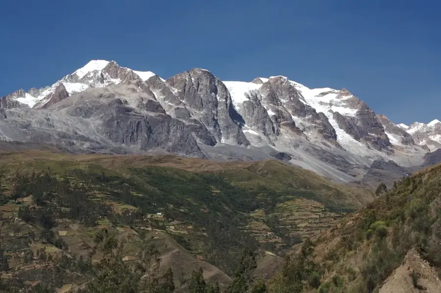
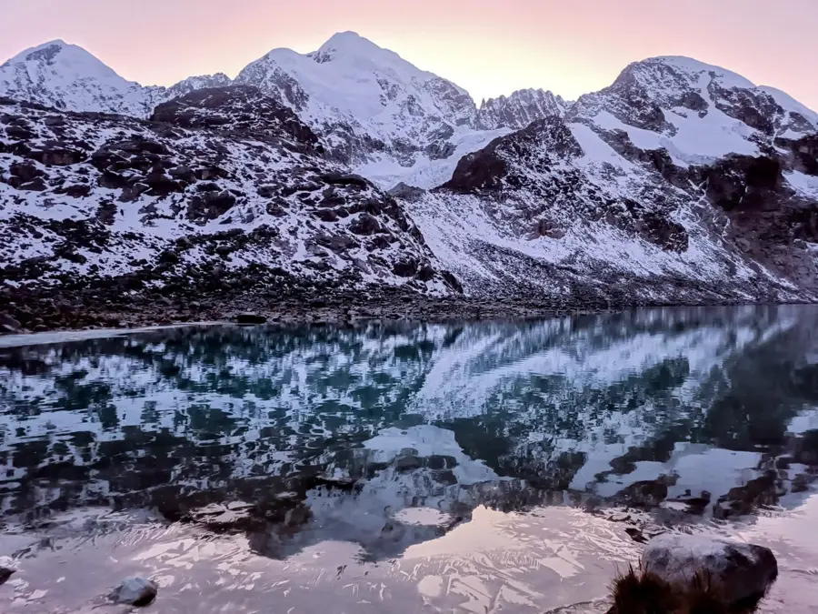
Ancohuma, also known as Janq'u Uma, is the highest peak in the Cordillera Real and the third highest in Bolivia, reaching an altitude of 6,427 meters. It is located in the northern section of the range, standing prominently near the town of Sorata. The mountain is characterized by its broad, ice-covered slopes and massive glaciers, which are among the largest in the central Andes. Its name translates from Aymara as "White Water," reflecting the abundance of snow and ice that feeds the region's watersheds. The first recorded ascent was completed in 1919 by Rudolf Dienst and Adolf Schulze. Ancohuma serves as a critical source of freshwater for the surrounding high-altitude plains and the valleys leading toward the Amazon basin. Scientific studies indicate that the mountain's glaciers are retreating rapidly, mirroring a broader trend across the tropical Andes that threatens long-term water security for local populations.
- Location: Bolivia
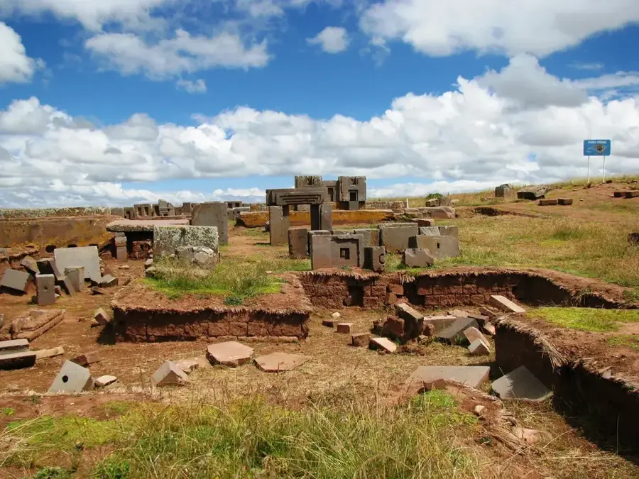
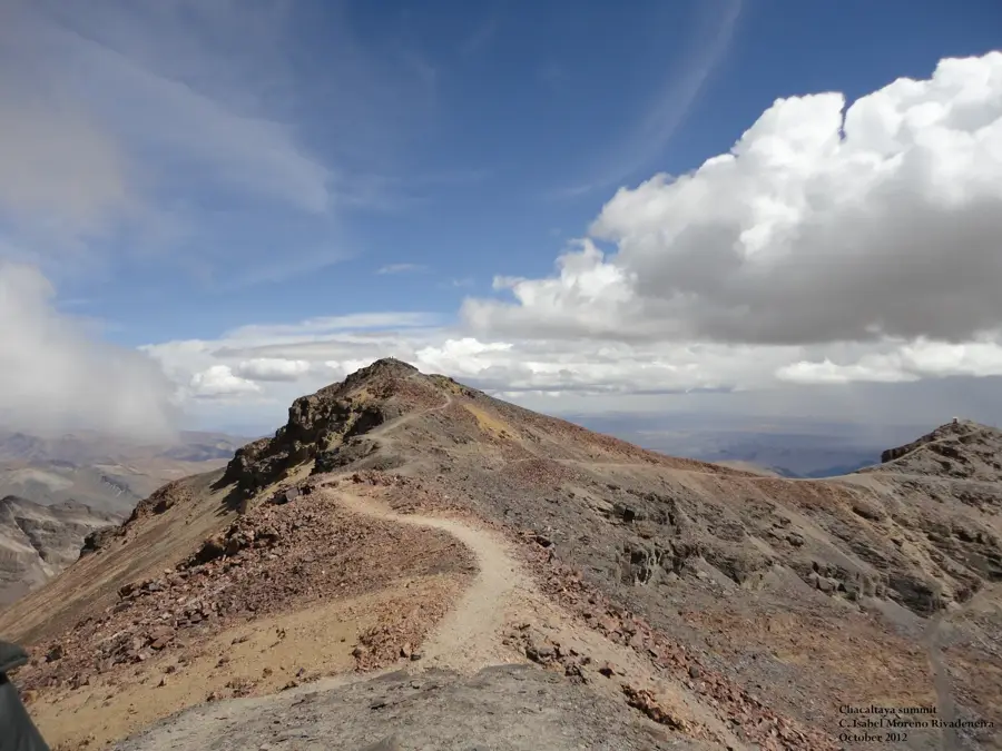
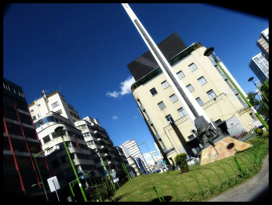
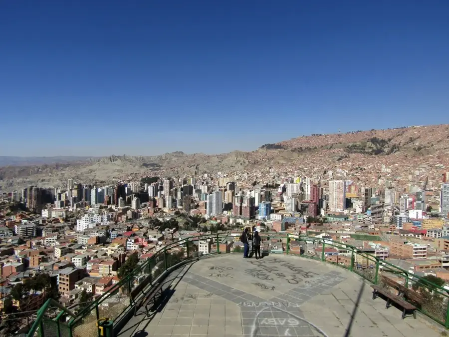
- Top sights: Mirador Titisani · Ancohuma · Ch'iyar Qullu
Best time to visit & climate
The most pleasant time to visit is May, Sep, Nov.
| Jan | Feb | Mar | Apr | May | Jun | Jul | Aug | Sep | Oct | Nov | Dec | |
|---|---|---|---|---|---|---|---|---|---|---|---|---|
| Avg °C | 9 | 9 | 9 | 8 | 8 | 7 | 6 | 7 | 8 | 9 | 9 | 9 |
| Rain mm | 152 | 137 | 98 | 54 | 27 | 19 | 22 | 24 | 29 | 59 | 64 | 123 |
📋 Practical info
Geography
Facts
- Ancohuma stands at an elevation of 6,427 meters (21,086 feet).
- The first ascent was recorded in 1919 by a German expedition.
- It is the tallest peak in the Cordillera Real mountain range.
- The mountain is situated at coordinates 15.85° S, 68.53° W.
- The glacier system on Ancohuma is vital for local irrigation.
- It is often climbed in combination with the nearby peak of Illampu.
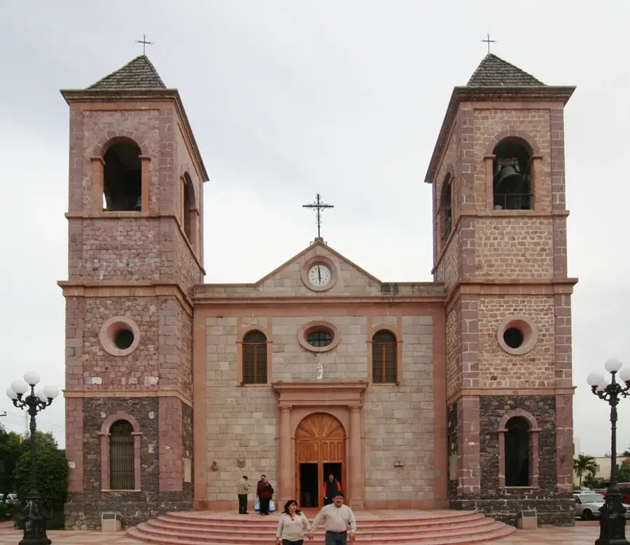
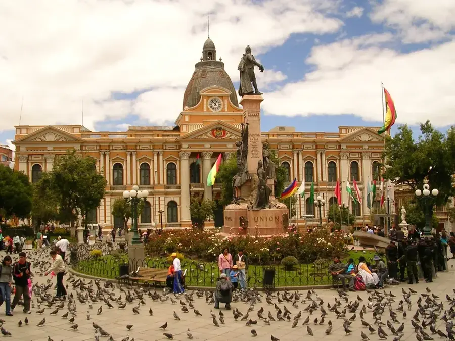
Explore nearby
Notable places around
Route planner — Car & Motorhome
Where do you start? We build the route here, with stops and country notes along the way.
© OpenStreetMap contributors · OpenRouteService
Sights in the town Ancohuma (4)
Sights nearby
Frequently asked questions
Is Ancohuma higher than Illampu?
Do Illampu and Ancohuma belong to the same massif?
What is the difficulty level of the climb?
Are there glaciers on Ancohuma?
When is the best time for an expedition?
Ancohuma: where is it located?
Ancohuma: what is there to see?
Ancohuma: when is the best time to visit?
Ancohuma: why is it worth visiting?

History & landmarks


Nature
More places