Plizio Visual Lab

Chacaltaya

Plizio editorial teamData Sources
Mountain
—°4
Chacaltaya (Bolivia)

Weather…

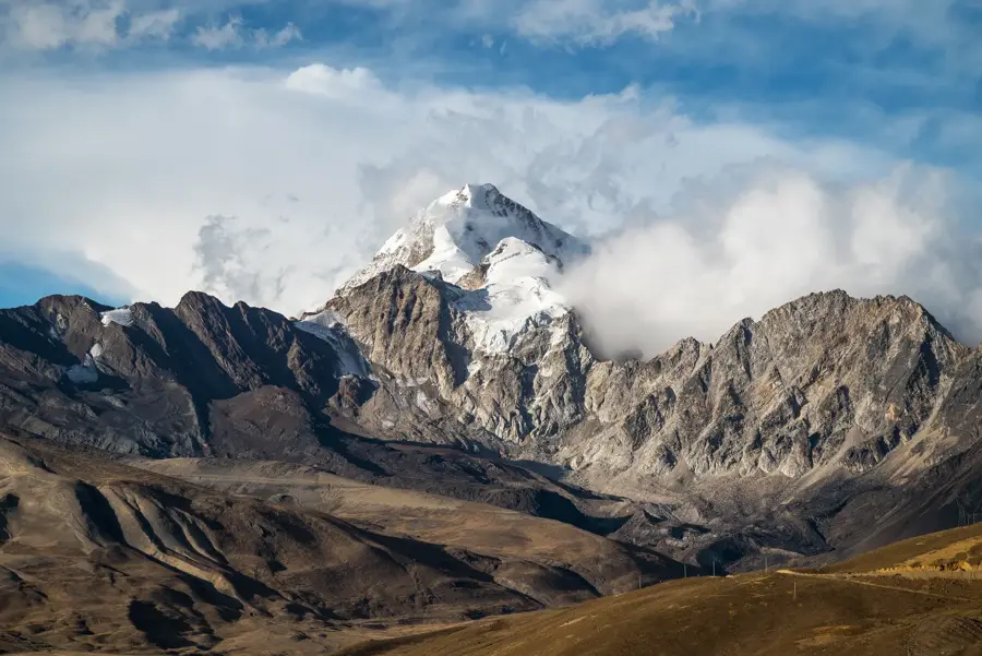
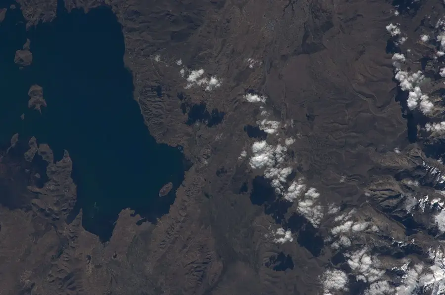
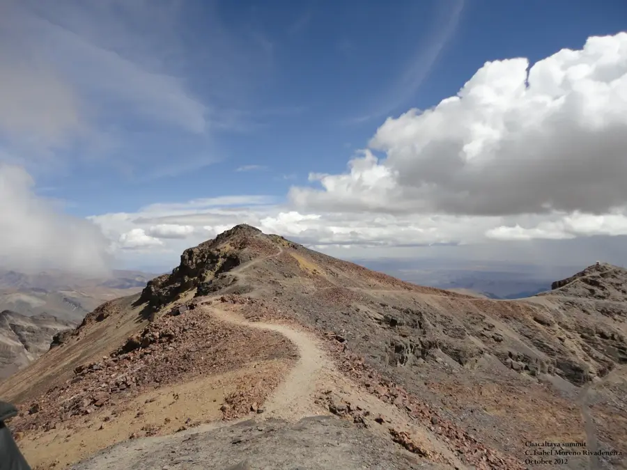
Chacaltaya is a mountain in the Cordillera Real of Bolivia, reaching a height of 5,421 meters. For decades, it was famous for being the site of the world's highest ski resort, accessible to residents of nearby La Paz. The mountain was formerly capped by the Chacaltaya Glacier, which was estimated to be 18,000 years old. However, due to climate change, the glacier rapidly receded and completely disappeared by 2009, making it a stark global example of environmental degradation. Today, the mountain remains an important scientific hub, hosting the Mount Chacaltaya Observatory, where researchers study cosmic rays and atmospheric physics due to the high elevation and clear skies. It is still a popular day-trip destination for tourists, as a road leads nearly to the summit, providing one of the easiest ways to experience altitudes over 5,000 meters and enjoy views of the Altiplano and neighboring peaks.

Best time to visit & climate

The most pleasant time to visit is Apr, Sep, Nov.

JanFebMarAprMayJunJulAugSepOctNovDec
Avg °C999876567999
Rain mm13611479351391622244844107

📋 Practical info

🧭
Getting there
Chacaltaya is highly accessible from La Paz, typically reached via an organized half-day bus or 4x4 tour. The narrow, winding mountain road takes visitors directly to the former ski lodge at a very high altitude.
📅
Best season
The site is reachable throughout the year, but the dry season spanning from May to October is preferable, as the dirt road is less muddy and the sweeping views of the surrounding Cordillera Real are clearer.
⛰️
Terrain & paths
The terrain consists of a rocky, barren high-altitude plateau with patches of snow. The short walk from the lodge to the summit follows a marked but rocky trail on a fairly steep incline.
🎒
What to bring
Warm, windproof clothing is absolutely crucial, even on sunny days, as the thin air provides little insulation. Good walking shoes and high-SPF sunscreen are also necessary for the brief hike.
🅿️
Parking
There is a parking area directly next to the abandoned ski lodge at the end of the road, where tour buses and private transport wait while visitors complete the final ascent on foot.
⚠️
Safety
The primary danger is the extreme altitude of over 5,300 meters, which can cause severe headaches and shortness of breath; moving slowly and staying hydrated is imperative to avoid altitude sickness.
⏱️
Time needed
The drive from La Paz takes roughly two hours each way. The actual visit at the lodge and the hike to the summit typically lasts between 1 and 2 hours, making for a standard half-day trip.

Geography

Coordinates
-16.34500, -68.16600

Facts

  • The mountain reaches an altitude of 5,421 meters.
  • The ski resort was the highest in the world until the snow vanished.
  • The summit is part of the Andes' Cordillera Real range.
  • The Chacaltaya Glacier served as a water source for La Paz.
  • It takes only 15-20 minutes to hike from the road's end to the peak.
  • Cosmic ray research here led to important physics discoveries in the 1940s.
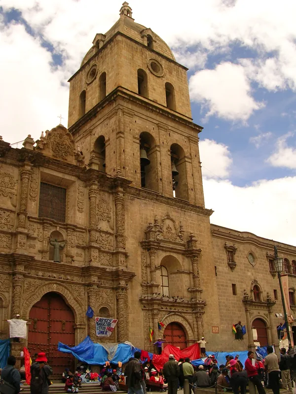
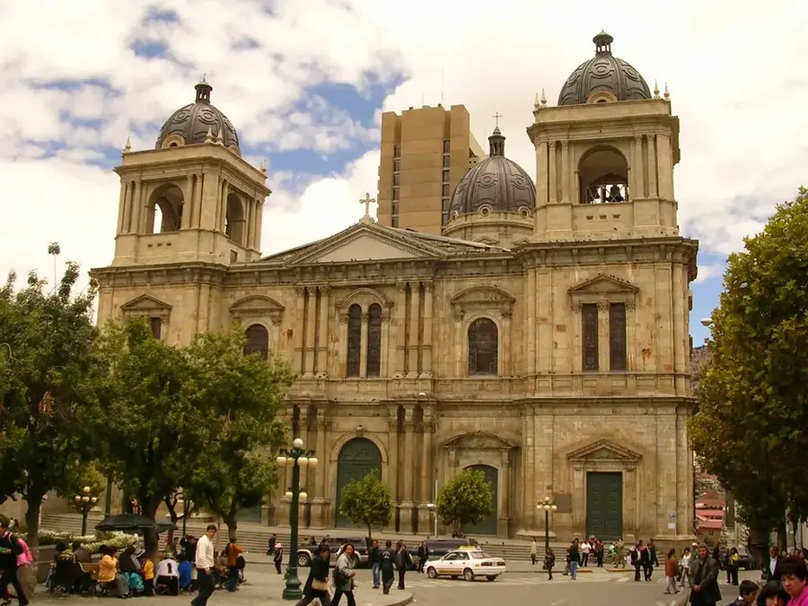
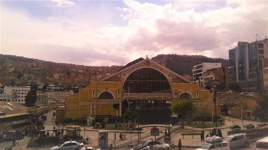
Explore nearby

Notable places around

Route planner — Car & Motorhome

Where do you start? We build the route here, with stops and country notes along the way.

Vehicle
Only stops with (optional):

© OpenStreetMap contributors · OpenRouteService

Sights in the town Chacaltaya (4)

Cerro Ch'iyar Qirini🌿 nature

A rugged Andean peak whose indigenous name refers to its distinctively dark rocky features.

Mirador🌿 nature

An elevated viewing platform that provides expansive sights of the dramatic mountain ranges.

Chacaltaya🌿 nature

A famous mountain peak that was once home to one of the world's highest ski resorts before its glacier retreated.

Alto Milluni Sign📍 landmark

A distinctive landmark sign marking the entrance to the high-altitude settlement of Alto Milluni.

Sights nearby

Frequently asked questions

What was Chacaltaya in the past?
It was the world's highest ski resort before the glacier melted.
Can you still ski there today?
No, the glacier has almost completely disappeared.
How high is Mount Chacaltaya?
The summit is at 5,421 meters.
Why do tourists visit the site today?
Because of its easy accessibility and great views of La Paz.
Is there an observatory located there?
Yes, there is an astrophysical laboratory for high-altitude research.
Chacaltaya: where is it located?
Chacaltaya is located in Bolivia.
Chacaltaya: what is there to see?
Highlights include Cerro Ch'iyar Qirini, Mirador, Chacaltaya.
Chacaltaya: when is the best time to visit?
The most pleasant time to visit is Apr, Sep, Nov.
Chacaltaya: why is it worth visiting?
Chacaltaya is a mountain in the Cordillera Real of Bolivia, reaching a height of 5,421 meters.
View on map → The Top 50 Attractions → OpenStreetMap →
South America
Explore with Plizio Discover more places in South America
More places in Bolivia →

History & landmarks

Nature

More places