Plizio Visual Lab
Four Cross Roads
ℹ️Practical info — Four Cross Roads
▾
🌤 Weather — 5 days
📍 Nearby
Sights nearby
💡 Tips
- This is a key junction for navigating to the rugged East Coast; use it as a landmark when driving.
- Traffic can slow down at the intersection during rush hours, so plan a little extra time if passing through.
- It's a great spot to pause and buy fresh local produce or drinks from vendors set up near the crossroads.
- The area is quite rural, so make sure you have enough fuel and cash before heading deeper into St. John.
🍽 Food
A dense, coconut-filled baked good often available at small bakeries or shops near the junction.
Grab a freshly chopped coconut from the vendors who frequently set up right at the four roads.
Stop by a nearby rum shop or snackette for a satisfying fish sandwich to fuel your road trip.
🛍 Shopping · 🧘 Quiet spots
The intersection is a popular spot for farmers selling seasonal fruit and vegetables straight from the back of their trucks.
Small local stores in the vicinity where you can buy cold sodas, local pepper sauce, and snacks.
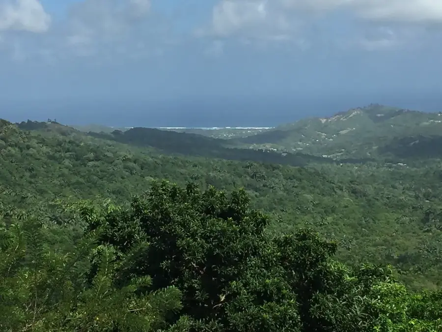
The drive heading east from the crossroads features peaceful, rolling hills and glimpses of the Atlantic.
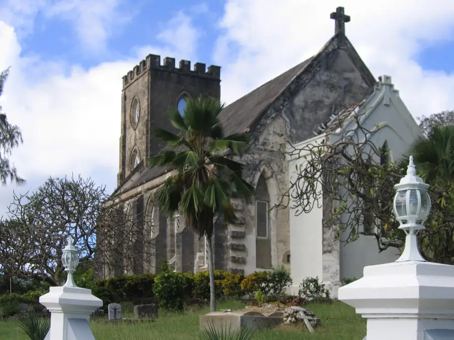
Take a short detour to find historic, quiet parish churches surrounded by mature mahogany trees.
Water temperature…
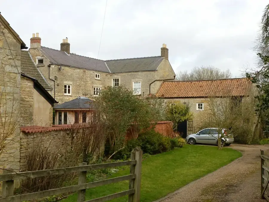
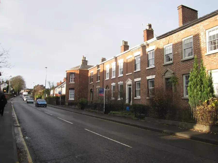
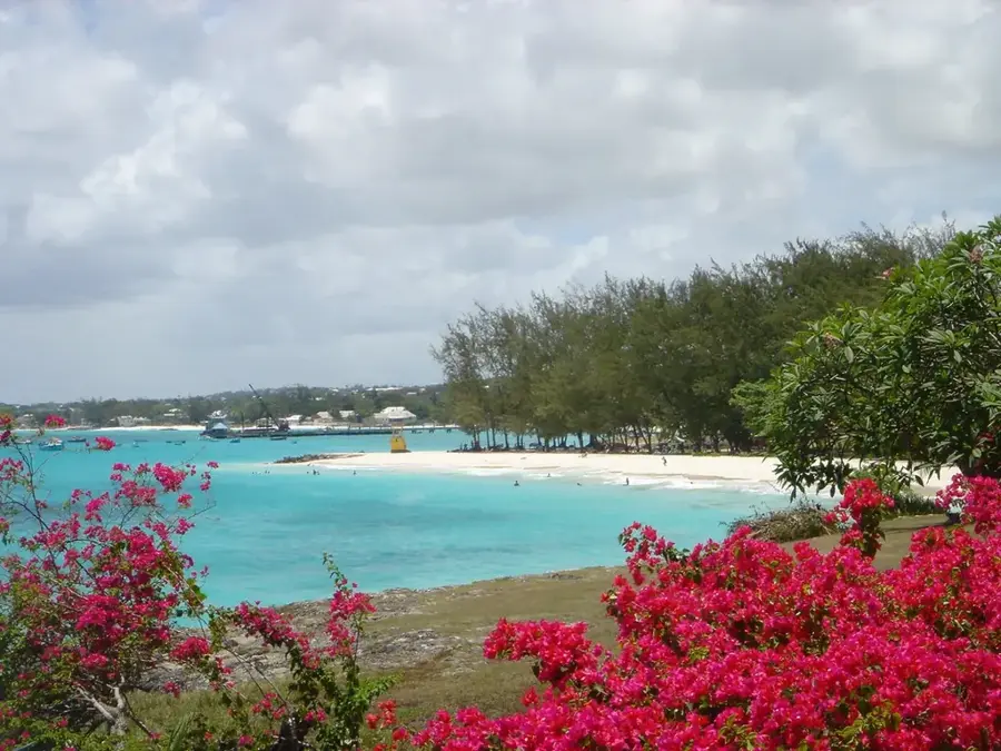
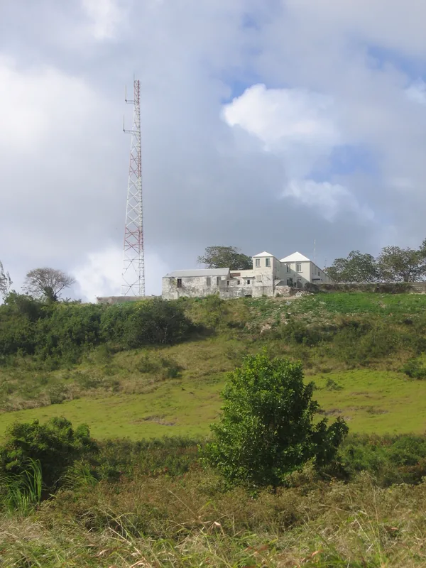
Four Cross Roads is a quintessential rural community located in the parish of Saint John on the eastern side of Barbados. As its name implies, the settlement evolved around a major crossroads that serves as a vital link between the island's central agricultural heartland and the rugged eastern coastline. The village is known for its peaceful, unhurried atmosphere, providing a glimpse into authentic Bajan country life. At the heart of the community lies the St. John Primary School, which has served local families for generations. The area surrounding Four Cross Roads is characterized by expansive sugarcane fields and rolling hills, maintaining the traditional landscape that has defined Barbados for centuries. For travelers exploring the island by car, it is a prominent navigational landmark on the way to attractions like Bath Beach or the historic St. John’s Parish Church. The local architecture features a blend of traditional chattel houses and more modern dwellings, all set against a backdrop of lush tropical greenery and local gardens.
- Location: Barbados
- Nearby: Ruby (4 km)
- Population: ~623 (2016)
Best time to visit & climate
The most pleasant time to visit is Jan–Mar.
| Jan | Feb | Mar | Apr | May | Jun | Jul | Aug | Sep | Oct | Nov | Dec | |
|---|---|---|---|---|---|---|---|---|---|---|---|---|
| Avg °C | 26 | 26 | 26 | 27 | 28 | 28 | 28 | 28 | 28 | 28 | 28 | 27 |
| Rain mm | 34 | 19 | 19 | 28 | 52 | 72 | 74 | 95 | 98 | 132 | 107 | 49 |
Geography
Facts
- Four Cross Roads is in Saint Philip parish, Barbados.
- Population approximately 300 (2023).
- Elevation is about 30 meters.
- St. Philip's Parish Church was built in 1640.
- Distance to coast is 5 km.
- Area is approximately 0.8 km².
Explore nearby
Notable places around
Route planner — Car & Motorhome
Where do you start? We build the route here, with stops and country notes along the way.
© OpenStreetMap contributors · OpenRouteService
Frequently asked questions
What is Four Cross Roads?
Are there sights?
Can you get fuel there?
Public transport?
Is it worth a stop?
Four Cross Roads: where is it located?
Four Cross Roads: when is the best time to visit?
Four Cross Roads: why is it worth visiting?

Nearby cities