Plizio Visual Lab
Kaptai Dam
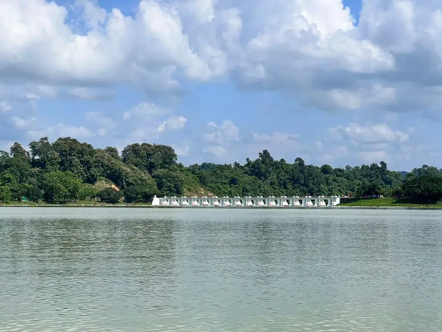
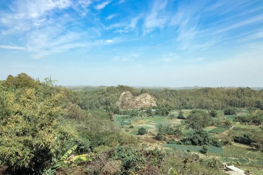
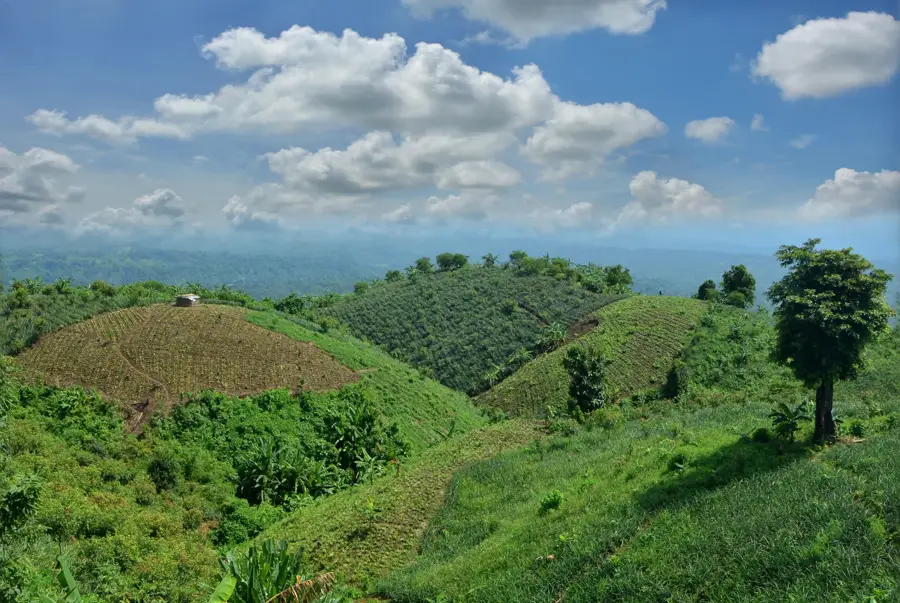
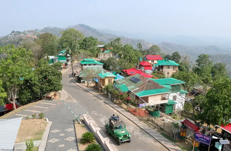
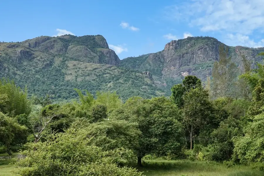
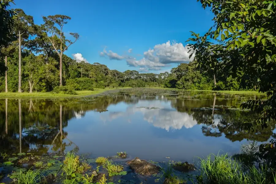
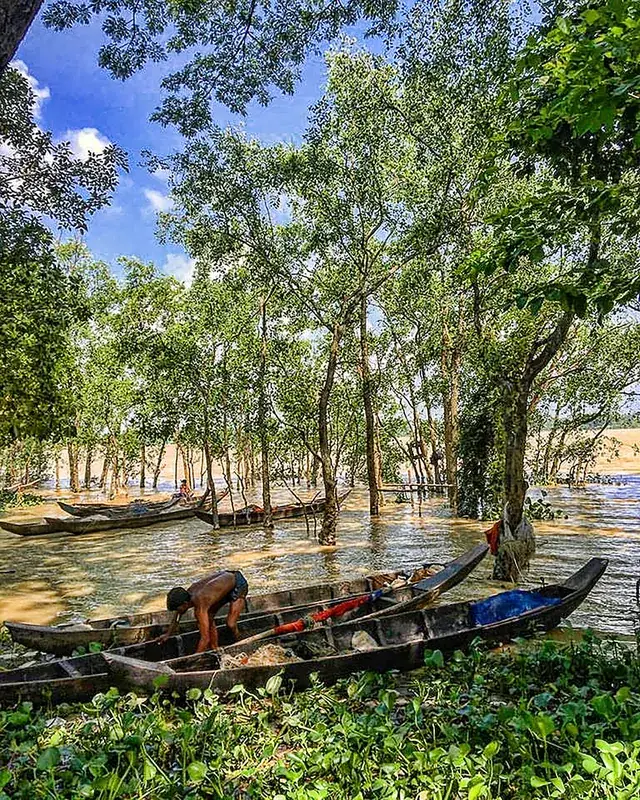
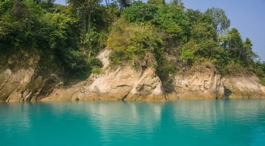
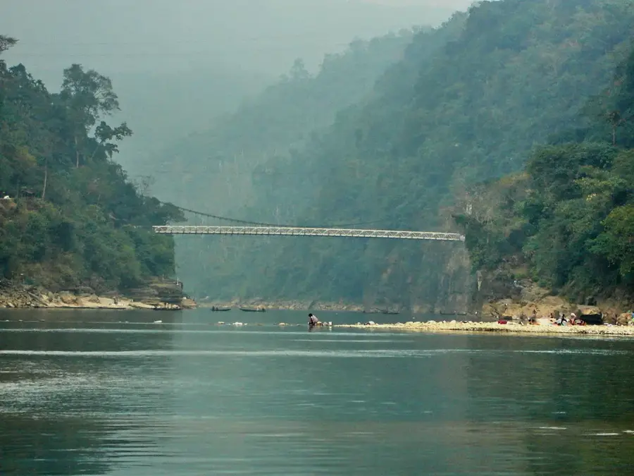
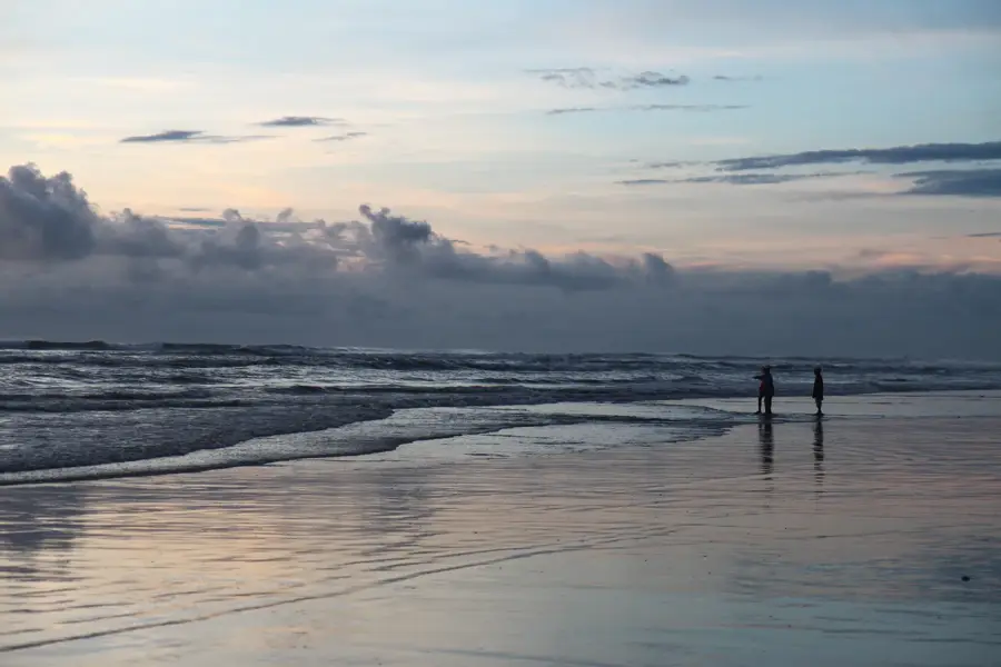
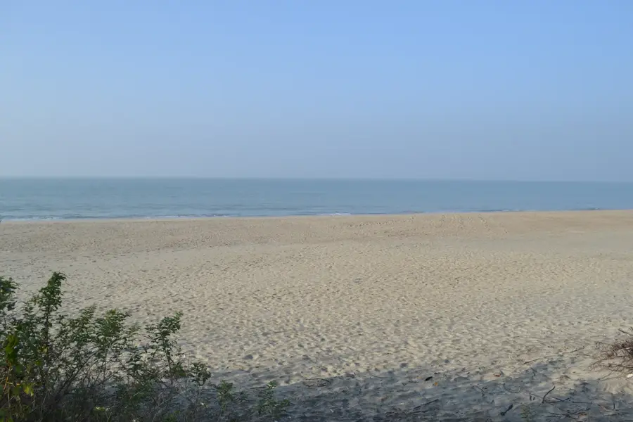
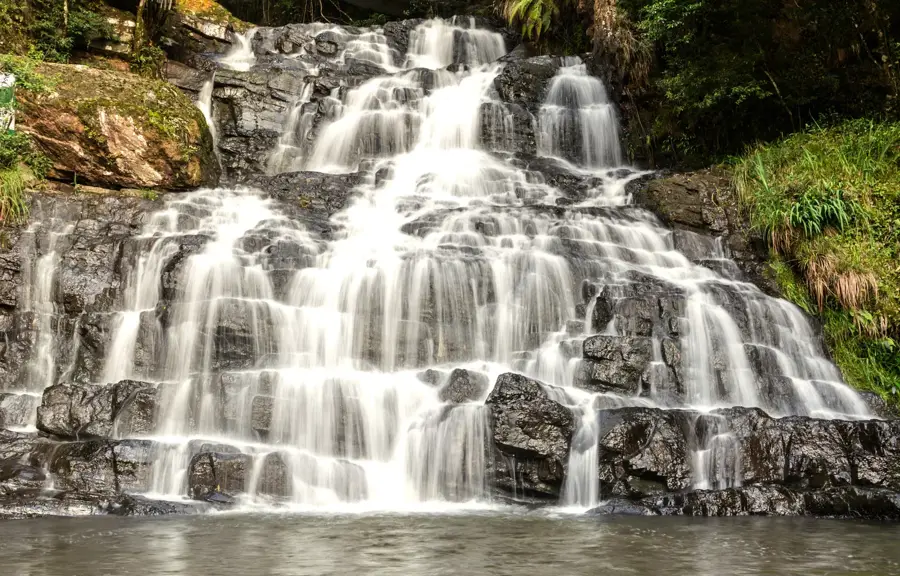
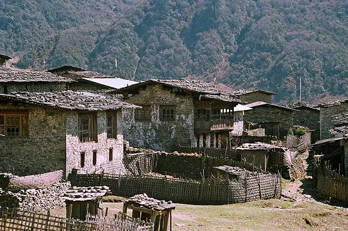
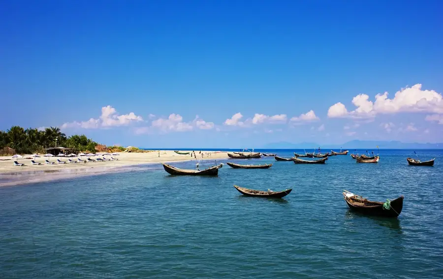
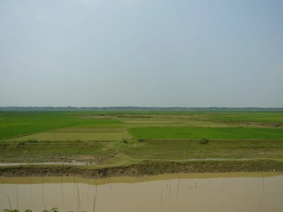
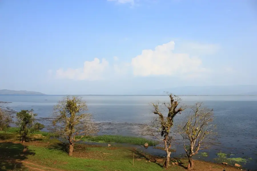
The Kaptai Dam is the only hydroelectric power station in Bangladesh, located on the Karnaphuli River in the Rangamati district. Completed in 1962, the dam's construction resulted in the formation of Kaptai Lake, the largest man-made lake in the country, covering about 725 square kilometers. The project was primarily designed to generate hydroelectric power, but it also serves multiple purposes including flood control, irrigation, and facilitating river navigation in the Chittagong Hill Tracts. The dam itself is an earth-fill structure with a height of 43 meters and a crest length of 670 meters. While it has significantly contributed to the nation's power grid, the project remains historically significant due to the displacement of nearly 100,000 local indigenous people whose ancestral lands were submerged. Today, the area is a popular tourist destination, renowned for its scenic beauty, boat cruises on the lake, and the unique cultural heritage of the surrounding hill communities.
- Location: Bangladesh
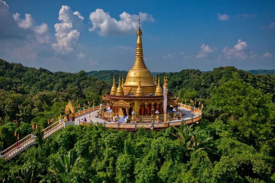
- Top sights: Lake View Spot · lg geitt kaali baarrii mndir · Log Gate Jame Masjid lg geitt jaame msjid
- Nearby: Rangamati (8 km)
Best time to visit & climate
The most pleasant time to visit is Jan, Feb, Dec.
| Jan | Feb | Mar | Apr | May | Jun | Jul | Aug | Sep | Oct | Nov | Dec | |
|---|---|---|---|---|---|---|---|---|---|---|---|---|
| Avg °C | 18 | 22 | 26 | 28 | 29 | 28 | 28 | 28 | 28 | 27 | 24 | 20 |
| Rain mm | 9 | 19 | 41 | 126 | 305 | 551 | 782 | 531 | 395 | 233 | 56 | 14 |
📋 Practical info
Geography
Facts
- Construction of the dam began in 1957 and was completed in 1962.
- The power plant has a total installed capacity of 230 megawatts.
- Kaptai Lake has an average depth of 9 meters, reaching up to 36 meters at the dam.
- The dam is an earth-fill type with a spillway containing 16 radial gates.
- The project was initially funded through US aid during the Pakistan era.
- It provides irrigation facilities to approximately 1,000 square kilometers of land.
Explore nearby
Notable places around
Route planner — Car & Motorhome
Where do you start? We build the route here, with stops and country notes along the way.
© OpenStreetMap contributors · OpenRouteService
Sights in the town Kaptai Dam (4)
Sights nearby
Frequently asked questions
What is the dam for?
Can the dam wall be visited?
Are there boat trips on the lake?
Where is the dam located?
Can you fish there?
Kaptai Dam: where is it located?
Kaptai Dam: what is there to see?
Kaptai Dam: when is the best time to visit?
Kaptai Dam: why is it worth visiting?

Nearby cities
History & landmarks
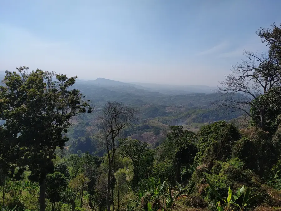
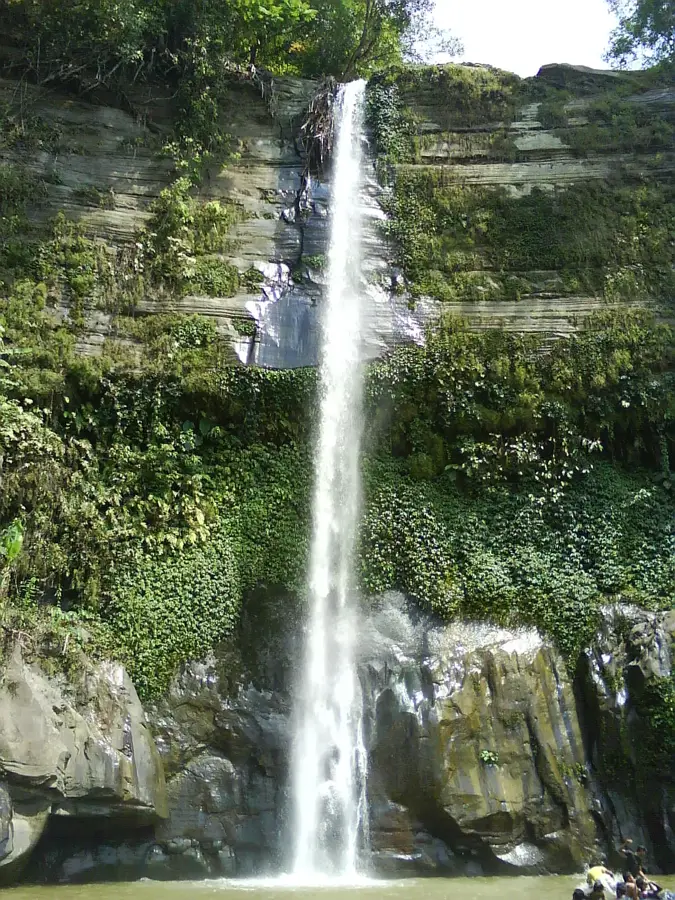
Nature
More places