Plizio Visual Lab
Long Island's Atlantic Cliffs
Weather…
Water temperature…
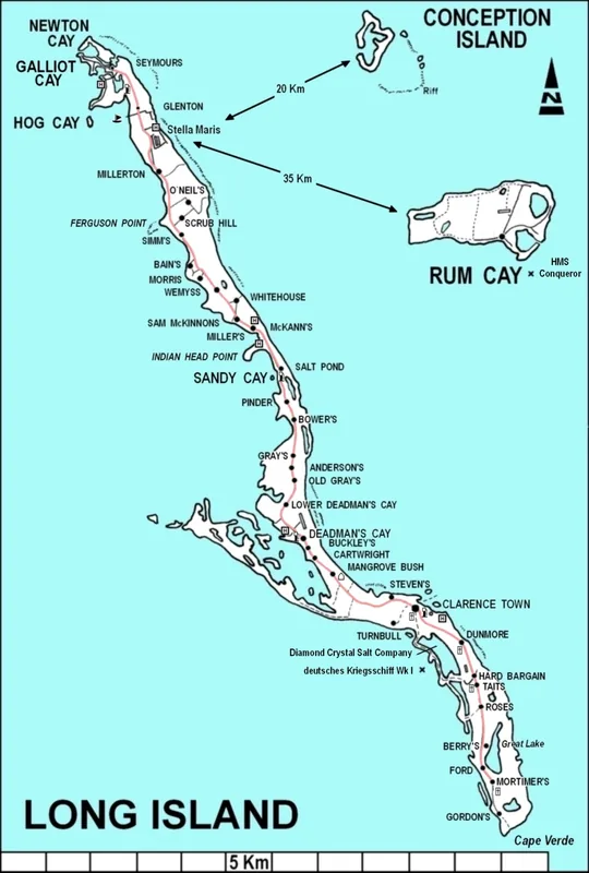
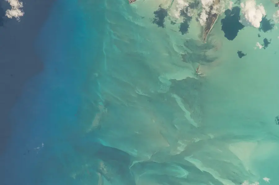
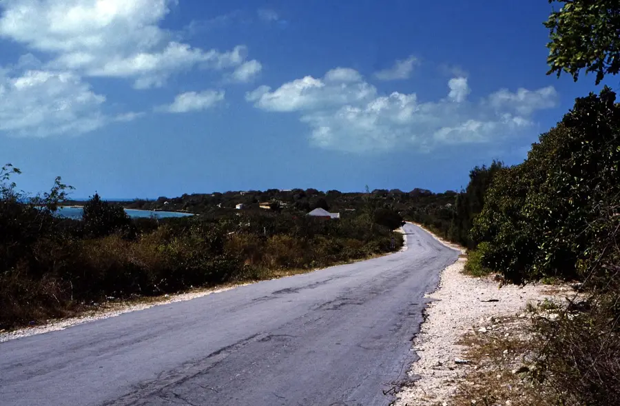
Long Island is a 130-kilometer-long landmass that exhibits a dramatic contrast between its leeward and windward shores. The eastern coast is dominated by rugged Atlantic cliffs, some of the highest in the Bahamas, which have been sculpted by the relentless energy of the ocean waves. These limestone formations rise steeply from the sea, providing a stark boundary between the island's interior and the deep Atlantic basin. Near the northern tip, Cape Santa Maria was named after Christopher Columbus's flagship during his 1492 voyage. The island is also home to Dean's Blue Hole, the world's second-deepest saltwater sinkhole, plunging 202 meters into the subterranean karst system. Geologically, the cliffs are composed of lithified sand dunes from the Pleistocene era, showing distinct layers of sedimentary deposition. Historically, the elevated terrain served as a landmark for early maritime explorers navigating the Lucayan archipelago. Today, the cliffs are a site of significant geological interest, offering insights into long-term erosion patterns and sea-level changes. The area also supports unique coastal flora that has adapted to the salt spray and high-wind environment of the Atlantic front.
- Location: Bahamas
- Top sights: Dean's Blue Hole · Vertical Blue · Clarence Town
- Nearby: Cecil (6 km)
Best time to visit & climate
The most pleasant time to visit is Jan–Mar.
| Jan | Feb | Mar | Apr | May | Jun | Jul | Aug | Sep | Oct | Nov | Dec | |
|---|---|---|---|---|---|---|---|---|---|---|---|---|
| Avg °C | 24 | 24 | 25 | 25 | 26 | 28 | 29 | 29 | 29 | 28 | 27 | 26 |
| Rain mm | 29 | 20 | 21 | 36 | 74 | 65 | 49 | 57 | 75 | 107 | 64 | 32 |
📋 Practical info
Geography
Facts
- Long Island stretches approximately 80 miles in length but is only 4 miles wide.
- Dean's Blue Hole is 202 meters deep, making it one of the world's deepest.
- Cape Santa Maria was visited by Christopher Columbus in October 1492.
- The Atlantic cliffs reach heights of over 30 meters above the breaking waves.
- The island was originally called "Yuma" by the indigenous Lucayan people.
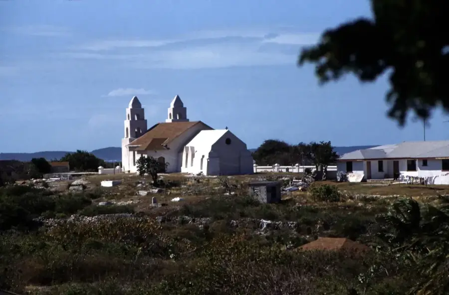
- St. Mary's Catholic Church in the area dates back to the late 19th century.
Explore nearby
Notable places around
Route planner — Car & Motorhome
Where do you start? We build the route here, with stops and country notes along the way.
© OpenStreetMap contributors · OpenRouteService
Sights in the town Long Island's Atlantic Cliffs (3)
Sights nearby
Frequently asked questions
Where are the cliffs on Long Island?
How high are the cliffs?
Is it windy there?
Can you hike there safely?
What is the most famous landmark?
Long Island's Atlantic Cliffs: where is it located?
Long Island's Atlantic Cliffs: what is there to see?
Long Island's Atlantic Cliffs: when is the best time to visit?
Long Island's Atlantic Cliffs: why is it worth visiting?

Nearby cities

History & landmarks
More places