Plizio Visual Lab
Long Island (Bahamas)

Weather…
Water temperature…
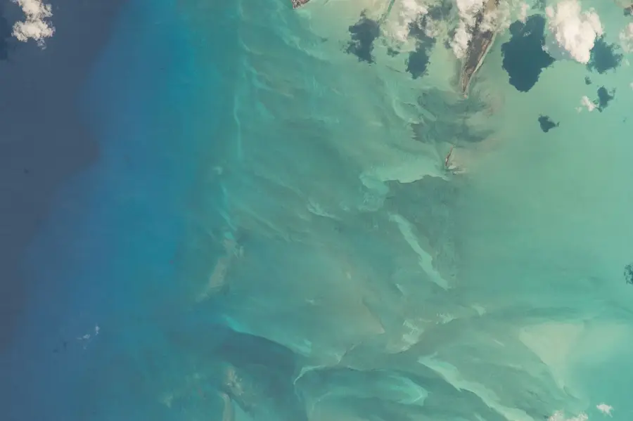
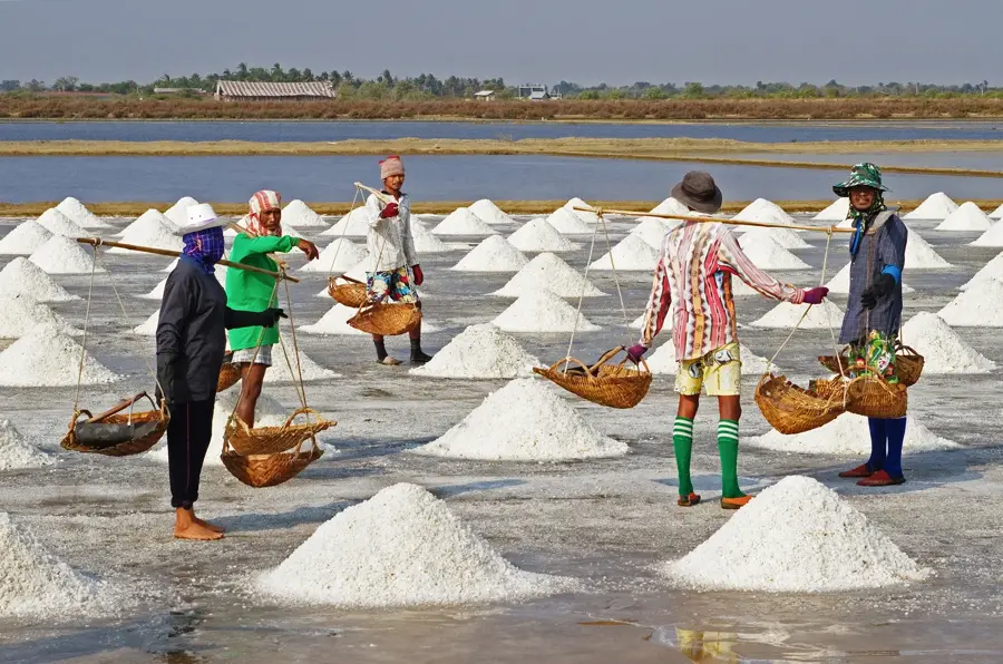
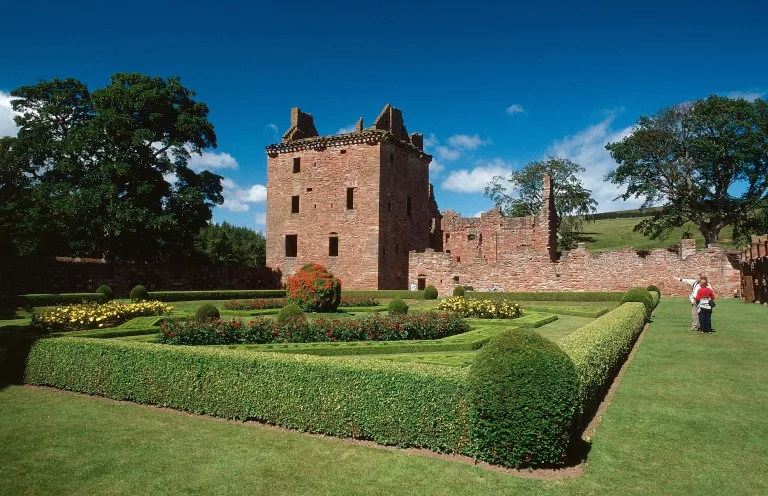
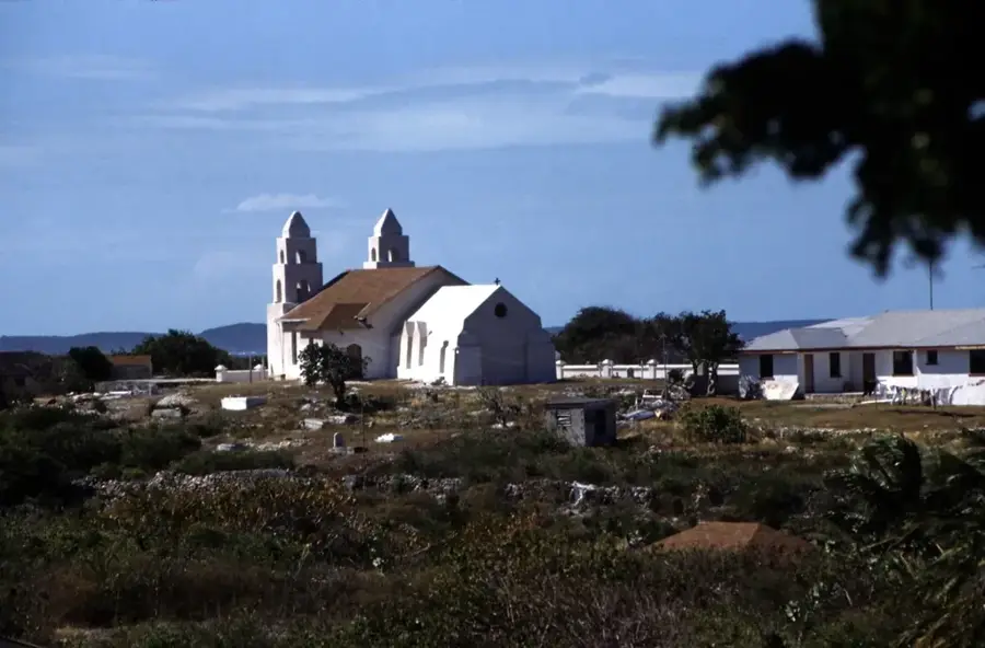
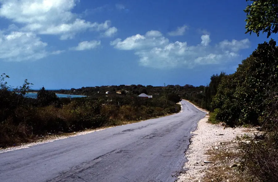
Long Island is one of the most geographically diverse islands in the Bahamas, extending 130 kilometers through the south-central portion of the archipelago. A distinctive feature of the island is that the Tropic of Cancer passes directly through it, marking a significant climatic boundary. The island is world-famous for Dean's Blue Hole, which reaches a depth of 202 meters, making it one of the deepest marine blue holes on Earth and a premier destination for international freediving competitions. Geographically, the island presents a stark contrast: the eastern coast features rugged limestone cliffs and turbulent Atlantic waters, while the western coast has calm, shallow seas and sandy beaches. Historically, Long Island was a major center for salt production and livestock farming, the latter of which remains part of the local culture today. Architectural highlights include the twin churches of Clarence Town, both designed by Father Jerome. The island also contains extensive cave systems, such as Hamilton's Cave, which has yielded prehistoric Lucayan Indian artifacts.
- Location: Bahamas
- Nearby: Cecil (8 km)
Best time to visit & climate
The most pleasant time to visit is Jan–Mar.
| Jan | Feb | Mar | Apr | May | Jun | Jul | Aug | Sep | Oct | Nov | Dec | |
|---|---|---|---|---|---|---|---|---|---|---|---|---|
| Avg °C | 24 | 24 | 24 | 25 | 26 | 28 | 28 | 29 | 29 | 28 | 26 | 25 |
| Rain mm | 25 | 18 | 17 | 36 | 65 | 62 | 53 | 59 | 72 | 83 | 54 | 30 |
📋 Practical info
Geography
Facts
- Dean's Blue Hole is 202 meters deep, a world-record for blue holes.
- The Tropic of Cancer passes directly through the island's territory.
- The island spans a total length of approximately 130 kilometers.
- Hamilton's Cave is among the largest cave systems in the Bahamas.
- Clarence Town features two unique churches built by Father Jerome.
- Christopher Columbus named the island 'Santa Maria de la Concepción' in 1492.
Explore nearby
Notable places around
Route planner — Car & Motorhome
Where do you start? We build the route here, with stops and country notes along the way.
© OpenStreetMap contributors · OpenRouteService
Sights nearby
Frequently asked questions
What is Dean’s Blue Hole?
How does the north differ from the south?
Are there historical buildings?
How do you get to Long Island?
Is it a good place for fishing?
Long Island (Bahamas): where is it located?
Long Island (Bahamas): when is the best time to visit?
Long Island (Bahamas): why is it worth visiting?

Nearby cities

History & landmarks
More places