Plizio Visual Lab
Cat Island's Central Ridge
Weather…
Water temperature…
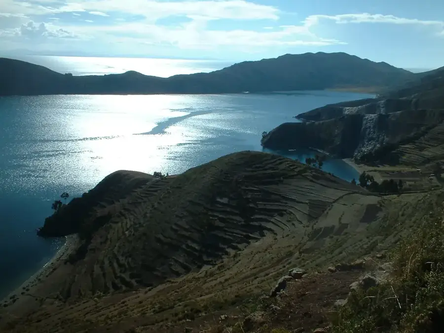
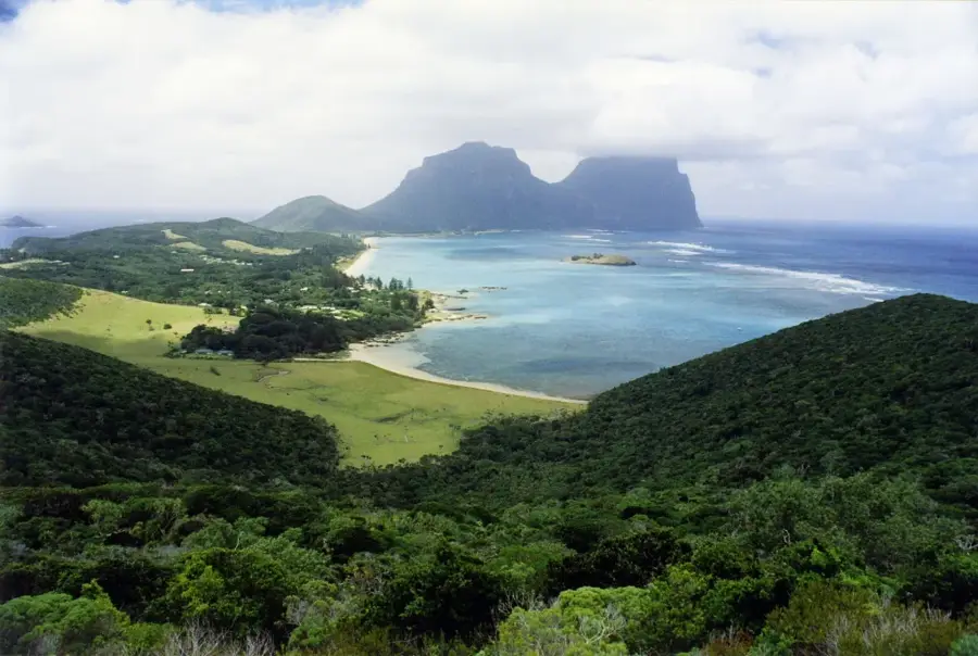
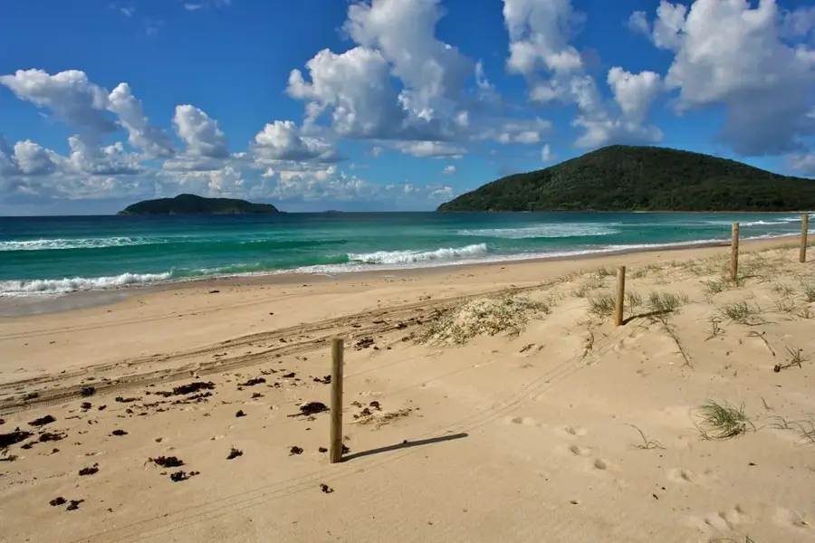
Cat Island features a prominent central ridge that includes the highest point in the entire Commonwealth of the Bahamas, known as Mount Alvernia. Standing at 63 meters above sea level, this limestone hill was formerly called Como Hill before being renamed by the architect-hermit Father Jerome. In 1939, Father Jerome constructed the Hermitage, a small stone monastery, at the summit using local materials and traditional methods. The ridge provides a natural backbone to the 77-kilometer-long island, offering panoramic views of the surrounding Atlantic waters and coral reefs. Geologically, the ridge is composed of carbonate rocks that have undergone significant karstification over thousands of years. The island's history is deeply connected to this high ground, which served as a lookout point during various periods of maritime activity. Today, the Hermitage remains a site of cultural and religious significance, attracting visitors interested in both the unique architecture and the natural elevation of the terrain. The central ridge also influences local rainfall patterns, supporting diverse vegetation across the island's interior.
- Location: Bahamas
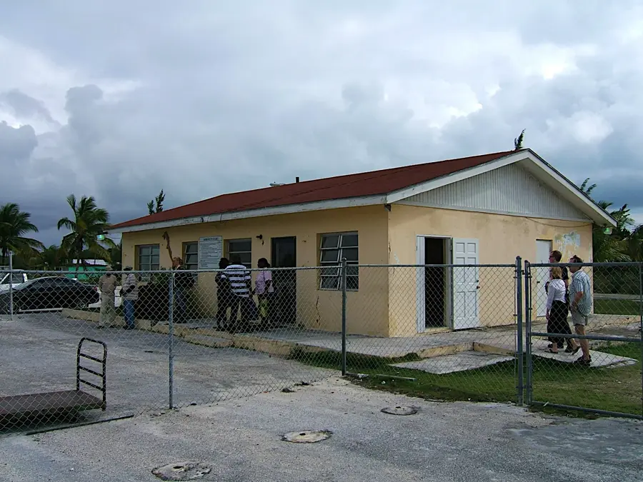
- Nearby: Burrows (4 km)
Best time to visit & climate
The most pleasant time to visit is Jan–Mar.
| Jan | Feb | Mar | Apr | May | Jun | Jul | Aug | Sep | Oct | Nov | Dec | |
|---|---|---|---|---|---|---|---|---|---|---|---|---|
| Avg °C | 23 | 24 | 24 | 25 | 26 | 28 | 28 | 29 | 29 | 28 | 26 | 25 |
| Rain mm | 31 | 25 | 25 | 43 | 92 | 102 | 81 | 93 | 110 | 93 | 58 | 30 |
📋 Practical info
Geography
Facts
- Mount Alvernia is the highest natural point in the Bahamas at 63 meters.
- The Hermitage monastery was completed by Father Jerome in 1939.
- Cat Island is approximately 48 miles long and up to 4 miles wide.
- The central ridge is primarily composed of Pleistocene era limestone formations.
- The island was formerly a major center for cotton production in the late 1700s.
- The elevation provides a strategic vantage point overlooking the Exuma Sound.
Explore nearby
Notable places around
Route planner — Car & Motorhome
Where do you start? We build the route here, with stops and country notes along the way.
© OpenStreetMap contributors · OpenRouteService
Sights nearby
Frequently asked questions
Where is the highest mountain in the Bahamas?
What stands on the summit of the ridge?
Is the path to the summit strenuous?
Is there drinking water there?
When is the best time for photos?
Cat Island's Central Ridge: where is it located?
Cat Island's Central Ridge: when is the best time to visit?
Cat Island's Central Ridge: why is it worth visiting?

Nearby cities


More places