Plizio Visual Lab
Serra da Leba
Weather…
Water temperature…
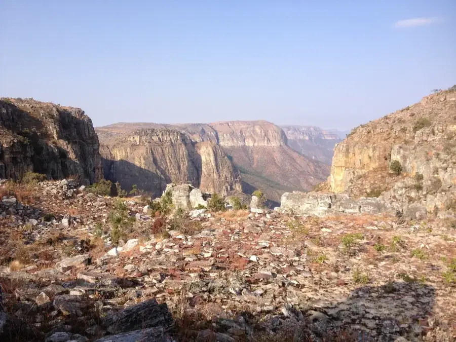
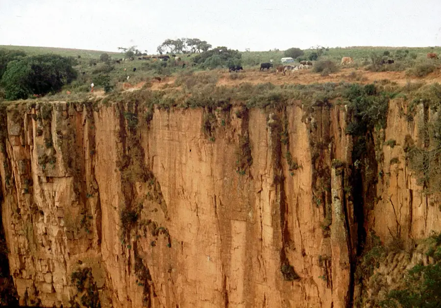
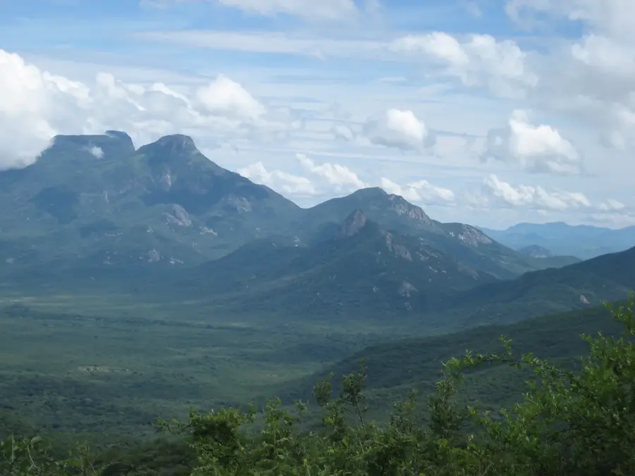
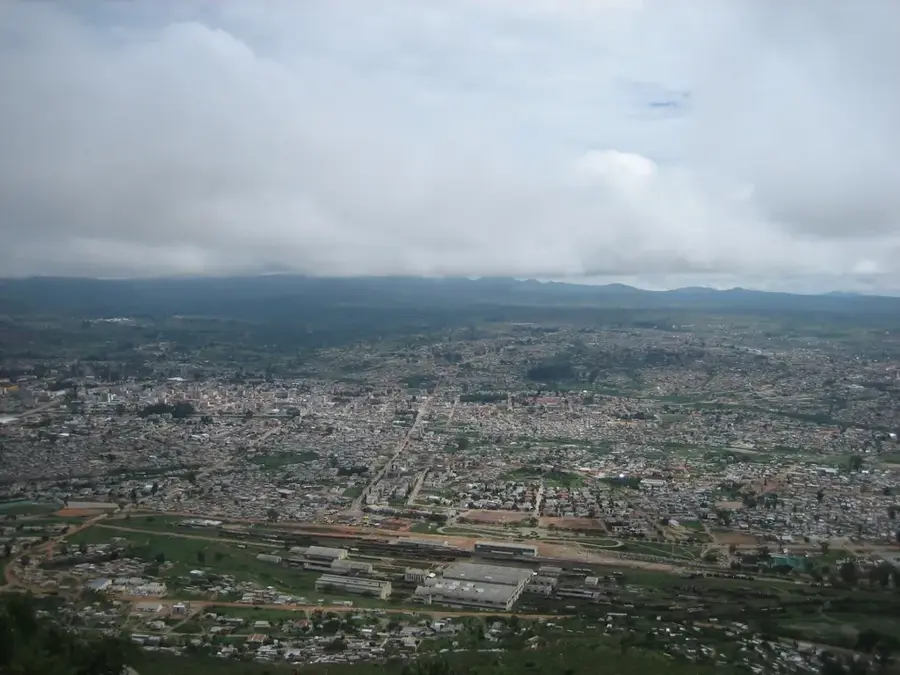
Serra da Leba is a prominent mountain range located in southwestern Angola, spanning the border between the provinces of Huíla and Namibe. It is globally recognized for its spectacular mountain pass and zigzag road, constructed in the 1970s during the final years of Portuguese administration to connect the highland city of Lubango with the coastal desert. The road descends approximately 1,000 meters over a very short distance through 56 hairpin turns, standing as a testament to the engineering capabilities of the era. Geographically, the range marks the edge of the Angolan central plateau, where the highlands drop precipitously toward the Atlantic Ocean. The area is characterized by a high-altitude tropical climate, often resulting in heavy mist and clouds that cling to the peaks. In addition to its strategic importance for transportation and trade, Serra da Leba serves as a major national landmark and is frequently featured in Angolan iconography and currency. The surrounding landscape features dramatic cliffs and seasonal waterfalls, making it one of the most photographed natural sites in the country.
- Location: Angola
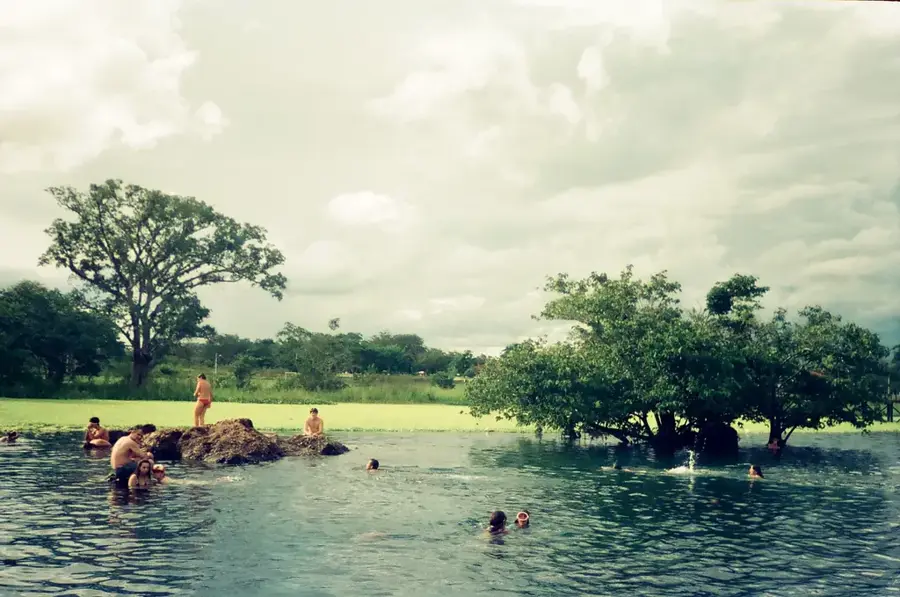
- Nearby: Serra da Leba (9 km)
Best time to visit & climate
The most pleasant time to visit is Jun–Aug.
| Jan | Feb | Mar | Apr | May | Jun | Jul | Aug | Sep | Oct | Nov | Dec | |
|---|---|---|---|---|---|---|---|---|---|---|---|---|
| Avg °C | 24 | 24 | 24 | 24 | 24 | 22 | 22 | 23 | 24 | 26 | 25 | 24 |
| Rain mm | 101 | 116 | 193 | 44 | 3 | 0 | 0 | 2 | 5 | 26 | 120 | 85 |
📋 Practical info
Geography
Facts
- The mountain pass road was completed and opened in 1974.
- The ascent features exactly 56 sharp hairpin turns.
- The highest point of the Serra da Leba range is 1,845 meters.
- It serves as the primary link between Lubango and the port of Namibe.
- The road is depicted on the 50 and 100 Angolan Kwanza banknotes.
- Nighttime temperatures frequently drop below 10°C due to the altitude.
Explore nearby
Notable places around
Route planner — Car & Motorhome
Where do you start? We build the route here, with stops and country notes along the way.
© OpenStreetMap contributors · OpenRouteService
Sights nearby
Frequently asked questions
How difficult is driving through Serra da Leba?
What is the best time for Serra da Leba?
Do you need a 4x4?
Are there viewpoints?
What is Serra known for?
Serra da Leba: where is it located?
Serra da Leba: when is the best time to visit?
Serra da Leba: why is it worth visiting?

Nearby cities


More places