Plizio Visual Lab
Matala Dam
Weather…
Water temperature…
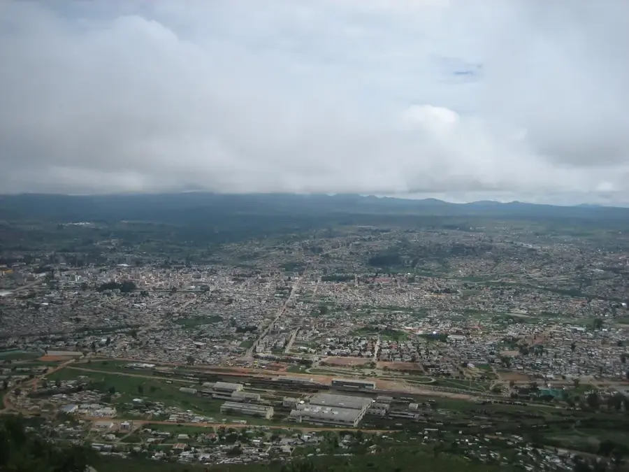
The Matala Dam, located on the Cunene River in Huíla Province, is a vital multi-purpose project for hydroelectric power and irrigation in southern Angola. Construction began in 1954 during the late colonial era and was completed in 1959. The facility primarily serves to generate electricity for the regional capital, Lubango, and surrounding areas, while also providing water for the vast Matala irrigation perimeter. This irrigation system is among the largest in the country, enabling the cultivation of grains, fruits, and vegetables across thousands of hectares. In recent years, the dam has undergone extensive rehabilitation to increase power generation capacity and ensure operational safety. The project is critical for food security in southern Angola, as it makes agriculture less dependent on erratic rainfall. Furthermore, the resulting reservoir provides opportunities for fishing and serves as an essential water source for the local population.
📋 Practical info
Geography
Facts
- The dam structure has a height of 28 meters and a length of 924 meters.
- The hydroelectric plant has an installed capacity of approximately 40 megawatts.
- The Matala irrigation perimeter covers over 42,000 hectares of land.
- Dam rehabilitation began in 2011 with international technical assistance.
- It was the first major dam constructed on the upper reaches of the Cunene River.
- The dam is equipped with 12 radial gates for water level regulation.
Explore nearby
Notable places around
Route planner — Car & Motorhome
Where do you start? We build the route here, with stops and country notes along the way.
© OpenStreetMap contributors · OpenRouteService
Sights nearby
Frequently asked questions
What is the Matala Dam?
Can you visit the area?
When is the best time to go to Matala?
What is nearby?
What is Matala known for?
Matala Dam: where is it located?
Matala Dam: why is it worth visiting?

Nearby cities


More places