Plizio Visual Lab
Ancodina
ℹ️Practical info — Ancodina
▾
🌤 Weather — 5 days
📍 Nearby
Sights nearby
💡 Tips
- Reach the hamlet easily via the scenic Iron Route (Ruta del Ferro) walking path.
- Parking is extremely limited, so it is better to park in nearby Ordino and walk.
- Since it's a tiny residential area, please respect the privacy of the locals.
- The surrounding nature is exceptionally beautiful in autumn when the leaves change.
🍽 Food
Artisanal cheeses crafted in nearby farmhouses.
Traditional cured meats great for a hiking picnic.
A local version of Catalan cream for a sweet treat.
🛍 Shopping · 🧘 Quiet spots
Pick up local honey or fresh agricultural products.
Small artisanal wooden items sometimes sold by locals.
A peaceful hiking trail running right through the valley.
Open green spaces around the stone houses to sit and relax.
Water temperature…
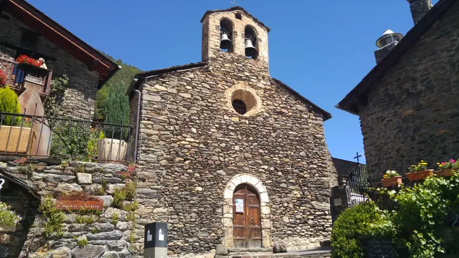
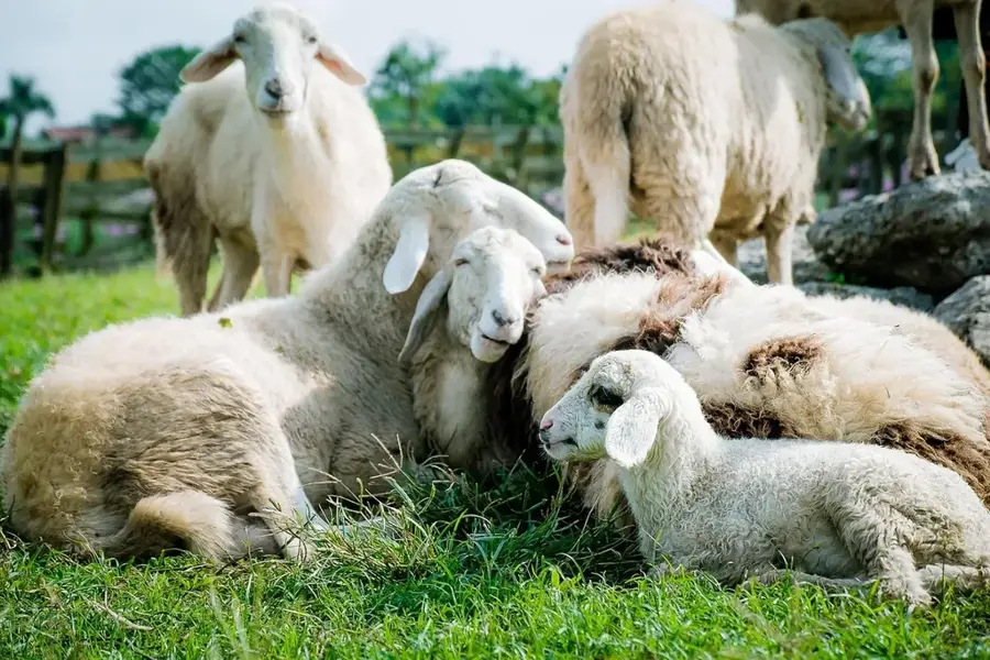
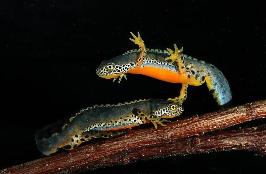
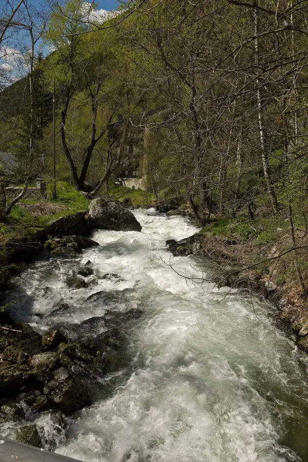
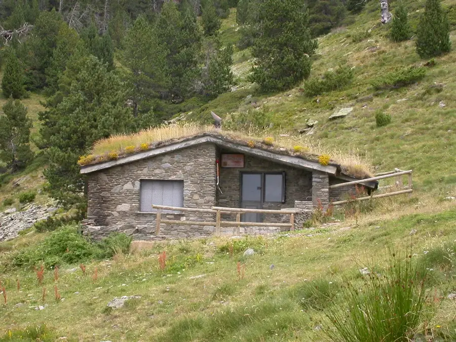
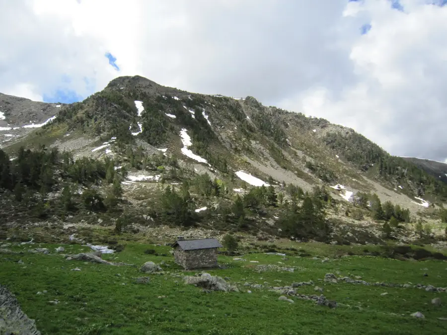
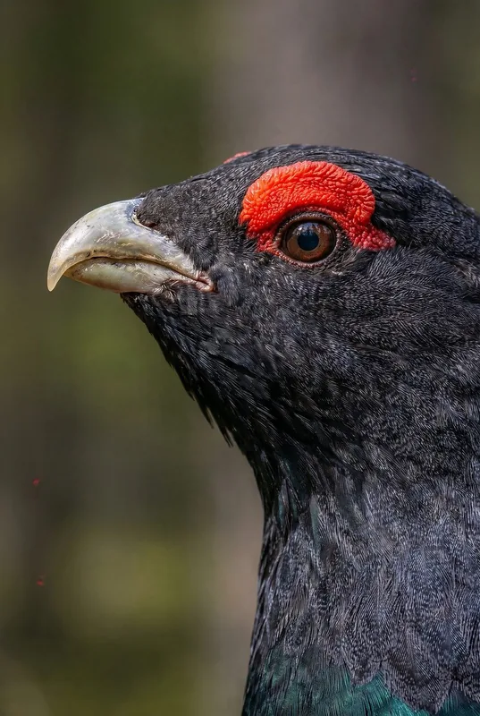
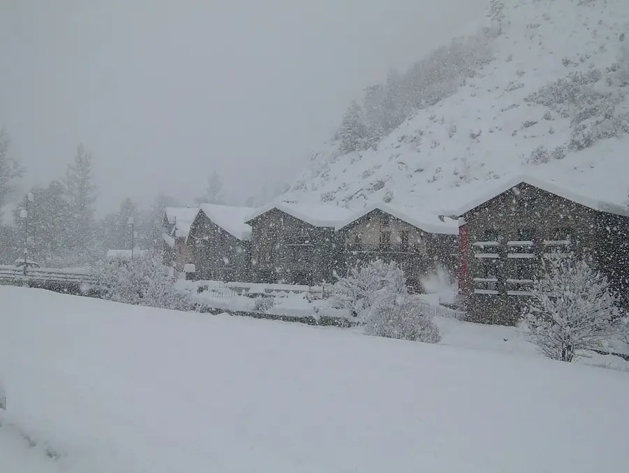
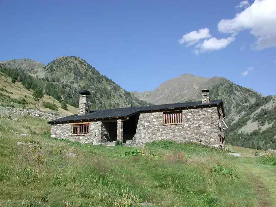
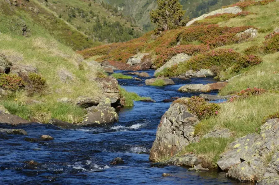
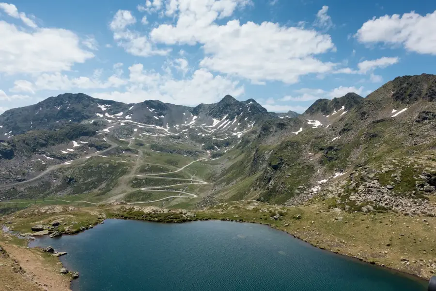
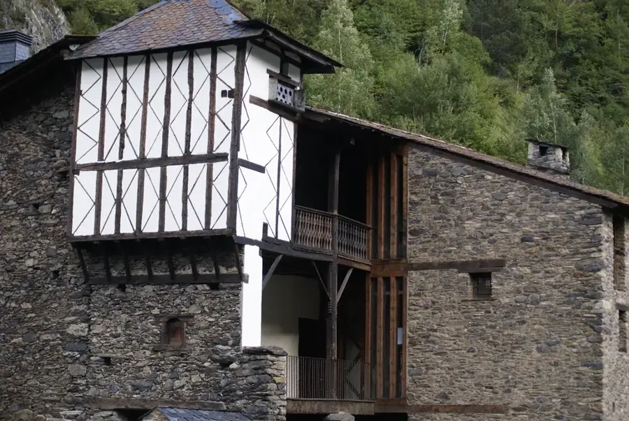
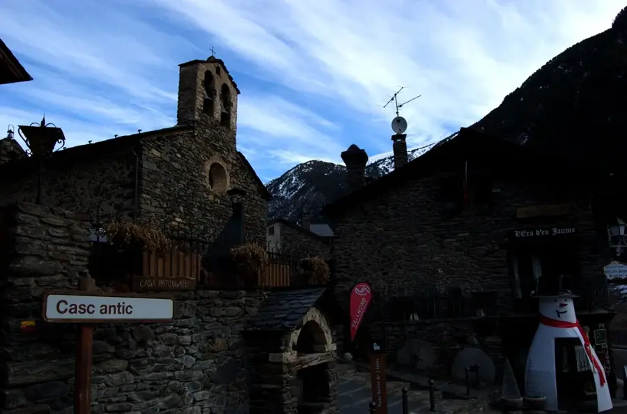
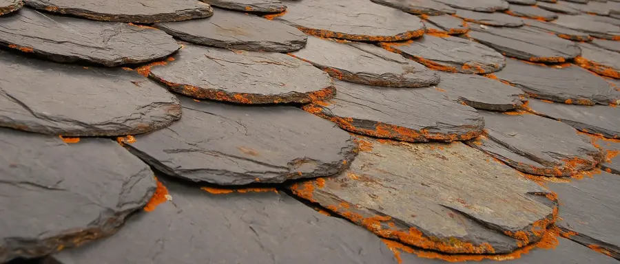
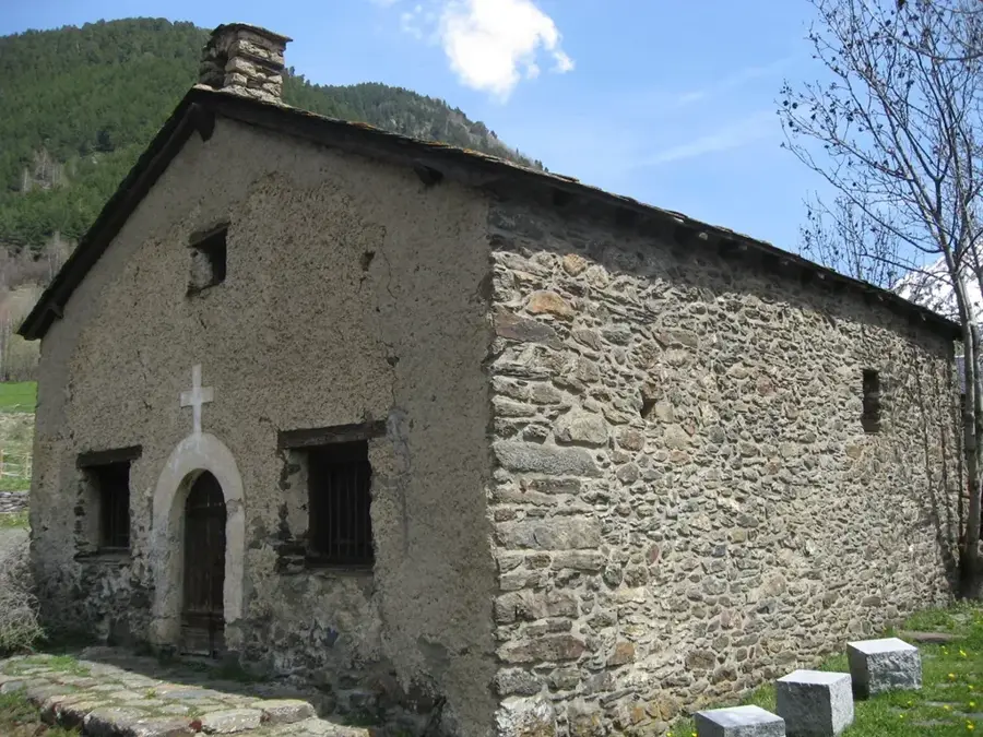
Ancodina is a high-altitude mountain area in the parish of Ordino, primarily known for its vast alpine pastures and ecological significance. Located in the upper valley of the Valira del Nord, on the way to the Arcalís ski resort, it has served for centuries as an important grazing area for livestock during the summer months. The region is characterized by subalpine vegetation with extensive pine forests and mountain meadows that host a rich variety of flora and fauna. Hikers value Ancodina as a starting point for tours to the Tristaina lakes or to the summit of Pic de l'Arcalís. Historically, numerous 'bordes' can be found here, traditional Andorran stone huts formerly used for storing hay and housing shepherds. Some of these structures have been carefully restored and bear witness to the importance of transhumance in Andorran history. In the winter months, the area is often deep in snow, offering an untouched backdrop away from the groomed slopes. The tranquility and vastness of the landscape make Ancodina a retreat for nature lovers seeking alpine solitude. Geologically, the area provides insights into the glacial shaping of the Pyrenean valleys by ancient glacier movements.
- Location: Andorra
- Top sights: Estany de Baiau · Pic del Sola d'Erts
- Nearby: Pal (4 km)
- Population: ~931
Best time to visit & climate
The most pleasant time to visit is Jun–Aug.
| Jan | Feb | Mar | Apr | May | Jun | Jul | Aug | Sep | Oct | Nov | Dec | |
|---|---|---|---|---|---|---|---|---|---|---|---|---|
| Avg °C | -2 | -2 | 1 | 5 | 9 | 14 | 16 | 16 | 12 | 8 | 2 | -1 |
| Rain mm | 60 | 48 | 57 | 71 | 77 | 52 | 46 | 47 | 50 | 64 | 70 | 49 |
Geography
Facts
- Ancodina is situated at an average elevation of approximately 1,800 to 2,000 meters.
- The area is home to the historic 'Borda de l'Ancodina'.
- It is an important habitat for the capercaillie and the Andorran marmot.
- The pastures are still used today for traditional cattle farming.
- The CG-3 road passes directly through this scenic section.
- In spring, rare species of daffodils and mountain crocuses bloom here.
Explore nearby
Notable places around
Route planner — Car & Motorhome
Where do you start? We build the route here, with stops and country notes along the way.
© OpenStreetMap contributors · OpenRouteService
Frequently asked questions
What is special about Ancodina?
Are there BBQ facilities there?
Is Ancodina located by the road?
Are there toilets there?
When is the best time for a picnic?
Ancodina: where is it located?
Ancodina: what is there to see?
Ancodina: when is the best time to visit?
Ancodina: why is it worth visiting?

Nearby cities

More places