Plizio Visual Lab
Sakson İsviçre Milli Parkı
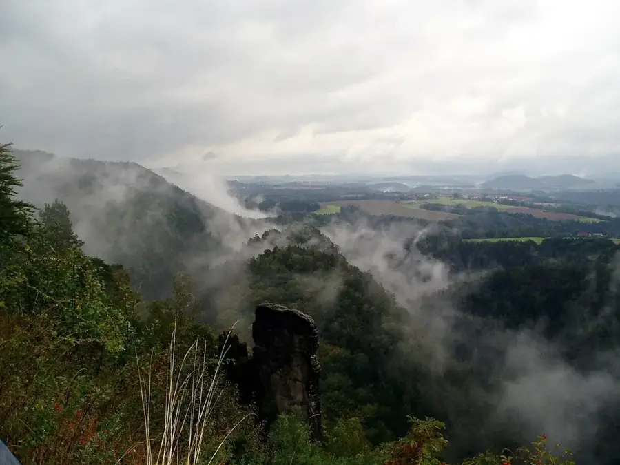
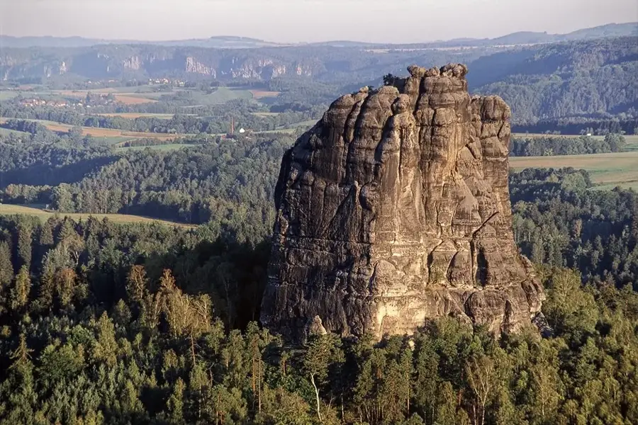
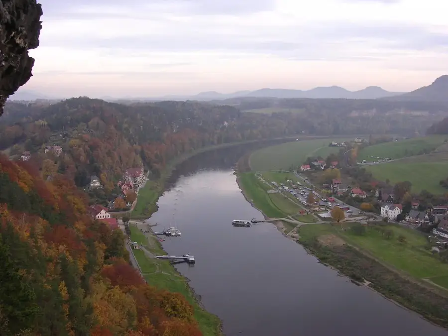
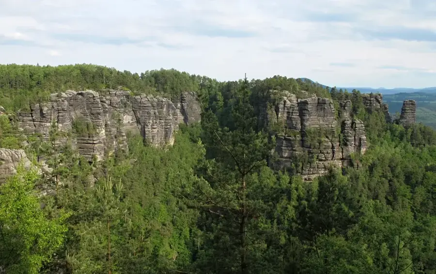
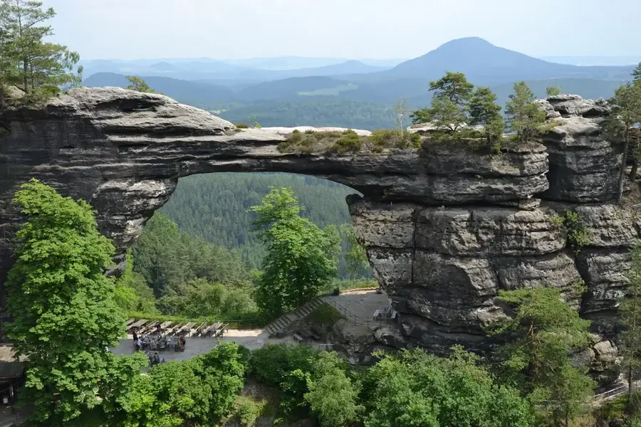
Nationalpark Sächsische Schweiz, Almanya'nın tek kaya milli parkıdır ve yaklaşık 93,5 kilometrekarelik bir alana yayılır. 1 Ekim 1990'da, Elbsandsteingebirge'nin tuhaf kaya oluşumları ve derin geçitleri ile eşsiz doğa manzarasını kalıcı olarak korumak amacıyla kurulmuştur. Alanın yaklaşık yüzde 75'i, büyük bölümlerinde ormancılık kullanımı olmadan yarının bir balta girmemiş ormanına dönüşmesine izin verilen ormanlarla kaplıdır. Milli Park, burada ideal yaşam koşulları bulan gökdoğan, kara leylek ve su samuru gibi nadir hayvan türleri için bir sığınaktır. Ziyaretçiler için park, 400 kilometreden fazla işaretli yürüyüş yolu ağı ve Elbe vadisi üzerinde muhteşem manzaralar sunan sayısız seyir noktası sunar. Bir özellik, doğanın mutlak önceliğe sahip olduğu çekirdek bölgeler ile serbest zaman etkinlikleri için erişilebilir alanların kesin ayrımıdır. Milli Park, bu eşsiz doğa alanının sınır ötesi korunmasını sağlamak için komşu Çek Cumhuriyeti'ndeki Nationalpark Böhmische Schweiz ile yakın iş birliği yapmaktadır.
Haritada keşfet
Almanya hakkında ne kadar bilgilisin?
Etkileşimli haritada 10 çeşitli zorlukta şehirleri, manzaraları ve bölgeleri bul.
Seyahatin, senin anın
Sakson İsviçre Milli Parkı’den bir kartpostal
Kendi fotoğrafını yerel posta puluyla kişisel bir kartpostala çevir. Ücretsiz ve kayıt gerektirmez.
Kartpostal oluştur- Konum: Sachsen, Almanya
- Öne çıkanlar: Elsas Ruh · Konstanzes Weitblick · Götzingerhöhe
- Yakınlar: Sebnitz (7 km)
En iyi ziyaret zamanı & iklim
En keyifli dönem: Haz–Ağu.
| Oca | Şub | Mar | Nis | May | Haz | Tem | Ağu | Eyl | Eki | Kas | Ara | |
|---|---|---|---|---|---|---|---|---|---|---|---|---|
| Ort. °C | -2 | -1 | 3 | 8 | 13 | 17 | 20 | 19 | 14 | 9 | 4 | 0 |
| Yağmur mm | 61 | 41 | 48 | 38 | 64 | 73 | 87 | 81 | 58 | 54 | 56 | 56 |
📋 Pratik bilgiler
Coğrafya
Gerçekler
- Yüzölçümü: yaklaşık 93,5 kilometrekare.
- 1 Ekim 1990 tarihinde kurulmuştur.
- 400 km'den fazla işaretli yürüyüş yolu vardır.
- Gökdoğan ve kara leylekler için koruma alanıdır.
- Alanın %75'i ormanlıktır.
- Çekya ile sınır ötesi iş birliği yapılmaktadır.
Yakınları keşfet
Çevredeki dikkat çekici yerler
Rota planlayıcı — Araba & Karavan
Nereden başlıyorsunuz? Burada rota oluşturuyoruz, yol boyunca duraklar ve ülke notları ile.
© OpenStreetMap contributors · OpenRouteService
Kasabadaki görülecek yerler Sakson İsviçre Milli Parkı (10)
Götzingerturm
Observation tower on Götzingerhöhe, offering panoramic views of the region.
Richters Berg
Sachsen’de, Çekya sınırına yakın ormanlık bir tepe.
Unger
Sachsen’de nadir bitki ve hayvan türlerini koruyan doğa koruma alanı.
Erlebnisbad Mariba
Neustadt, Sachsen’de kaydıraklı ve havuzlu açık yüzme havuzu.
Neustadthalle
Neustadt’ta konser ve tiyatro gösterimleri için kullanılan etkinlik salonu.
Katholische Kirche St. Gertrud
Neustadt’taki Katolik kilisesi, Aziz Gertrud’a adanmıştır.
Çevredeki gezilecek yerler
Sıkça sorulan sorular
Sakson İsviçre Milli Parkı'na giriş ücreti var mı?
Bastei Köprüsü'ne en kolay nasıl ulaşırım?
Sağlam ayakkabı gerekli mi?
Ziyaret için en iyi zaman ne zamandır?
Parkta yiyecek yiyebileceğim yerler var mı?
Sakson İsviçre Milli Parkı: nerede yer alıyor?
Sakson İsviçre Milli Parkı: gezilecek yerler neler?
Sakson İsviçre Milli Parkı: en iyi ziyaret zamanı ne zaman?
Sakson İsviçre Milli Parkı: neden ziyaret edilmeye değer?

Yakındaki şehirler