Plizio Visual Lab
Weser
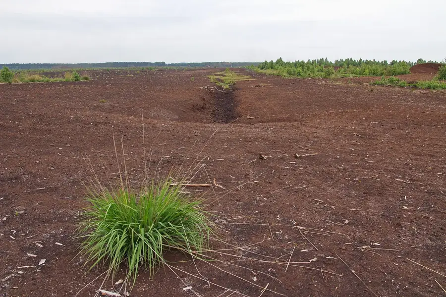
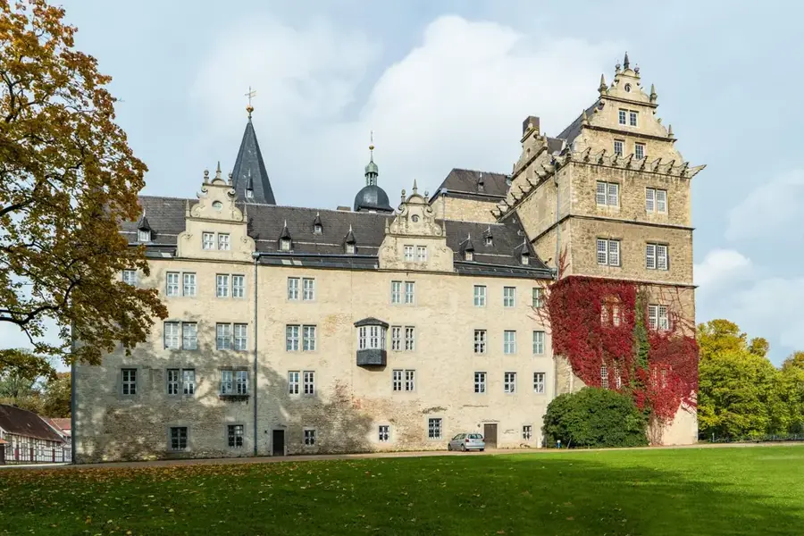
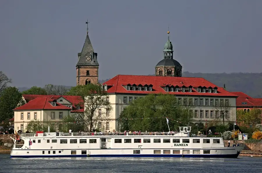
Weser, Hann. Münden'de Werra ve Fulda nehirlerinin birleşmesiyle oluşan ve 452 kilometre sonra Bremerhaven'de Kuzey Denizi'ne dökülen Almanya'daki önemli bir nehirdir. Havzası tamamen ülke içinde yer alan ve orta dağları Kuzey Almanya ovalarına belirgin bir şekilde bağlayan tek büyük Alman nehridir. Akışı boyunca Weser; Hameln, Minden ve Bremen gibi tarih yüklü şehirlerden geçer; Bremen Mızıkacıları bölgenin en bilinen efsanelerinden biridir. Weser Rönesansı, nehir boyunca pek çok sarayda ve konutta hayranlıkla izlenebilen, 16. ve 17. yüzyıllara ait özgün bir mimari tarzdır. Ekonomik olarak nehir, özellikle kuzeydeki büyük deniz limanlarına mal taşımacılığı için önemli bir iç su yolu olarak hizmet eder. Weserbergland ayrıca turizm için, Almanya'nın en çok kullanılan bisiklet rotalarından biri olan popüler Weser-Radweg dahil olmak üzere çeşitli manzaralar sunar. Ekolojik önemi, geniş bataklık arazilerinde ve ağızdaki sığ deniz (Wadden Denizi) alanlarında kendini gösterir.
Haritada keşfet
Almanya hakkında ne kadar bilgilisin?
Etkileşimli haritada 10 çeşitli zorlukta şehirleri, manzaraları ve bölgeleri bul.
Seyahatin, senin anın
Weser’den bir kartpostal
Kendi fotoğrafını yerel posta puluyla kişisel bir kartpostala çevir. Ücretsiz ve kayıt gerektirmez.
Kartpostal oluştur- Konum: Niedersachsen, Almanya
- Öne çıkanlar: Surfstrand Mardorf · Badestrand Weiße Düne
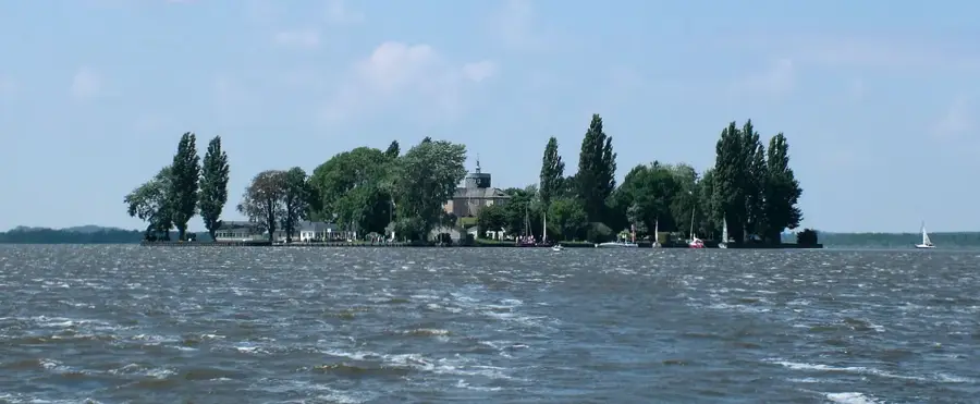
- Yakınlar: Steinhude (5 km)
En iyi ziyaret zamanı & iklim
En keyifli dönem: Haz–Ağu.
| Oca | Şub | Mar | Nis | May | Haz | Tem | Ağu | Eyl | Eki | Kas | Ara | |
|---|---|---|---|---|---|---|---|---|---|---|---|---|
| Ort. °C | 1 | 1 | 4 | 9 | 13 | 17 | 19 | 18 | 15 | 10 | 5 | 2 |
| Yağmur mm | 69 | 50 | 50 | 38 | 60 | 62 | 78 | 69 | 55 | 59 | 62 | 68 |
📋 Pratik bilgiler
Coğrafya
Gerçekler
- Hann. Münden'de Werra ve Fulda nehirlerinden oluşur.
- Münden'den Kuzey Denizi'ne kadar toplam uzunluğu 452 km'dir.
- Havzası 46.306 km²'lik bir alanı kapsar.
- Weser-Radweg, nehir boyunca yaklaşık 520 km uzanır.
- Porta Westfalica, Weser'in Wiehengebirge dağlarını yardığı yerdir.
- Bremen 1229'da şehir haklarını almıştır ve doğrudan Weser üzerindedir.
Yakınları keşfet
Çevredeki dikkat çekici yerler
Rota planlayıcı — Araba & Karavan
Nereden başlıyorsunuz? Burada rota oluşturuyoruz, yol boyunca duraklar ve ülke notları ile.
© OpenStreetMap contributors · OpenRouteService
Kasabadaki görülecek yerler Weser (2)
Badestrand Weiße Düne🎡 eğlence
Resting gracefully on the gentle banks of the Weser river near Nienburg, the Badestrand Weiße Düne provides an idyllic backdrop for sunny days. The riverside sandy beach conveys a delightfully charming inland holiday feel, openly inviting you for relaxed sunbathing. It is a great spot to stroll comfortably by the water or pause to watch the passing riverland scenery. Packing a lovely picnic is the absolute best way to fully enjoy a day on the Weser.
Çevredeki gezilecek yerler
Sıkça sorulan sorular
Weser nereden kaynaklanır?
Weser Bisiklet Yolu ne kadar uzun?
Weser üzerinde hangi büyük şehirler yer alır?
Weser navigasyona uygun mu?
Weser boyunca masallar var mı?
Weser: nerede yer alıyor?
Weser: gezilecek yerler neler?
Weser: en iyi ziyaret zamanı ne zaman?

Yakındaki şehirler