Plizio Visual Lab

Ruhr

Plizio editör ekibiVeri Kaynakları
Fluss
—°41
Ruhr (Almanya)

Hava durumu…

2026'nın öne çıkan olayları

4

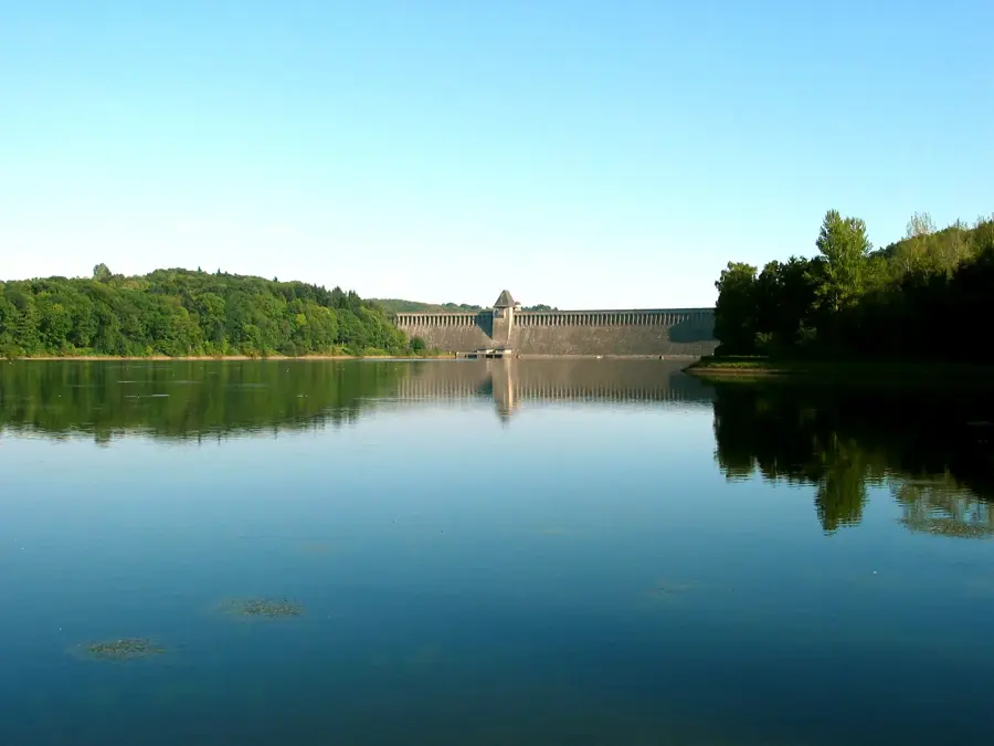
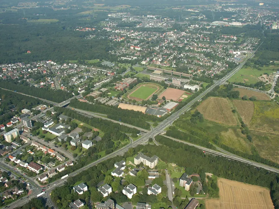
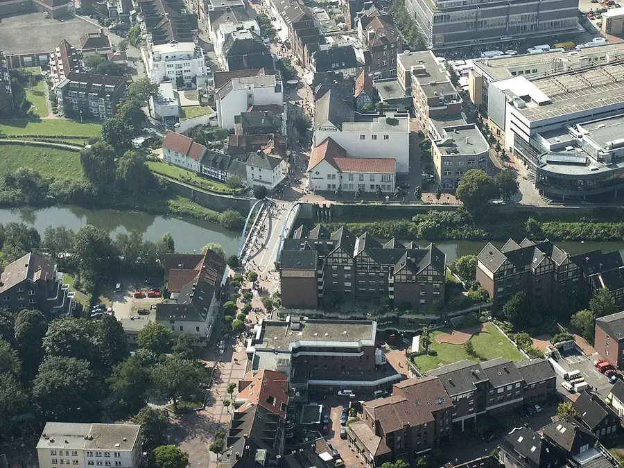
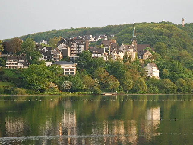
Ruhr, Batı Almanya'da Rhein nehrinin 219 kilometre uzunluğundaki bir yan koludur ve ülkenin en büyük metropol alanı olan Ruhrgebiet'e adını vermiştir. Sauerland bölgesinde, Winterberg yakınlarındaki Ruhrkopf'un kuzey yamacında yaklaşık 674 metre yükseklikte doğar ve Duisburg-Ruhrort'ta Rhein'a dökülür. Tarihsel olarak nehir, 18. ve 19. yüzyıllarda kömür taşımacılığı için en önemli su yoluydu ve bu da bölgenin endüstriyel gelişimini büyük ölçüde hızlandırdı. Akışı boyunca Baldeneysee veya Kemnader See gibi çok sayıda baraj gölü oluşturulmuş olup bunlar bugün su temini ve rekreasyon amacıyla kullanılmaktadır. Orta ve aşağı Ruhr bölgesindeki yoğun nüfuslanmaya rağmen, nehir vadisinin büyük bölümleri doğal karakterini korumuştur. Ruhr, bugün ağır sanayiden eğlence ve hizmet bölgesine doğru gerçekleşen yapısal değişimin bir sembolüdür.

Yolculuğun, hatıran

Ruhr hatırası bir kartpostal

Kendi fotoğrafını yer damgalı kişisel bir kartpostala dönüştür. Ücretsiz ve kayıt gerektirmez.

Kartpostal oluştur

En iyi ziyaret zamanı & iklim

En keyifli dönem: Haz–Ağu.

OcaŞubMarNisMayHazTemAğuEylEkiKasAra
Ort. °C125913171918151062
Yağmur mm917064476971838467698190

📋 Pratik bilgiler

🧭
Ulaşım
The Ruhr River is highly accessible via the extensive RuhrtalRadweg (Ruhr Valley Cycle Route) and is exceptionally well-served by widespread public transportation networks connecting the various cities of the region.
📅
En iyi mevsim
The river and its surrounding recreational areas are most enjoyable from late spring to early autumn, offering perfect weather conditions for cycling, walking, and engaging in various water sports on the reservoir lakes.
⛰️
Arazi ve yollar
The terrain is largely gentle and flat along the designated cycling routes, gracefully transitioning from forested, natural areas near its source to more urban, historically transformed landscapes featuring industrial sites.
🎒
Ekipman
A reliable bicycle is the most popular way to deeply explore, along with comfortable cycling or walking shoes. Weather-appropriate outdoor clothing and carrying a reusable water bottle are always highly recommended.
🅿️
Otopark
Numerous practical parking options exist closely near the river's major reservoirs (like Baldeneysee), popular local parks, and prominent industrial heritage sites, often with dedicated lots precisely for recreational users.
⚠️
Güvenlik
While the cycling paths are extremely well-maintained, always be mindful of other active cyclists and pedestrians on busy summer weekends. Swimming is strictly restricted to officially designated reservoir beach areas.
⏱️
Gerekli süre
Visits can flexibly range from a quick two-hour revitalizing walk around one of the reservoir lakes to an immersive multi-day cycling trip actively covering the entire length of the immensely popular Ruhr Valley Cycle Route.

Geographie

Koordinaten
51.51000, 7.46000

Fakten

  • Ruhr'un toplam uzunluğu tam olarak 219,3 kilometredir.
  • Nehrin havzası yaklaşık 4.485 kilometrekarelik bir alanı kapsar.
  • Duisburg'daki ağzının en derin noktası deniz seviyesinden 20,2 metre yüksekliktedir.
  • 19. yüzyılda Ruhr, Avrupa'nın en yoğun trafiğine sahip nehri olarak kabul ediliyordu.
  • Beş büyük baraj gölü, aşağı Ruhr'un su dengesini düzenlemektedir.
  • 5 milyondan fazla insan içme suyunu doğrudan veya dolaylı olarak Ruhr'dan sağlamaktadır.

Çevreyi keşfet

Yakındaki ilgi çekici yerler

Route planner — Car & Motorhome

Where do you start? We build the route here, with stops and country notes along the way.

Vehicle
Only stops with (optional):
Motorhome dimensions

© OpenStreetMap contributors · OpenRouteService

Sehenswürdigkeiten in der Stadt Ruhr (1)

Revierstrand Dortmund🎡 eğlence

Revierstrand in Dortmund an der Ruhr.

Çevredeki gezilecek yerler

Sıkça sorulan sorular

What is the Ruhr region?
It is an industrial region in NRW named after the river Ruhr.
Where does the Ruhr rise?
The Ruhr rises near Winterberg in the Sauerland on the Ruhrkopf.
How long is the RuhrtalRadweg?
The cycle path is about 240 km long and follows the river from the source to the Rhine.
Where does the Ruhr flow into?
The Ruhr flows into the Rhine in Duisburg-Ruhrort.
Was the Ruhr used for shipping in the past?
Yes, in the 18th and 19th centuries it was one of the busiest rivers for coal transport.
Ruhr: nerede yer alıyor?
Ruhr, Almanya bölgesinde yer alır.
Ruhr: en iyi ziyaret zamanı nedir?
En keyifli dönem: Haz, Ağu.
Ruhr: neden ziyaret edilmeli?
Ruhr, Batı Almanya'da Rhein nehrinin 219 kilometre uzunluğundaki bir yan koludur ve ülkenin en büyük metropol alanı olan Ruhrgebiet'e adını vermiştir.
Auf der Karte ansehen → En güzel plajlar → OpenStreetMap →
Avrupa
Plizio ile keşfet Avrupa'da daha fazla yer keşfedin
Almanya içinde daha fazla yer →

Städte in der Nähe