Plizio Visual Lab
Spree (Brandenburg)
Hava durumu…
Su sıcaklığı…
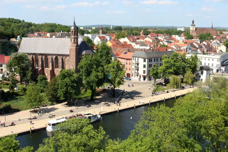
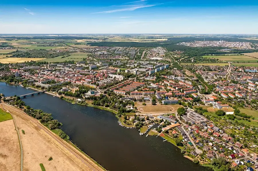
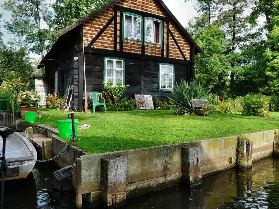
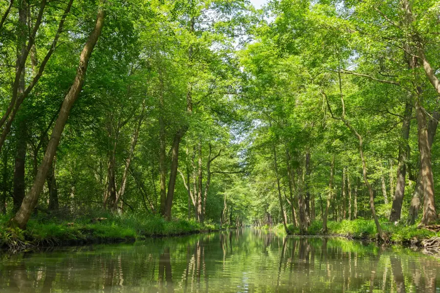
Spree, Brandenburg eyaletindeki en önemli nehirdir ve bölgenin manzarasını ve kültürünü önemli ölçüde şekillendirir. Yaklaşık 400 kilometrelik toplam uzunluğu ile Lausitz dağlarından doğar ve Berlin yolunda UNESCO Biyosfer Rezervi Spreewald'ın içinden geçer. Bu bölüm, 'Fließen' olarak adlandırılan ve geleneksel olarak sandallarla (Kähne) gezilen 300'den fazla küçük su kolundan oluşan ince ağ yapısıyla dünya çapında eşsizdir. Spree, yüzyıllardır önemli bir ulaşım yolu ve enerji kaynağı olarak hizmet vermiş, bu da Cottbus ve Fürstenwalde gibi şehirlerin gelişmesini sağlamıştır. Aşağı kesiminde Müggelsee'yi besler ve sonunda Berlin-Spandau'da Havel'e dökülür. Ekolojik olarak nehir, taşkın yatağı manzaralarıyla büyük öneme sahipken, aynı zamanda milyonlarca insan için içme suyu kaynağı ve dinlenme alanı görevi görür. Kanal genişletmeleri Spree'yi ayrıca Oder ve Elbe nehirlerine bağlar.
Haritada keşfet
Almanya hakkında ne kadar bilgilisin?
Etkileşimli haritada 10 çeşitli zorlukta şehirleri, manzaraları ve bölgeleri bul.
Seyahatin, senin anın
Spree (Brandenburg)’den bir kartpostal
Kendi fotoğrafını yerel posta puluyla kişisel bir kartpostala çevir. Ücretsiz ve kayıt gerektirmez.
Kartpostal oluştur- Konum: Brandenburg, Almanya
- Yakınlar: Lübben (Spreewald) (7 km)
En iyi ziyaret zamanı & iklim
En keyifli dönem: Haz–Ağu.
| Oca | Şub | Mar | Nis | May | Haz | Tem | Ağu | Eyl | Eki | Kas | Ara | |
|---|---|---|---|---|---|---|---|---|---|---|---|---|
| Ort. °C | -1 | 0 | 4 | 9 | 14 | 19 | 21 | 20 | 15 | 10 | 5 | 1 |
| Yağmur mm | 52 | 36 | 40 | 29 | 54 | 56 | 81 | 60 | 48 | 47 | 50 | 46 |
📋 Pratik bilgiler
Coğrafya
Gerçekler
- Toplam uzunluğu 400 km olup bunun yaklaşık 180 km'si Brandenburg'dadır.
- Spreewald, 1991 yılında UNESCO tarafından Biyosfer Rezervi olarak tanınmıştır.
- Nehrin Sachsen'de üç kaynağı vardır (Ebersbach, Neugersdorf, Kottmar).
- Havza alanı toplam 10.105 kilometrekaredir.
- Oder-Spree Kanalı, 1891'den beri nehri Oder'e bağlamaktadır.
- Berlin'deki ortalama debisi saniyede yaklaşık 36 metreküptür.
Yakınları keşfet
Çevredeki dikkat çekici yerler

Rota planlayıcı — Araba & Karavan
Nereden başlıyorsunuz? Burada rota oluşturuyoruz, yol boyunca duraklar ve ülke notları ile.
© OpenStreetMap contributors · OpenRouteService
Kasabadaki görülecek yerler Spree (Brandenburg) (1)
Çevredeki gezilecek yerler
Sıkça sorulan sorular
Spree nerede doğar?
Spree'de tekne gezisi yapılabilir mi?
Spree boyunca bisiklet yolu var mı?
Spree boyunca hangi hayvanlar yaşar?
Spree Spreewald'dan akar mı?
Spree (Brandenburg): nerede yer alıyor?
Spree (Brandenburg): en iyi ziyaret zamanı ne zaman?
Spree (Brandenburg): neden ziyaret edilmeye değer?

Yakındaki şehirler