Plizio Visual Lab
Wimbachgries
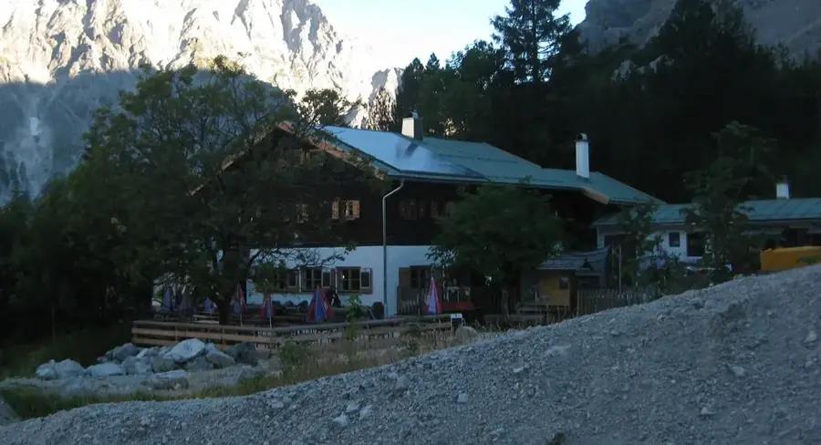
Wimbachgries, Nationalpark Berchtesgaden'de etkileyici bir jeolojik fenomendir ve devasa bir moloz akıntısı olarak yaklaşık on kilometrelik bir uzunluğa yayılır. Watzmann ve Hochkalter dağ kütleleri arasında, 300 metre kalınlığa kadar kireçtaşı molozu tabakasıyla dolmuş, derin bir şekilde yarılmış bir yüksek vadidir. Bu moloz, çevredeki zirvelerin sürekli aşınmasından kaynaklanır ve yavaşça vadiye doğru hareket eder. Bir özelliği de Wimbach nehrinin uzun mesafeler boyunca gevşek kayaçların altında yer altından akması ve ancak vadi girişindeki muhteşem Wimbachklamm'da yüzeye çıkmasıdır. Gries'in manzarası çorak ve neredeyse ağaçsızdır, bu da ona neredeyse gerçek dışı, çöl benzeri bir görünüm kazandırır. Yürüyüşçüler bölgeyi benzersiz jeomorfolojisi ve bozulmamış Alp doğası için takdir ederler. Wimbachgries, bilim insanları için Alpler'deki erozyon süreçlerini incelemek amacıyla önemli bir araştırma objesi olarak hizmet vermektedir.
Haritada keşfet
Almanya hakkında ne kadar bilgilisin?
Etkileşimli haritada 10 çeşitli zorlukta şehirleri, manzaraları ve bölgeleri bul.
Seyahatin, senin anın
Wimbachgries’den bir kartpostal
Kendi fotoğrafını yerel posta puluyla kişisel bir kartpostala çevir. Ücretsiz ve kayıt gerektirmez.
Kartpostal oluştur- Konum: Bayern, Almanya
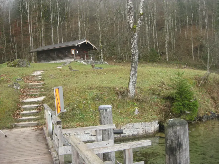
- Öne çıkanlar: Nationalpark-Informationsstelle Hintersee "Klausbachhaus" · Schärtenspitze · Blaueisspitze
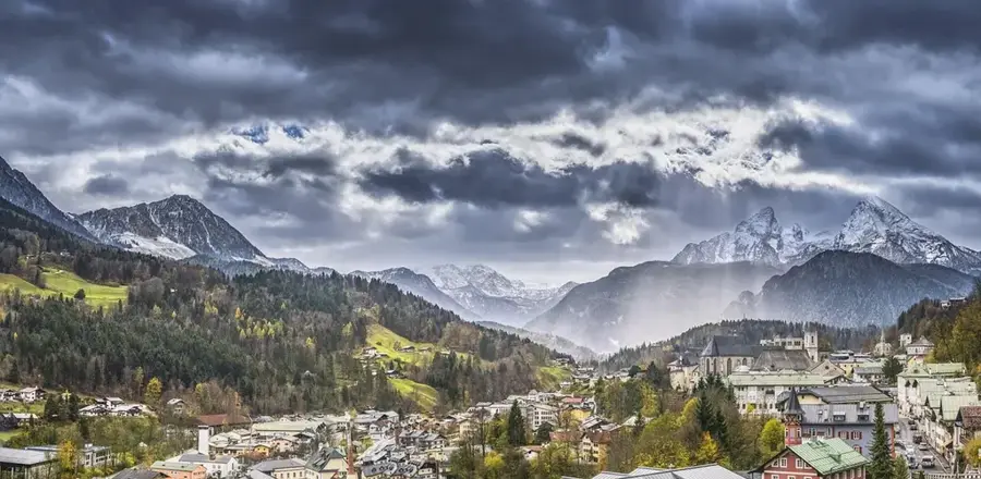
- Yakınlar: Berchtesgaden (11 km)
En iyi ziyaret zamanı & iklim
En keyifli dönem: Haz–Ağu.
| Oca | Şub | Mar | Nis | May | Haz | Tem | Ağu | Eyl | Eki | Kas | Ara | |
|---|---|---|---|---|---|---|---|---|---|---|---|---|
| Ort. °C | -5 | -4 | 0 | 5 | 10 | 14 | 15 | 15 | 11 | 7 | 1 | -3 |
| Yağmur mm | 91 | 72 | 89 | 85 | 151 | 176 | 184 | 184 | 135 | 102 | 76 | 82 |
📋 Pratik bilgiler
Coğrafya
Gerçekler
- Moloz akıntısının uzunluğu yaklaşık 10 km'dir.
- Moloz tabakası 300 metreye kadar kalınlıktadır.
- Watzmann ve Hochkalter arasında yer alır.
- Wimbach çoğunlukla yer altından akar.
- Wimbachklamm üzerinden giriş sağlanır.
- Nationalpark Berchtesgaden'in bir parçasıdır.
Yakınları keşfet
Çevredeki dikkat çekici yerler
Rota planlayıcı — Araba & Karavan
Nereden başlıyorsunuz? Burada rota oluşturuyoruz, yol boyunca duraklar ve ülke notları ile.
© OpenStreetMap contributors · OpenRouteService
Kasabadaki görülecek yerler Wimbachgries (4)
Çevredeki gezilecek yerler
Sıkça sorulan sorular
Wimbachgries nedir?
Yürüyüş ne kadar zahmetli?
Giriş için ücret ödemek gerekiyor mu?
Yemek yiyebileceğiniz yerler var mı?
Otopark için en iyi yer neresi?
Wimbachgries: nerede yer alıyor?
Wimbachgries: gezilecek yerler neler?
Wimbachgries: en iyi ziyaret zamanı ne zaman?
Wimbachgries: neden ziyaret edilmeye değer?

Yakındaki şehirler